

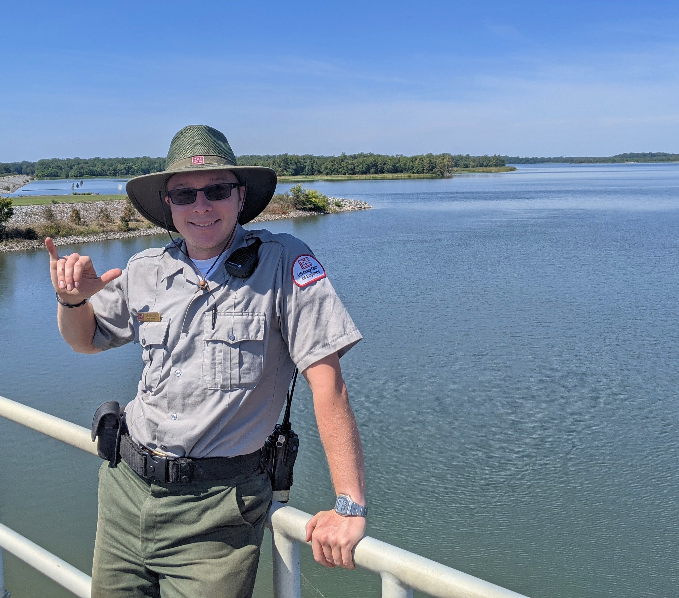
Park Ranger at the Arkansas Post
Park Ranger at the Arkansas Post

This summer, I worked as a summer Park Ranger for the U.S. Army Corps of Engineers (USACE), at the Arkansas Post Field Office (APFO). (The Federal Government loves its acronyms and those are a few of many I encountered with some confusion.) One of my dreams is to work as a Park Ranger with the NPS so this was a good stepping stone towards this goal. I learned many about the Federal Government, The Arkansas Post area and its history, fixing water leaks and other maintenance tasks, and much more. Let’s dive in!
Geography
I worked in southeastern Arkansas, in the area known as the Arkansas Post. It’s the confluence of the Arkansas and White rivers into the Mississippi River. The US. Army Corps project I worked on was the MKARNS (McClellan-Kerr Arkansas River Navigation System). In brief, the MKARNS is a navigation project that assures that tow boats pushing barges always have deep enough water to ship goods back and forth between Tulsa and the Mississippi River. It also serves the major ports of Little Rock and Pine Bluff in-between.

As can be seen in the map, the MKARNS has 18 locks and dams between Tulsa and the Mississippi. My area within the project encompassed the last 3. Let’s zoom in.

Interestingly enough, the navigation channel does not follow the Arkansas River for the entire route. with about 35 miles to go in the Arkansas, it takes the Arkansas Post canal over to the White River, and then follows it the remaining ~10 miles to it’s confluence in the Mississippi. This may seem like a 20th century innovation by the Army Corps just out of convenience, however this was the route that steamboat captains used before any official waterway was engineered. The last 35 miles of the Arkansas got quite shallow in spots as it widened and approached its confluence with the Mississippi. Steamboats that risked its passage would often run into shoals or snags which would delay or send them back the way they came. It was determined pretty early on that the White River had a deeper, more trustworthy, and more predictable channel, so it was used instead.1 There were typically 1-3 spots where the Arkansas and White would connect depending on water level. This became know as the “White River Cutoff”2
The modern-day navigation route is shown in the map below:

An annotated map with waypoints of the same area can be found here:https://www.google.com/maps/d/edit?mid=1tuCllUyRU1H0USpG0aa8lVEtIne0Msi3&usp=sharing
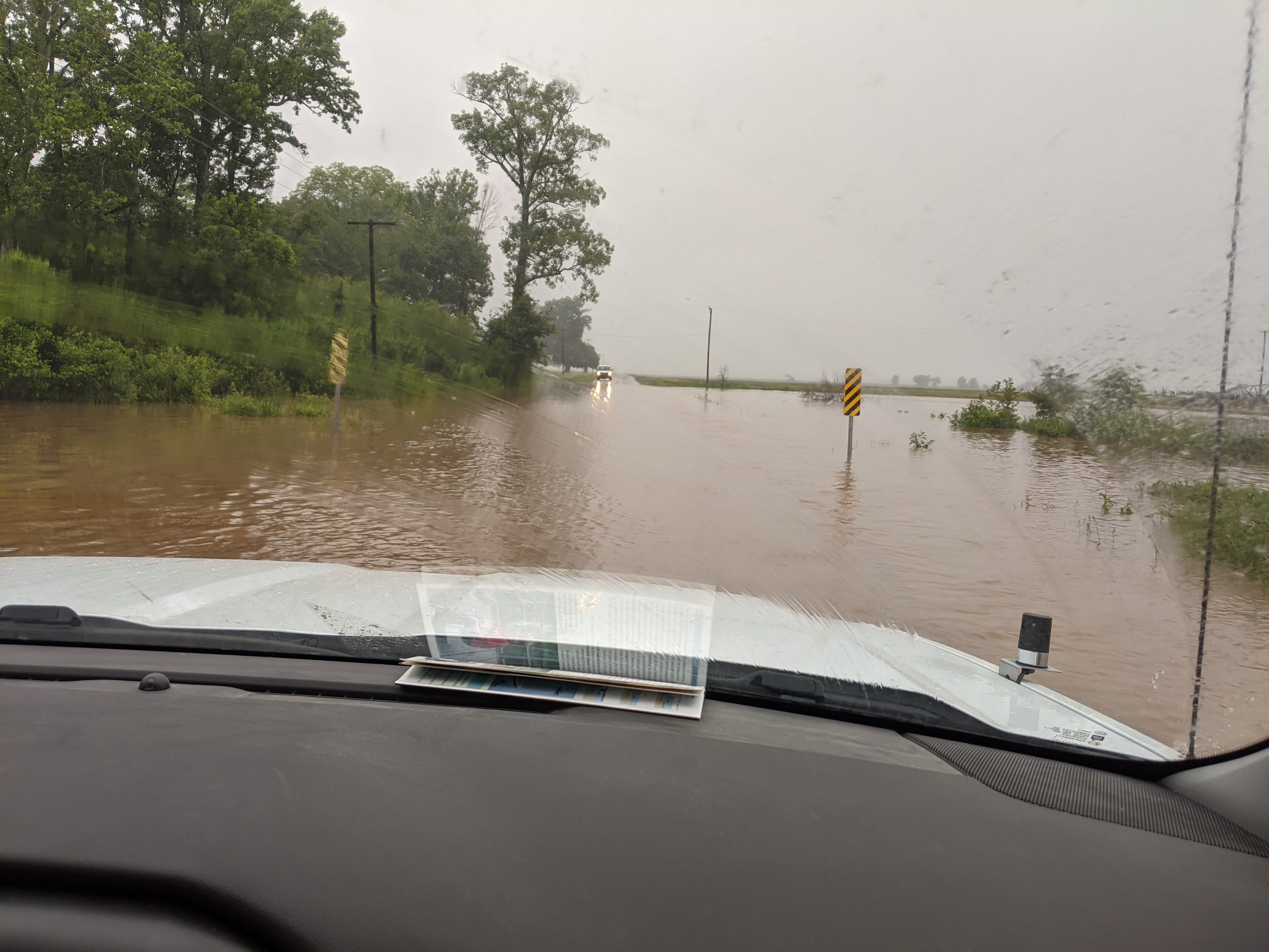
This area is at the heart of the Mississippi Delta, stretching by various accounts from Memphis to Vicksburg. Therefore the land is an extremely flat floodplain, rich with alluvial deposits. Farming is king here. Crops grown are corn, soybeans, cotton, an rice. Because the Delta is so flat, flash flooding is commonplace, and this was a scene not too uncommon this summer:
History
The main ancestral inhabitants of the lower Arkansas River valley were the Quapaws. The Quapaw are members of the Dhegiha Siouan language group, which also includes the Osage, the Omaha.3 The group originally lived in the Ohio river valley, but allegedly split up due to a miscommunication about which way to turn upon arriving at the Mississippi River confluence. The the group that became the Omaha turned upsteam, and the group that became the Quapaw turned downstream. The word Quapaw means “The downstream people” 4 The Quapaw were considered a very friendly tribe, who traded readily and looked for alliances, rather than conflict. The Osages, who lived more upstream on the Arkansas River were the exact opposite, extremely hostile to any foreigners notably Europeans in the 19th century.

The first European in this region was Hernando De Soto in 1543, who interestingly enough did not meet any Quapaw. The first contact with this group was in 1673 by La Salle. Which opens up the interesting question called the “Quapaw Paradox” which tries to determine when the Quapaw migrated to their ancestral Arkansas home. There is no consensus of this question.5
The Osage, who occupied the upper Arkansas River, were diametrically opposed to the Quapaws. They interacted aggressively with any foreigners including Europeans who ventured into their territory.
Fast-forwarding, when Europeans had a foothold in the region, their first major settlement in the area was called the Arkansas Post. This was the government, military, and commercial capital of the region throughout the 18th century. In addition the Arkansas Post was the capital of the Arkansas when it became a territory in 1819. However population was already shifting northwest and in 1821 the capitol of the new territory was moved to Little Rock.
Duties as a Park Ranger
I mentioned earlier that MKARNS was a navigation tool for commerce, but I actually had nothing to do with that aspect of the corps. My job was serving recreational visitors to the parks.
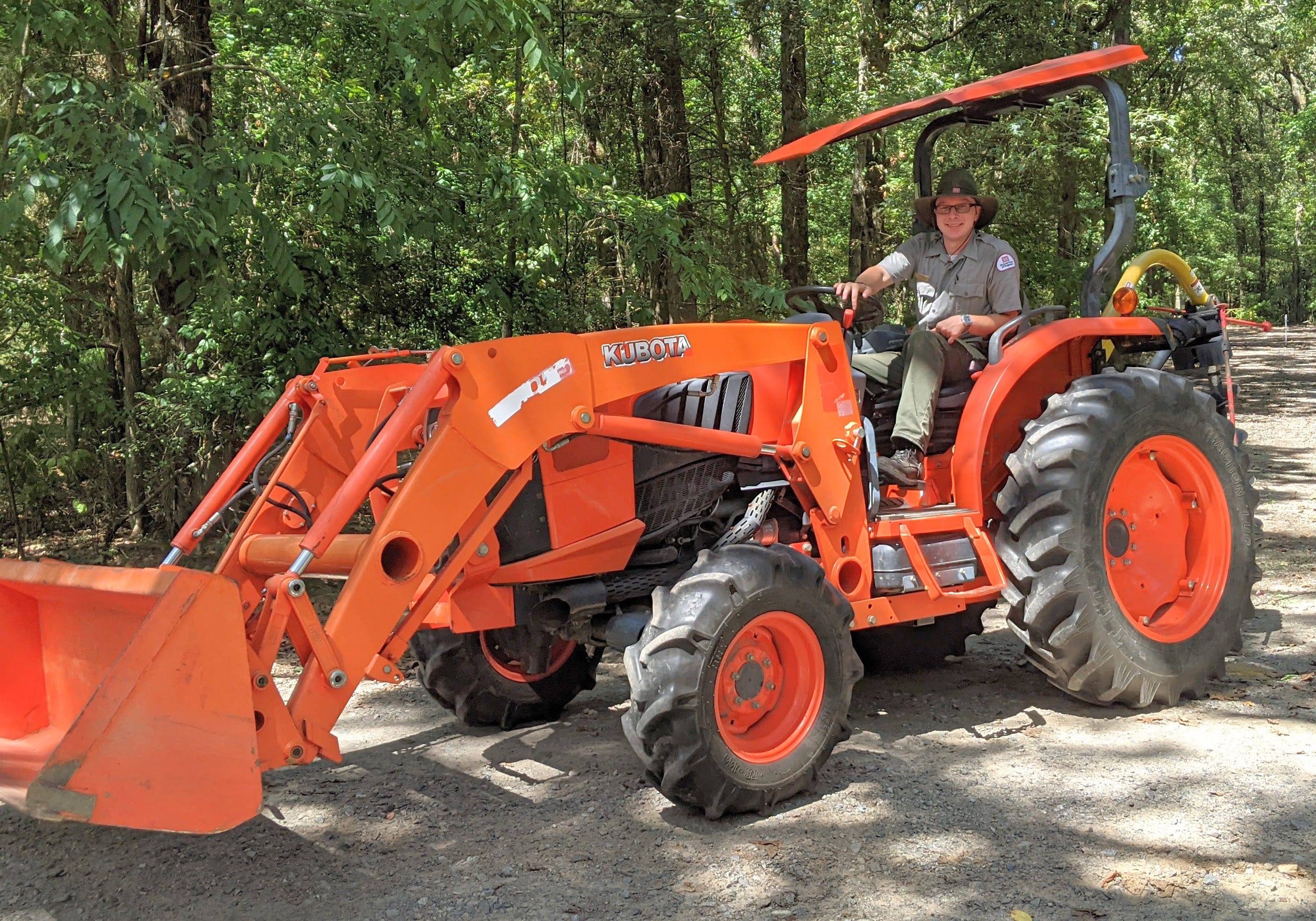
When many locks & dams were put in across the country in the 20th century, they often uprooted local access to river systems. Most obviously in terms of restricting transportation— people could no longer get from point A to point B. But also in terms of changing an ecosystem and thereby a fishing spot, or a boat ramp giving access to the river. As a sort of reconciliation, the Army Corps built recreational services like boat ramps, campgrounds, and day-use picnic areas. And my job as a Park Ranger was to manage those spaces.
I won’t bore you with the minutia of my responsibilities, but every day was different and it’s a job that required me to be extremely flexible. One must be ready to change what they are doing at a moment’s notice if something of higher priority comes along, such as somebody breaking a rule. Often our best plans for the day would change at least 2 or 3 times, and that was just part of life.
Some of my major duties included:
Patrolling parks, campgrounds, and day-use areas. Making sure campers are secure, and rules are being followed.
Responding to maintenance issues. Breaker boxes or water leaks mainly.
Interacting and interpretation with visitors.
Grounds-keeping: installing new signs, removing falling limbs, planting trees.
Updating our website presence @ recreation.gov
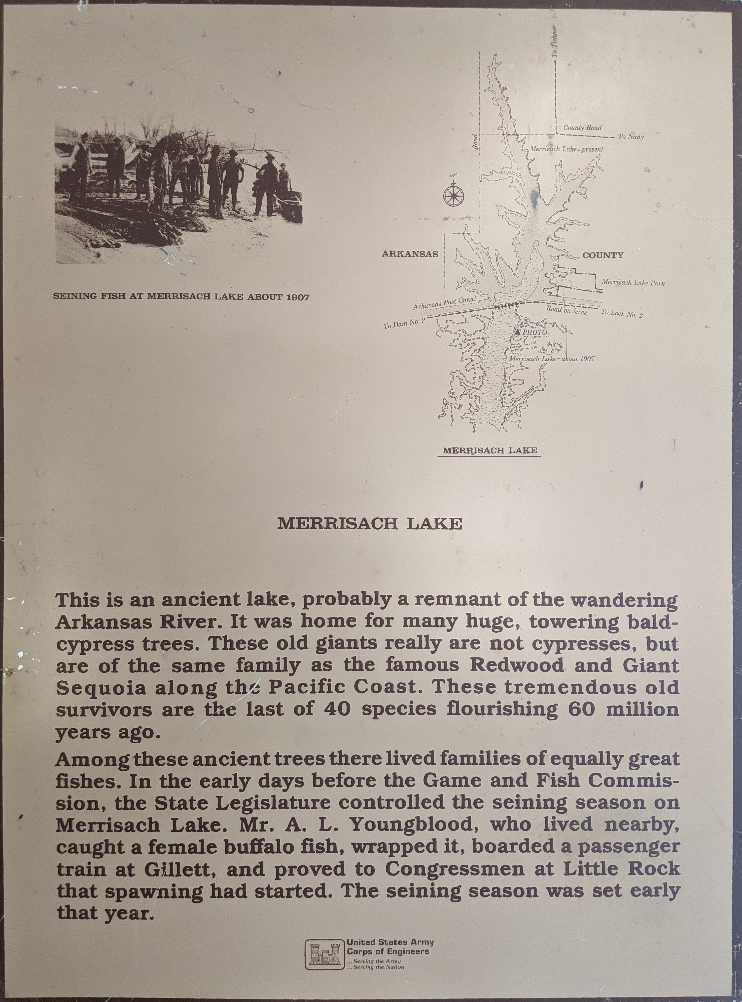
Invasive species surveys on Merrisach Lake and Moore Bayou— Water Hyacinth.
Flora and Fauna
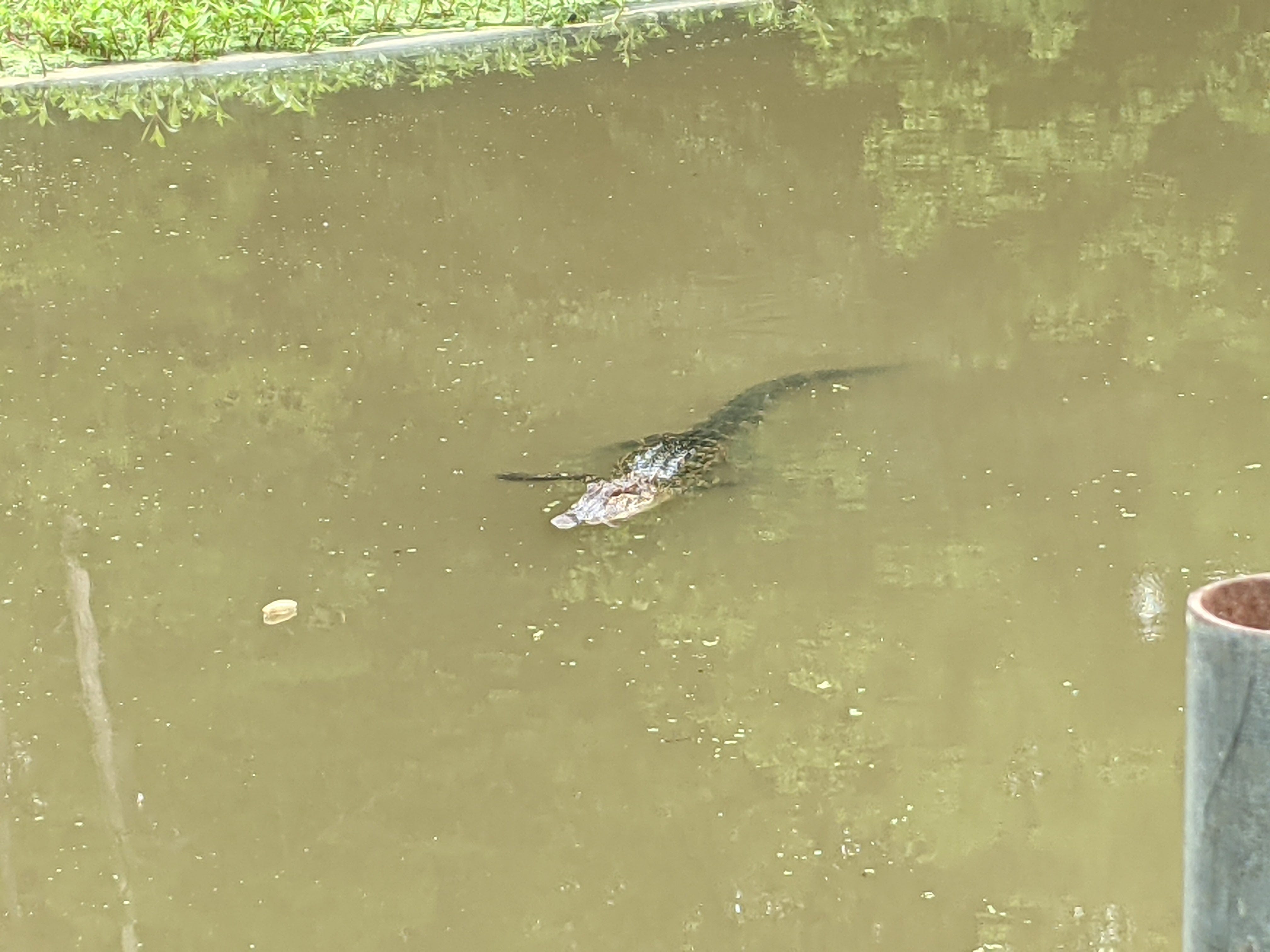
This was my first opportunity to spend any real time in Arkansas, so I tried to get a lay of the land in terms of the plants and animals of the area, many of which were new to me! On my very first day driving to the job a baby alligator—only about 3 feet long—ran out an irrigation ditch across the road. That was a sign of things to come!
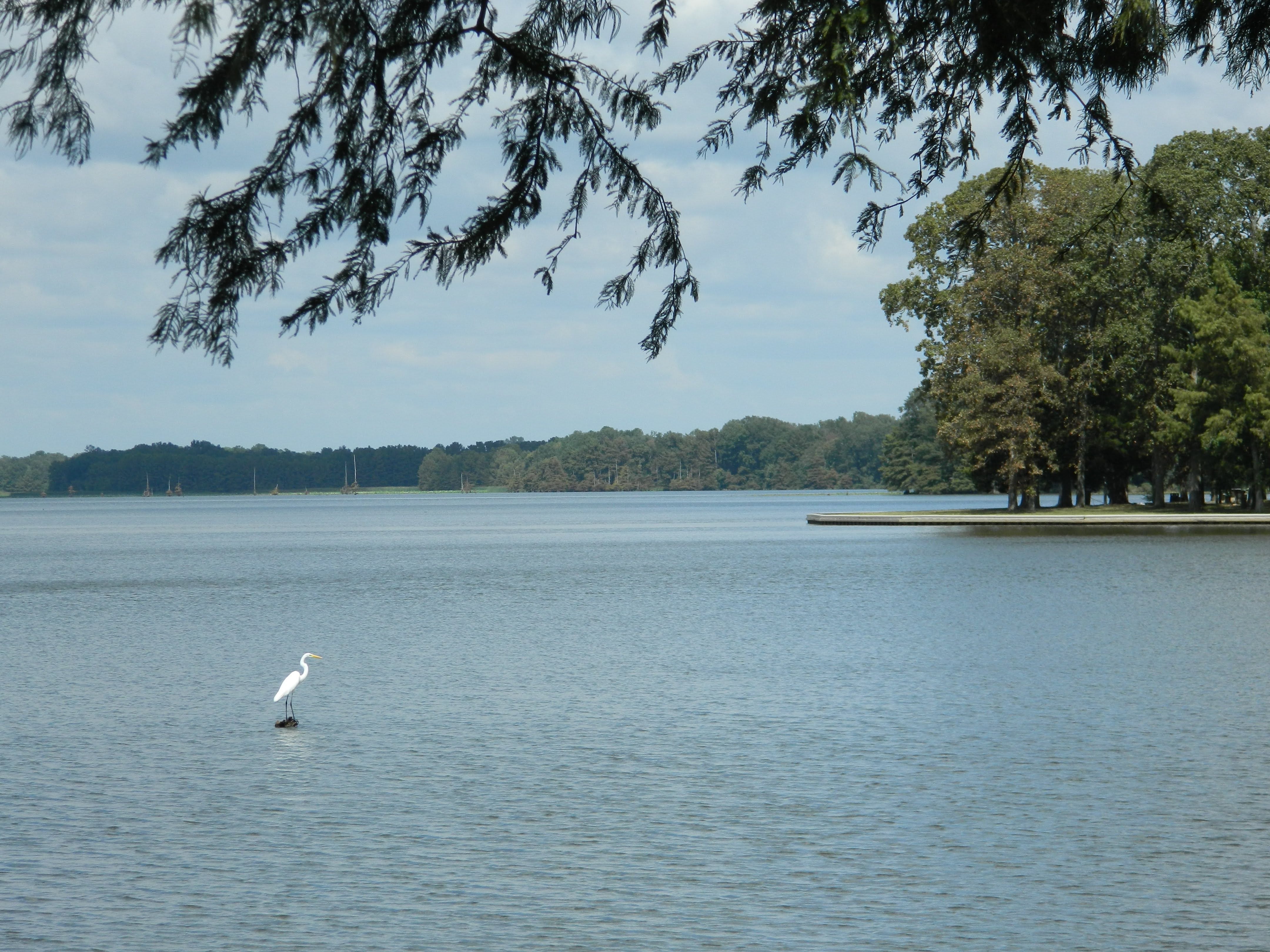
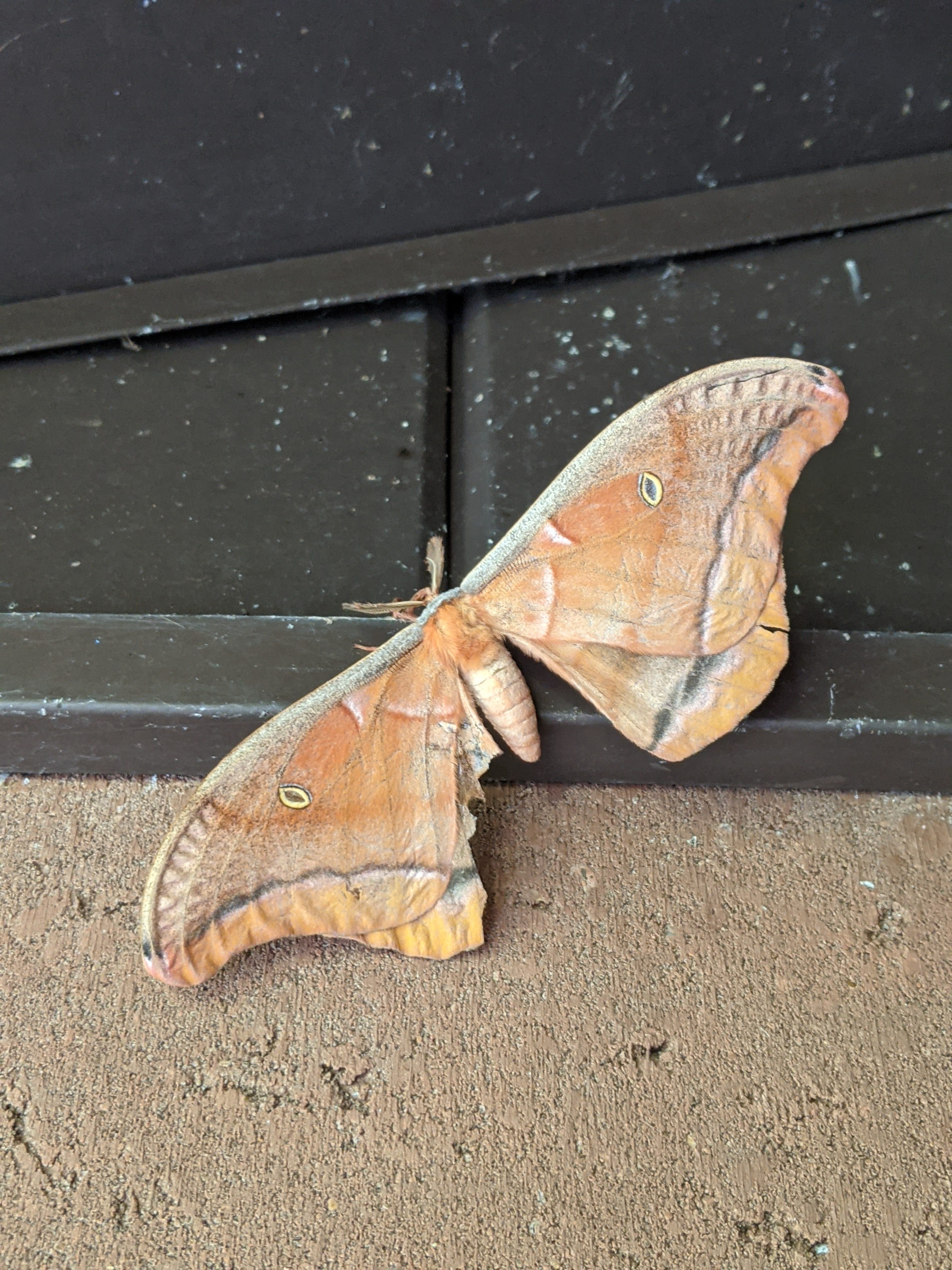
I saw many alligators, birds, and armadillos, insects, and much more. Many of these were firsts for me:


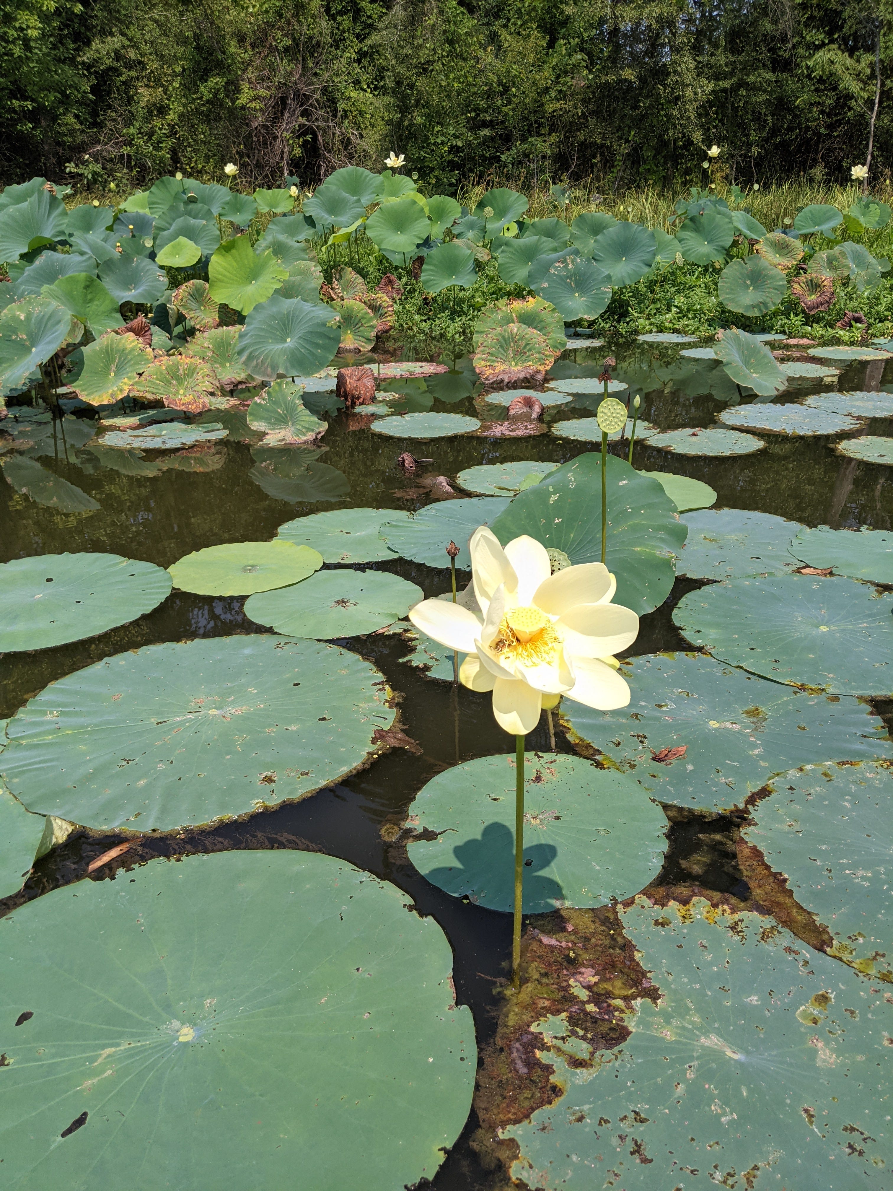
There were also great new southern swampy plants that I became acquainted with. My favourite from the summer was the American Lotus, which has an edible seed. They were all over Merrisach Lake, and great for foraging from July through September!

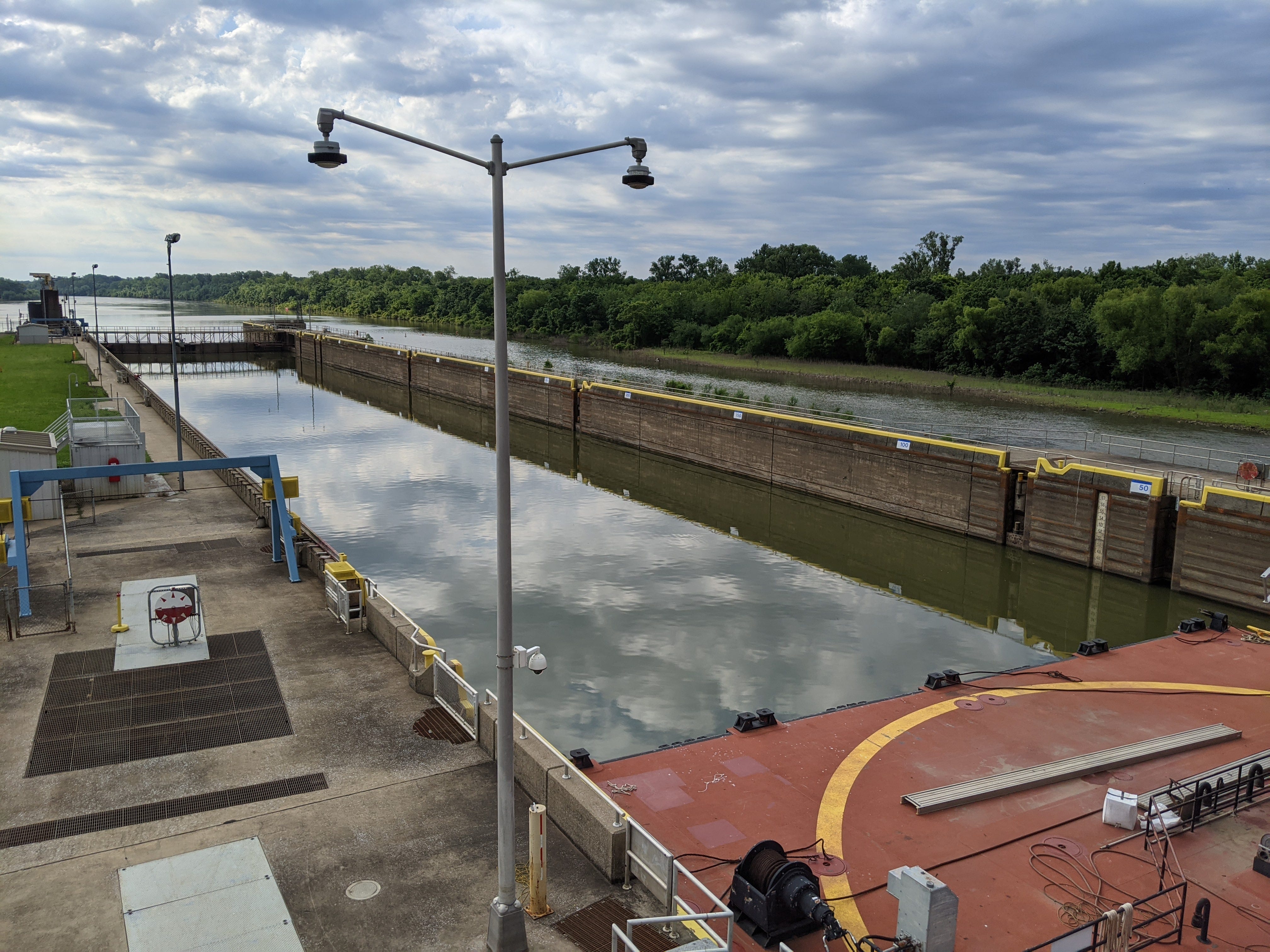
Locks & Dams & CFS
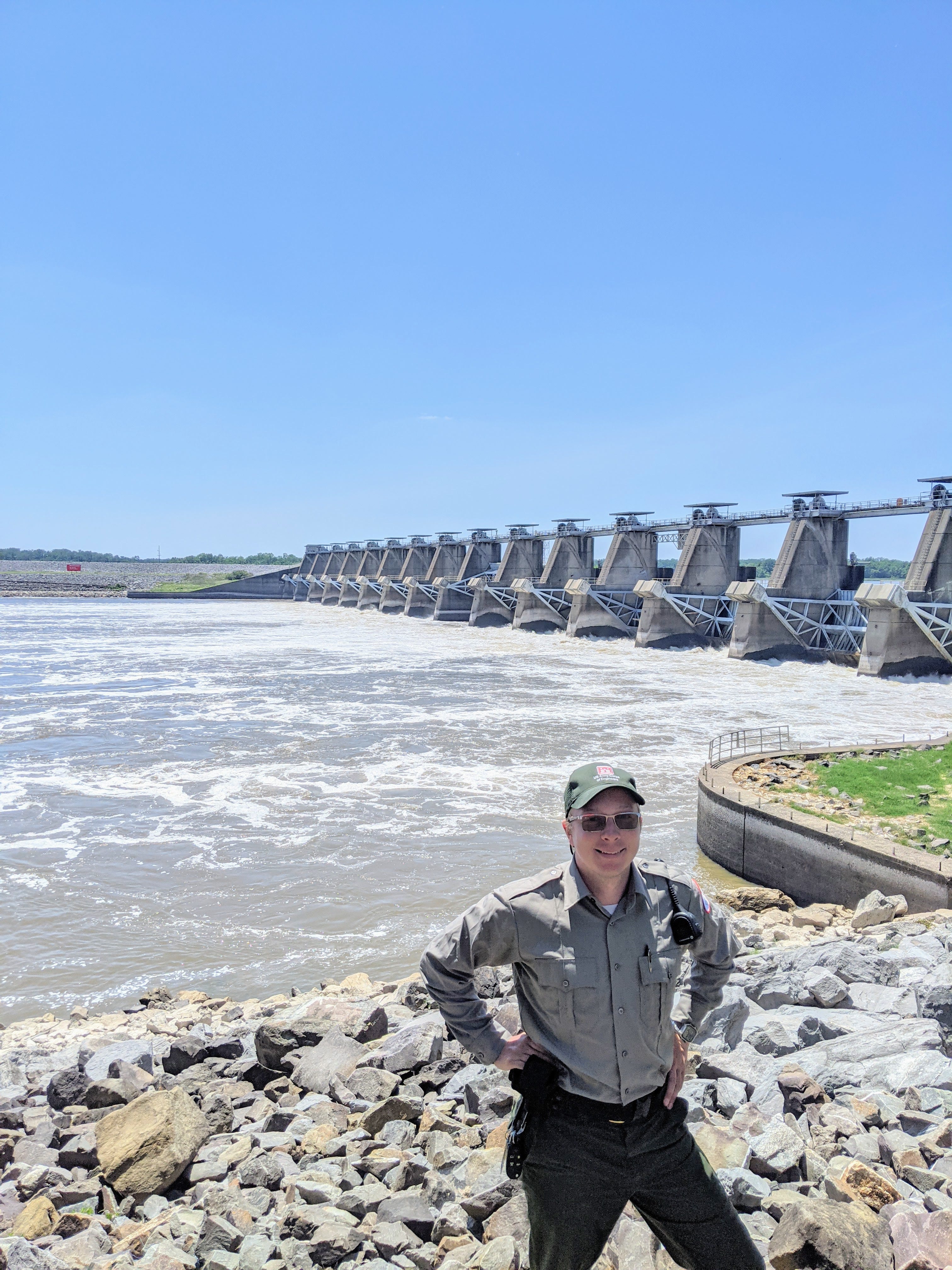
The USACE tracks and publishes its flows through any of its structures on the web and via apps. I was most interested in the flows through Dam #2 of the Arkansas, which is the lowest dam before the Arkansas goes freewheelin’ to the Mississippi. Dam #2 is also known as Wilbur D. Mills Dam. The following screenshots are sourced from this page:
https://www.swl-wc.usace.army.mil/pages/data/tabular/htm/d02.htm
The most common measurement of flow is CFS, or cubic feet per second. It’s a unit of volume/second. Therefore, there are two very important components to determining the CFS of a river: the cross-section of water, and the speed at which the water is flowing. A deep, wide river the flows slowly could have a lower CFS than a very rapidly flowing narrow river. Zooming in on the speed portion of this, the main determining factor of a river’s speed is it's slope, or gradient.
For example, at the time of writing, the tailwater of Dam #2 of the Arkansas, is at 119.8 ft. above sea level, and downstream where it meets the Mississippi is at 113.7 ft. above sea level—a difference of 6.1 vertical feet. Drawn out over the 35 river miles, the Arkansas descends .17 ft/mile (not very steep). Two things could increase the CFS of the Lower Arkansas River then: The Mississippi could drop, or the Arkansas river at Dam #2 could rise. Let’s look at what the USACE was recording for this moment at Dam #2:

You’ll notice the tailwater is at 119.8, and the total CFS is around 5300 most recently.
To give some context on what the Arkansas River is capable of, it regularly goes above 130,000 CFS, and has a tailwater elevation of over 130ft. This means that 130,000 cubic feet could be rushing towards the Mississippi per second from about 10 ft. higher than currently. There are approx 7.5 gallons in a cubic foot, so this would equal 975,000 gallons passing by each second.
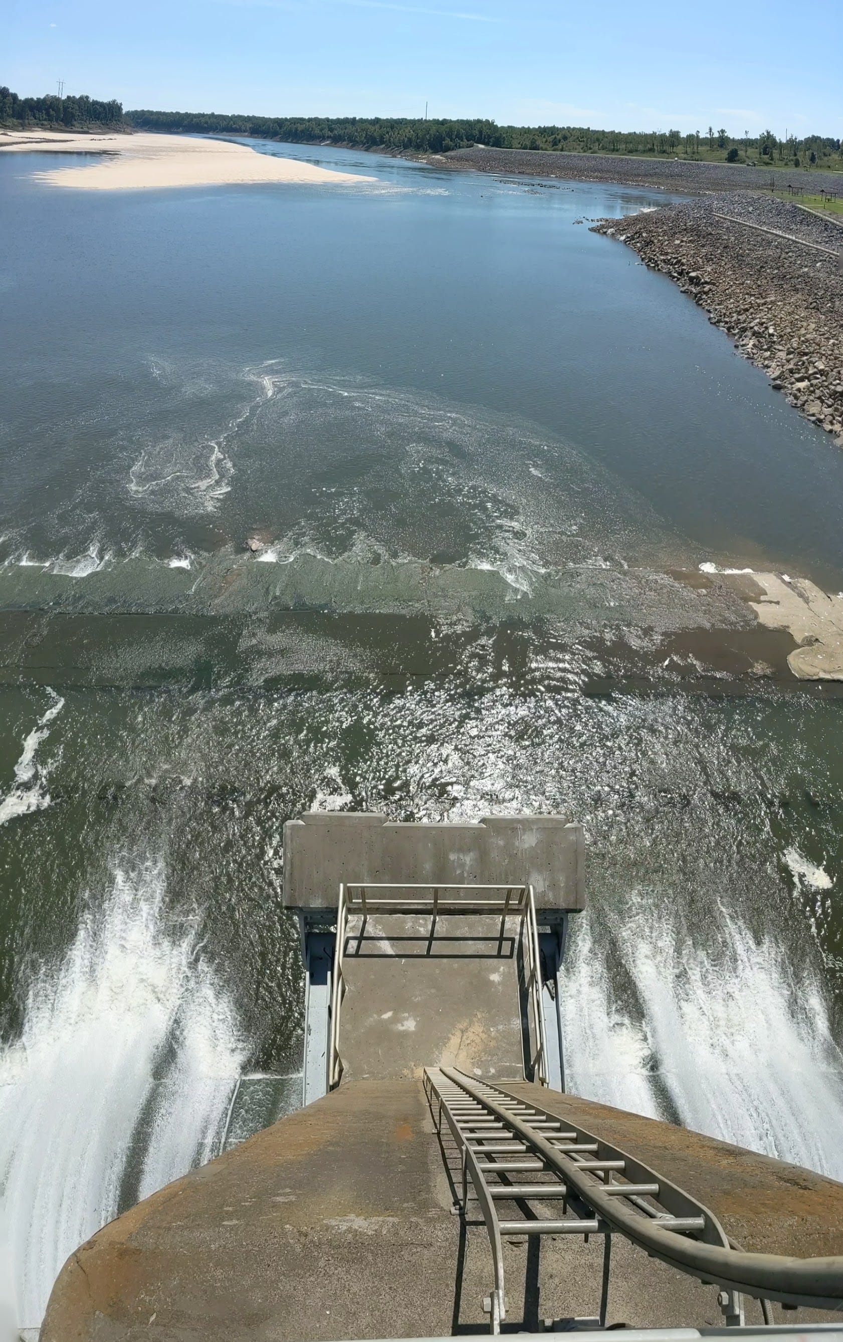
Suffice it to say, that the scene below Dam #2 is vastly different when the dam is releasing and when it’s holding:
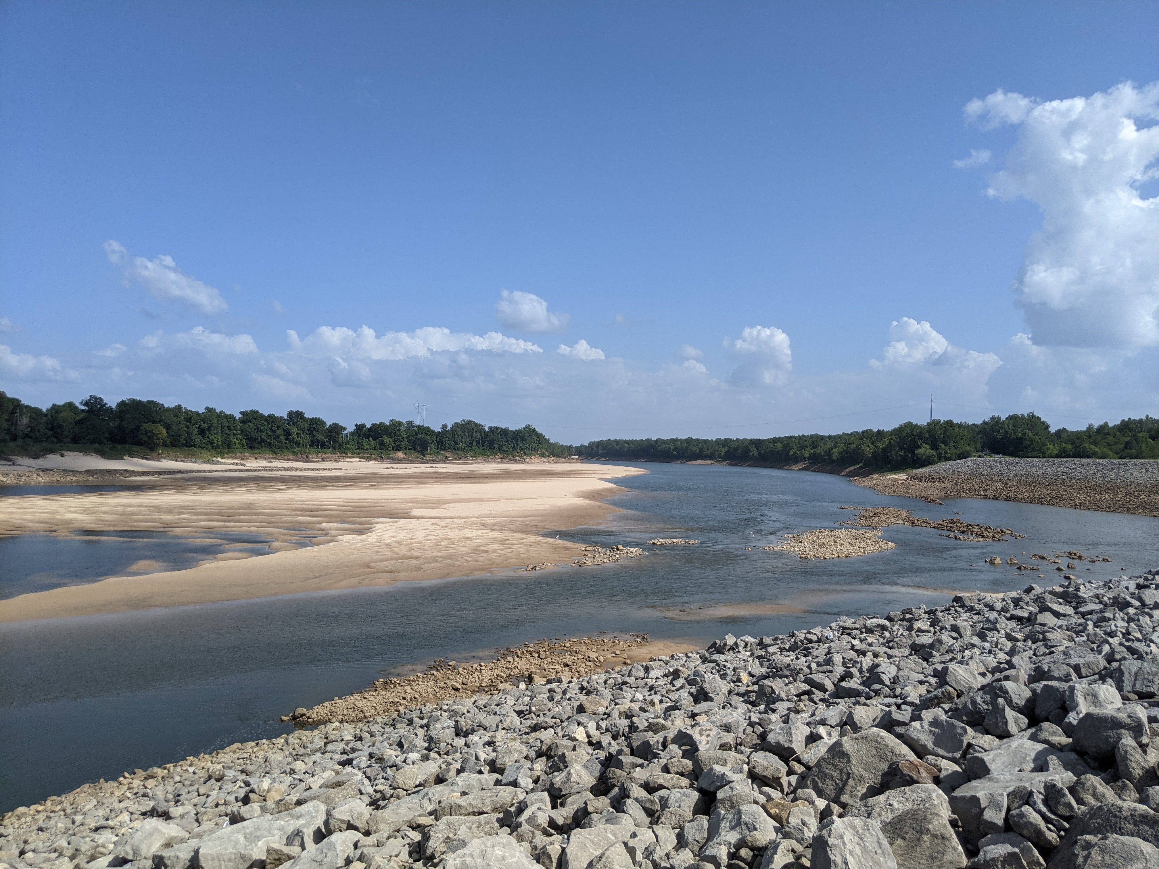
A few more photos for those interested:

Featherstonhaugh Excursion through the Slave States. 137
https://encyclopediaofarkansas.net/entries/transportation-399/
https://encyclopediaofarkansas.net/entries/quapaw-550/
https://www.bia.gov/sites/bia.gov/files/assets/as-ia/raca/pdf/14%20-%20Quapaw%20Tribe.pdf page 2
Robbie (2008). The Transformation of the Southeastern Indians, 1540–1760