Arizona Cycling Trip: Update 2
Arizona Cycling Trip: Update 2
Wittmann to Prescott

Hello friends and family!
Yesterday morning we arrived in Prescott, AZ! This is about 83 miles from Wittman, AZ, the location of our last update. This route was approximately 83 miles,with an elevation increase of ~4500 feet! Here is a map of the route we took: https://goo.gl/maps/rU2dC
Below are our journal entries from these days:
May 24th:
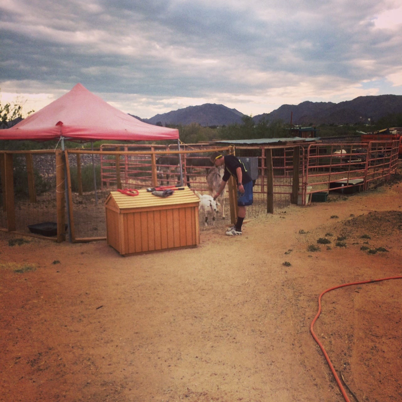
We left Wittmann at 4:00AM this day, and rode north on 60, 93, and 89 towards Congress. In Congress we met Judy and Jerry, who own the Congress Depot, a thrift store, restaurant, petting zoo, and soon-to-be Victorian town! (Photo 3). They were so good to us and let us spend the night with a roof over our heads in one of their cabins. Thanks Judy and Jerry! You guys are awesome!

May 25th:
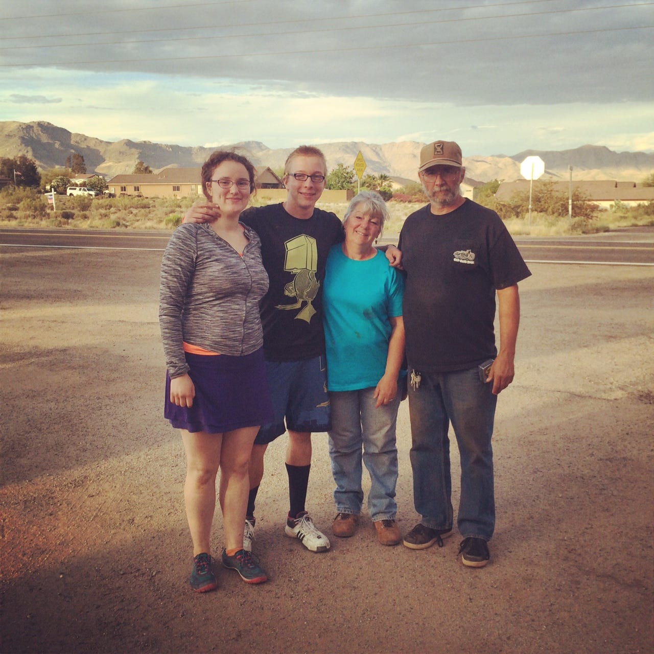
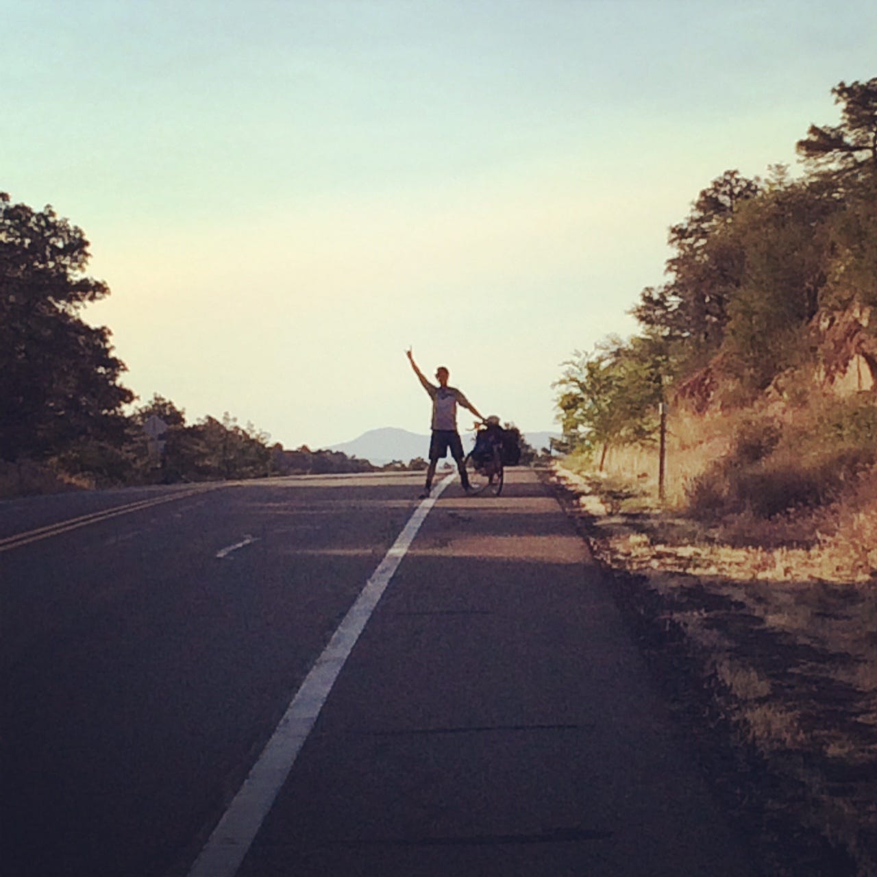
After a few hiccups in the morning (flat tires..), we set off to climb Yarnell hill. A ten mile ride from congress, but with an elevation increase of ~1600 feet, primarily in the last 5 miles! That was a tough ride, our toughest thus far. There is absolutely NO downhill, so coasting for more than a single second is not an option. Pedaling nonstop is the only way. 60-70 pounds packs don't help either... After we had partially recovered in Yarnell, we met Chuck, who graciously let us spend the night in his very own house. Thank you Chuck! (no less awesome)


May 26th:
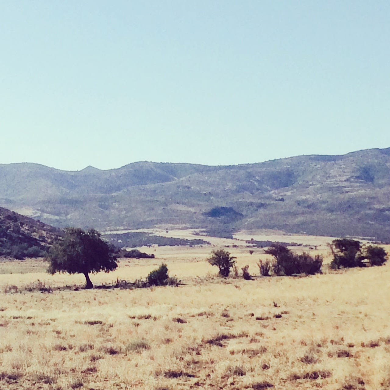
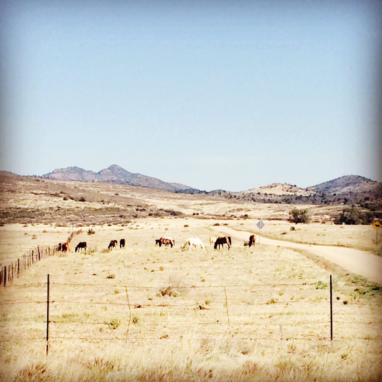
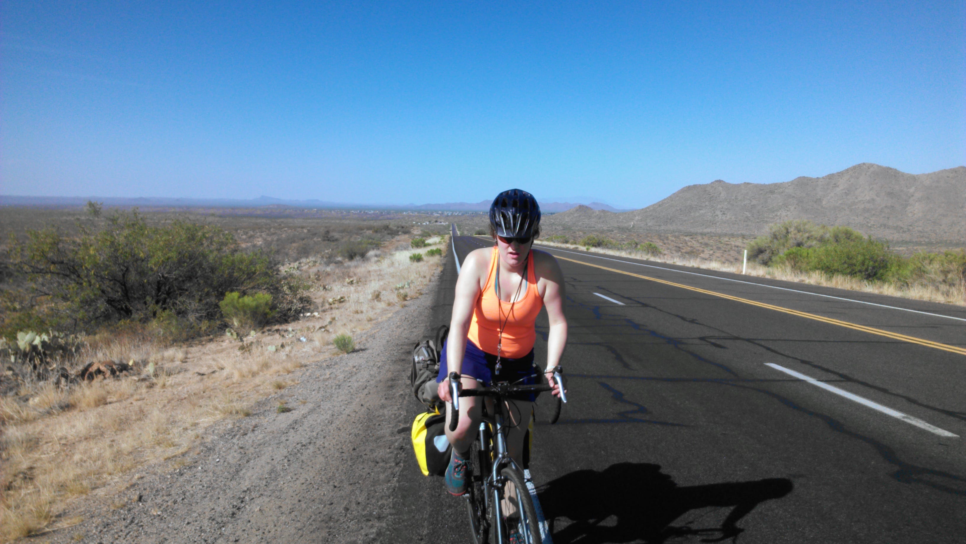
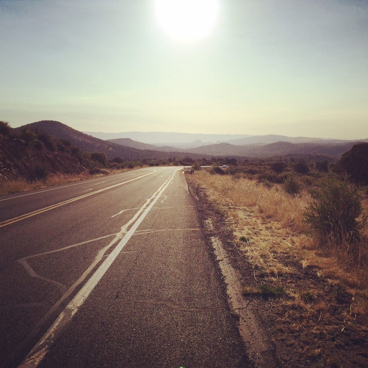
We hit the road towards Skull Valley the next day, and started later than normal-- about 6:00AM, because sleeping on beds was too comfortable to pass up! The path to Skull Valley was mainly downhill, which was bittersweet with the knowledge that we would later have to re-climb every foot descended on our ascent to Prescott. We arrived around 10AM at Skull Valley, and took a break to cool down. From Skull Valley to Prescott was an ascent of around 2000 feet, but more gradual, over the course of ~16 miles. We wanted to eat into the climb today, so we would have a less strenuous day on the 27th. So we biked about 6 miles further, and made camp in the desert.

May 27th:
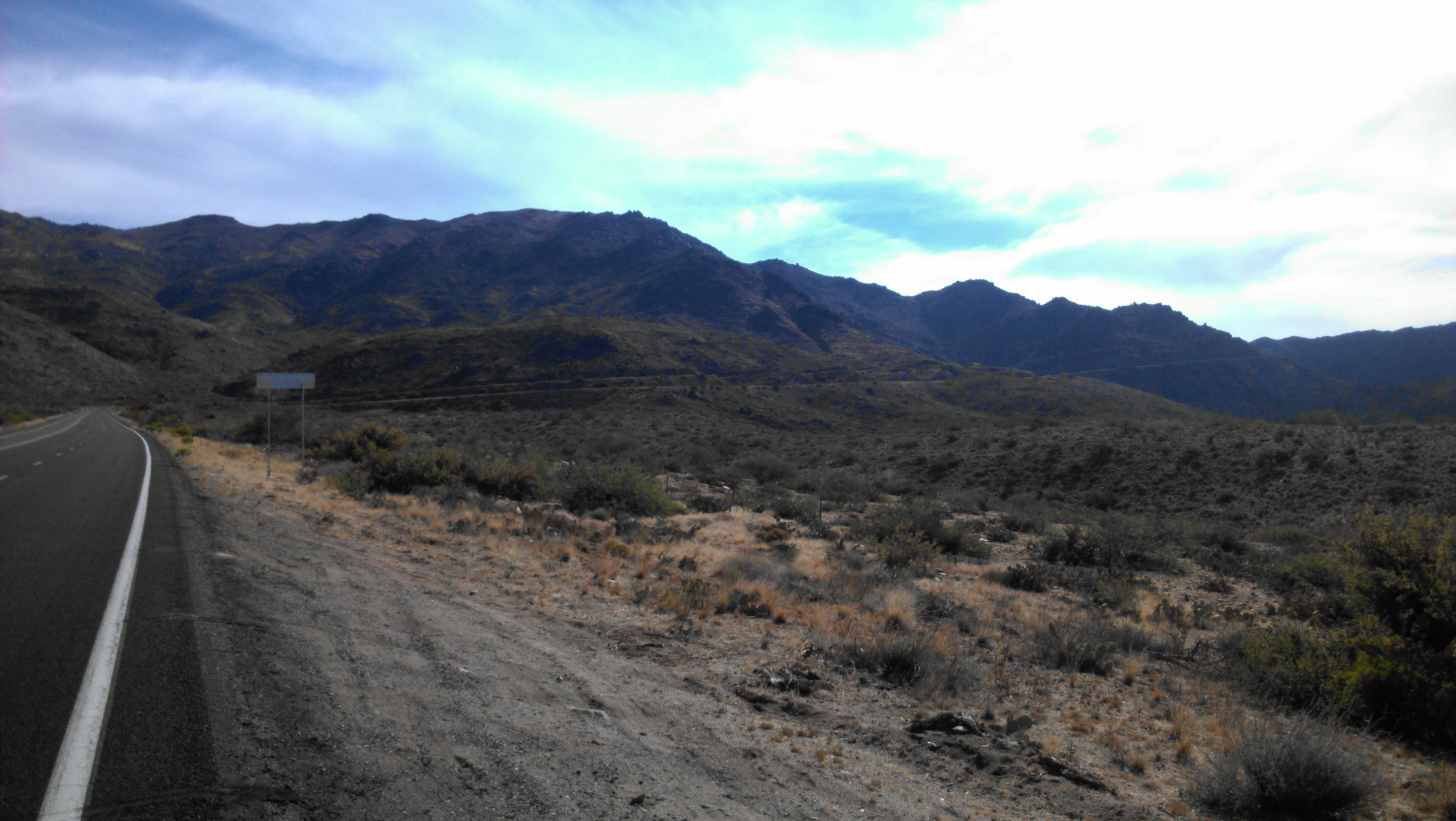
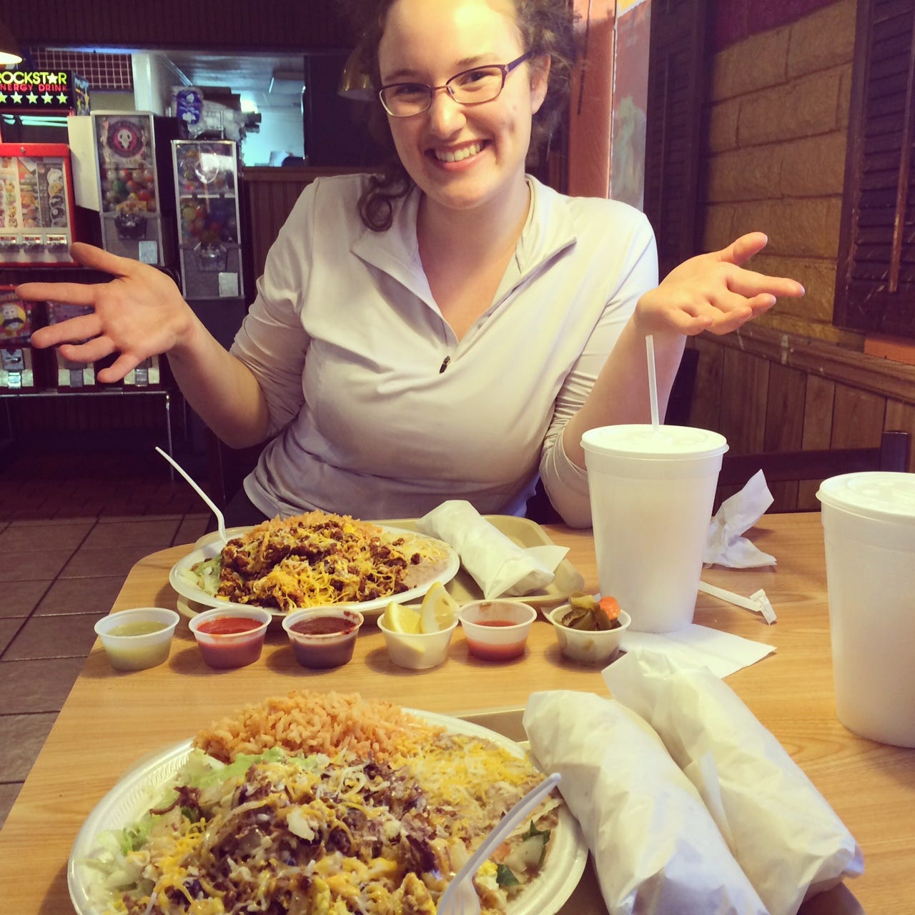
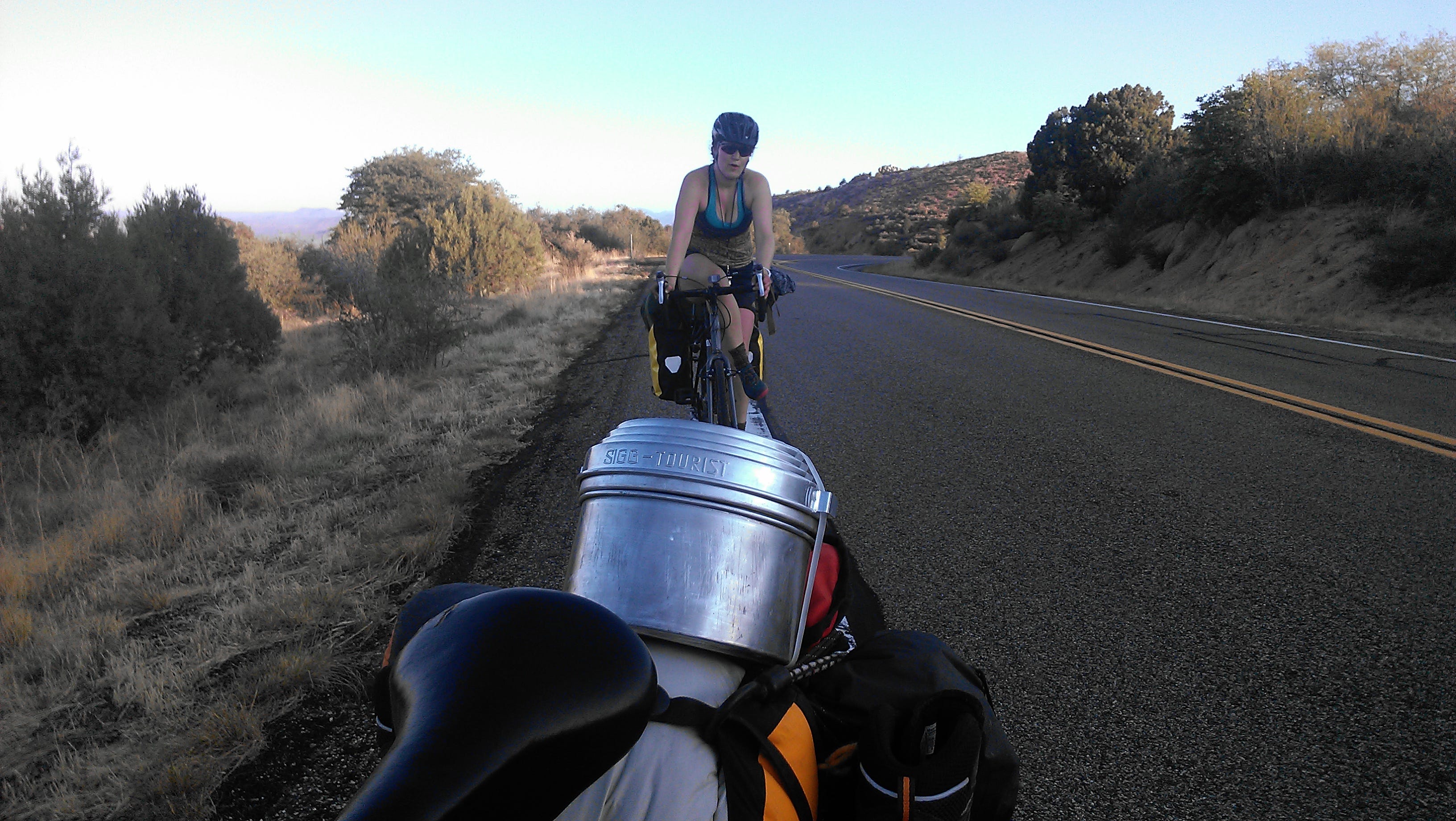
We woke up around 4:30 this day, and were on the road by 5:10. Thankfully the climb to Prescott was not nearly as bad as the climb to Yarnell, and we breezed by it. The highest point of elevation was around 6,200 feet (photo 4), but for some reason there was only an elevation marker at 6,014 feet (photo 9). The descent into Prescott proper was GORGEOUS. No longer were we in a desert, as pine forest surrounded us as far as we could see. We also met our first creek which was not dried up. It was a welcome change for us. We visited Chuck in his shop in Prescott, and settled in to our hostel all before 11am, I would estimate. We napped, consolidated our gear and reorganized, then went out to eat some delicious Mexican food, and revitalizing horchata of course. (photo 10)

Today (28th) is our rest day in Prescott, but we found we couldn't sleep deeply past about 5am, even though we tried. We have been relaxing and restocking our travel items all day.
Tomorrow we ride ~29 miles to Paulden, then 40 the next day to Williams. Then to the grand canyon from there, in either 1 or 2 days-- it depends how we feel. We will update y'all then!
Take care friends,
Aoife + Stephen (Fueled by Horchata)
Some more photos from this section: