


Day 12 - Blustery River Bends & Solange’s Departure

Day 12: Jacobson Camp → Lee Ferry Camp
Date: July 20th, 2022
URM 1140 → URM 1111
Distance today: 29 Miles
River Time: 9.5 hrs
New day, new map. You can follow along with landmarks here now: https://files.dnr.state.mn.us/maps/canoe_routes/mississippi4.pdf
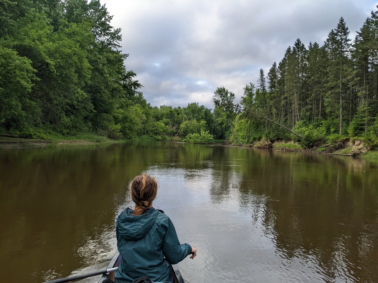
Solange and I got an early morning start, and were on the water by 6:30 a.m. Early that morning we met River Angel Ann Ogg, who was very kind in providing Solange a ride back to Grand Rapids where her car was waiting for her. We caught up with Ann and said our goodbyes. After, I paddled along downstream solo.
Today was different, not so much in scenery or size, but in weather conditions. A strong wind from the west meant that about half of my day was spent very pleasantly drifting downstream and downwind, while the other half was spent battling a headwind. This of course was due to the extreme meander profile of the River today. It was truly was a tale of two extremes.
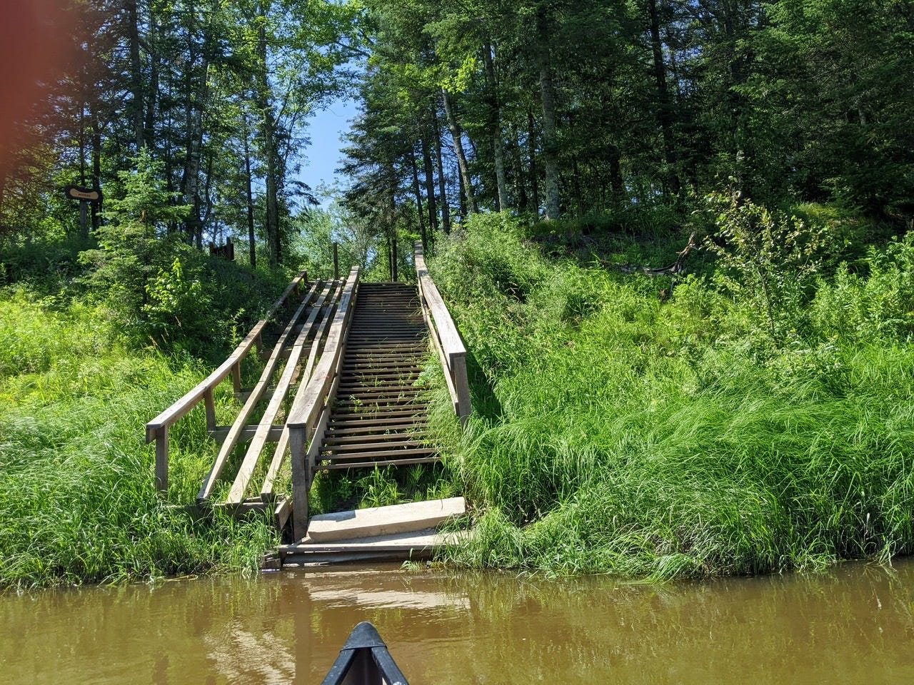
I battled the gales until lunch at Verdon Camp. There is a very intricate boat ramp and staircase built on a very steep riverbank. Certainly the most unique access of the upper Mississippi so far!
In the afternoon, I passed by the first substantial island I have witnessed on the Mississippi thus far. Sure, there have been muddy patches of cattails and wild rice in the middle prior to this, but this was the first legitimate island that had solid ground and trees growing on it. I think I’ll call it Island #1.
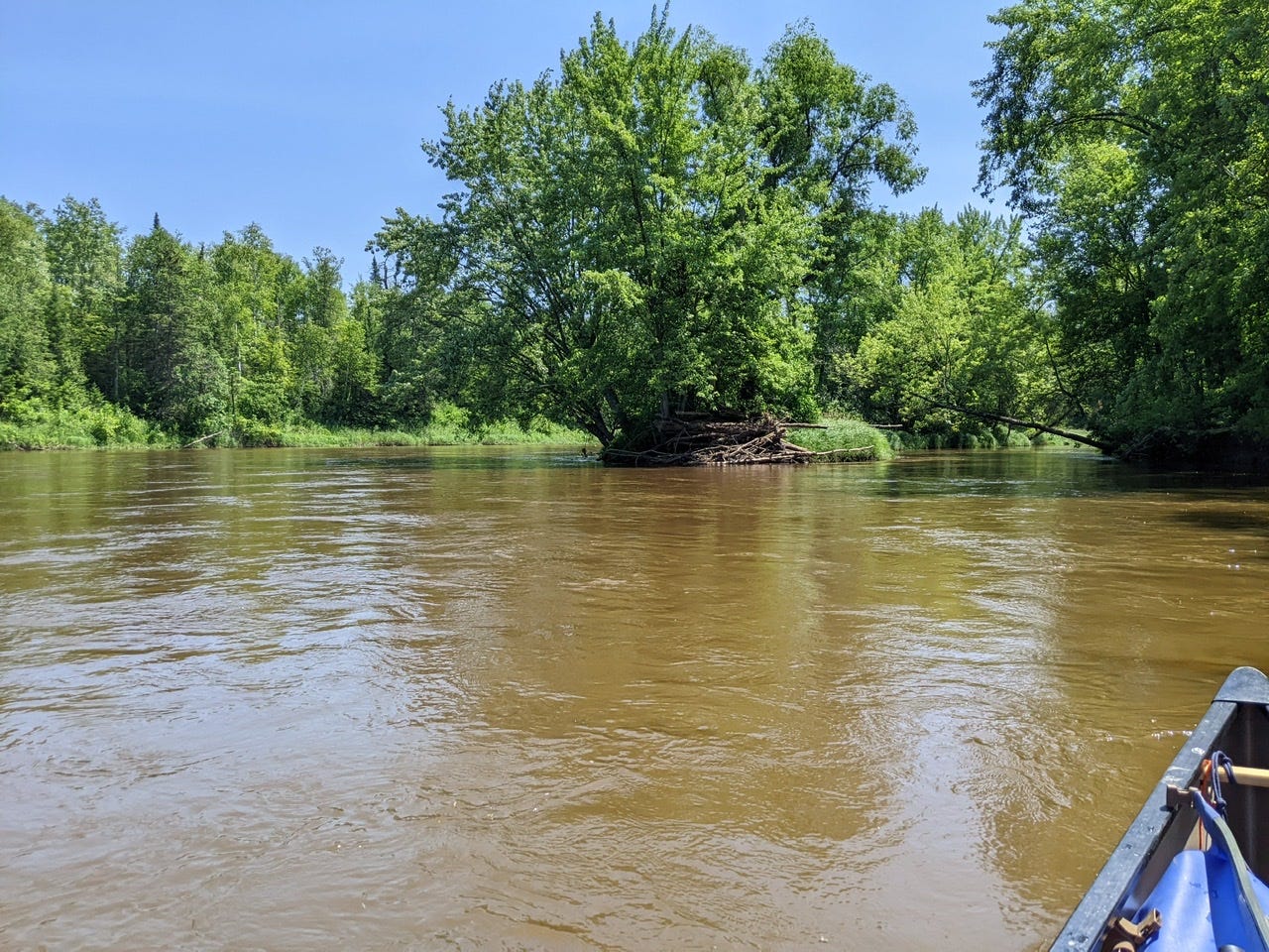
I, of course, took the backchannel! It’s more interesting and lively back there, typically, and for more practical reasons it was more sheltered from the wind!
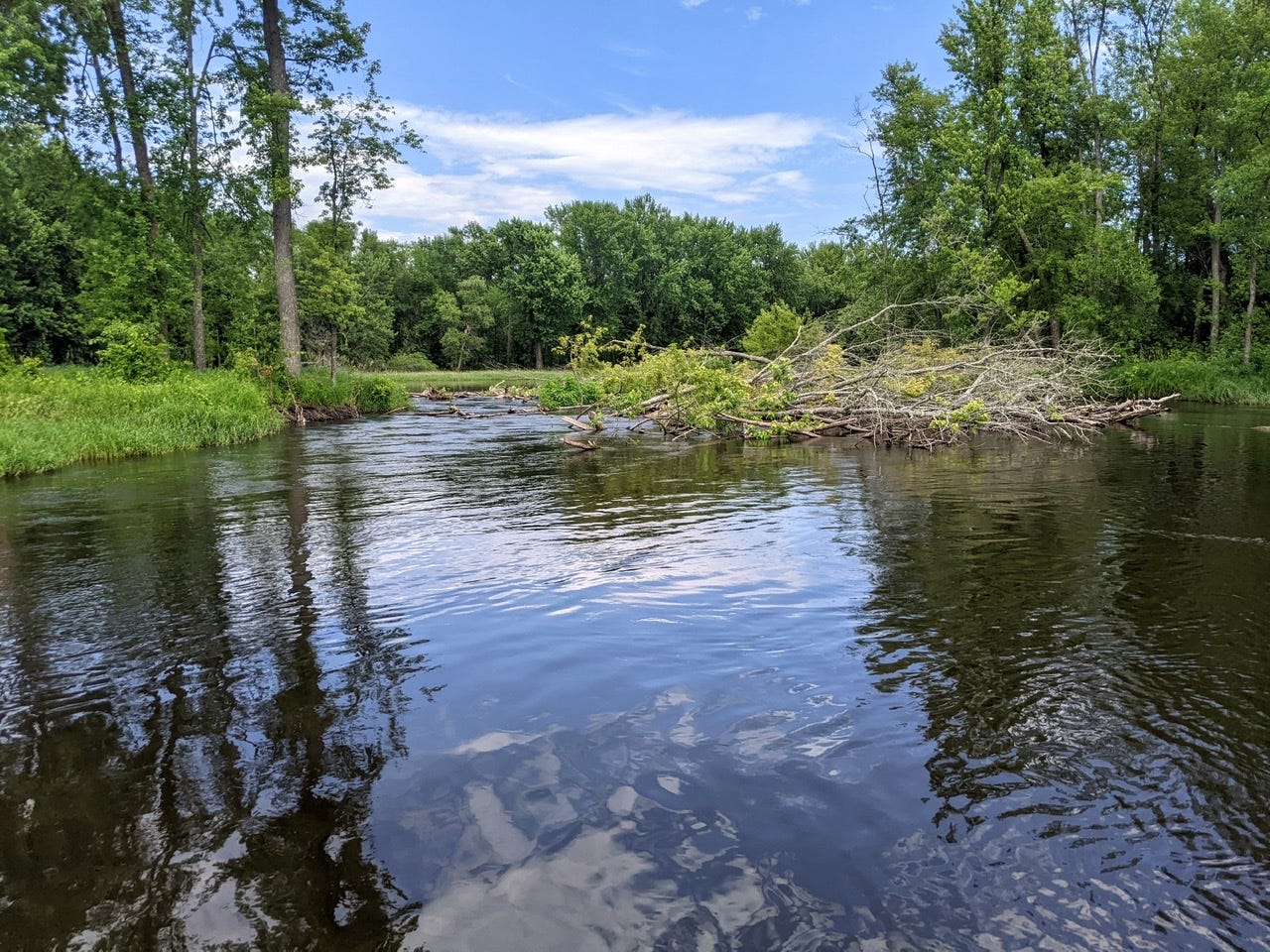
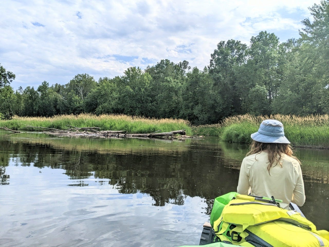
In addition, the sandbars today have been steadily growing larger. And the willows seem to be taking a more prominent place on the inside of bends:
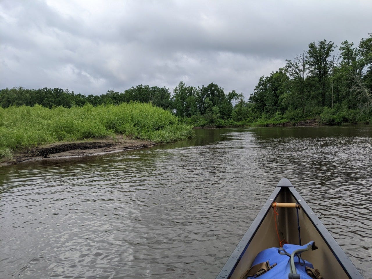
It was a long day, so I’m going to cook dinner and get some much needed rest! Here are a few more photos from the day:
Oxbows
Erosion leads to oxbow lake formation, and we have seen a few instances where the River is in the process of making cut-offs. And of course we’ve been seeing the oxbow lakes which have already been formed. There’s many a time when I can stand up in the canoe, and see the water we’re paddling on go straight ahead, but to my left or right there is another channel across a thin strip of land. This is where we’ll be paddling in 10-20 minutes’ time. Every once in a great while we’ll see a small channel darting its way through and crossing this strip of land. This is the formation of an oxbow.
Waters do their work slowly, but consistently. Eventually, maybe in the next couple years, maybe in the next 10, these will be the main channels of the River, and the old channels will become swampy oxbow lakes. It’s very interesting to see the dynamic processes of a River that is alive at work.
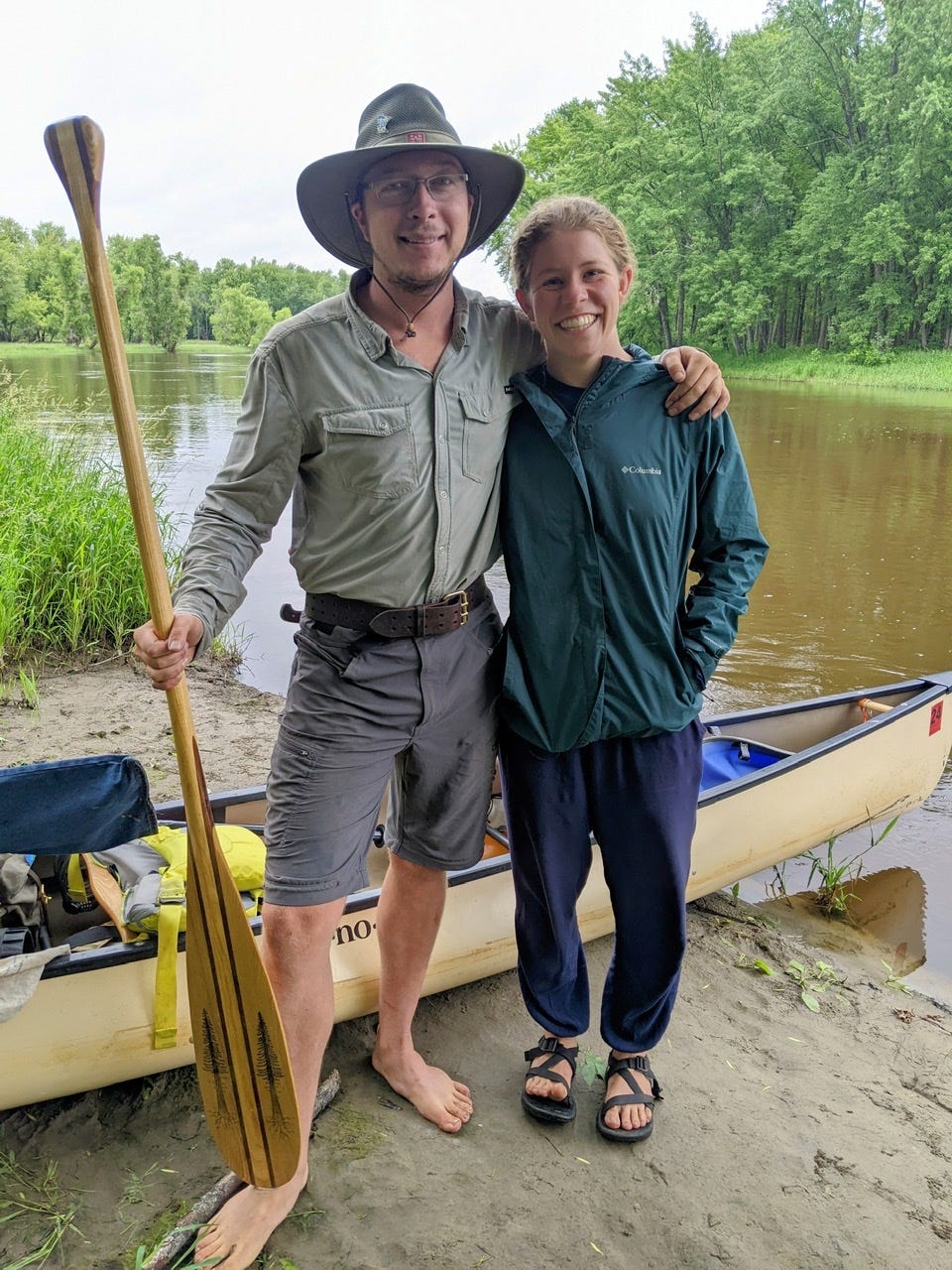
A Farewell to Solange
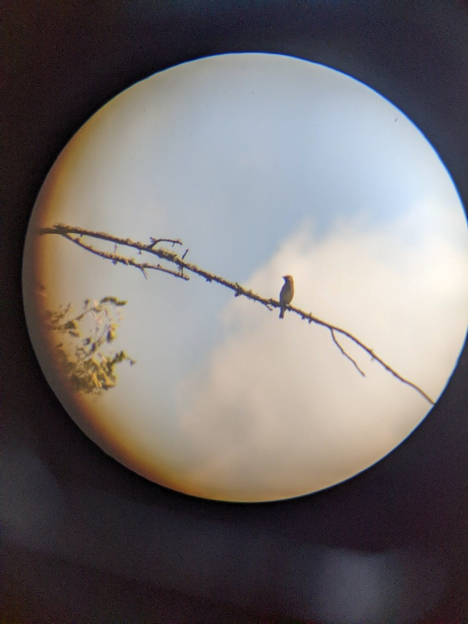
Today was a bittersweet day as I said my goodbyes to Solange! She has joined me in paddling for the last 3 days and it’s been a great time. Solange is a passionate birdwatcher and would call out birds on our route that were too small and insignificant to even register with me. It was nice to have my senses expanded in this way.
It’s fun to paddle the Mississippi solo, of course, but it’s nice to have companions on the River as well. The rhythm of life with two on an expedition is very different from being solo. There are things I like about both experiences, so I’m glad to have occasions to do both!
Solange: Thank you for joining me! I appreciate your spirit, and thoroughly enjoyed our time paddling together!
I’ll leave you all with a favorite Solange quote which shined through during our time together:
“Today is one of those days where the canoeing muscles are connected to the smiling muscles!”
I tend to agree!
River Log Day 12
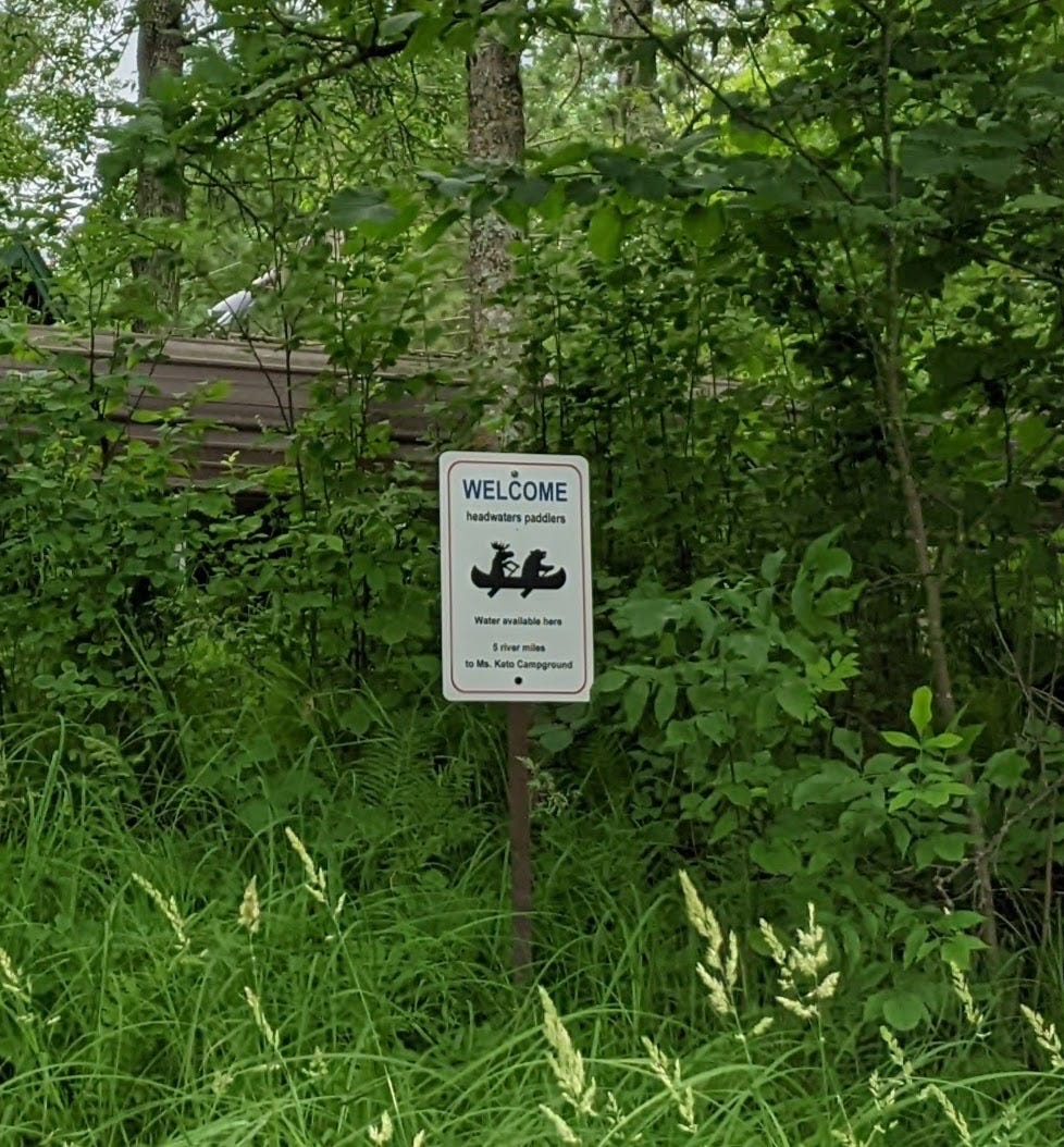
1140 - Jacobson Camp: Very nice fee campsite on high bluff. Phenomenal drinking water from an artesian well that’s always running. Even if you don’t stay the night, stop by for a water refill.
1122.2 - Ms. Keto Camp: Overgrown site with marshy landing. Incorrectly placed on my 2019 paper map, should be more around 1121.8. In any case, the better site nearby is Verdon.
1121 - Verdon Camp: Odd access, as there is a staircase and boat hauler that go all the way down a steep embankment directly to the water. Maneuvering the boat is a bit challenging, but nice once you get it on the lift. Paddlers with delicate boats should think twice about using this site, as boats will scrape going up the boat lift. Or just tie up boats in the current.
1120: First true island I have seen on the Mississippi. One with solid ground to stand on. Could make a decent primitive camp, simply for the novelty of saying you’ve camped on the first true island on the Mississippi.
1111 - Lee Ferry Landing: Primitive campsite. Wooden stairs down to water.
I guess this may catch you to late. But Ray & I wanted to let you know there is an encampment just north of Palisade near to where the Line 3 pipeline crosses under the MS. There are 3 pipeline crossings of Mississippi River in MN, one at LaSalle, one at Palisade, & the 3rd I don't know where. You might know it by the 1/2 mile clear cut made for construction all along the line. 😳
Everything you're showing us of this trip is so beautiful. May the wind be at your back!
I like the smiling muscles connected to the canoeing muscles! Whoo-whoop JC & Solange!