


Day 26 - A River Transformed

Day 26: Hidden Falls Landing → Lock & Dam #2
Date: August 3rd, 2022
URM 847 → URM 815
Distance today: 32 Miles
River Time: 9.5 hrs
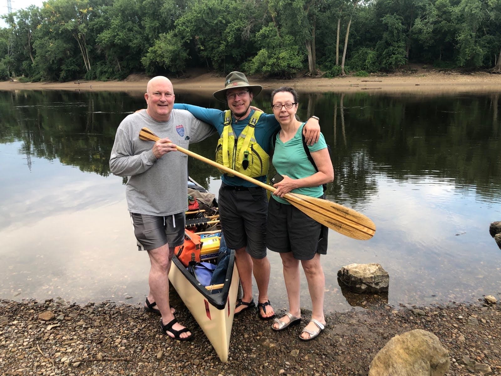
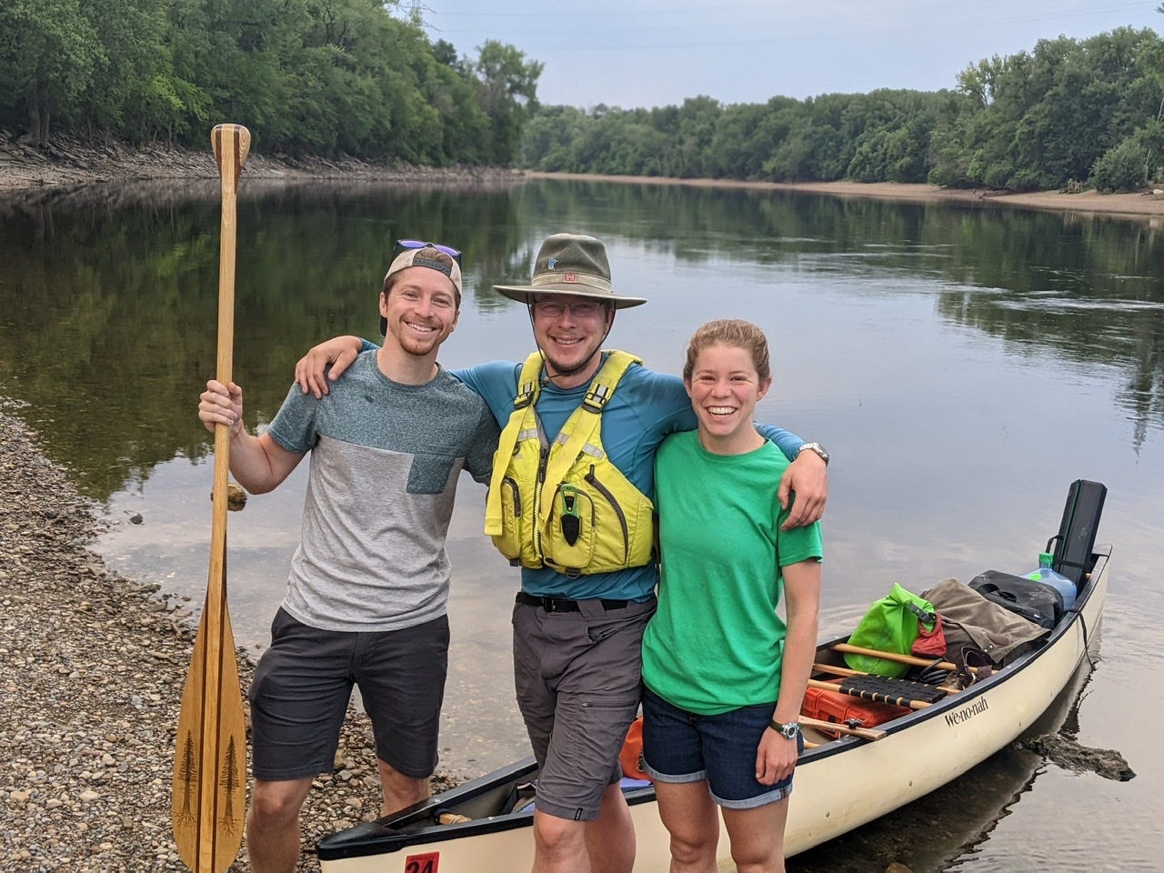
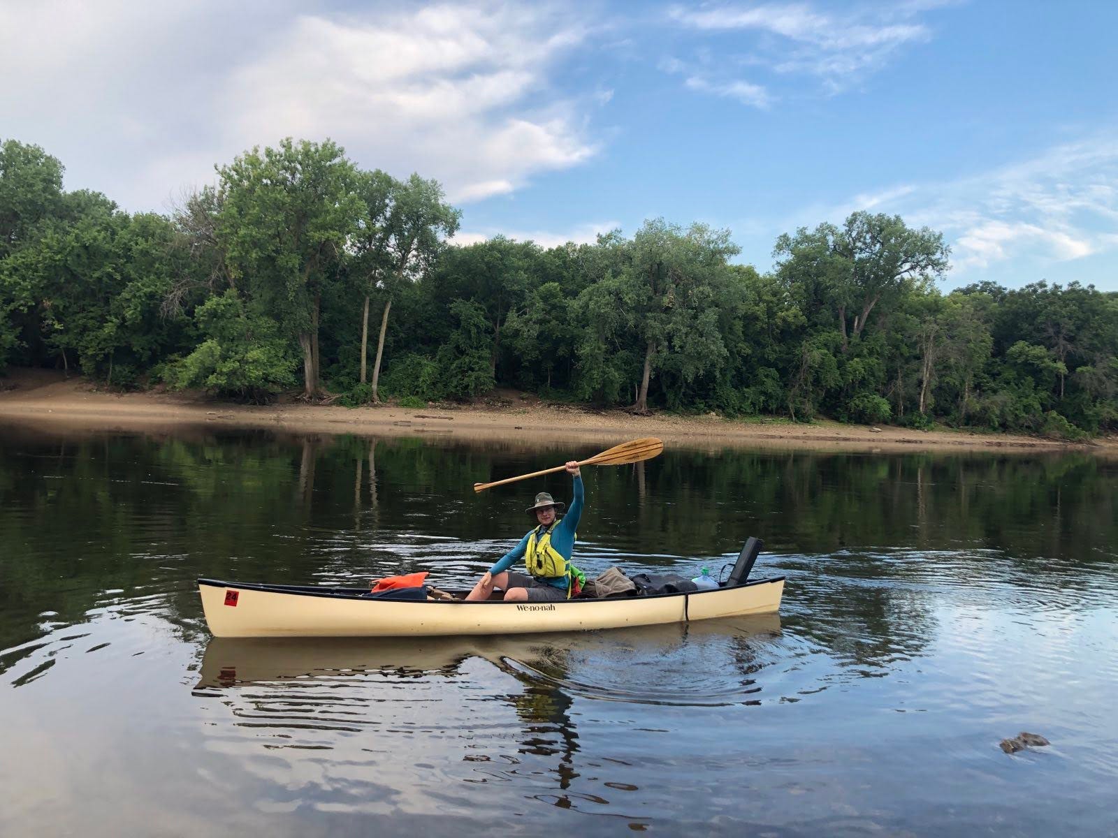
Today I woke up before the sun was up in order to get on the River before the heat and before the strong winds. There were large amounts of anticipation for me as I loaded my canoe and set off back into the Mighty Mississippi. A few family and friends came to see me off at this very early hour and I appreciate you all! It may be a solo trip, but I sure couldn’t do it without the support of these people and others like them!
Minnesota River Confluence
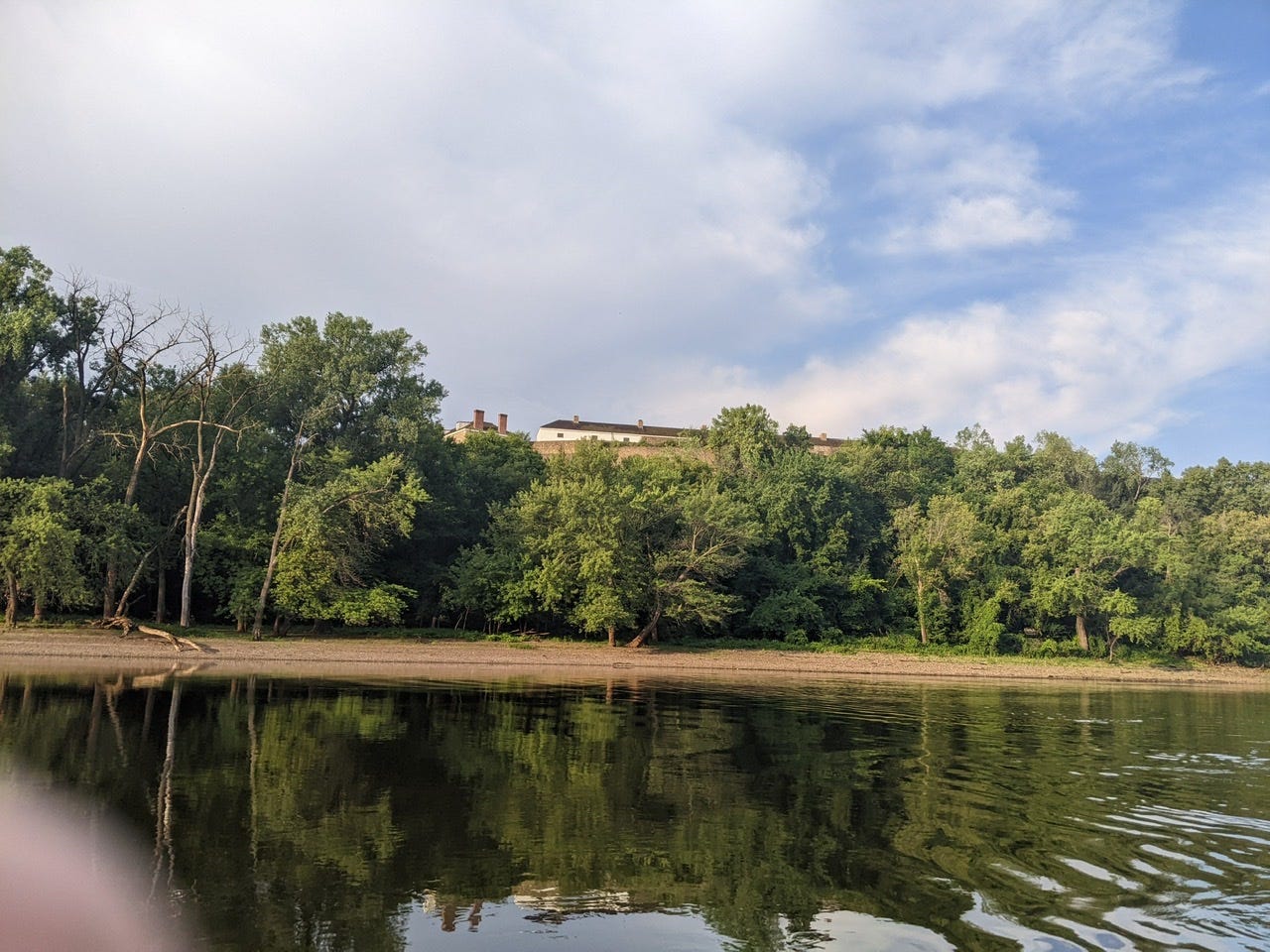
My first major milestone was only a few minutes into the day when I arrived at the confluence of the Minnesota River, which flows out of south-central Minnesota. The confluence of these two large rivers is where Fort Snelling was built in order to command the two major waterways and to have a height advantage from the bluffs upon which it sits.
Unfortunately, the Minnesota River also contains large amounts of fertilizer runoff, so I will definitely be staying away from drinking this water.
A River Transformed - Barges, Towboats, and Industry
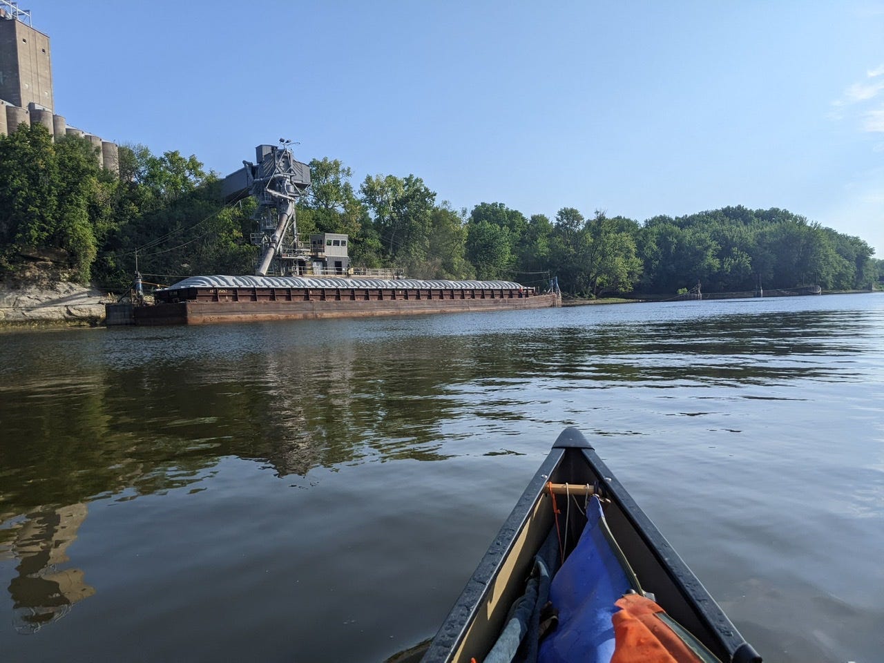
Very soon after this point, the complexion of the River changed drastically. I saw my first barge container, my first towboat, and finally, shortly thereafter, the first towboat pushing barges.
There was a flurry of activity as I entered into the Port of Saint Paul. Obviously the city itself was going to work by this time, but there was much activity on the River as well. Barge containers were being loaded and unloaded, deckhands were working to secure loads and coordinate pickup of the containers, construction workers were working on shore and on bridges.
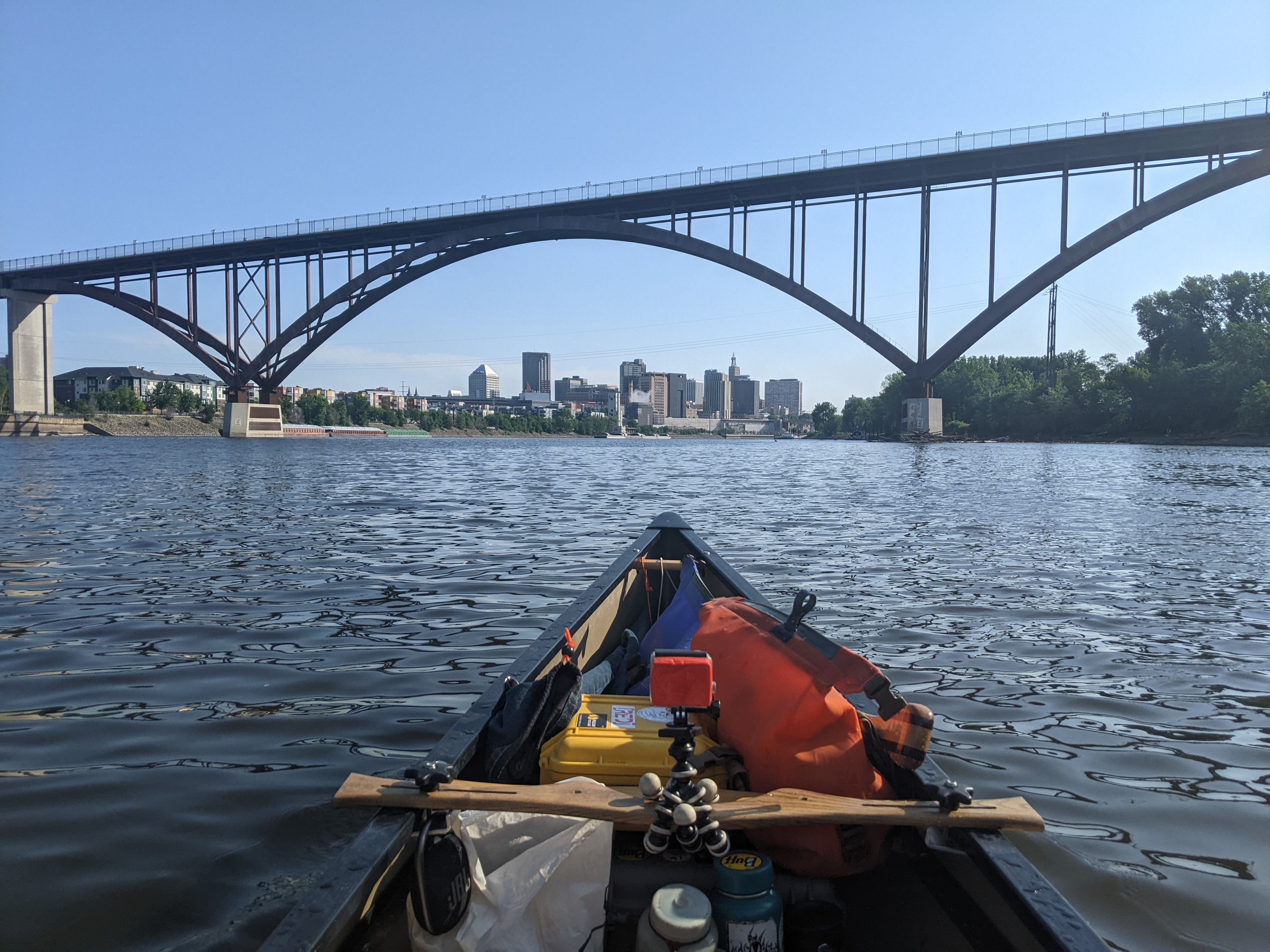
There was this heavy activity for probably 5-6 miles as I floated through the heart of downtown, as well as the harbor attached to the airport. After that, the hustle-bustle quieted down and there were only anchored barges and containers. I passed the mouth of Pig’s Eye Lake, where many barges go to load or unload.
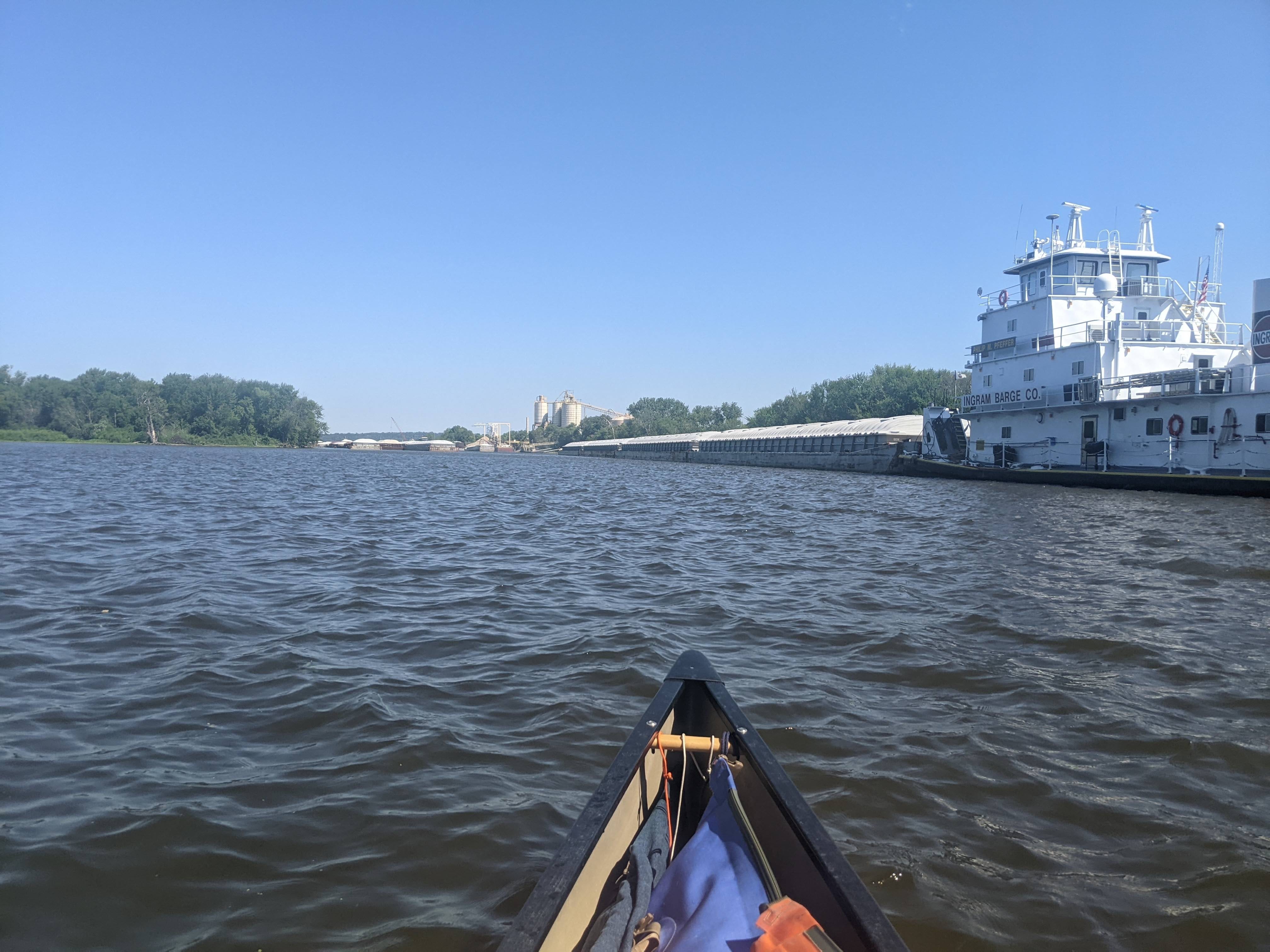
As I passed Pig’s Eye, the River lost its din of activity, and became more akin to a country road. Any tows I saw out here away from the port were in motion, en route to a destination. There were not tows passing me every minute, more like once every hour or two. Accompanying them was the hum of a motor, but not the clanging of loading and unloading. Once we passed each other, they left me a large wake to contend with. But after the waves cooled off, and the hum receded into the distance, the River was mine once more. I am going to have to learn to share the road a lot more going forward.
Grey Cloud Island Back Channel
I opted to take the backchannel of Grey Cloud Island to escape the heat and escape the big waters of the main channel. This backchannel made me feel like I was on day 8 of this trip again. It was nice to be in a narrow channel again that only canoes and other small boats could navigate.

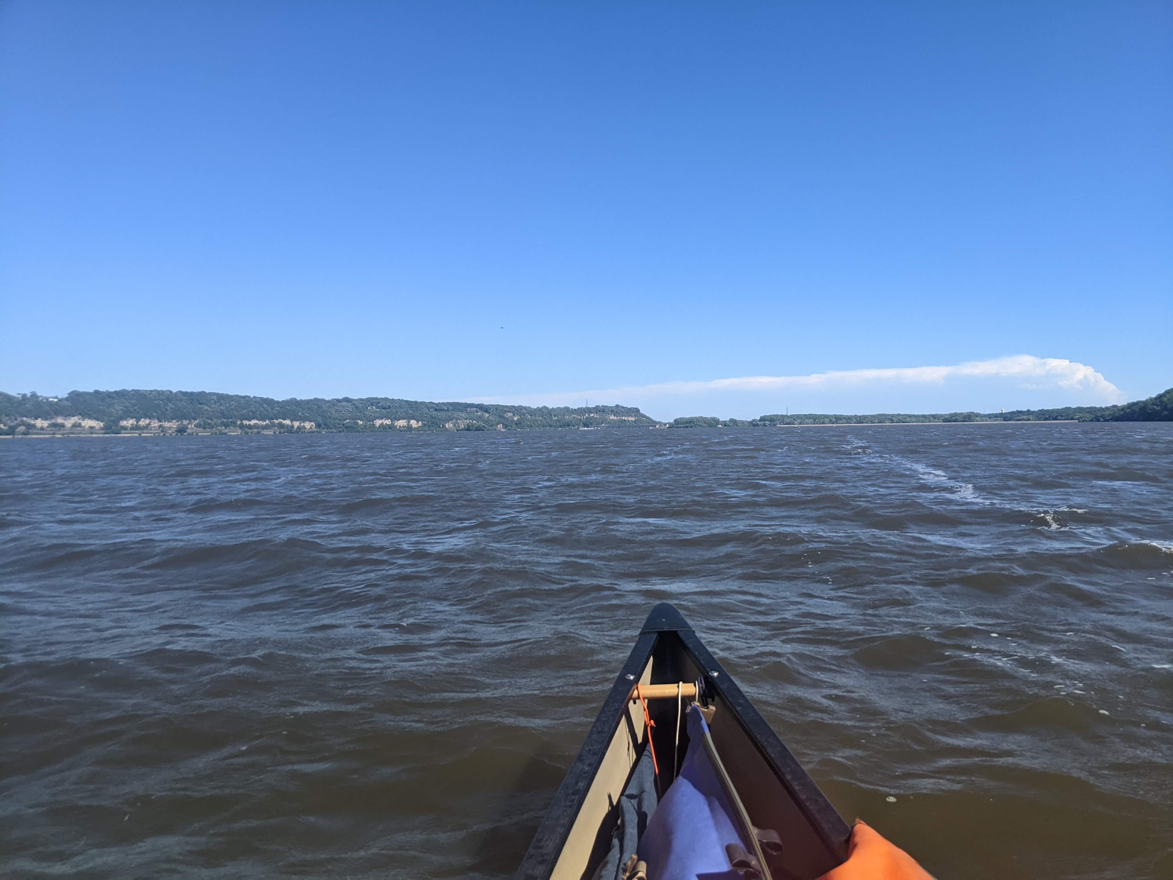
I aimed to make my camp on Grey Cloud Island, or another in its archipelago, however there was no suitable land to do so. There were no sandbars to speak of, only high reeds and mucky banks. So I was forced to carry on, and since there were no other options for camping in Pool #2, I had to make my way across the pool and to Lock & Dam #2. I was hoping the camping would be better downstream of the dam.
Pool #2
The dams on the Upper Mississippi River change the River a lot. Each dam creates a vast lake upstream of it, and these are known as pools. Dam #2 creates Pool #2, etc. The effect is that this portion of the River is essentially transformed into a series of slow-moving lakes. The River is much wider than it naturally would be, and hence flows more slowly. The areas where there is typically the best flow is immediately following dams, where the River is most narrow and closest to its natural width. Take a look at the following map of Lock & Dam #2. Just after the dam, Lake Rebecca Park (in green) separates the dead-end Lake Rebecca on the left and the continued Mississippi River on the right:
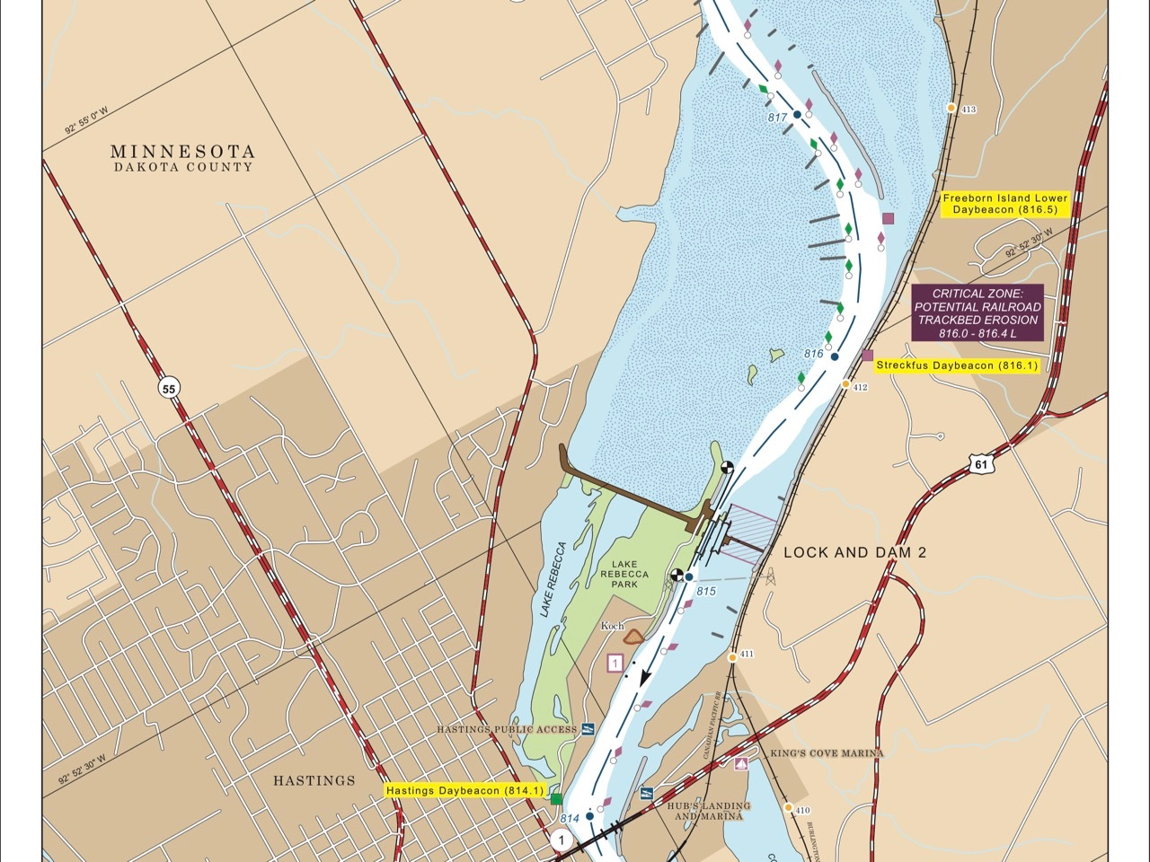
Pools like this mean big and open water, and that means bigger winds. Today when I crossed the pool, the wind was whipping, but luckily it was at my back. Big winds on the pools is going to be a new normal I predict.
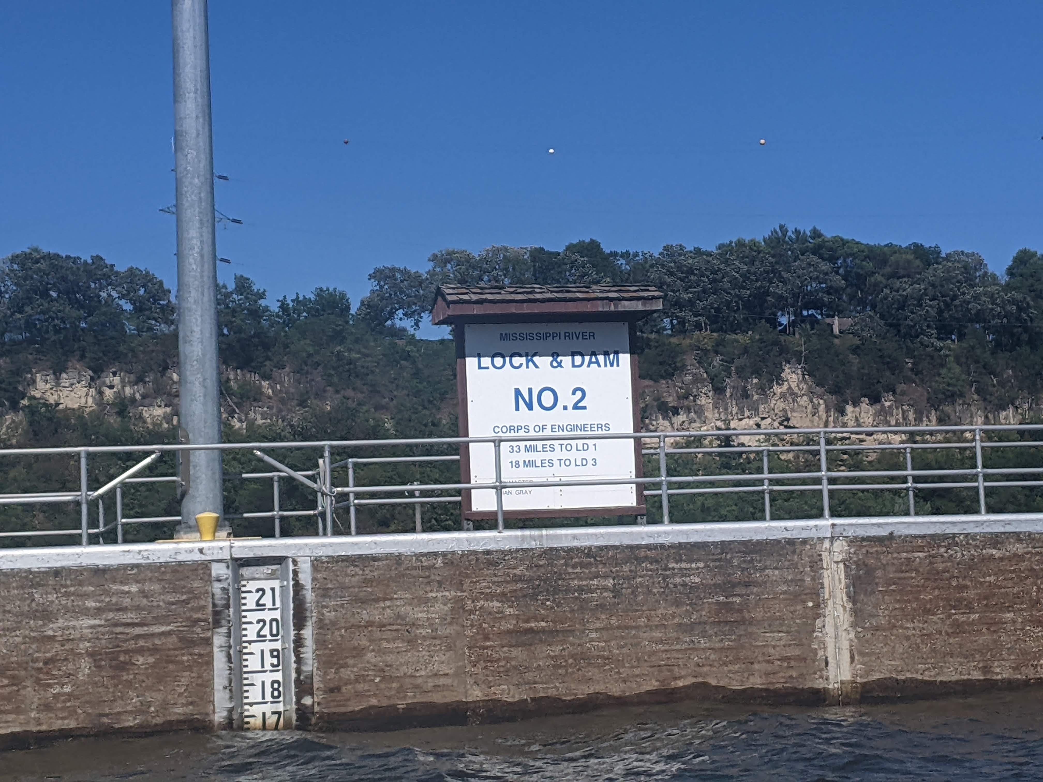
Lock & Dam #2
I locked through Lock #2 without a hitch. This marks the second time that I radioed in beforehand and they said they’d have the lock ready for me when I arrived in 15 minutes. When the doors opened the moment I arrived, it felt like they were rolling out the red carpet. May my luck continue downstream!
This was a much shorter lock, as I only descended about 12 feet, compared to the ~40 feet of Lock #1. I was in and out in 10 minutes.
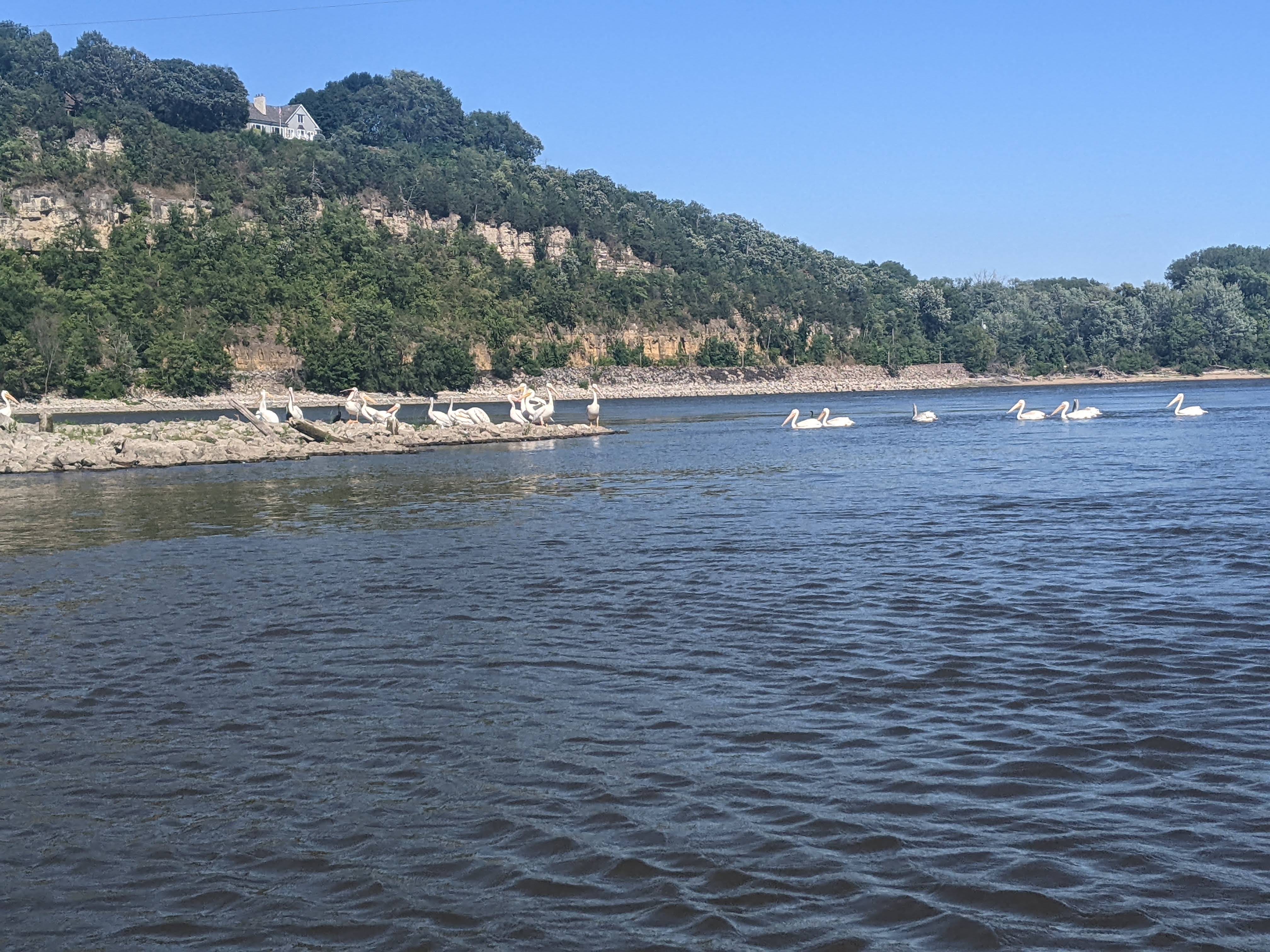
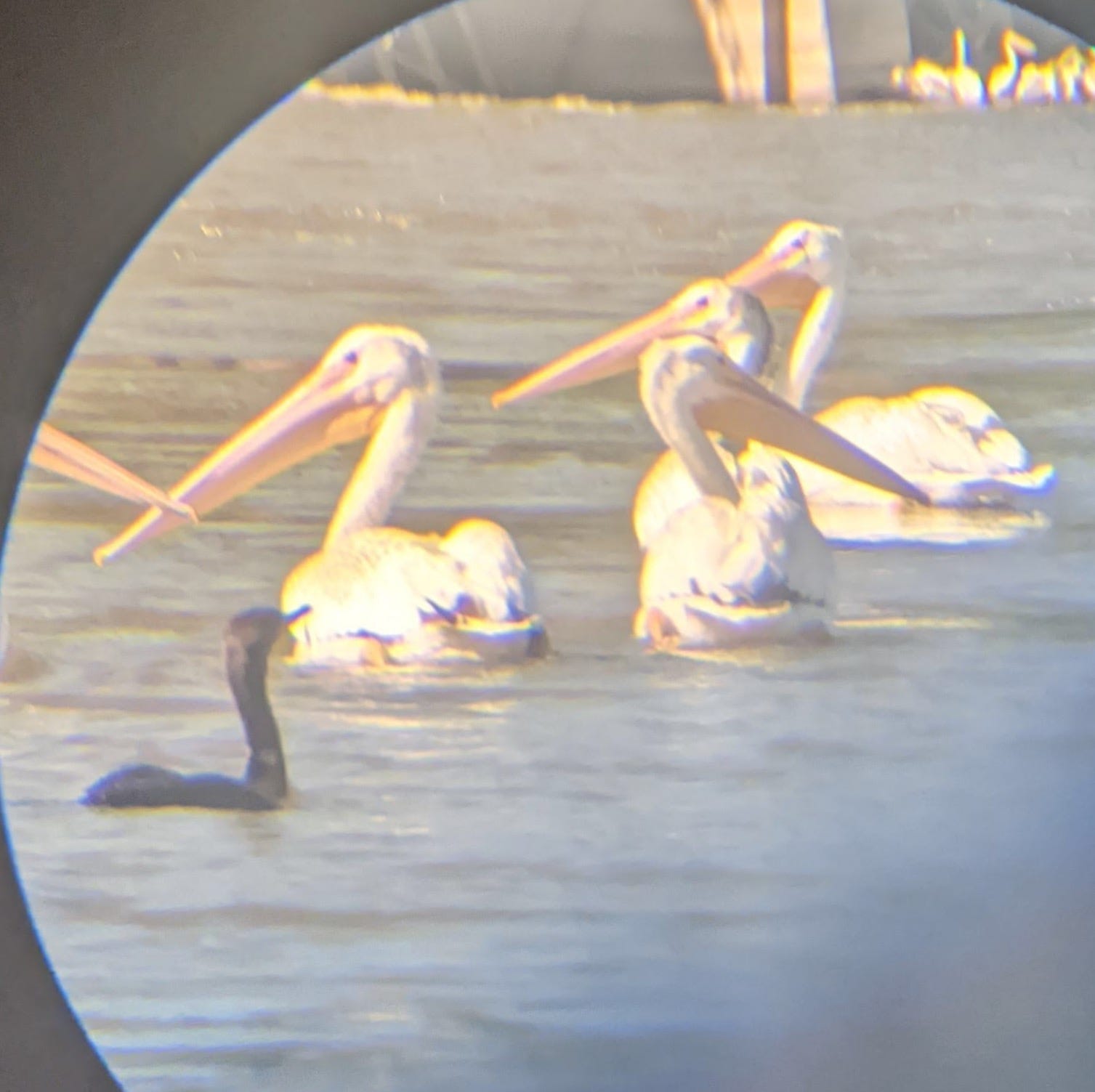
When the lock doors opened, I was greeted by my first view of Hastings, MN, and the nice bridge that spans the River there. Some pelicans also were there to greet me. They like to hang out right there on the lower sides of dams, because fish are attracted to the water flowing out of the dam. Good fishing for them!
Immediately after locking through, I renewed my search for a campsite. I found a nice primitive site shortly thereafter. I only realized after that it was quite close to a very active railroad line. It definitely woke me up a few times during the night, but sometimes that’s just how it goes on the River.
More Photos

River Log Day 26
844: Confluence of Minnesota River - Sandy and nice spot, but camping prohibited on this island. Decent flow coming out of Minnesota River.
843 - 835: Heavy industry. Keep your head on a swivel and radio if you think you’re not being seen. Barges use channel 13, locks use channel 14, Coast Guard uses channel 16.
832: Awful stench that began right as I was crossing under I-494 bridge. No idea why right there but it was foul.
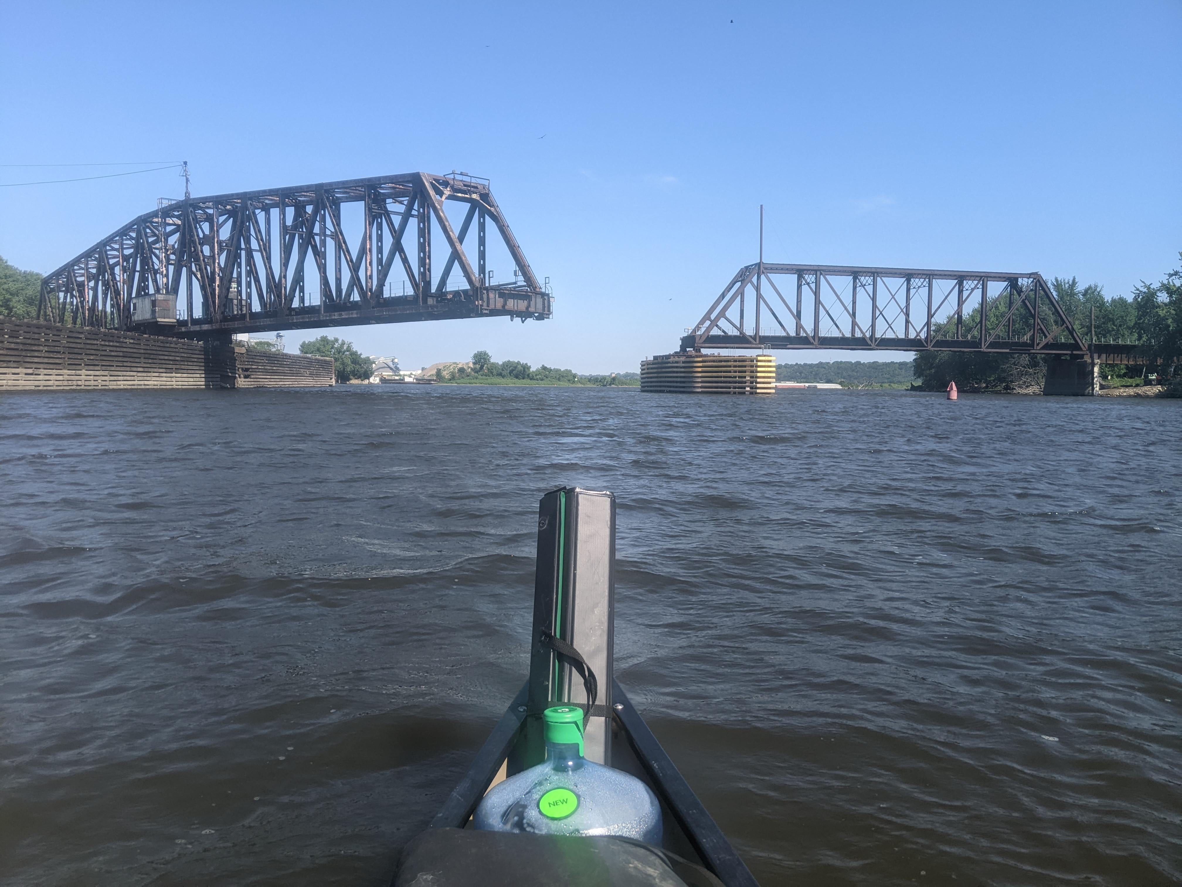
830: “Pinprick Island” - Good camping on very tiny island. Right downstream of Rock Tower Bridge, which is an old swing bridge that no longer spans the entire channel.
820 - Grey Cloud Island: No good camping available. Potential sandbar camping on an island upstream in the archipelago ~821. I did not verify, though.