


Day 56 - A Free-Flowing River
A big mileage day to Tower Rock

A Free-Flowing River
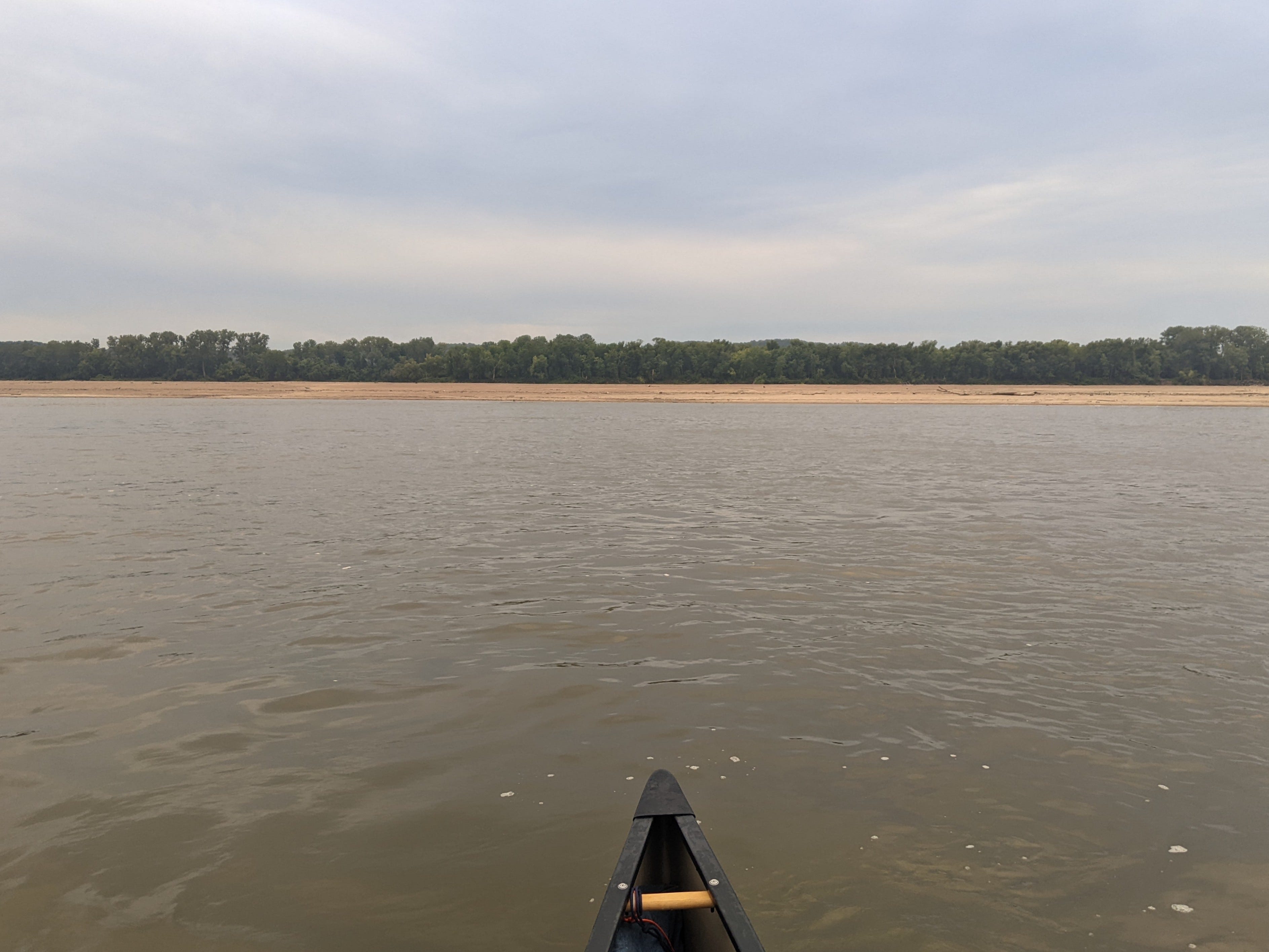
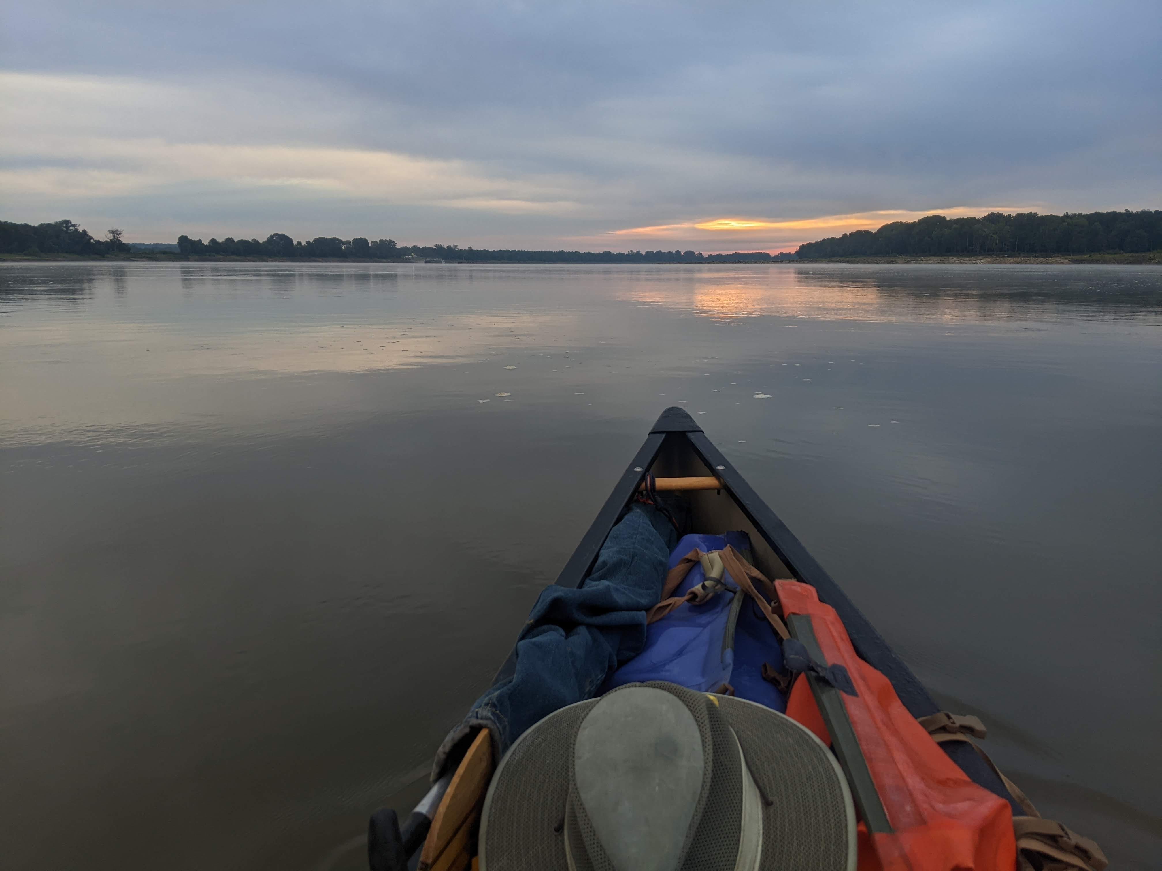
From the Chain of Rocks to the Gulf of Mexico — some 1,150 miles — the Mississippi River runs free-flowing. The character of the River has dramatically changed in so many ways since the Chain of Rocks. Sandbars gape 3 miles long, rockwalls, levees and wingdams tower above me, and shade is scarce, to name a few. Ways that I will attempt to articulate over the next few weeks, but too many to cover all at once.
One main difference is the speed of the current. I had assumed that since the water levels in the pools was so low, and the level of the St. Louis Gauge was in the “Extremely Low” category (SLG 1.2 as of this writing), that there would be minimal current pushing me along.
I was dead wrong.
There is a marked difference in the flow. It is night and day. Looking out at the water, it looks dynamic, convulsing, and boiling as it romps downstream — such a difference from the 27 pools I just passed through. I would estimate that it is flowing 4-5 mph, which translates to a canoe floating downstream without paddling going 2-3 mph. When I sit and eat a snack, or take a break, I’m going 2-3 mph! It’s a game changer.
In the pools, I was struggling to make 4 mph, mostly settling for 3 or 3.5 mph. Now when I paddle with the current, it offers resistance to the paddle (in a good way), propelling me downstream faster. I can pretty easily make 6 mph in a neutral wind in this current. It’s pretty amazing, and has put my mind at ease about struggling to make miles for the rest of the trip. Pace certainly won’t be an issue going forward, not for a while anyway.
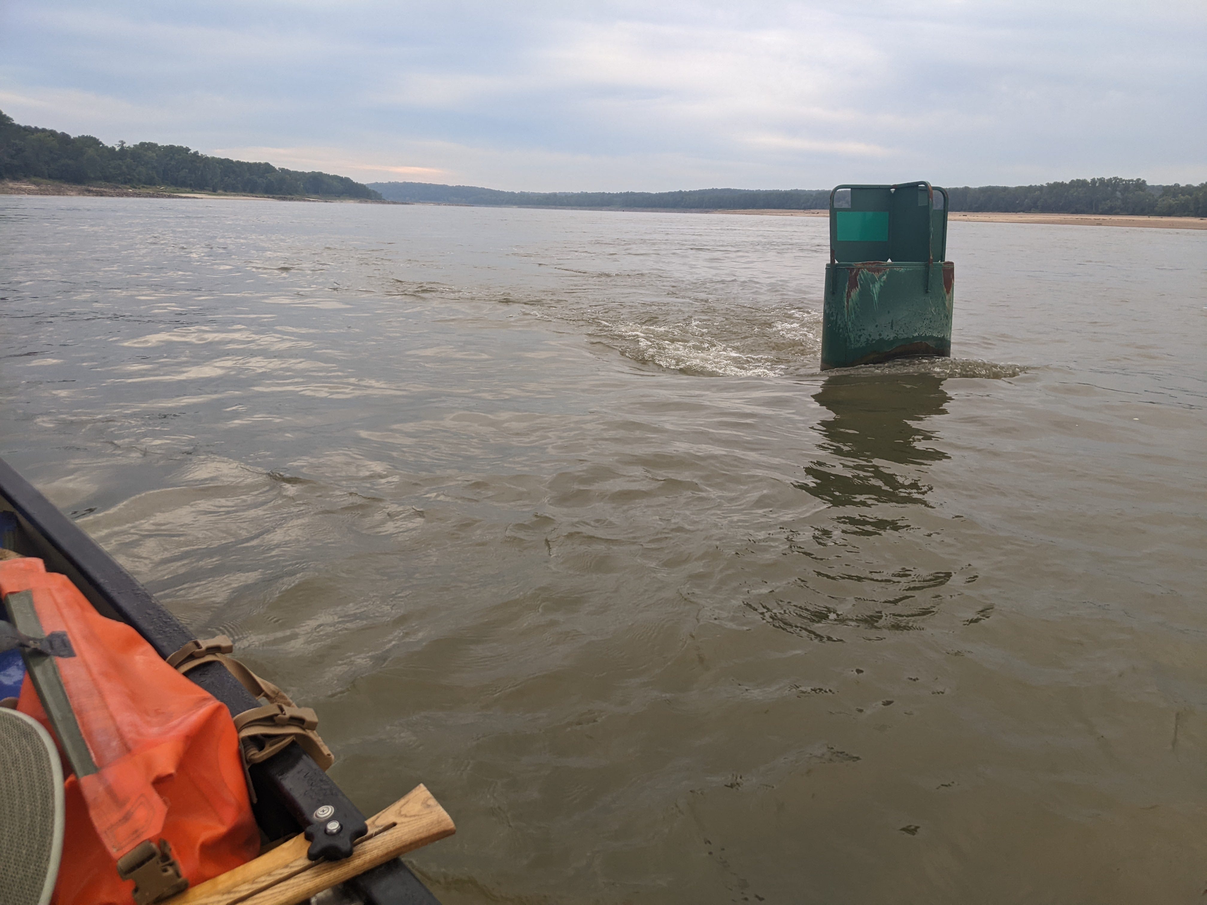
As one visual example, the buoys have much more of a “tail” behind them, which is whitewater in most cases. This is in stark contrast to the buoys of the pools, which had minimal ripples behind them.
Day 56: Fort Chartres Island → Tower Rock
Date: September 2nd, 2022
URM 134 → URM 80
Distance today: 54 miles
River Time: 10 hours
Countdown to Ohio River: 80 miles
Today was a wonderful day for paddling. Low winds and an overcast sky. I decided to make it a big mileage day as these days are hard to come by sometimes.
Whenever I passed an island, or inside bend of the river, I was in awe of the size of the sandbar I was seeing. In this middle Mississippi, water levels are less controlled than in the pools, and thus they fluctuate much more with the seasons. This means during low water (like today) there is tons of sand exposed.
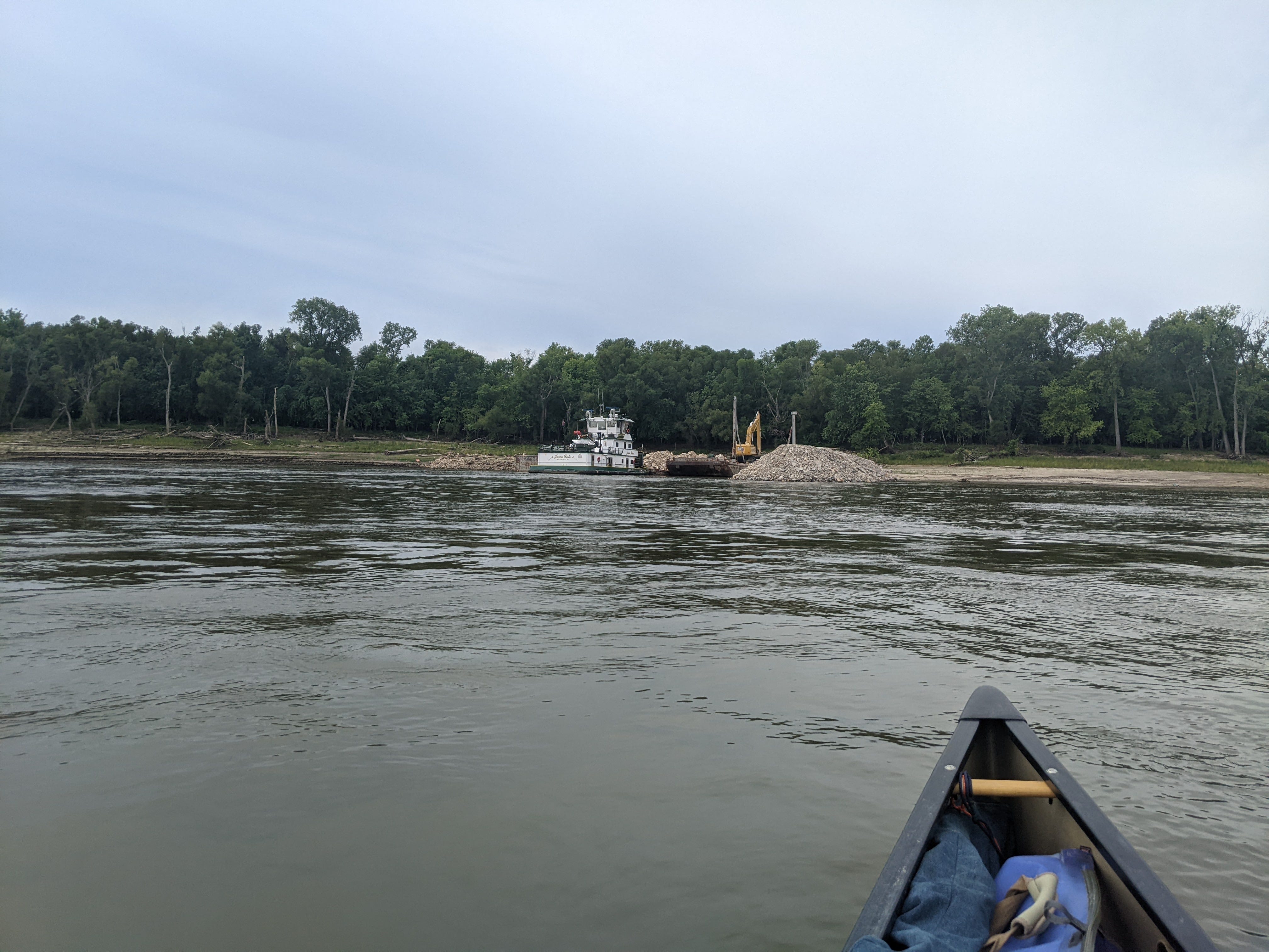
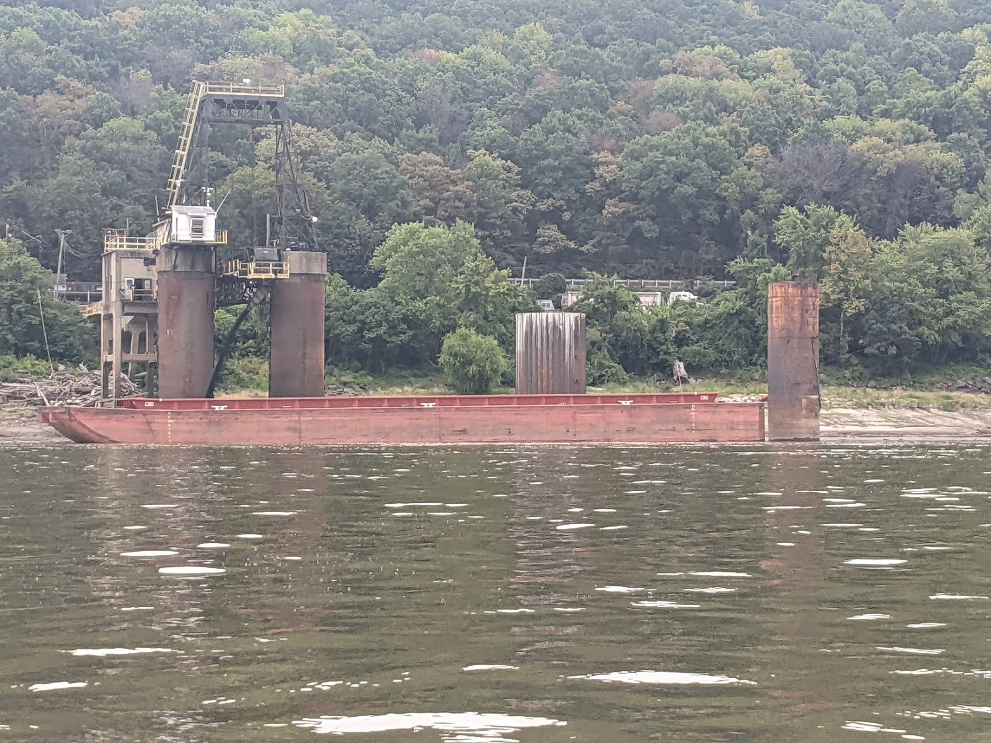
Early in the morning, I passed Tower Rock Stone Company, which was quarrying rocks that I believe get used by the Army Corps of Engineers to build rockwalls and wingdams on the River. Rip-rap is what those huge boulders are called once they are in place on the River. It was a big operation, with multiple tows dedicated to shuffling the rocks when I passed by.
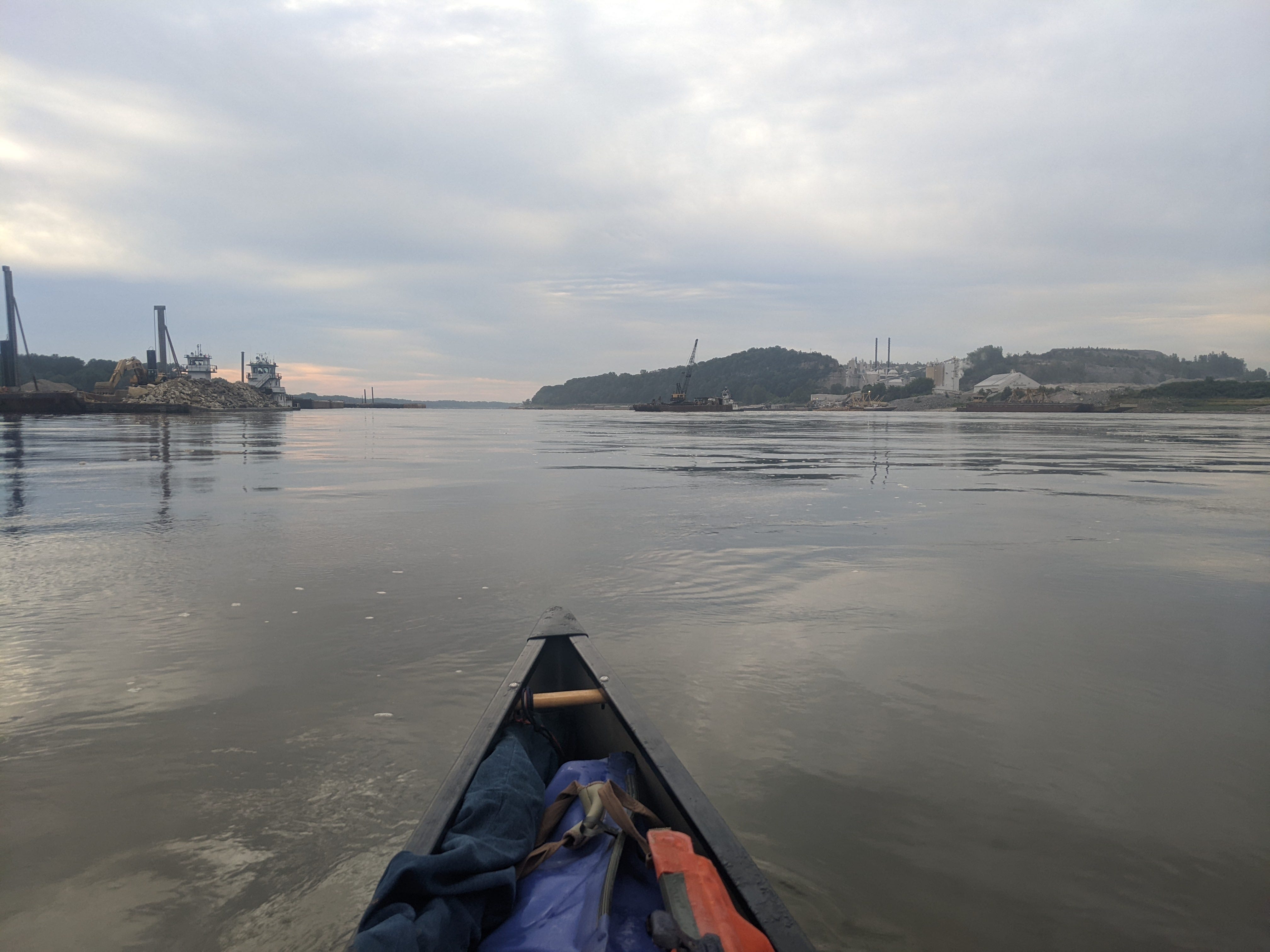
Past the Port of St. Louis, there is industry like this every once in a while, but other than that the River is mine alone. It’s a special feeling to be alone floating down America’s River in a 16-foot canoe, with no other vessels in sight.
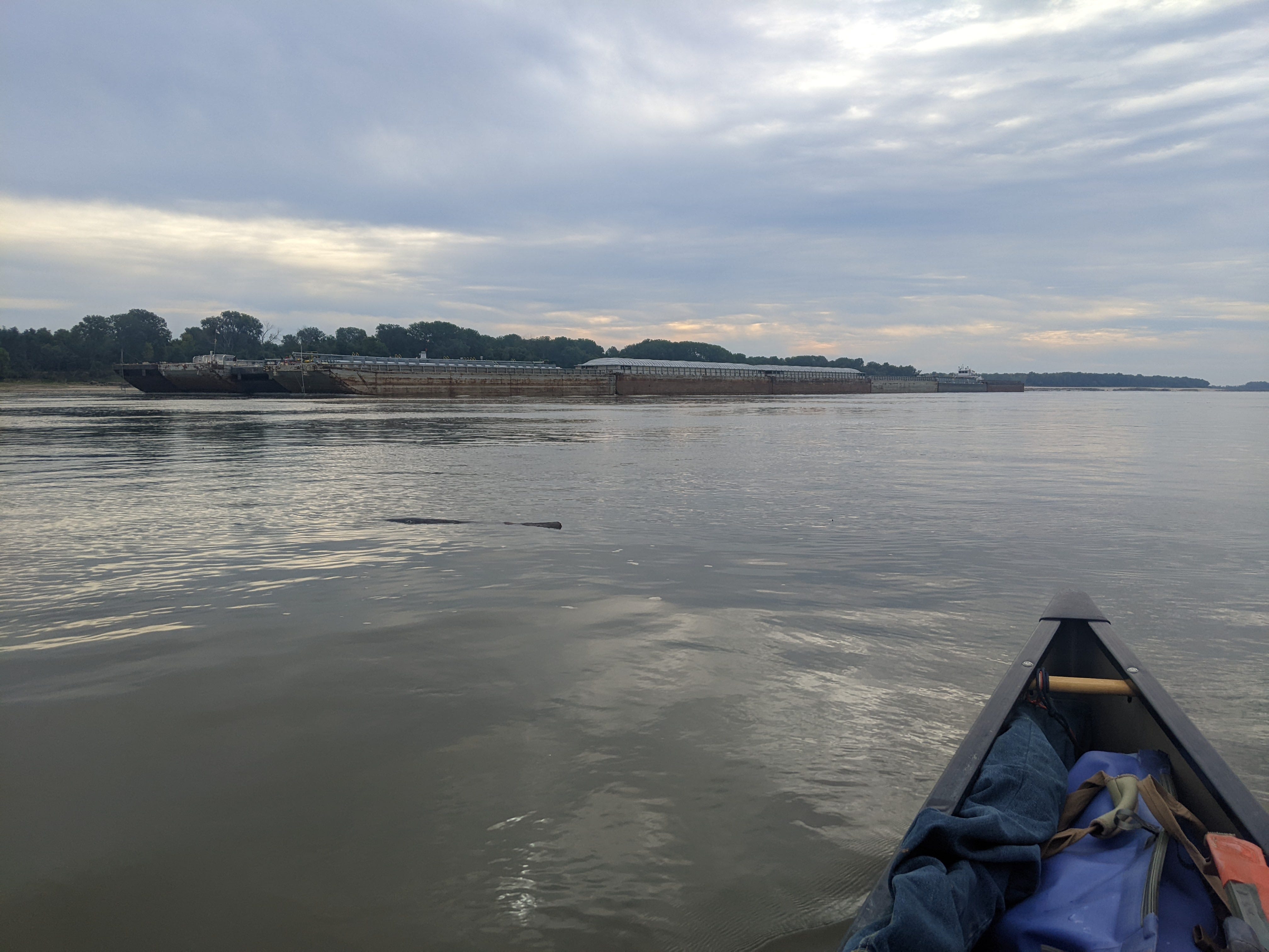
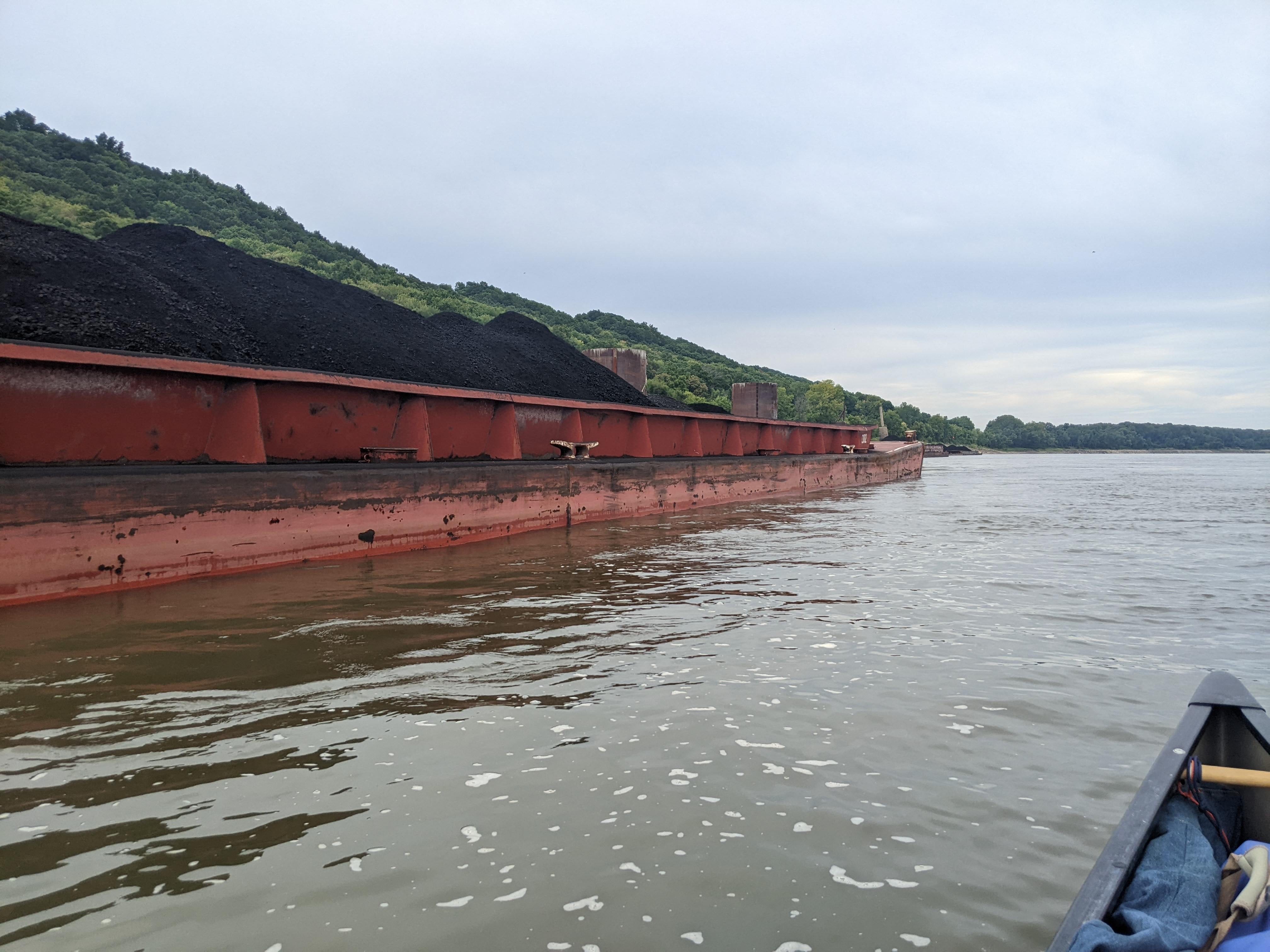
As I paddled on after lunch, I saw large amounts of coal being loaded and staged in barges, no doubt to be shipped to a power plant on the River imminently.
The day kept on being perfect, so I kept paddling. Looking ahead on my notes I saw that the iconic Tower Rock was not too far away. It would make for a 54 mile day — my longest yet by far — but I was moving at such a clip that it was definitely in the realm of feasibility.
As it was getting to be supper time, I rounded the last bend and got a head-on view of the Tower Rock. It’s basically a massive boulder jutting out of the water, with a cluster of trees growing on it. Lewis and Clark described it in their journals as an oddity. It really is very out of place with all the other scenery on the River, and sticks out like a sore thumb! Today the lighting was poor coming into camp, so I will have photos of it tomorrow, when I go and explore it.
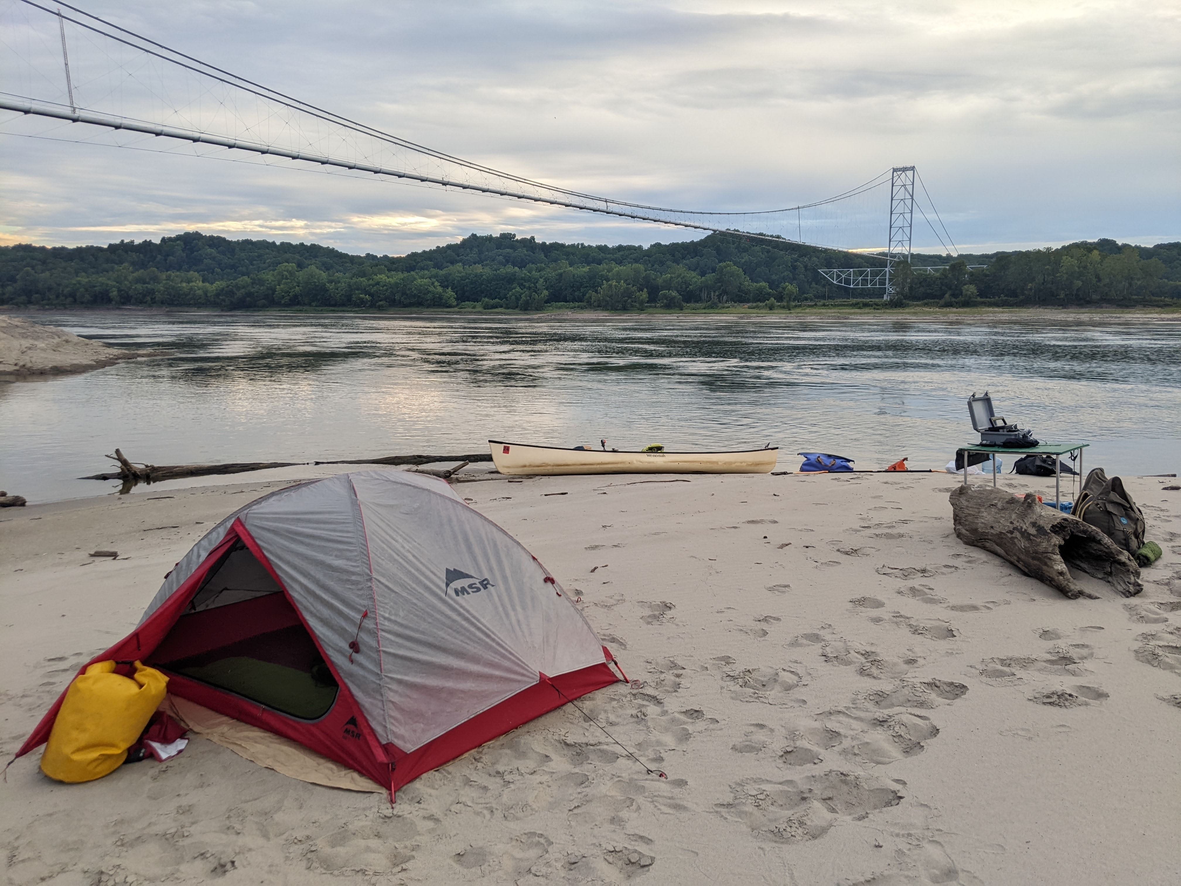
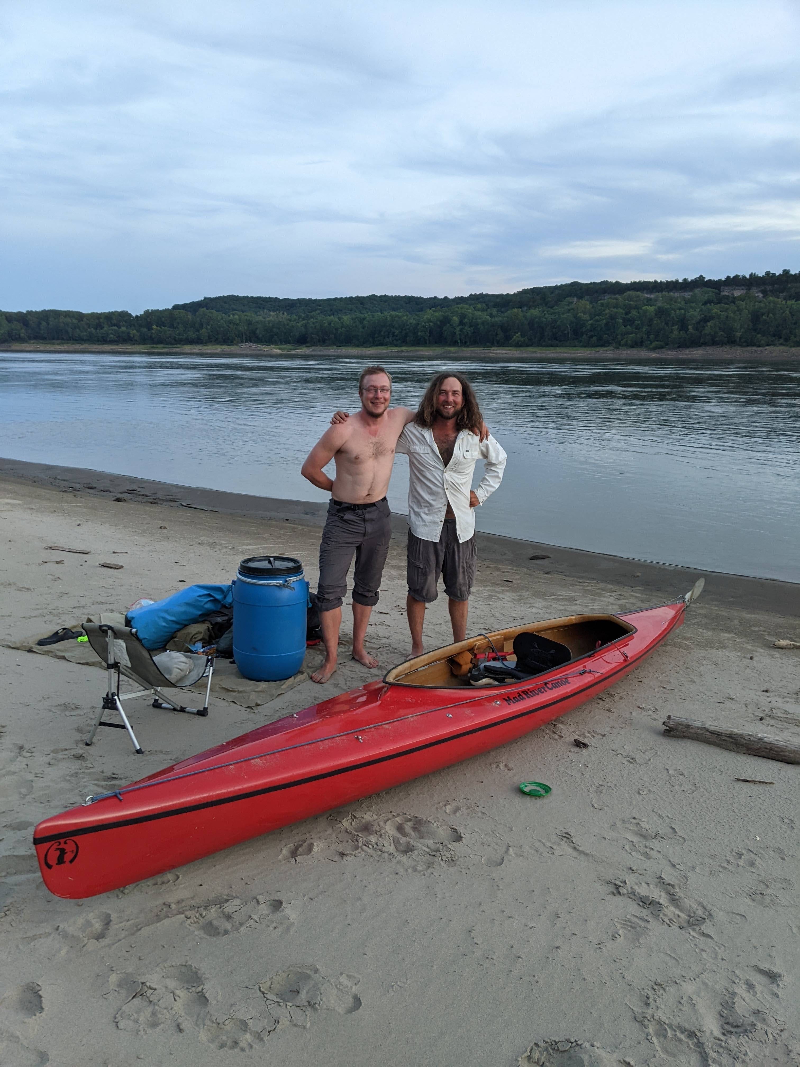
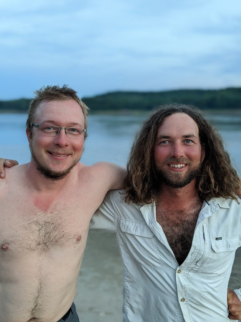
I made camp at an expansive sandbar just north of Tower Rock. I love when I have the whole place to myself. It is also near another oddity: a suspended natural gas pipeline. I have no idea why this pipeline is special and doesn’t run under the water like all the other ones. Here is home for the night:
The Future
Tomorrow, I will sleep in after a long day, then I will hopefully make it to Cape Girardeau, MO. Hopefully there is a place to get fresh produce near the River.
Then within 3 days I should be arriving at the confluence of the mighty Ohio River. At this point, the Mississippi River will actually triple in size. All of a sudden precipitation that fell in Pittsburgh will be affecting the flow. It’s crazy to think about that. This is an impressive confluence.
There are storms in the forecast, so all of that is tentative.
Some More Photos
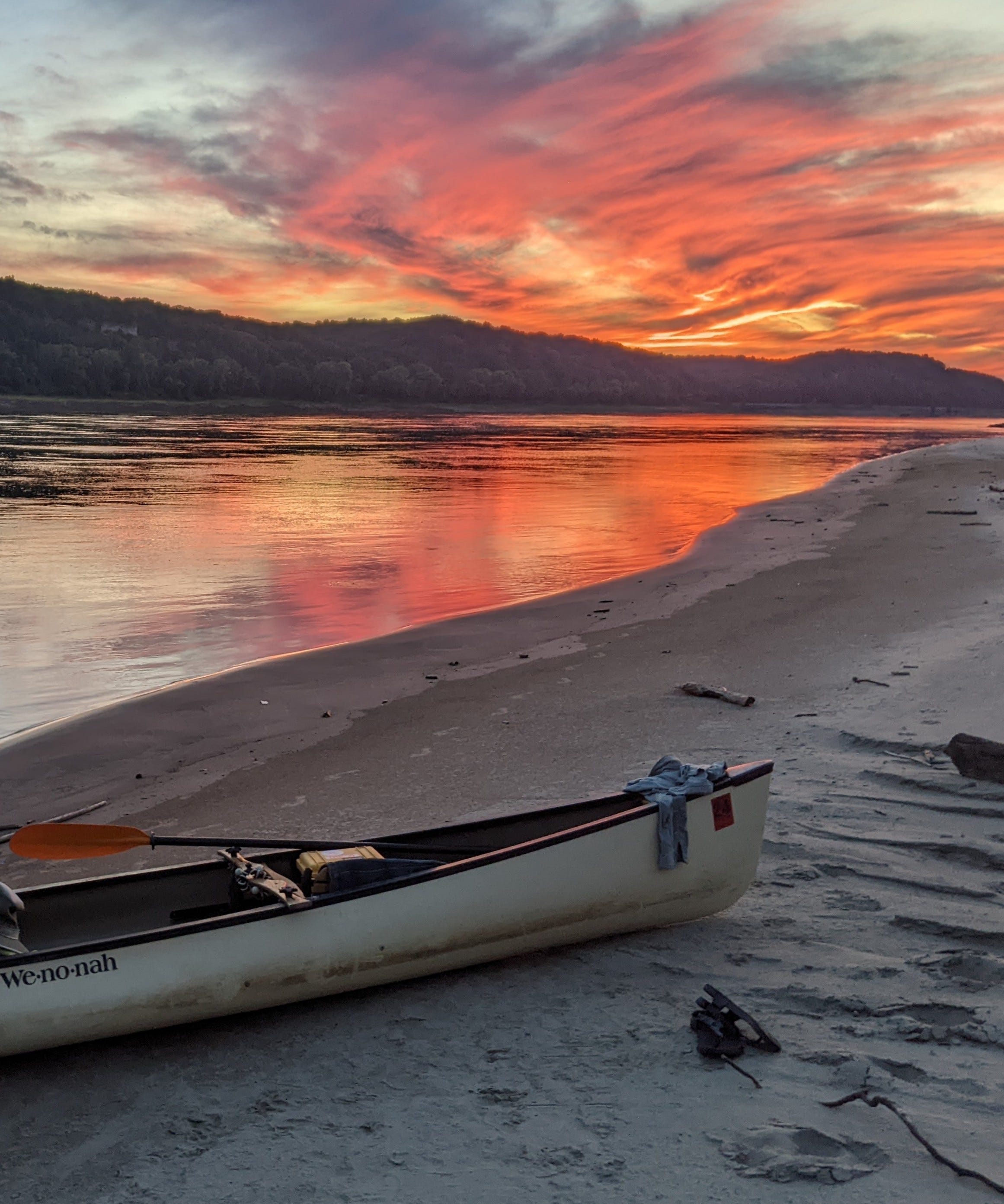
Great photos - I especially like the sunset & your “abode” on the sandbar. Glad the current is giving you some help now.