


Day 57 - Storming into Cape Girardeau
And scrambling up the Tower Rock

Day 57: Tower Rock → Marquette Island (Near Cape Girardeau)
Date: September 3rd, 2022
URM 80 → URM 50
Distance today: 30 miles
River Time: 7 hours
Countdown to Ohio River: 50 miles
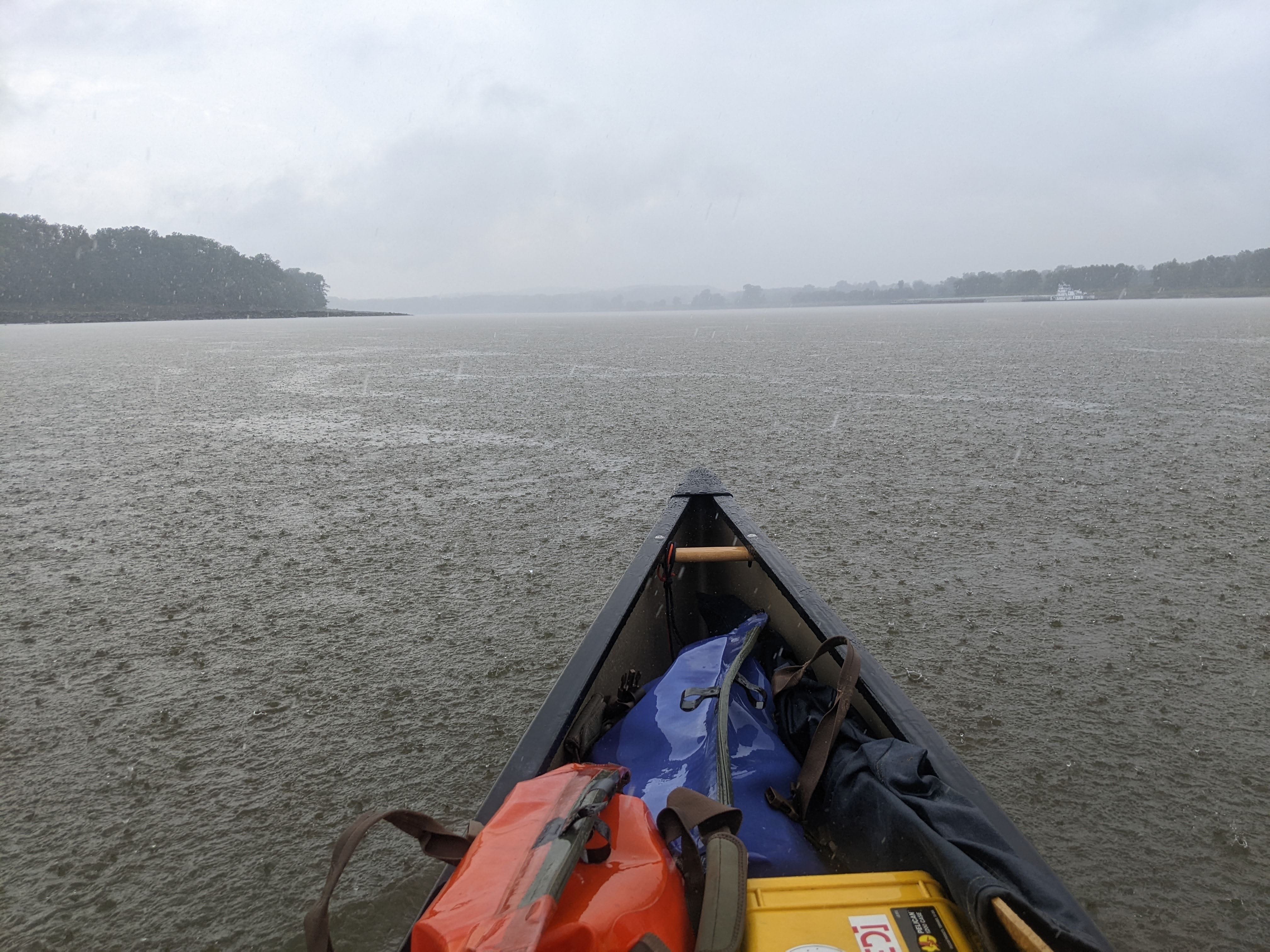
Today big storms were in the forecast. I got to sleep in because the rain was pounding my tent all the way until 7:30 a.m. It felt good to get a little extra rest. During a break in the rain, I packed up my camp and headed out. My first destination was under a mile away: The Tower Rock!
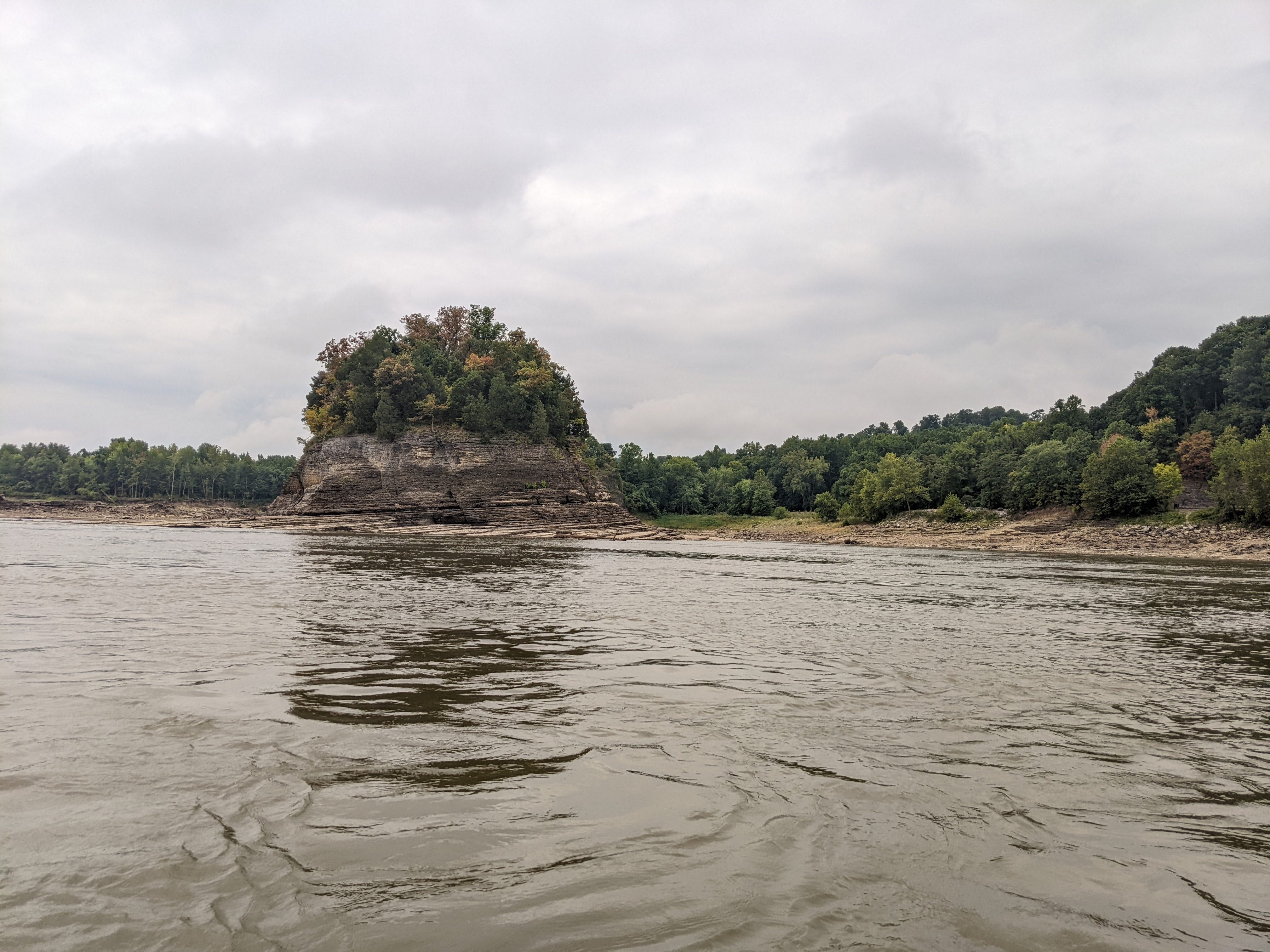
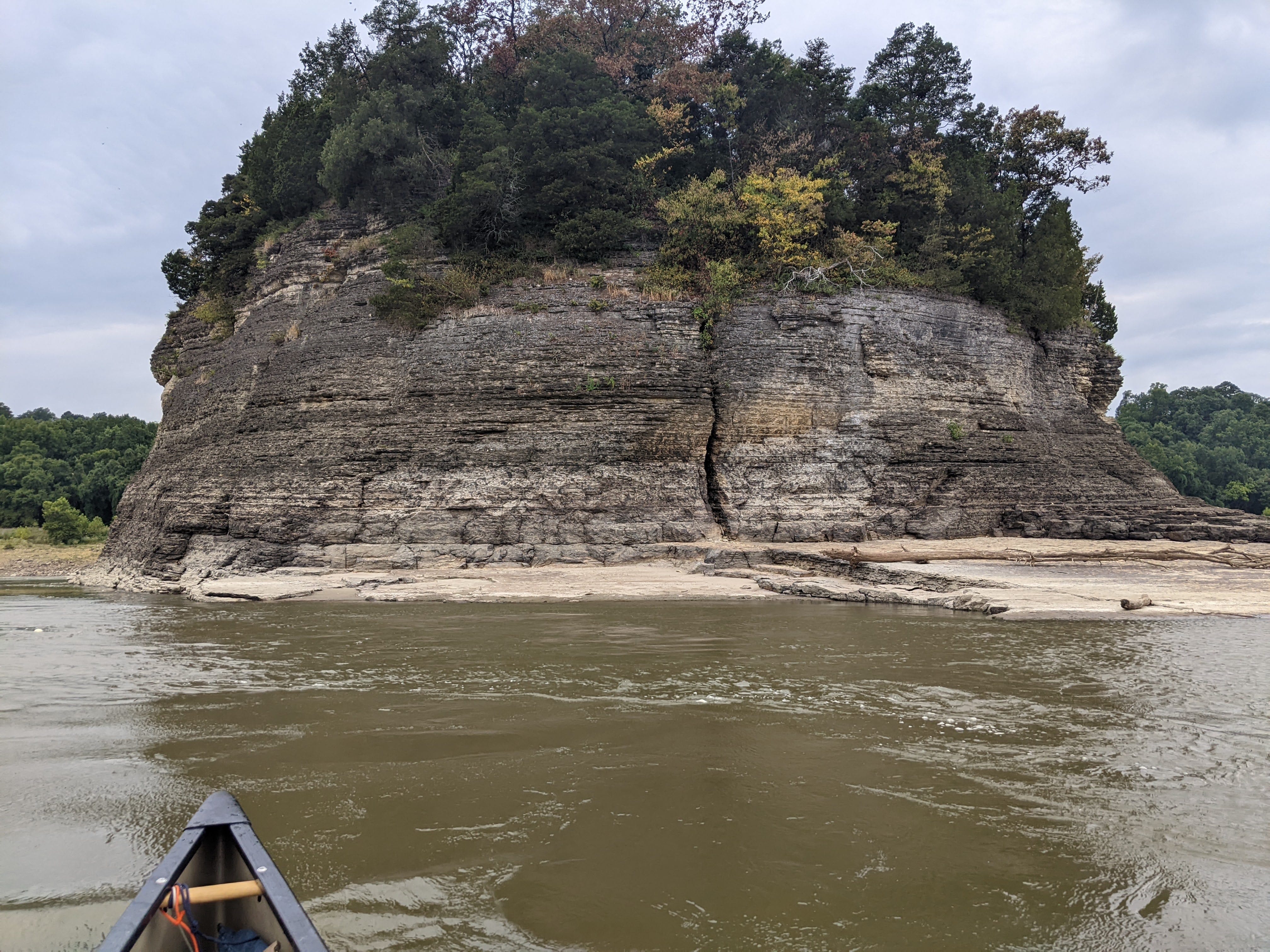
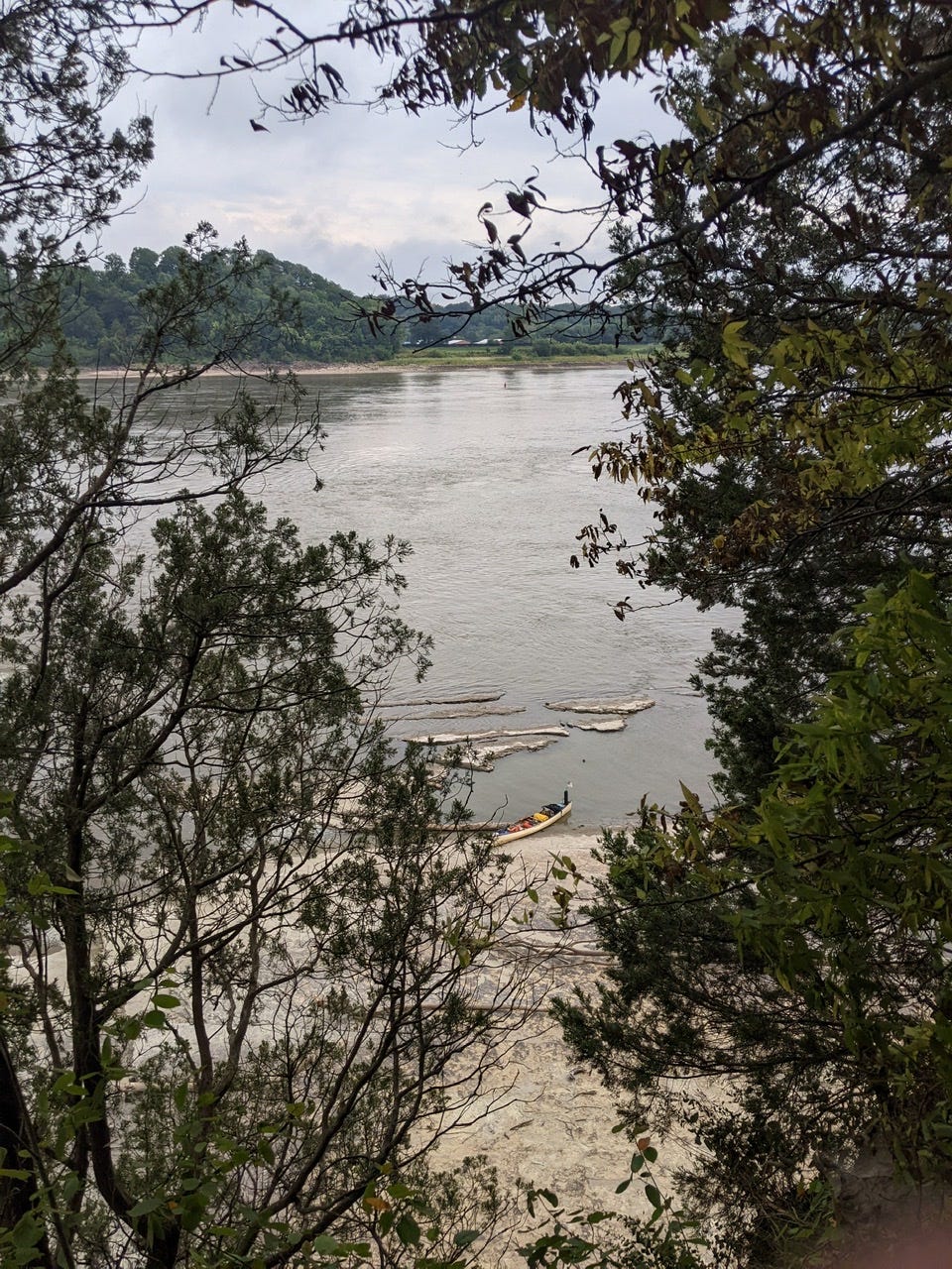
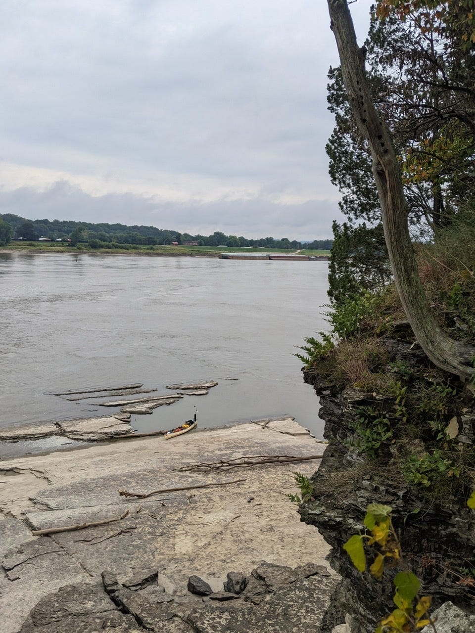
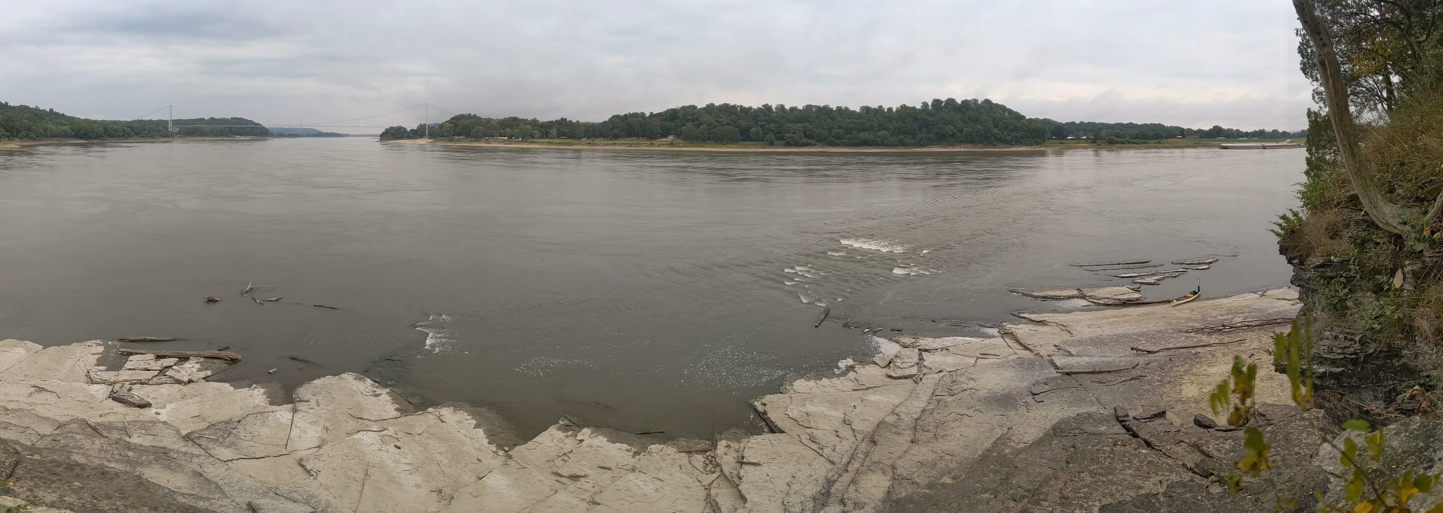
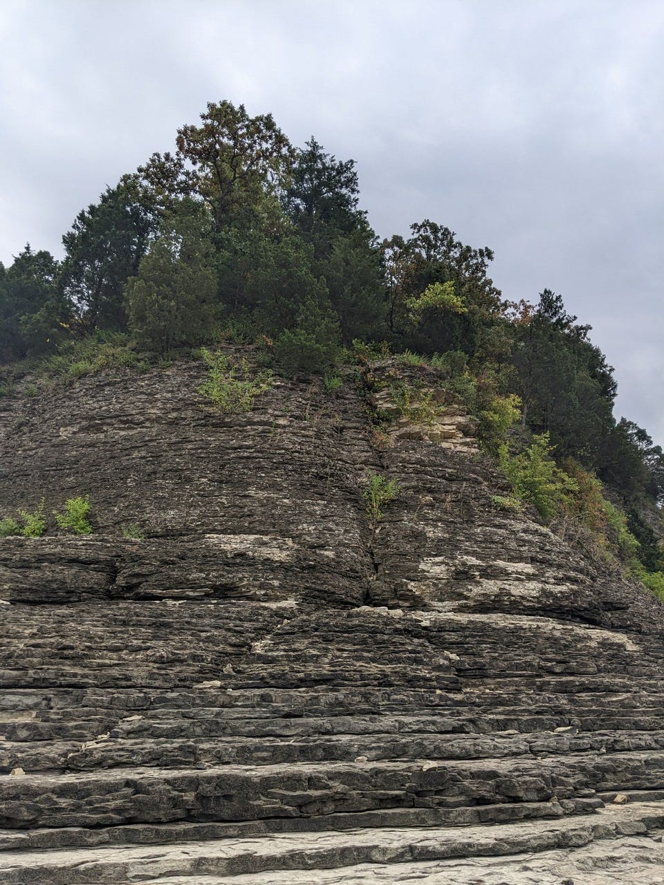
I swooped around to the back side of it to find my parking spot, then explored the island. I climbed up to the top using a 5.2 scrambling route on the upstream side, which I nicknamed the Poison Ivy Lair. The top is a dense woods full of cobwebs and junipers. Not a place to camp.
I captured some photos of the Mississippi River from up there, from an uncommon elevation. Unfortunately the day was cloudy so they didn’t come out great, but it’s the day I was working with.
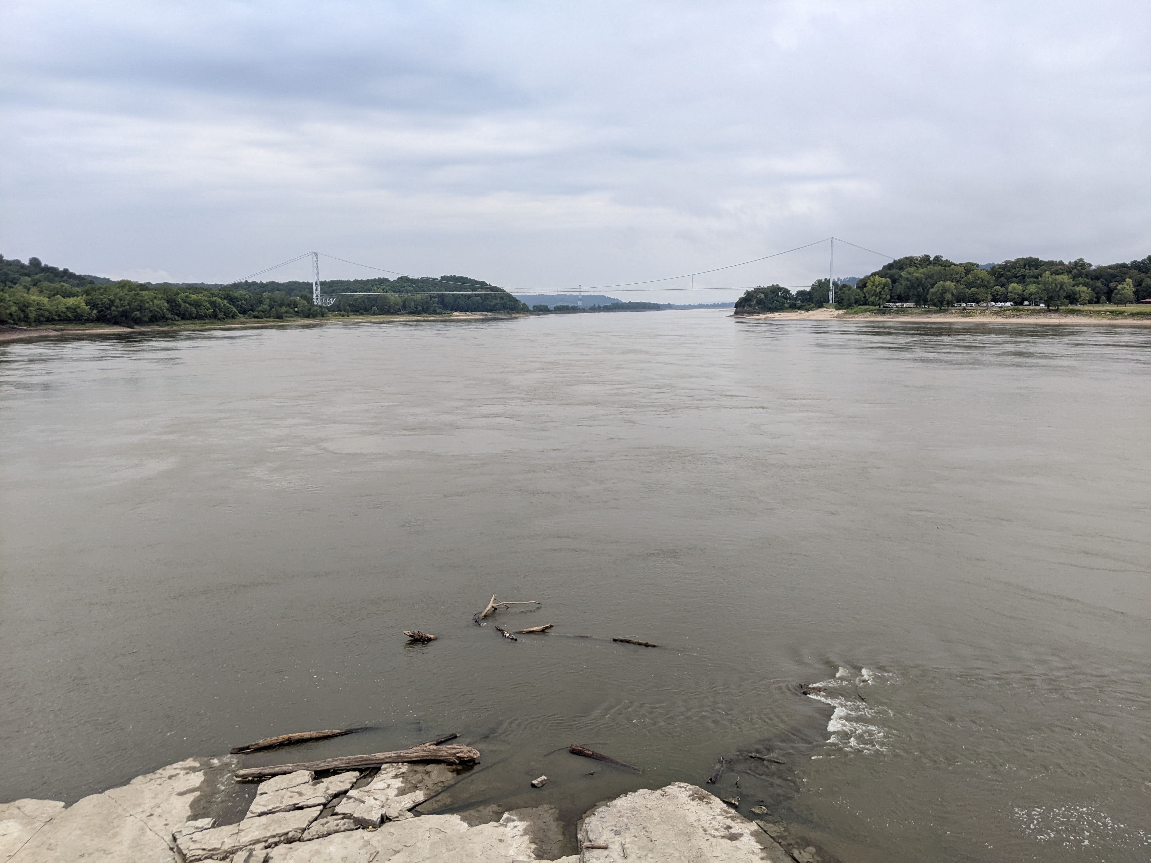
After this, I continued on downstream. The River was tranquil, under an overcast sky. There were drizzles every once in a while, but otherwise the surface of the water was like glass.
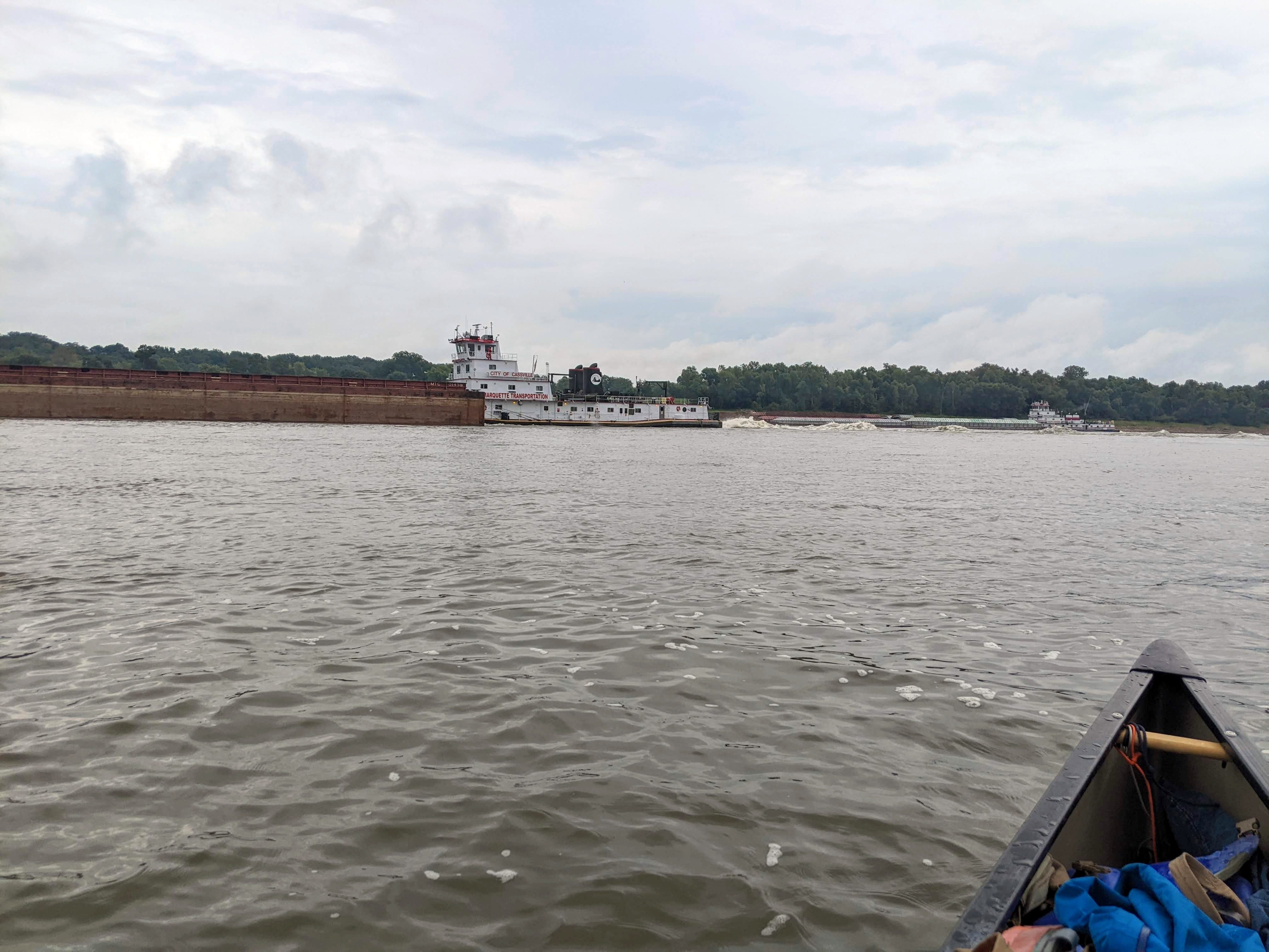
Except of course, when a tow passed; some of them today were churning up massive waves! After a tow like this passes, there is of course the initial wake it creates, but then that wake bounces off the banks, and mixes with the flow of the water in haphazard directions and creates a lot of cross-wise turbulence. This churn sometimes takes 10 minutes or more to calm down fully.
Just as I was getting ready to pull over for lunch, a big squall ran through. I didn’t hear thunder nearby, so I kept paddling near shore, ready to make a break for it at a moment’s notice. But I was lucky: just rain! After the rain cleared up I had a very late lunch.
By that time, I had nearly reached my goal for the day which was Cape Girardeau. I rounded the next bend and the massive bridge came into view. I could also make out the giant mural on the sea wall even from far away.
Cape Girardeau has a continuation of the levee called a sea wall. Most of the time the large gates remain open, and the public can explore the riverside. In flooding events, the gates close and the sea wall protects the city.
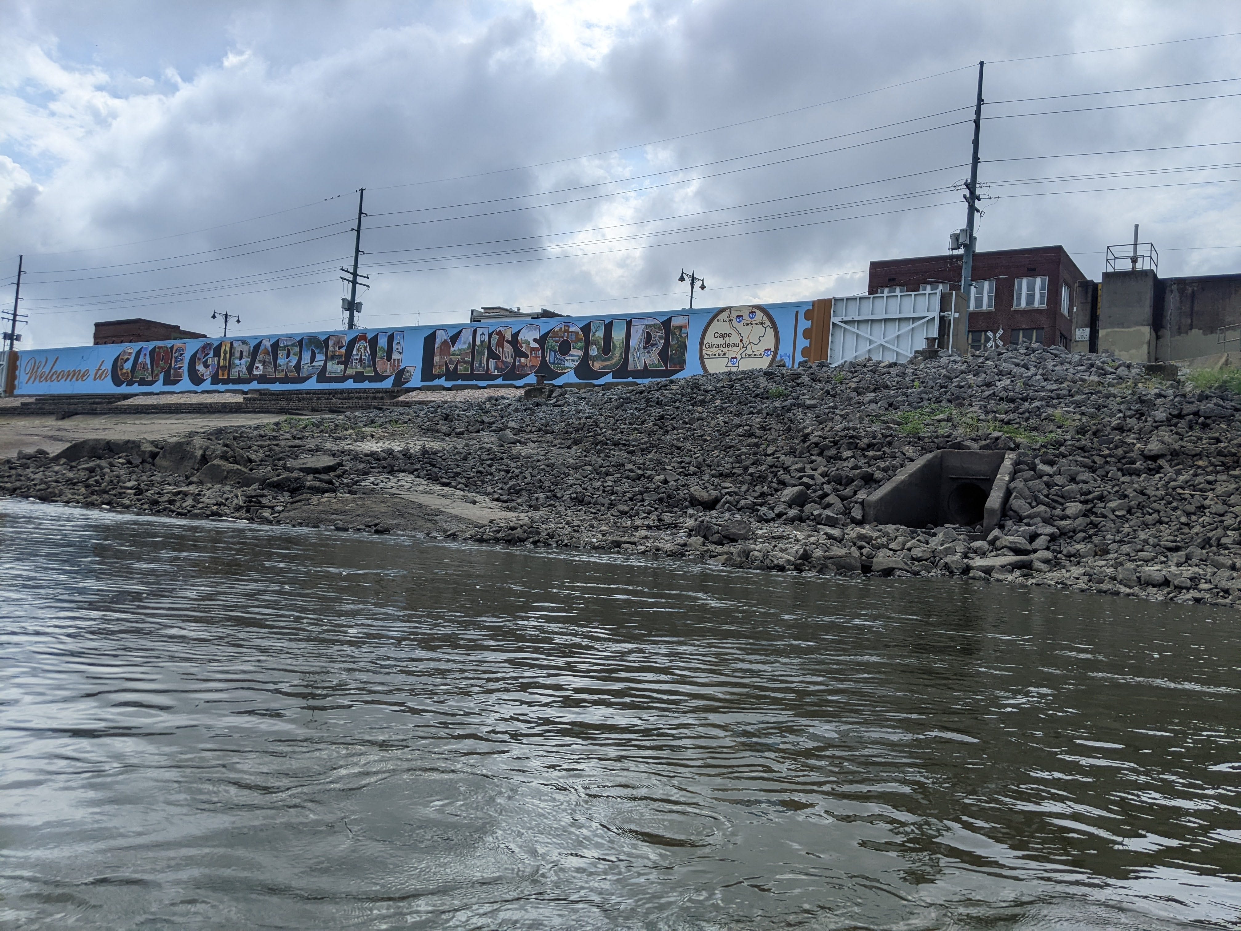
Rarely is beautiful artwork displayed outward toward the River, for who would see it? Well, I saw it, and I appreciated it!
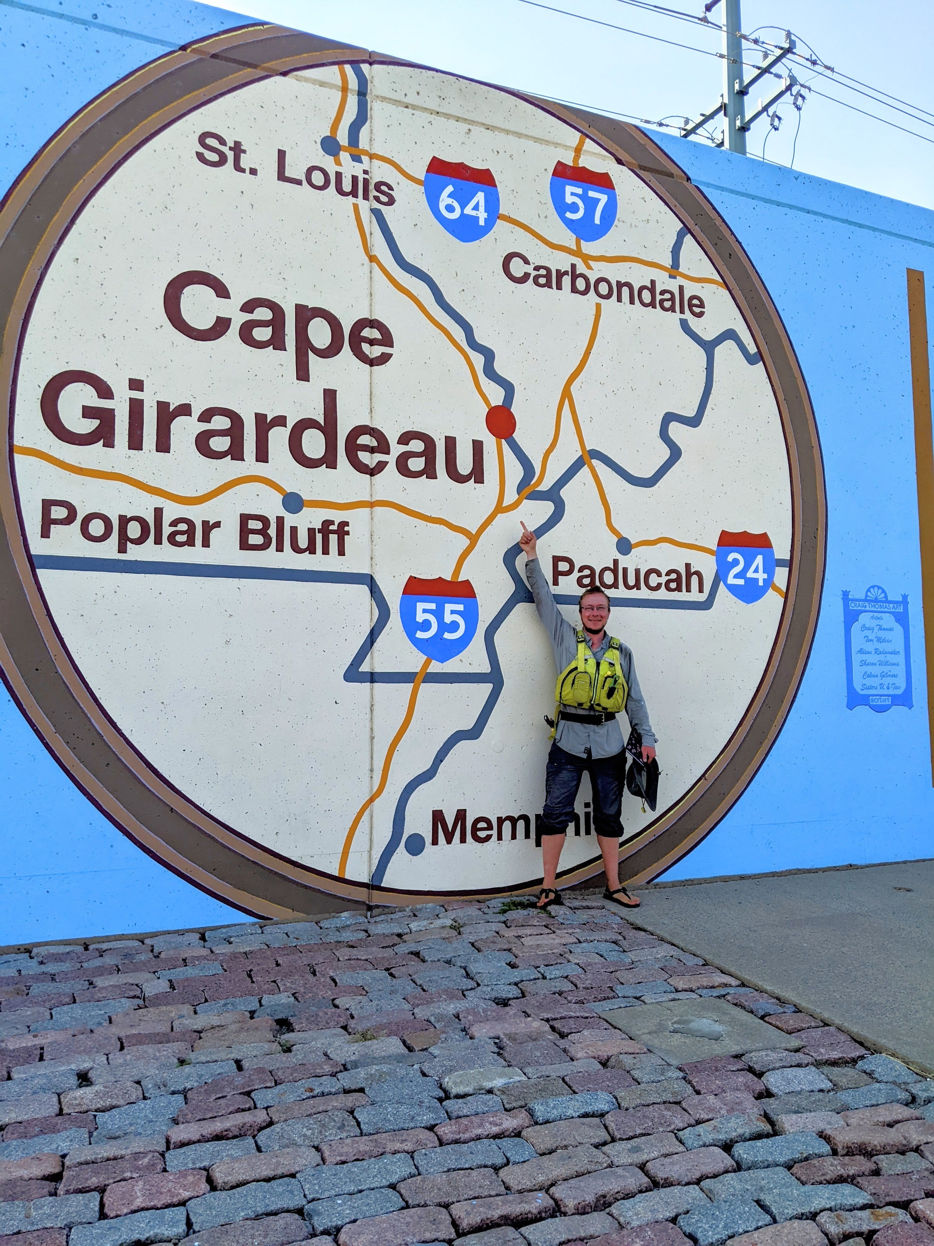
Once I made landing, I looked to see if there were any grocery stores nearby. (As a solo paddler, I don’t like to go far away from my boat.) I wasn’t in dire need — I have enough food to get to Memphis. However, I try to restock on fresh foods, which are hard to come by in between larger resupplies. Unfortunately, there were no grocery stores near the waterfront. So I sat and admired the mural and stretched my legs a bit.
Then in a stroke of River magic, I met a friendly family who on a whim decided to help me out. Danielle watched my canoe while Brandon took me to a grocery store. Thanks to you both for your kindness! Future River Angels, perhaps? The local area here doesn’t have one as far as I know. Thank you Brandon and Danielle for supporting me on my journey; it is much appreciated!
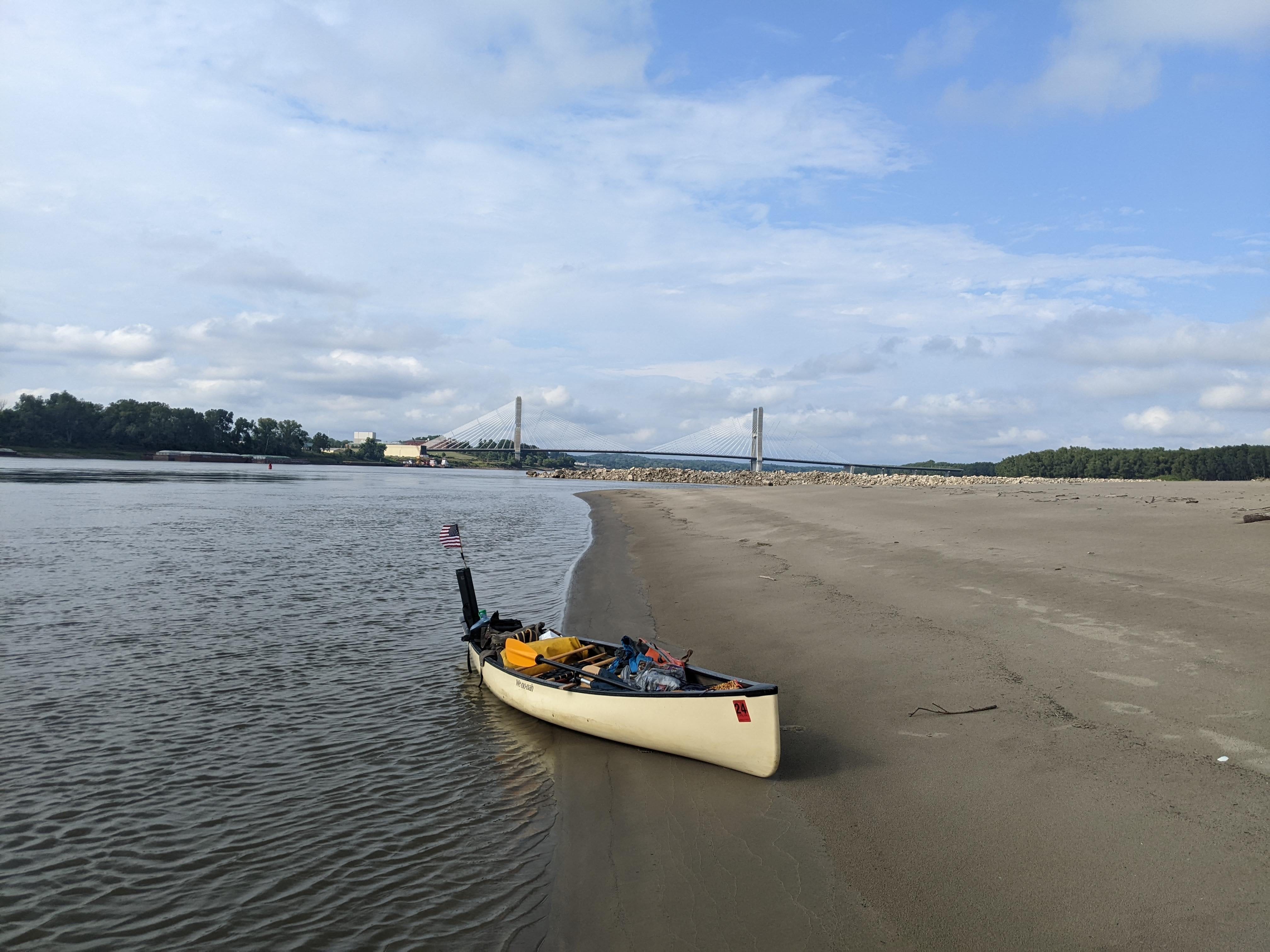
After my serendipitous resupply, and with a big smile on my face from meeting kind strangers at the landing, I headed off to find my camp for the night: Marquette Island. It’s only one mile below Cape Girardeau, and I’m within view of the bridge. It was a wonderful day on the River!
Love the photos from the top of Tower Rock! The canoe looks so tiny down below. And yeah for River Angels in training! How kind of them to assist.
I thought about you yesterday when we encountered some big downpours on our way further down river. We plan to be in Paducah later today. More rain is forecasted. Stay safe and hopefully dry!