


Day 59 - Onward to the Ohio!
And into Kentucky!

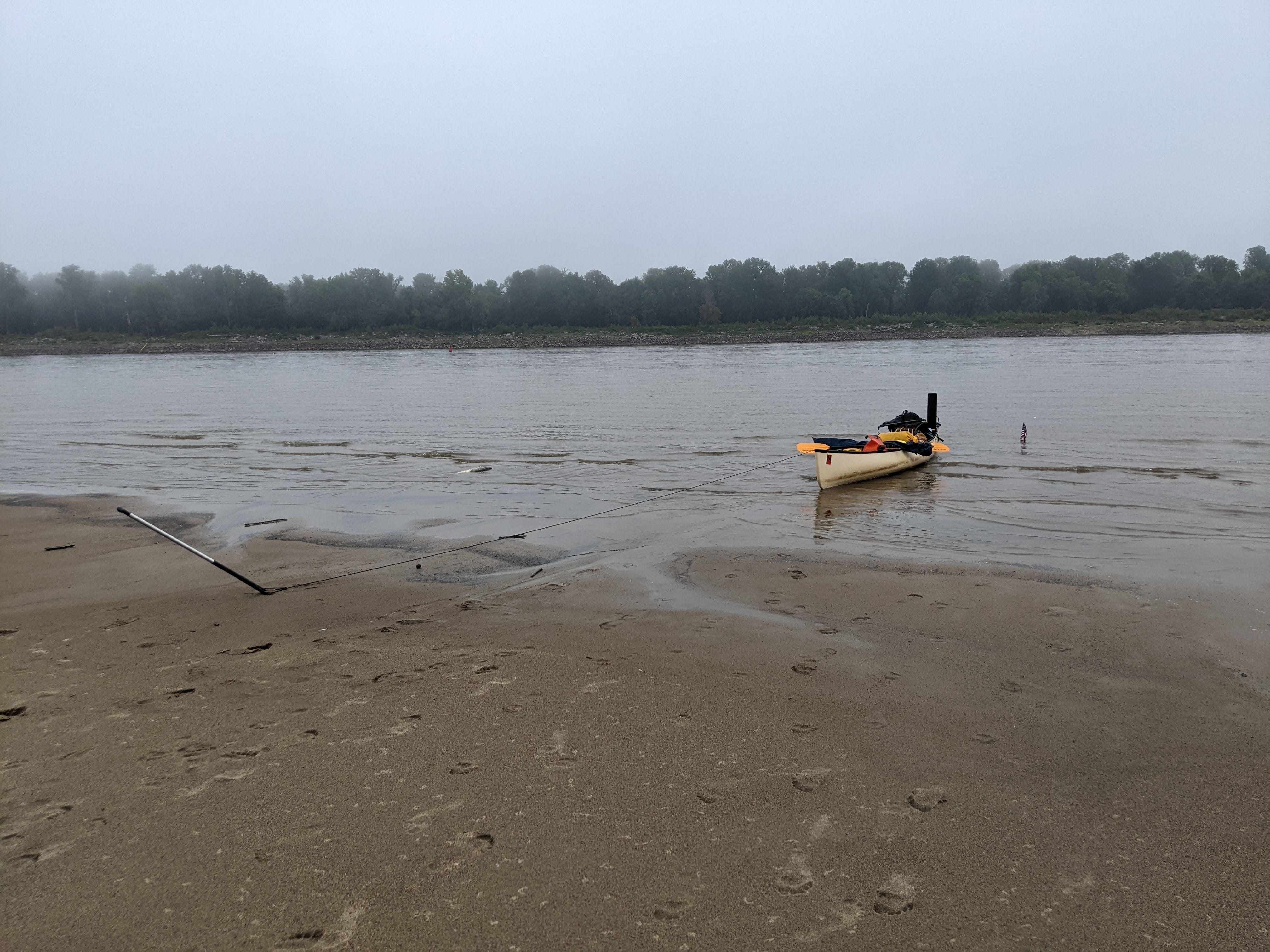
Day 59: Dogtooth Bar → Island No. 1, KY
Date: September 5th, 2022
URM 20 → LRM 948
Distance today: 25 miles
River Time: 8 hours
Countdown to Memphis: 211 miles
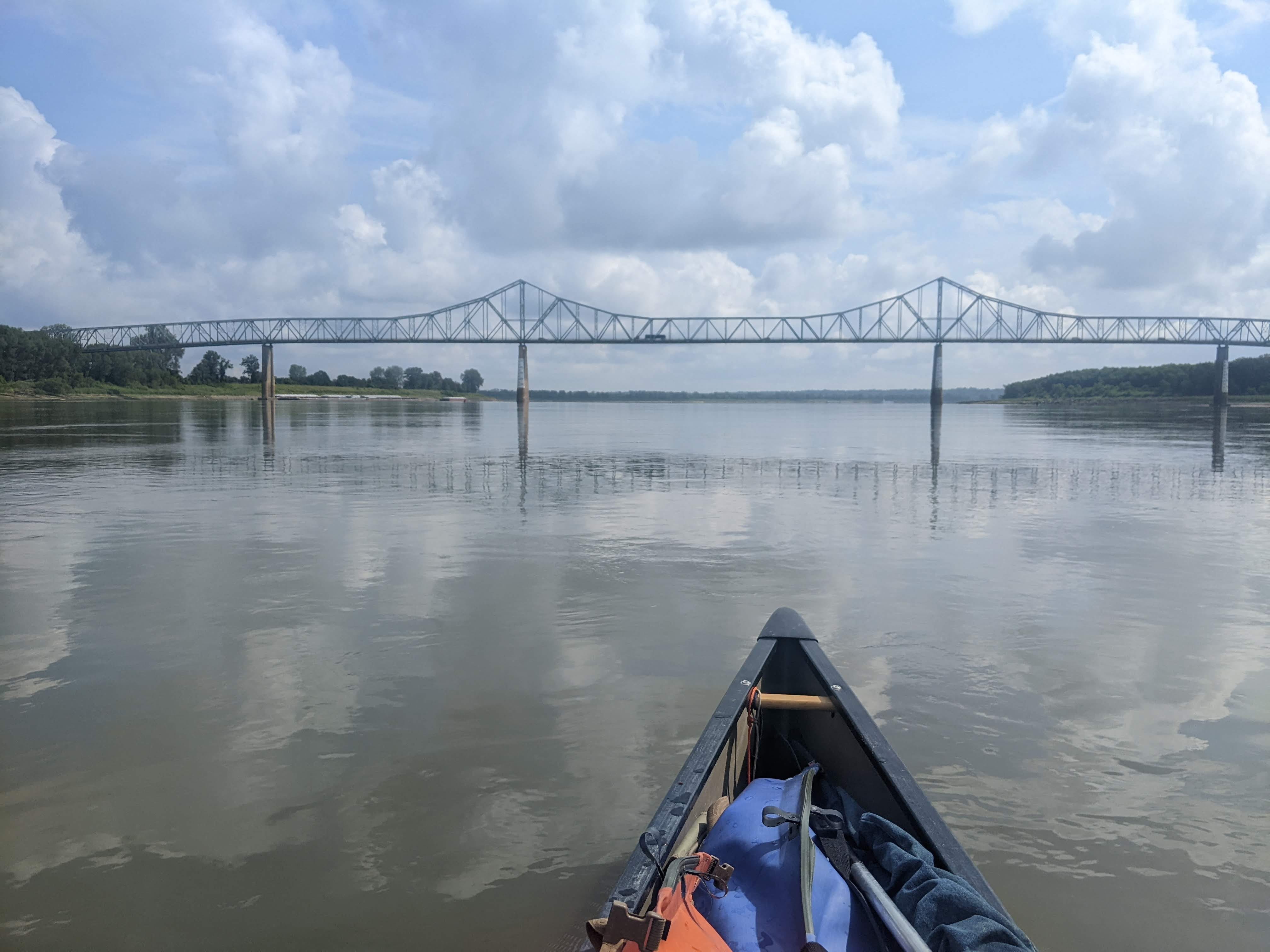
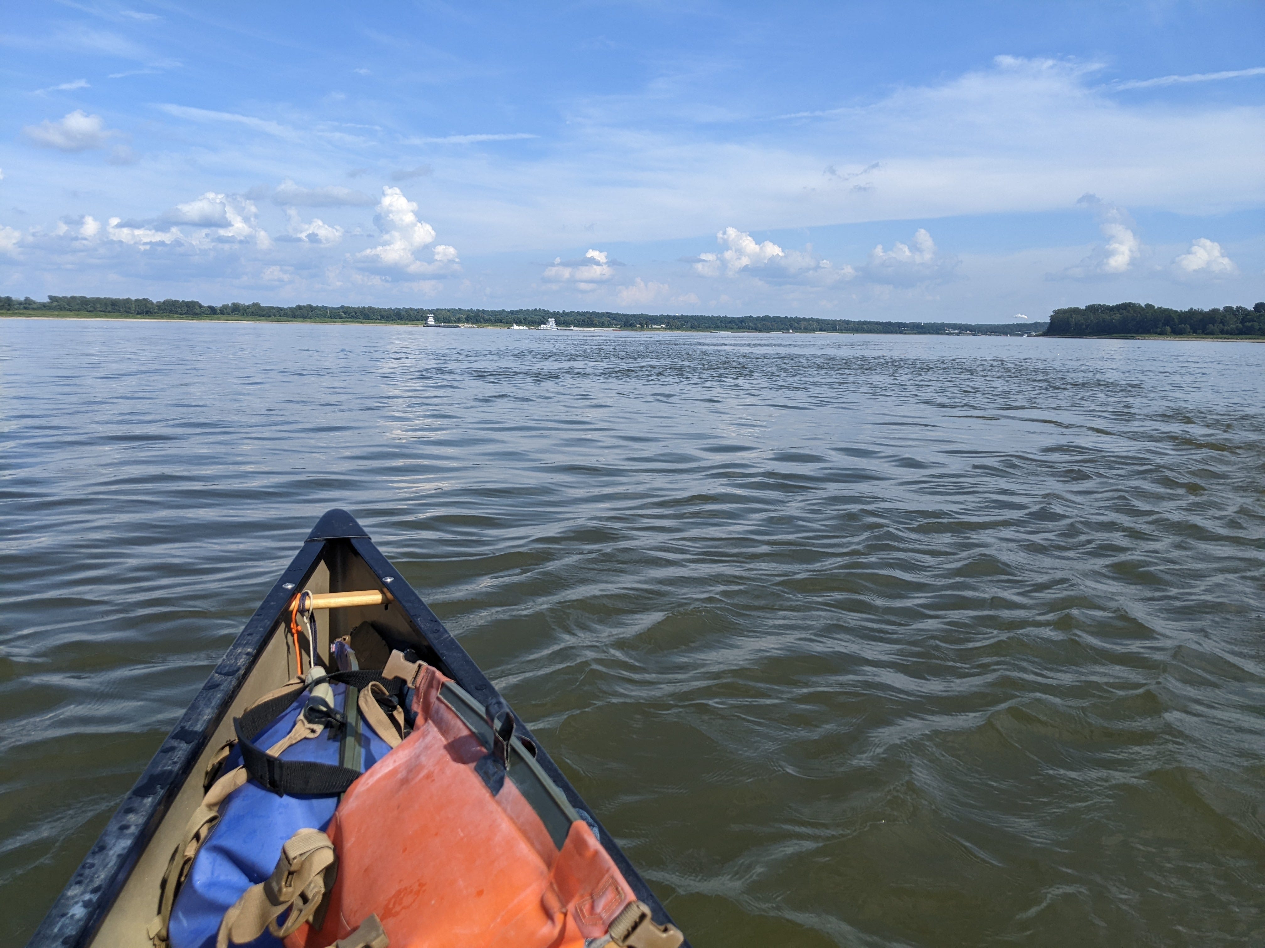
Today was a big day. The River I’ve been following for so long — the one that I’ve watched transform from a tiny trickle to a massive flow — is going to triple in size! The Ohio River typically commands double the flow of the Mississippi when they meet, meaning that after its confluence, the Lower Mississippi is the largest river by volume in North America.
It’s odd to think that all this time, my mileage was counting down to this point. Lake Itasca is at mile marker 1,342, and it’s bizarre to think this number signifies the number of miles to the Ohio confluence. It’s such a different world up there in the headwaters, in the wild rice bogs, and the Ohio River is completely out of sight and out of mind. Yet on every map, the countdown is omnipresent.
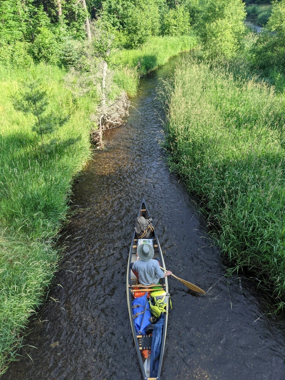
In homage of my completion of the Upper Mississippi River today, here is a photo from the humble beginnings of day 1:
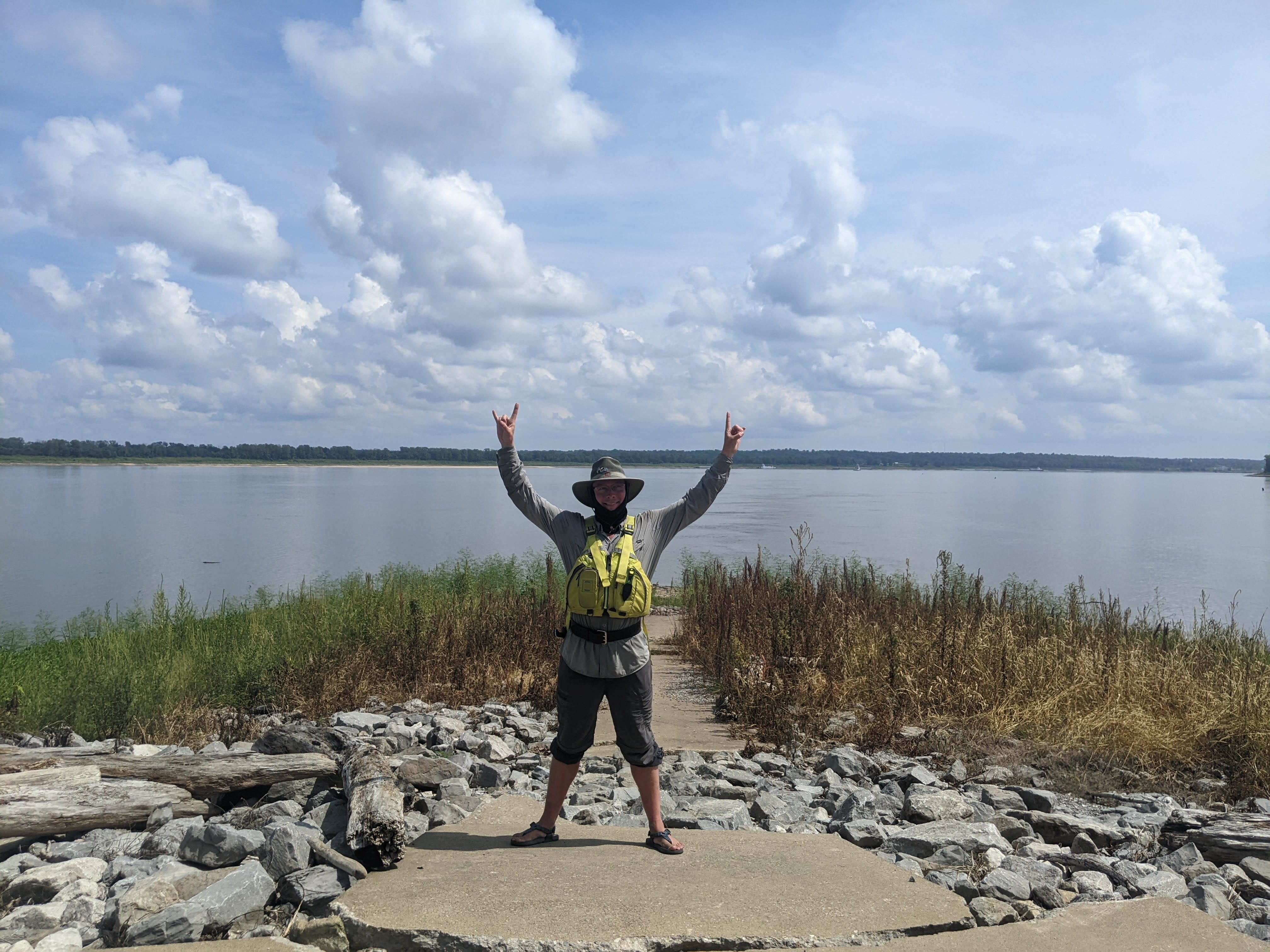
And here is the Mississippi River at the confluence of the Ohio, at Fort Defiance, IL. The scope and landscape is too large to even capture in one image, you’d need a 270 degree panorama or more!
From here on, I will use the Lower River Miles (LRM) to designate my progress. This number counts down to the Head of the Passes, which is past New Orleans by 95 miles.
Illinois has been my left hand neighbor for the previous 581 miles, but today I have entered a new state: Kentucky. It will be my neighbor for only a few short days before I move onward to Tennessee. I am camped on Island No. 1 tonight, which is my first campsite in Kentucky. It may well turn out to be my only one.
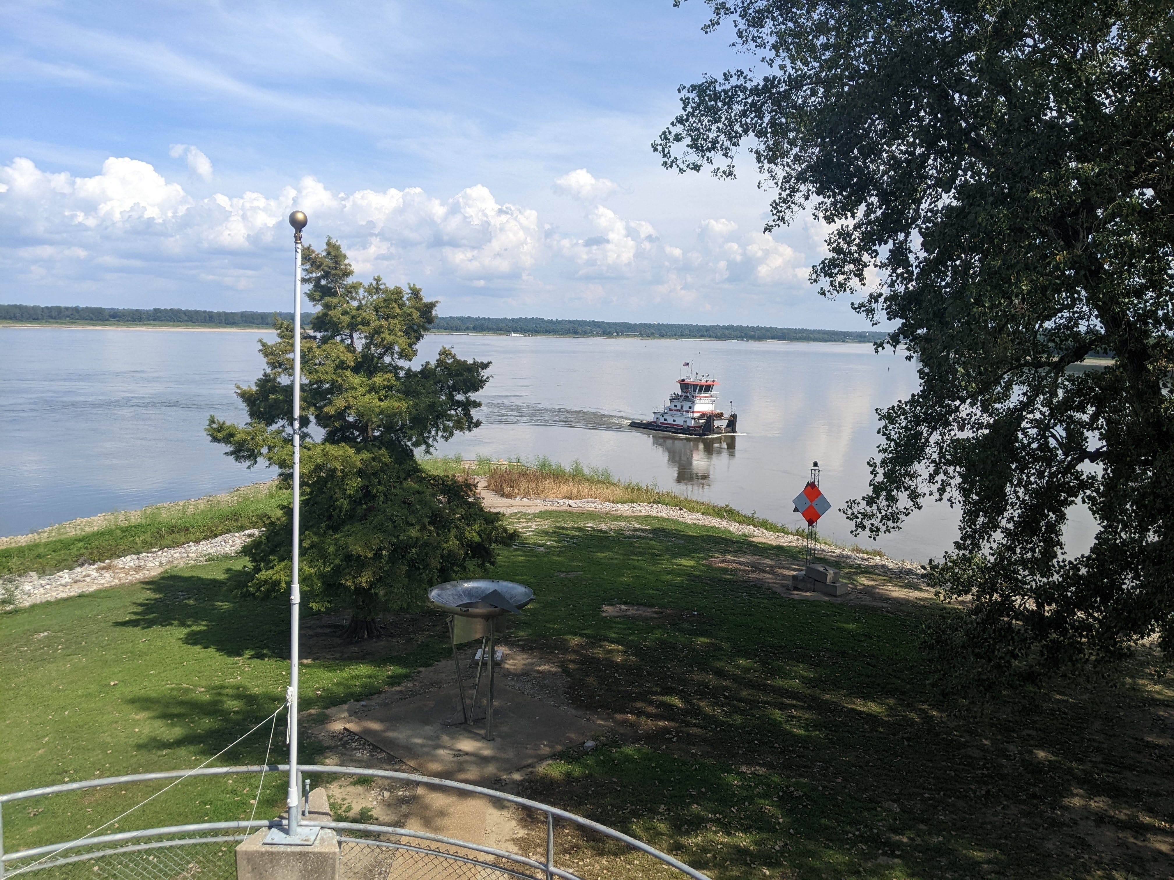
Fort Defiance
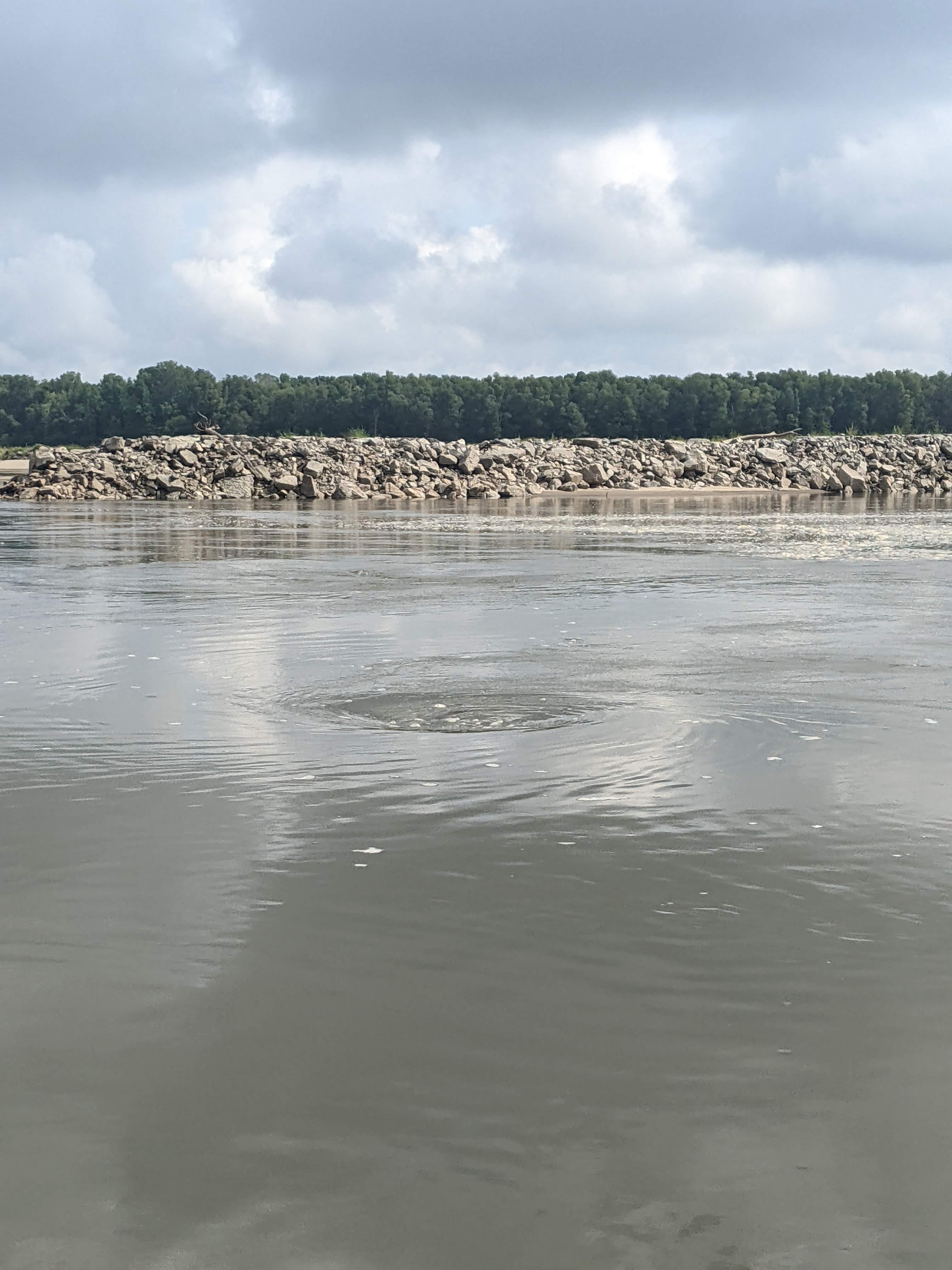
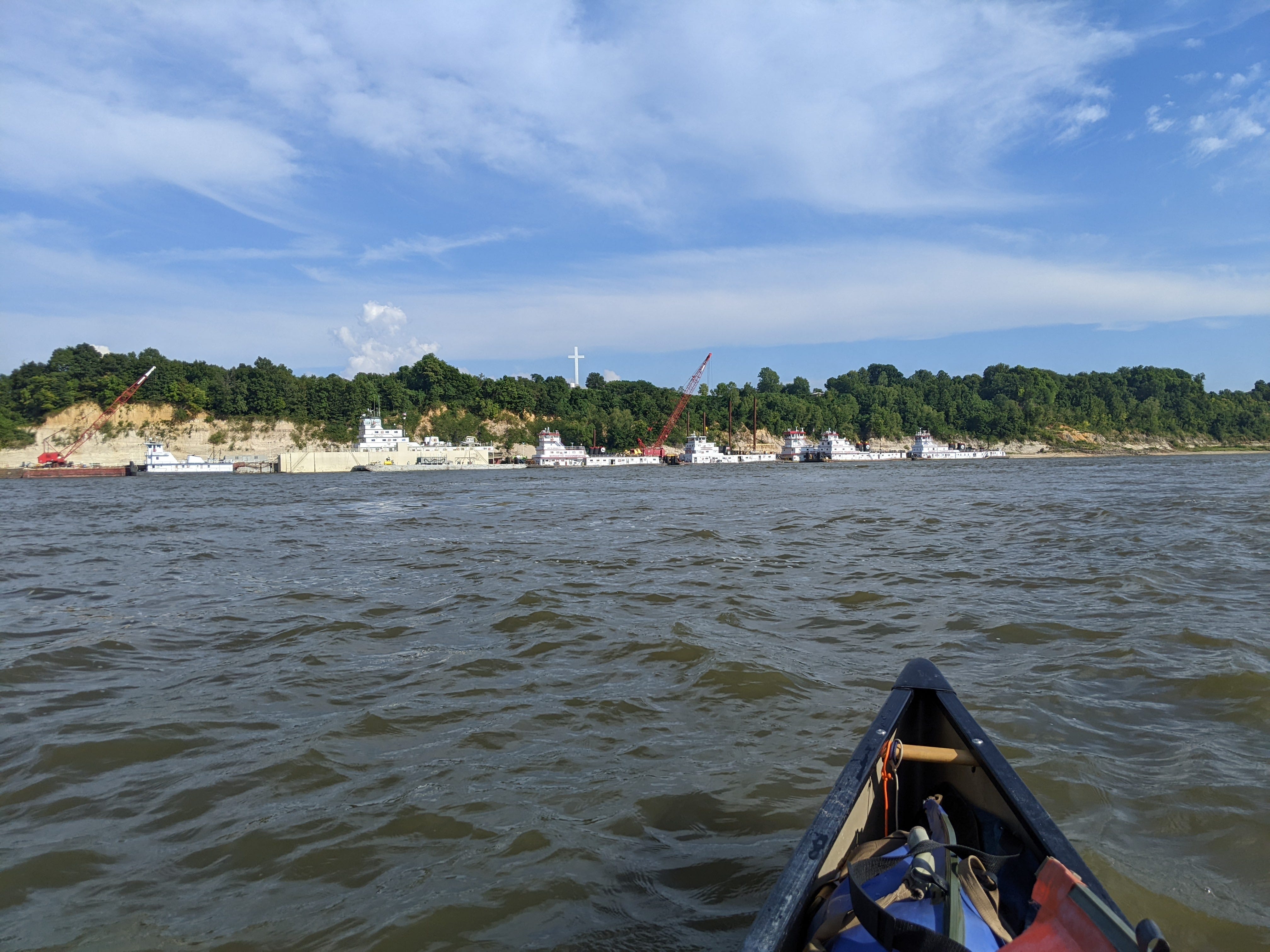
Approaching the Ohio, I knew there was a stop I wanted to make: Fort Defiance. It’s the last southern bit of Illinois before it gets snuffed out of existence by the meeting of the two rivers.
Fort Defiance is a strategic spot, militarily speaking. During the Civil War it was used as a blockade against southern trade. And it is where General Grant departed on his Vicksburg Campaign, traveling along the Mississippi with one flank, and the Ohio to the Tennessee and the Cumberland with another.
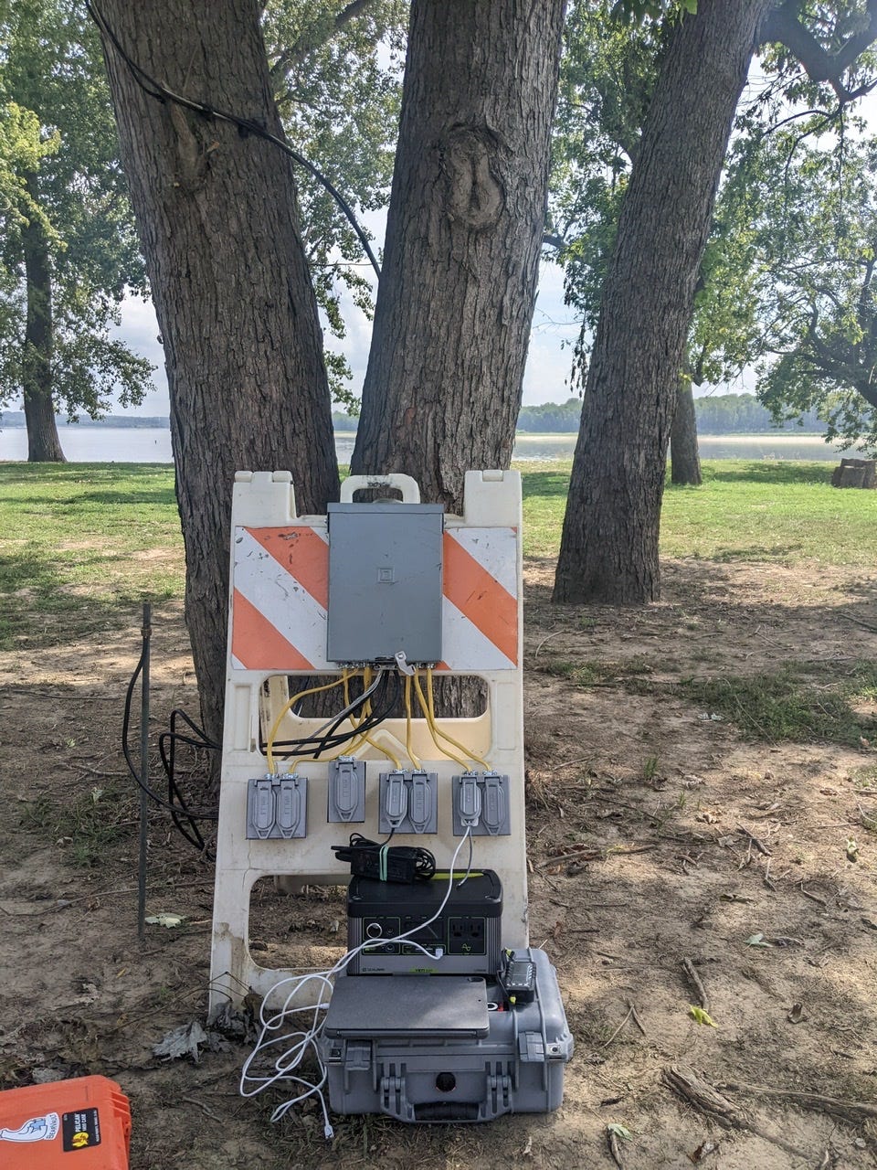
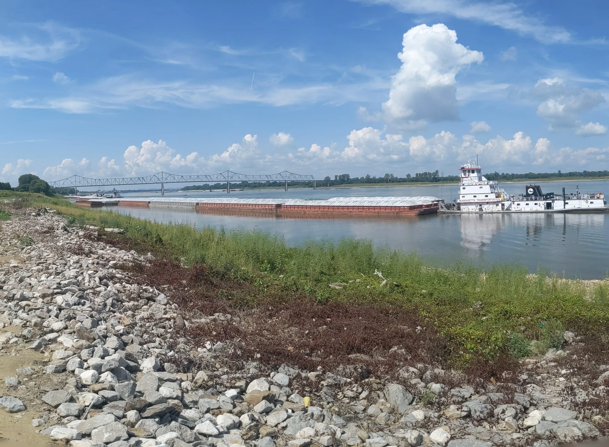
I got lucky at Fort Defiance — I went looking for a place to charge my batteries and found one! Usually there is not anywhere to charge here, but there were some temporary hookups for a festival, so I got to make use of those. Waiting for my gear to charge, I spent the afternoon lazing at Fort Defiance, taking in the views.
There is a constant whir and commotion here (even on a federal holiday), and lots of nice people passed through. As a result, I didn’t do a big day in terms of mileage, but my gear is nice and charged, and now I’m ready to carry on to Memphis!
It was a good day on the River.
Photos from the Day:
River Log Day 58
948 - Island No. 1 : Cairo Gauge 15 yields minimal access to Island No. 1. Water only touches the island at one spot, and it's still a bit of a hike to shade.
Love the two photos of Lake Itasca on Day One and the massive confluence of the Mississippi and the Ohio. What a contrast!
Congrats on reaching another milestone! Great photos!
Safe travels on the now even more mighty Mississippi!