


Day 7 - Winnibigoshish

No, nothing bad happened, I just didn’t have service last night to post! Read on below.
Day 7: Becker Campsite → Leech Lake River Camp
Date: July 15th, 2022
URM 1248 → URM 1214
Distance today: 34 Miles
River Time: 14 hrs
Today I got a good and healthy voyageur start! The previous night I had set my alarm for 4am. But I awoke by myself at 3:05am. The thunderstorms that had drenched my tent earlier in the evening had now passed. The sky was clear and the moon was shining behind the trees; everything was still. Knowing that I was already amped up and would be unable to get back to sleep, and wanting to take advantage of the calm weather, I started packing up my camp at 3:07am. My canoe was loaded and on the water by 3:45. I did the last ~2 miles from Becker’s to the entry of Winnibigoshish. By the time I was on the lake proper it was maybe 4:30am. I can’t guarantee it, but I believe I was the first person on the water that day. I started to see other boats around 6am.
I was guided by the light of the (almost) full moon for the first 2 hours of my paddling today.
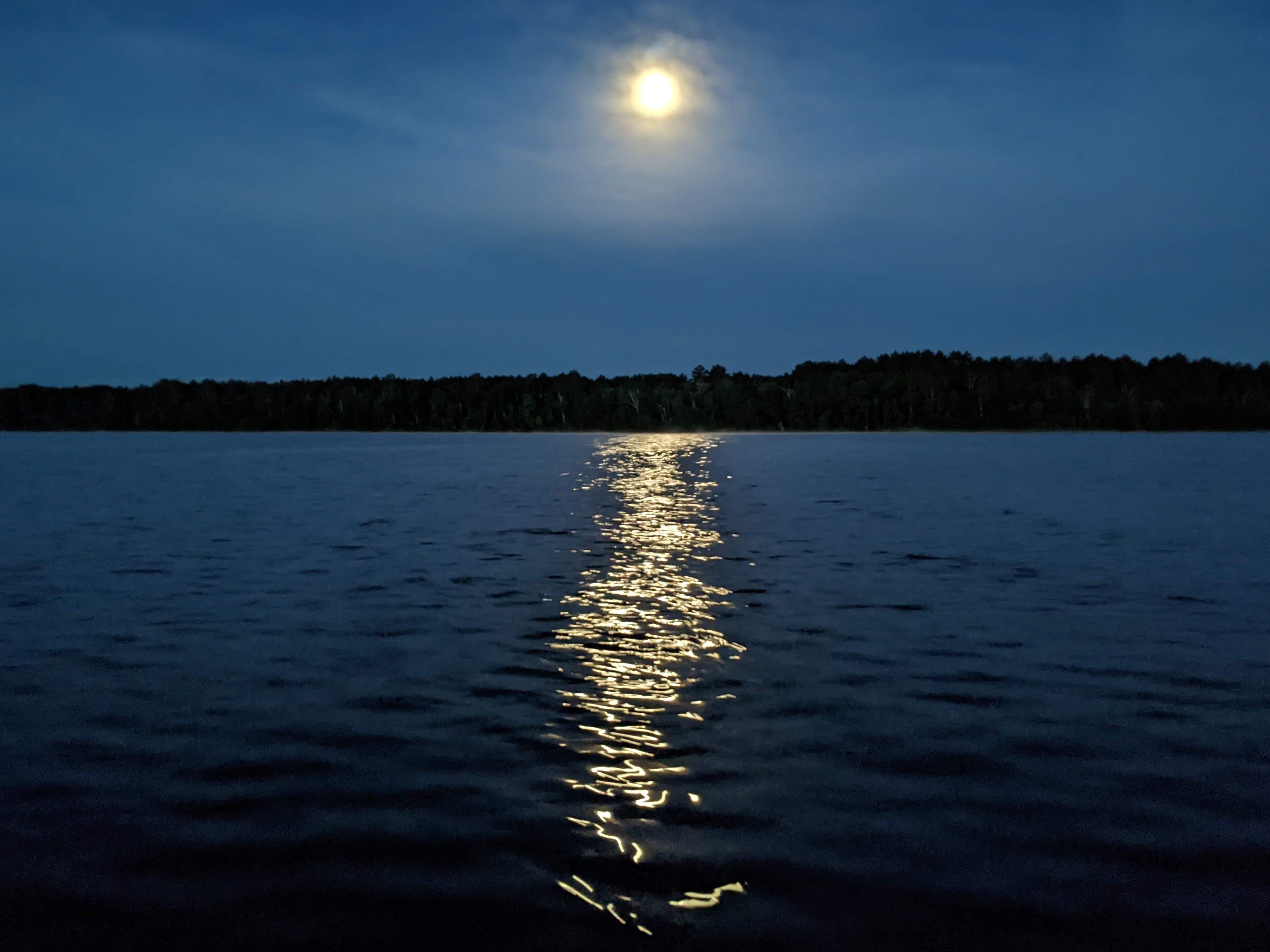
When I arrived on the massive lake, there was a light breeze making small ripples on the water. Perfect. I set off to cross Lake Winnibigoshish.
The Lake
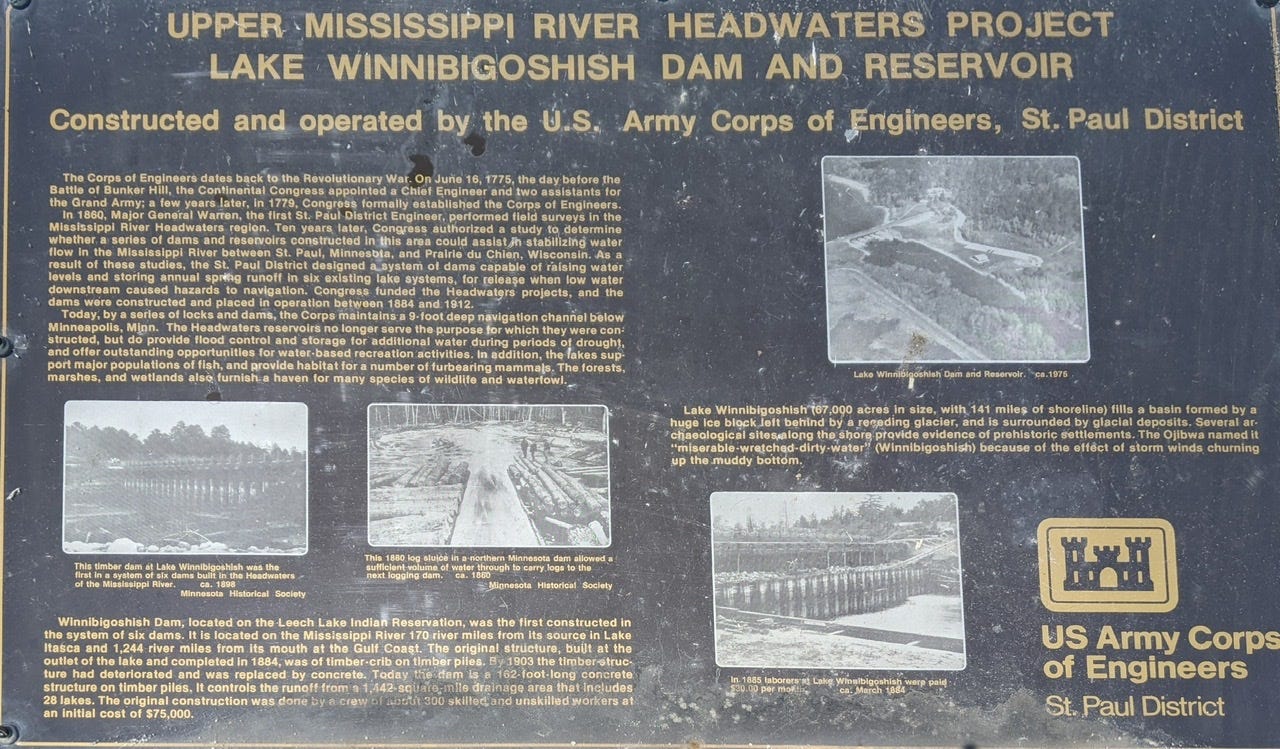
Speaking of Winnibigoshish, it’s an Ojibwe word meaning “miserable-wretched-dirty-waters” due to the churning of the mud and dirt in the lake when it stormed. This is due to the fact that many of it’s waters are shallow. However, they are even more shallow today than when it was given this name. In fact, Winnibigoshish is a completely different lake since 1884 when the Winnibigoshish dam was installed.
Winnibigoshish used to be 7 distinct lakes. In 1884 when the USACE installed the original dam, it flooded and connected the 7 lakes. It upgraded the dam to be made out of concrete in 1912 but the lake remained dammed up the whole time. You can get an idea of what the land looked like before the introduction of the dam by looking at Winnie’s depth chart:
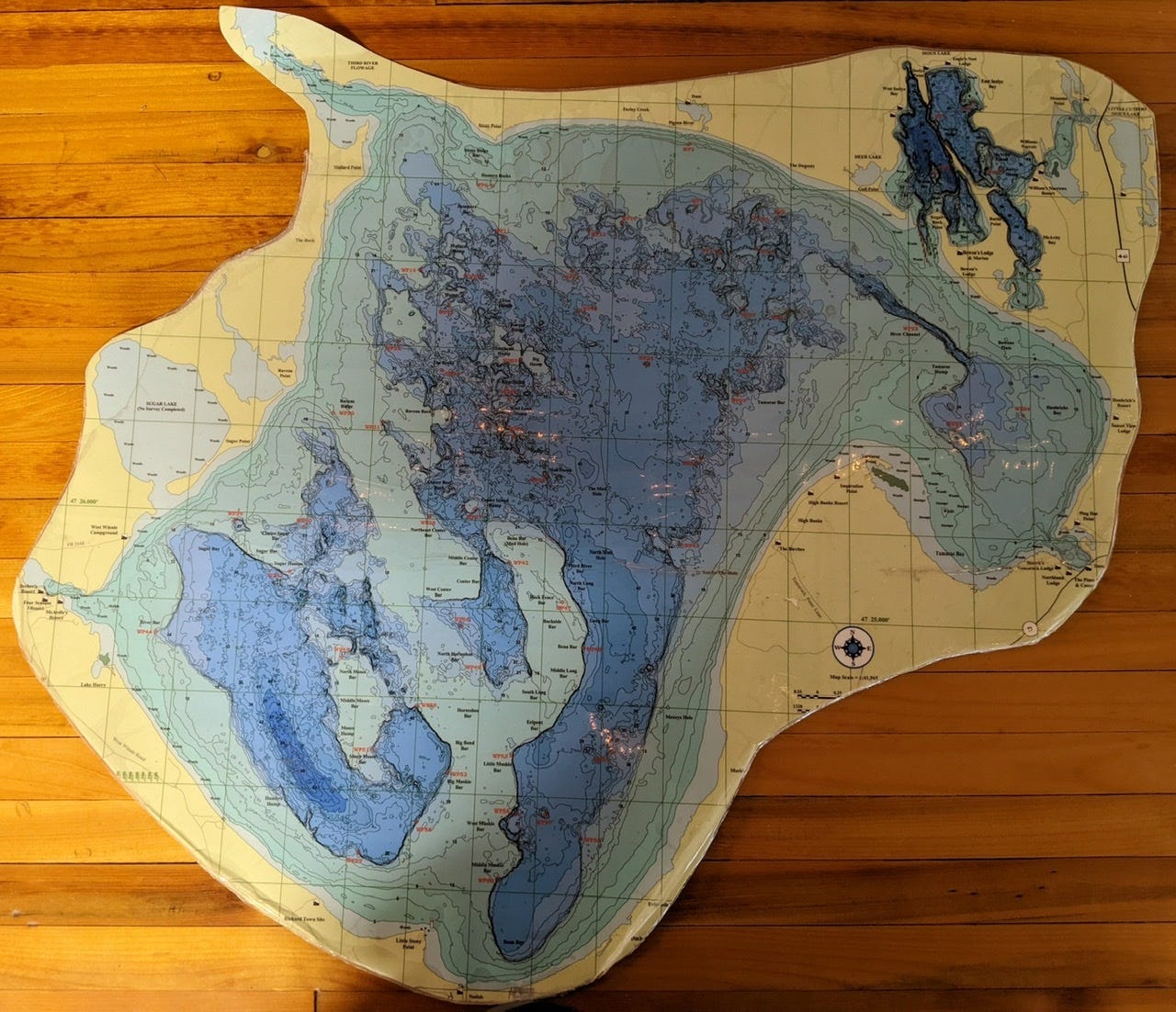
The lighter blue/greenish sections are under 20 feet deep, and were all land prior to 1884. There are records of farmers on these lands prior to this time.
For some more info about this area, see below:
The Paddle Across
When I arrived at Winnibigoshish, it felt appropriate to take a moment. I stared in awe at the expanse before me, and made an offering to the lake and to the wind spirit, asking for safe passage and giving thanks.
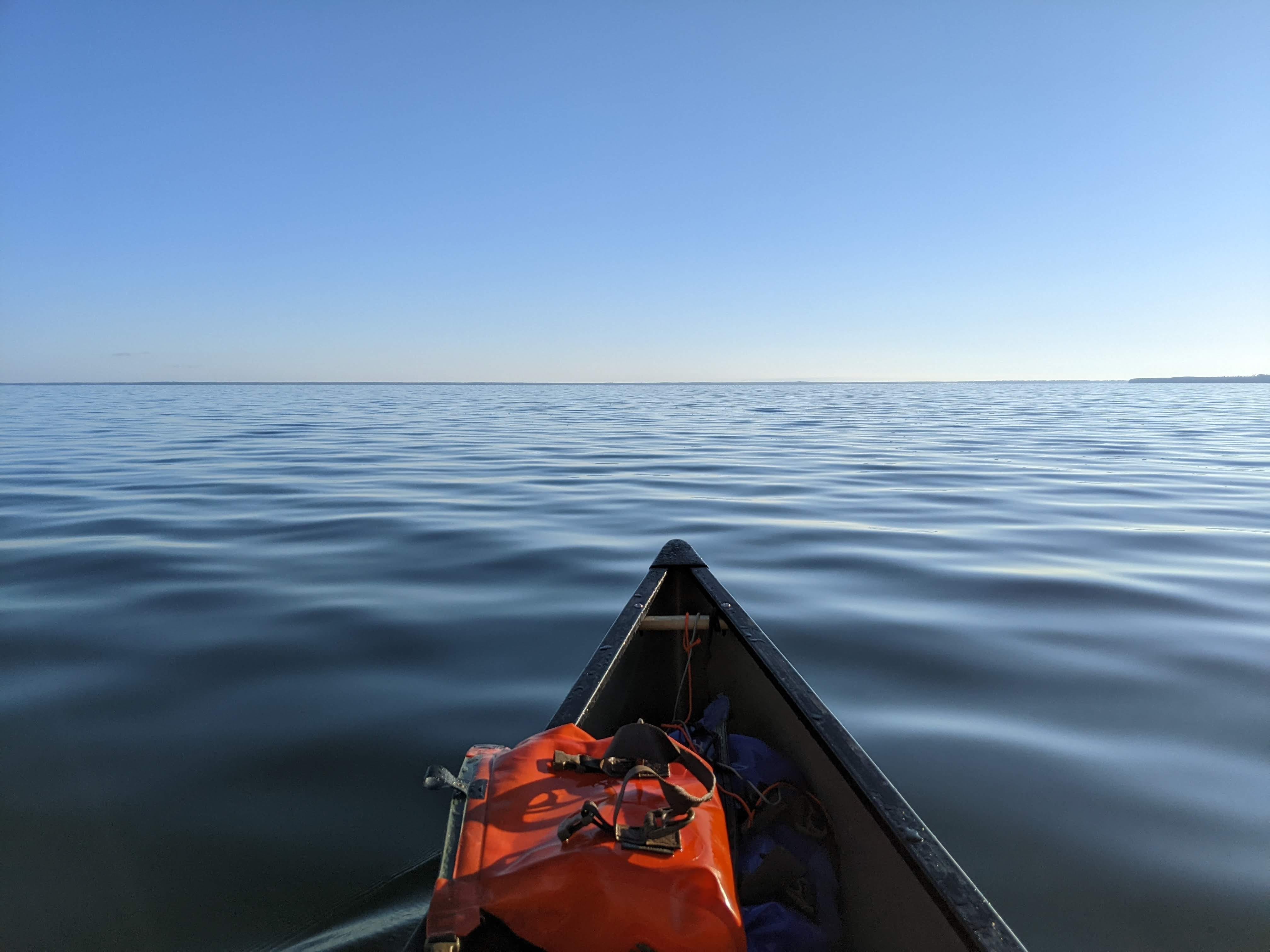
I was paddling by the light of the moon, towards the southern shore. It was very tempting to cut across directly, I could see tamarack point tempting me, but I stuck to the game plan and started along the southern route. Conditions can change on a dime on Winnibigoshish. Slowly 2 things started to happen. The sun started to brighten the sky on my left side, and the winds started to pick up, ever so slightly. The water got a bit choppy, and I was thankful I was taking the more conservative route. By the time I had neared Little Stony Point, the sun was just rising in the sky on my left, while the moon remained on my right. It was a cool asymmetry. Nearing the point, the wind was dying down again. I’m not sure if this was just luck, or I was in the shadows of the wind blowing from the east by this point. In any case, I decided to make my crossing. I turned 90 degrees and headed straight towards the rising sun.
This portion of the paddle seemed to drag on and on. Those trees just would not look any closer. I took breaks in this stretch just to contemplate how vast the lake was around me, and what a speck I was in this vast waters. It’s not every day you get to be in the middle of the 5th largest lake in Minnesota.
At last I made it to the eastern shore of the lake, well south of Tamarack point still. The shore here was rocky (man-made) and very shallow. Clearly what I was now paddling on would have been dry land before the dam. Getting around Tamarack Point, I encountered a stiff headwind. I was now in the smaller section of the lake, but by this point the wind was all grown up and it was the more challenging portion. I was glad I started paddling early so I woudn’t be facing this wind on the large section of the lake!

Having rounded Tamarack point, I now had my destination in my sights: The Winnibigoshish Dam. I had heard reports that the map could not be trusted for this portage, and I confirmed that the portage the map references no longer exists! I took out on the other side of the dam, and used my portage wheels to walk along the road that crosses the dam. The original portage was 297 yards, I’d estimate this ‘new’ portage at more like 800 yards. My strategy going into this trip was to be extra lightweight for the section from the headwaters to Minneapolis. This included leaving all non-esentials, and carrying primarily dehydrated food for dinners (shoutout to John and LaNae Abnet!!). Needless to say, I was very appreciative of this decision as I made the longer-than-anticipated portage!
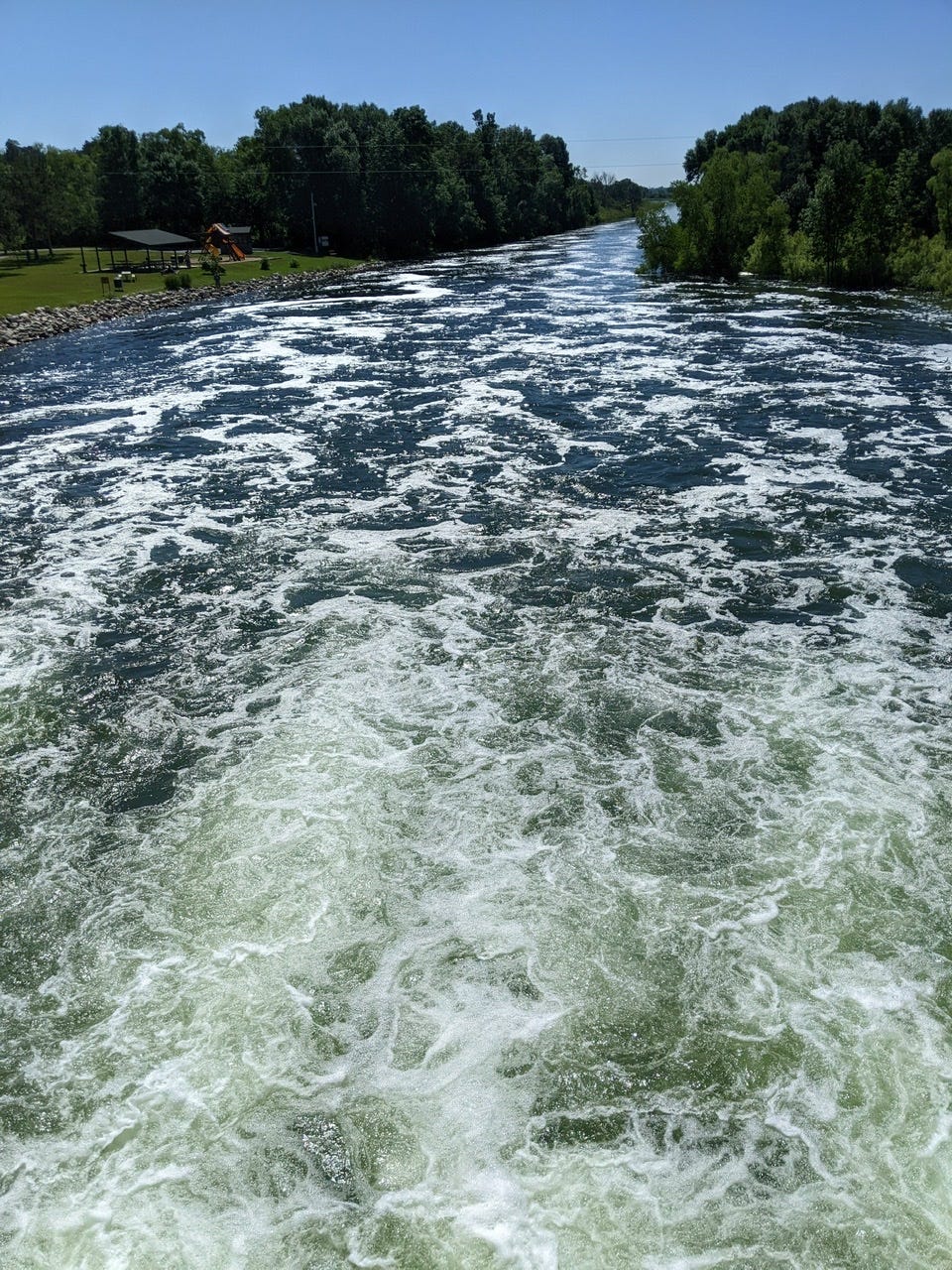
I had a quick lunch, then it was back on the water. This next section was fun. The channel had widened significantly since a few days ago, and there was finally some current on my side! The River was wide and I was having a blast paddling with some flow!
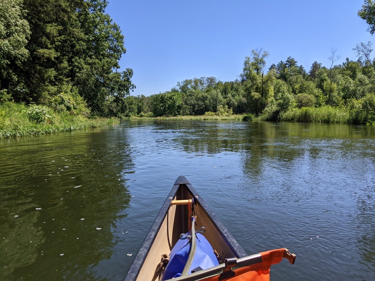
It was still before noon and I was feeling good, so I decided to go all the way to Leech Lake Camp, at the confluence of the Leech Lake River. Arriving late and exhausted, I cooked a quick dinner and went to bed! It was my longest distance day so far, but a very good one!
River Log Day 7
1243 - Tamarack Point: There are 2 boat ramps in close proximity. Southern one is a path leading to campsites, very buggy. Northern one is a better break spot.
1230.8 - Winnie Portage: Disregard map description. Portage trail that is LDB no longer exists. Exit at Pines Resort ramp, RBD, then walk across the dam on the county road.
1225.6 - Crazy James’ Point: Ricey entrance, but beautiful site on a small bluff. Good views in red pine + birch forest. 1 table, 1 latrine. Very buggy.
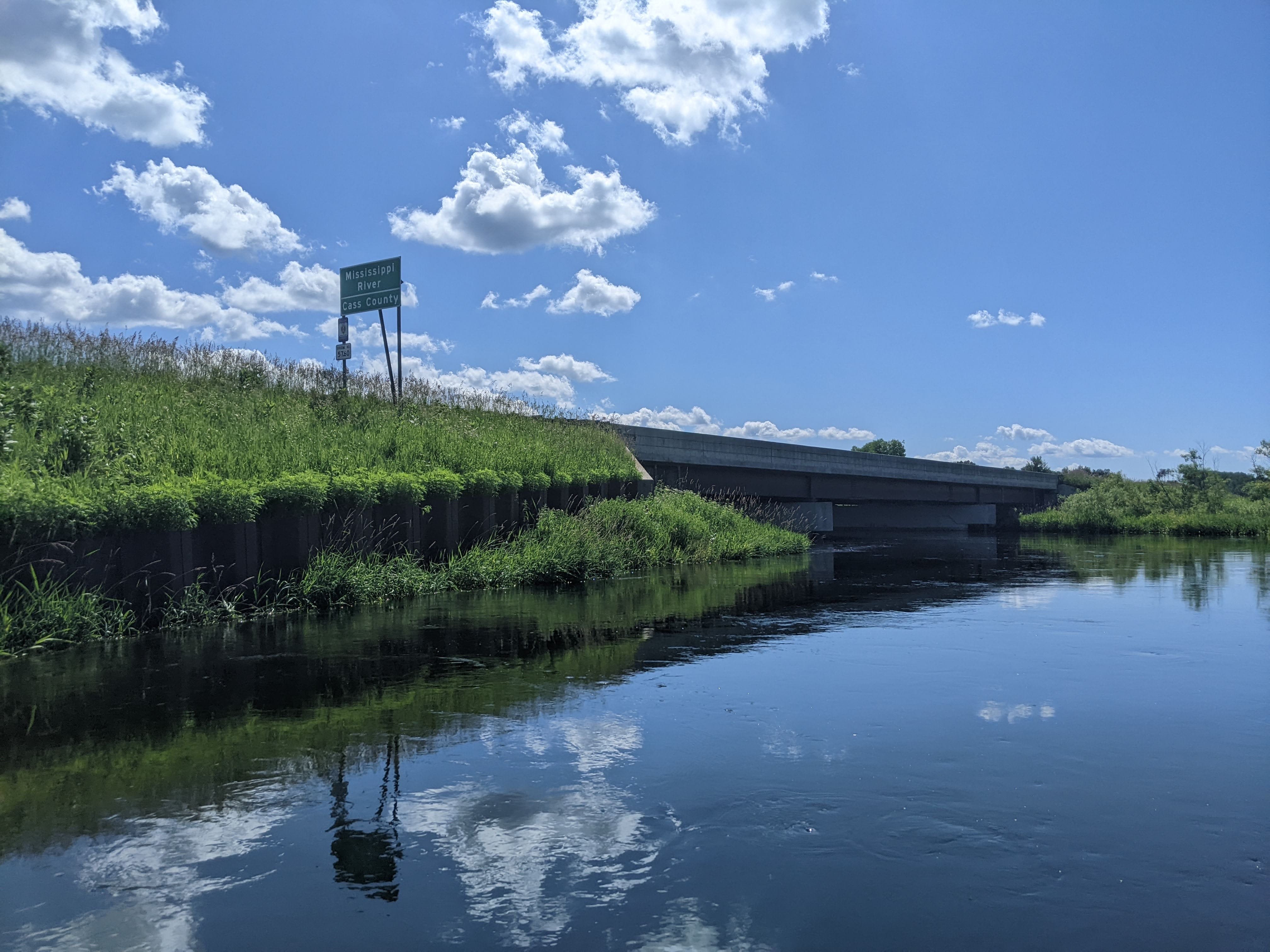
1213.6 - Leech Lake Campsite: Located at confluence of Leech Lake River. Primitive site, no tables, shelters, or latrines. Busy boat ramp, expect traffic. There is a small canoe-only landing upstream of the ramp, which leads directly to camping area.
My goodness! You are paddling soooo fast in the video!!