

Days 10 & 11 - A New Kind of River
Days 10 & 11 - A New Kind of River

Day 10: Grand Rapids → Swimming Bear Camp
Date: July 18th, 2022
URM 1179 → URM 1150
Distance today: 29 Miles
River Time: 9.5 hrs
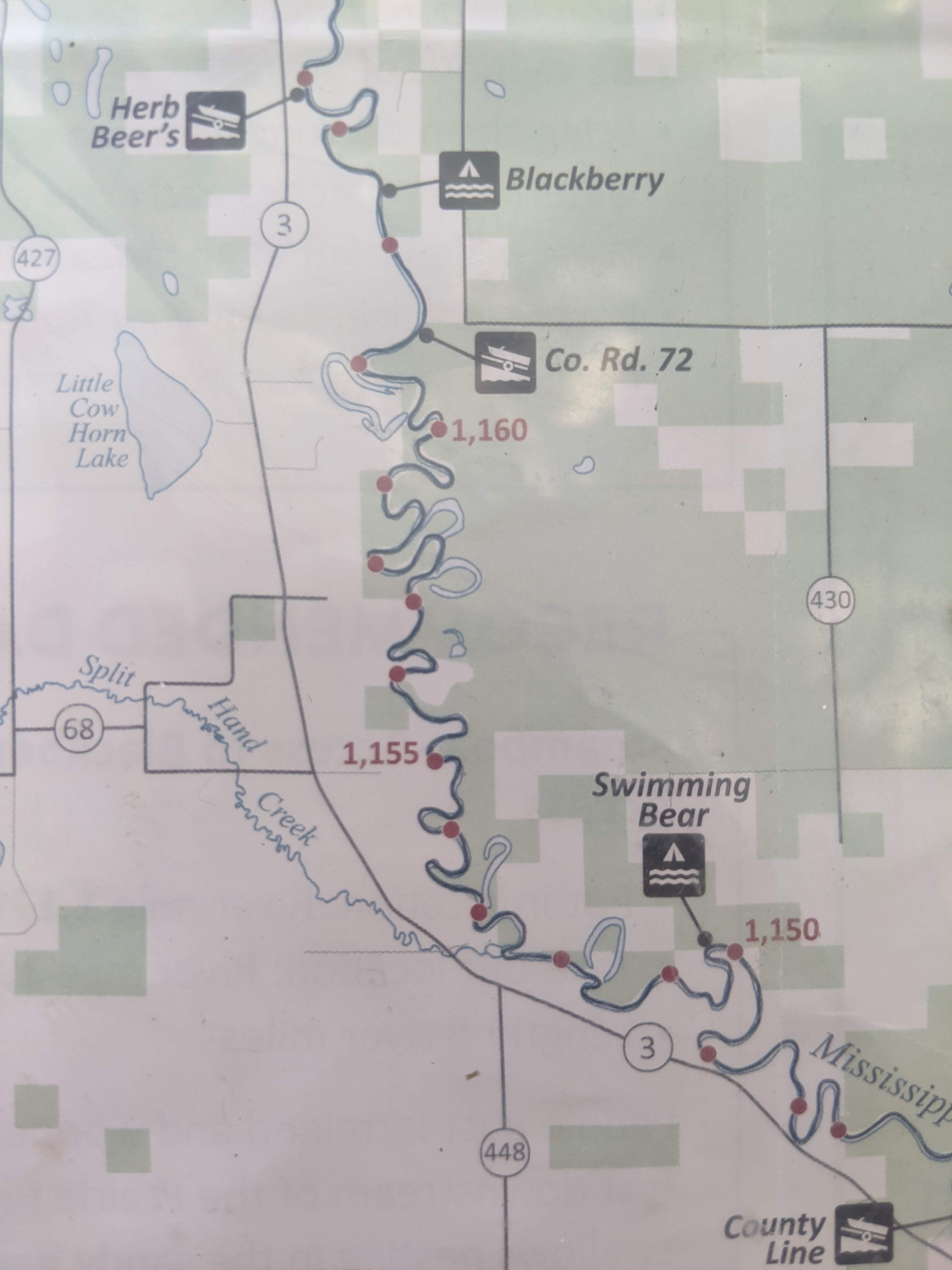
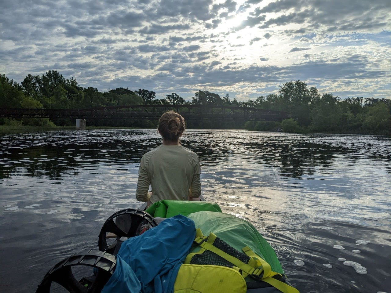
New day, new map. You can follow along with landmarks here now: https://files.dnr.state.mn.us/maps/canoe_routes/mississippi3.pdf
Today was all about change. The Mississippi River changed dramatically after the Blandin Dam. Whereas before it was sluggish wetlands and bogs, now we were winding our way through dense forest. Whereas before there sun and open space, now there is a bit of shade. Whereas before there were prolific amounts of water fowl, now there are prolific amounts of mosquitos and deer flies. And whereas before there was very rarely any dry ground between the reeds, we had increasingly solid earth, rock, and the occasional sandbar.
I think I can finally confidently say I’ve left the headwaters area of the the River behind me. The channel is substantial now, and I won’t ever risk loosing it again, and a fallen tree can no longer block the entire River. The Mississippi is growing up fast. In addition, there is beginning to be enough volume to where the first inklings of eddies, whirlpools, and boils are appearing. Small as they are now, they will grow.
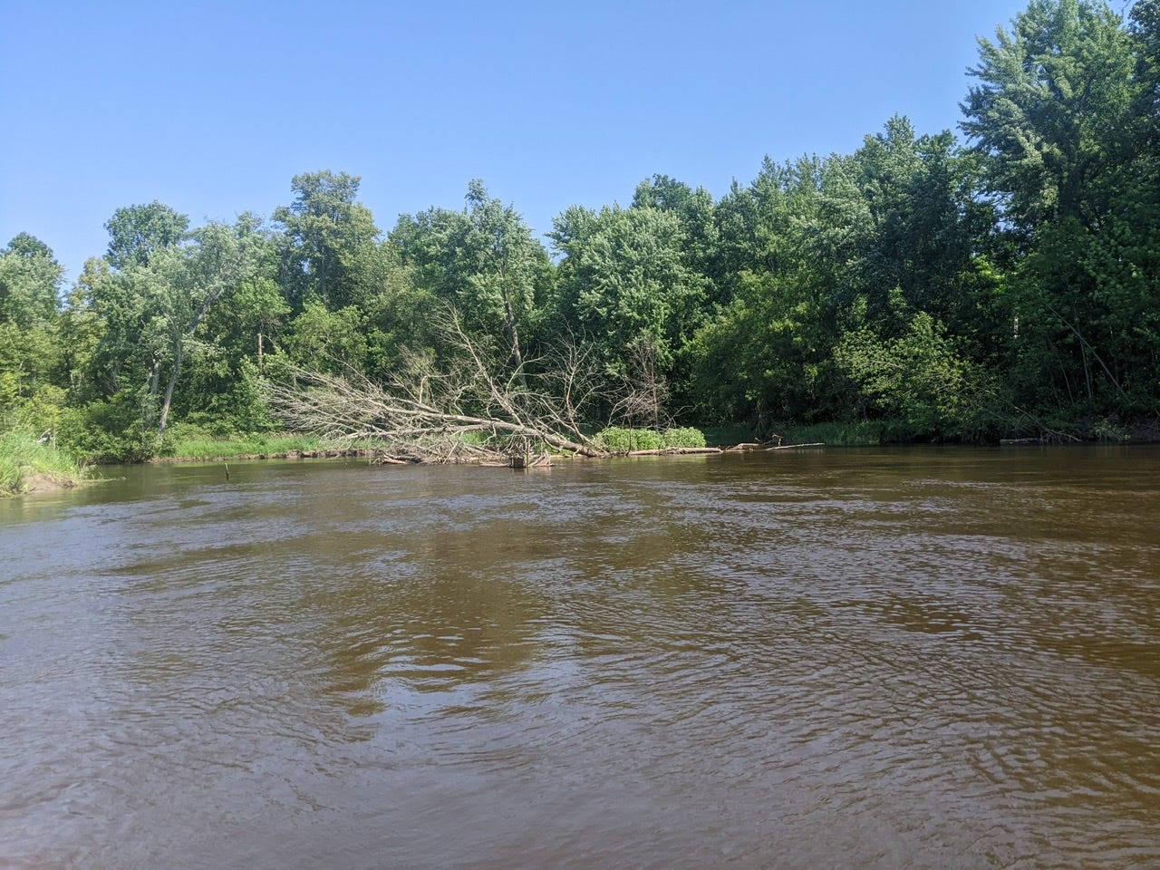
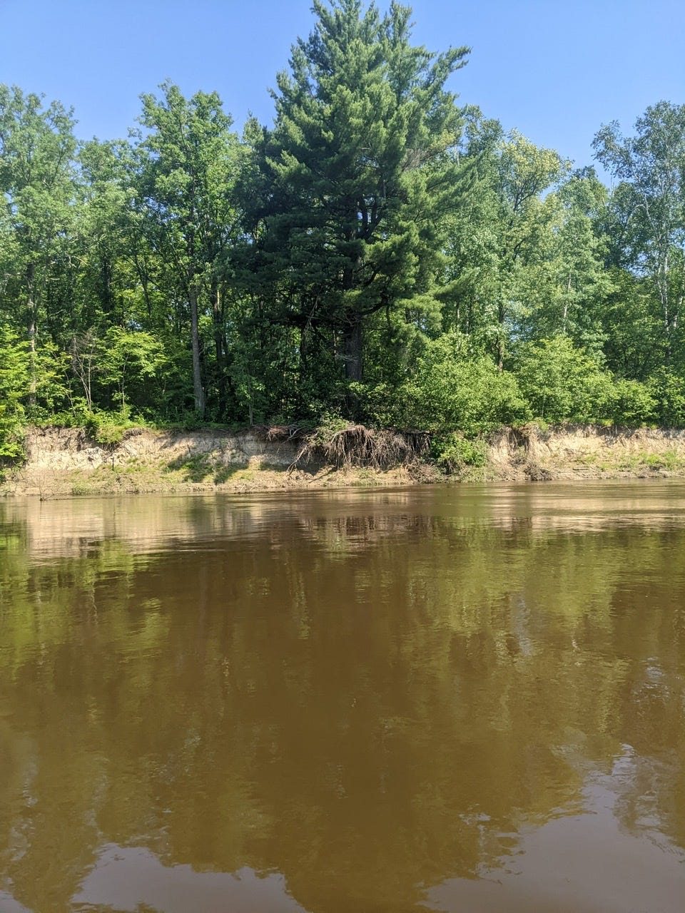
One major difference in this stretch was the severity of the meanders. The River looped on itself all day long, so much that for every mile a crow would fly, we’d travel 2-3 via the River. Numerous cut-offs and chutes are forming and re-forming along this stretch of River as well. It’s a dynamic stretch of River that is changing every year! This is one of the few regions where the Mississippi River banks are not ‘stabilized’ and locked in place by the U.S. Army Corps of Engineers, thus it is free to carve into the earth naturally, sculpting and re-sculpting banks via the power of relentless flow.
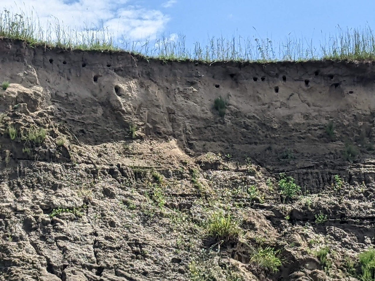
Related, today was also the first appearance of cutbacks and erosion. The steep bluffs and erosion were stark in this section:
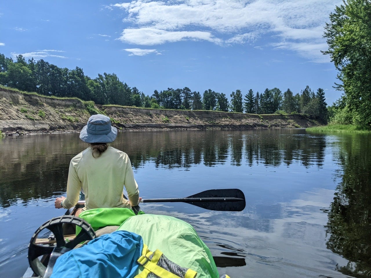
Because the River is so large now, it can create its own microclimates of sorts. Although most of the northwoods in this area is pine forest, right along the riverbanks we are surrounded increasingly by elms, maples, birch, and sometimes willow. There are still pines, of course, from time to time, mainly on higher ground. It’s fascinating that the same River can have such a different flavor only a day later.
Kingfisher Kingdom
The birds have also changed upon entering this section. This area was also rich with kingfishers. There were hundreds of them today; it often felt like we were surrounded! All day long they flitted from tree to tree, skimmed the water and dove quickly for their meal, all while chittering their displeasure at our presence. They are very skittish birds, and thus difficult to get a shot of, but I managed to get this one on a nearby perch.
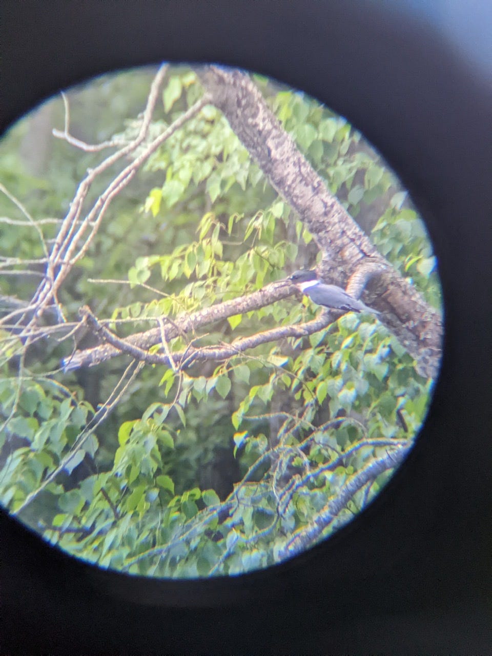
They were the kings of the River today, and we their humble visitors.
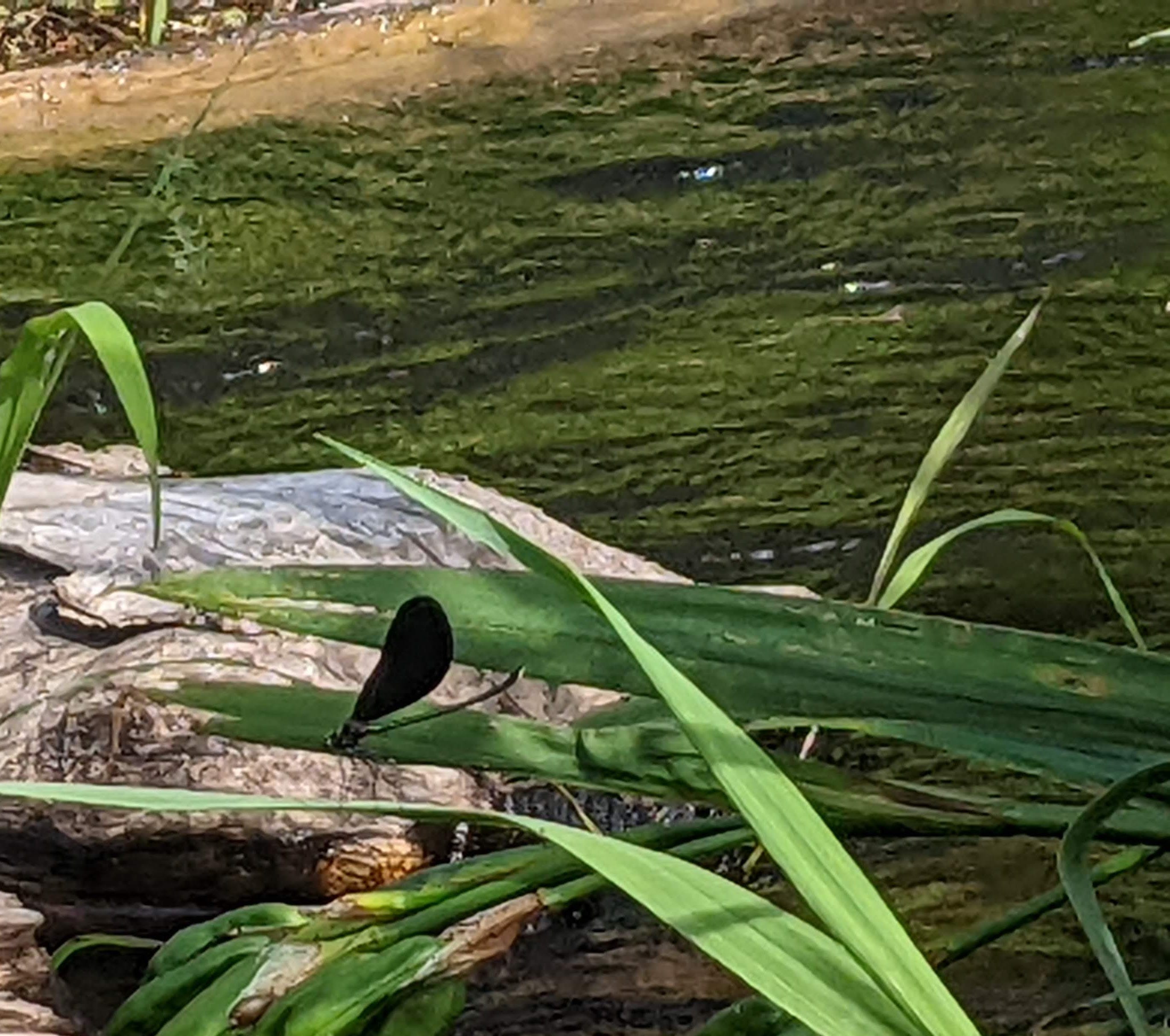
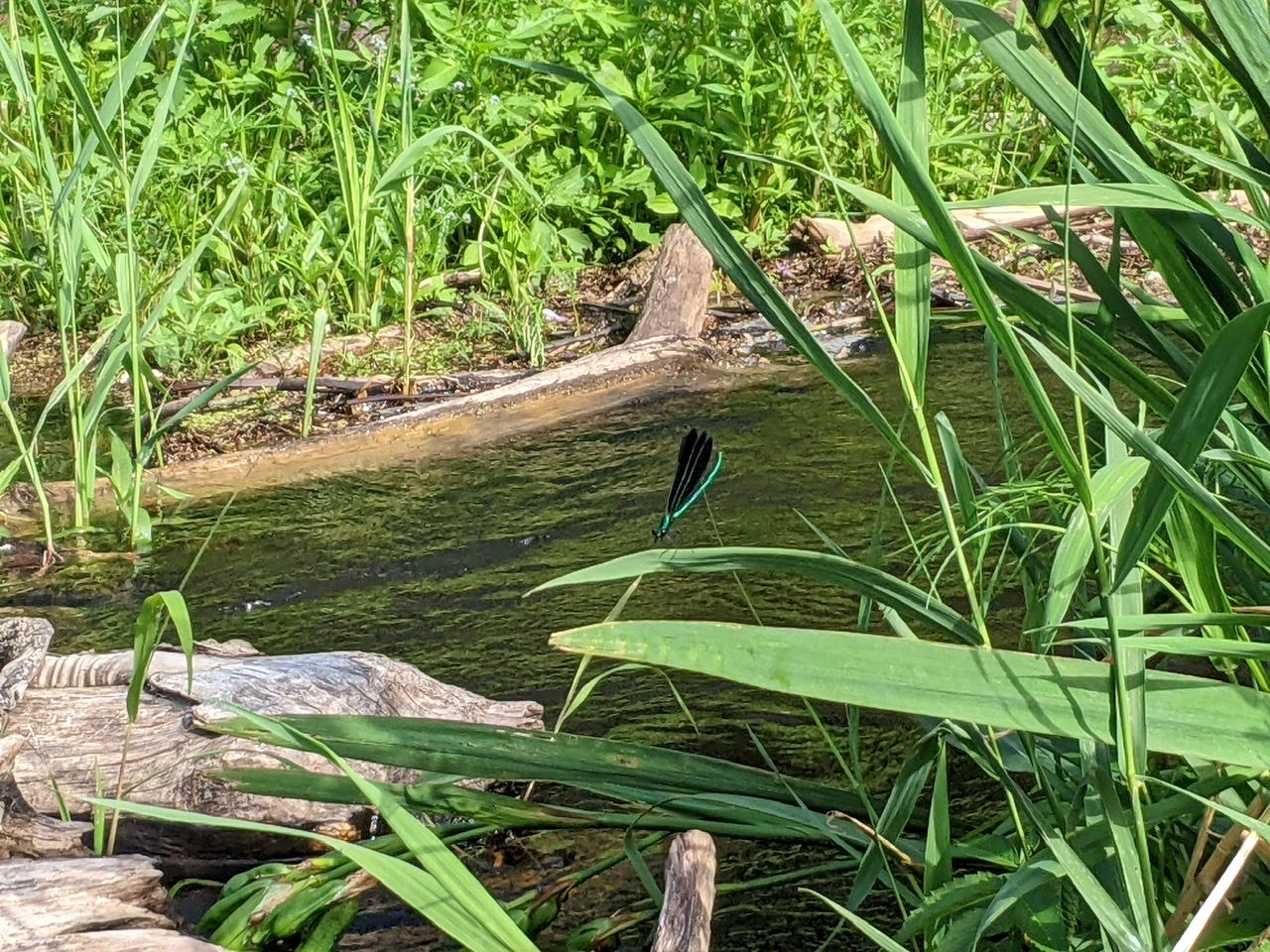
Ebony Jewelwing Dragonflies
This species I had seen only once so far on the trip, on the very first day. But they are such a unique and fantastic species, I have had my eyes peeled for them ever since! I finally found them again today, and in healthy quantities. The ebony jewelwing is a species of dragonfly with pitch-black wings and shimmering blue-green bodies. They are also indicator species for cold, clean water. (Thanks Janet for the ID and knowledge!)
Arriving at camp tonight, we had no idea it would be at such a unique site. Due to erosion, the Swimming Bear camp was dangling off the edge of a cutbank, with the roots creating a stunning display under the earth. It’s a bit spooky to set up a tent here, especially with storms rolling through, but mostly it’s just a really neat site. Who knows, in a couple of years this site could be washed downstream. I can’t say I’ve camped anywhere quite like this:
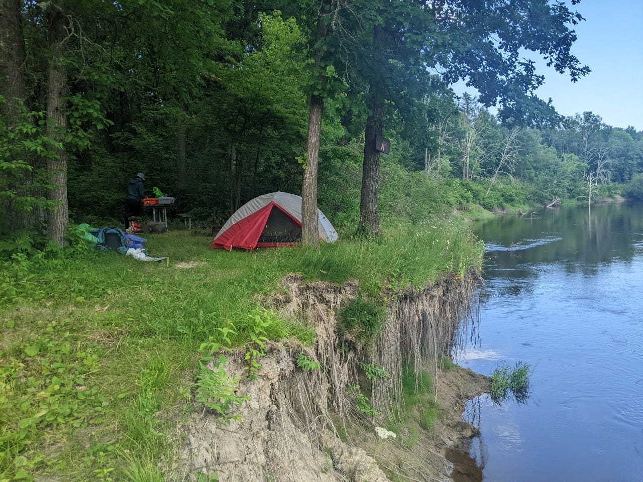
Goodnight and I hope the tent is still here in the morning!
Day 11: Swimming Bear Camp → Jacobson Camp
Date: July 19th, 2022
URM 1150 → URM 1140
Distance today: 10 Miles
River Time: 3.5 hrs
3 meaningful things happened today:
We passed the 47th parallel. The Mississippi has finally rounded it's big yawning question-mark corner and is flowing south. It feels like progress! For context, I'll pass the 46th parallel near Little Falls, MN. On a long trip of about 100 days, it’s important to find small victories day to day.
I have now gone over 200 miles downriver! Lake Itasca sits at 1342, and Jacobson camp at 1141. That's 201 miles! And approximately 2/23rds of the Mississippi completed!
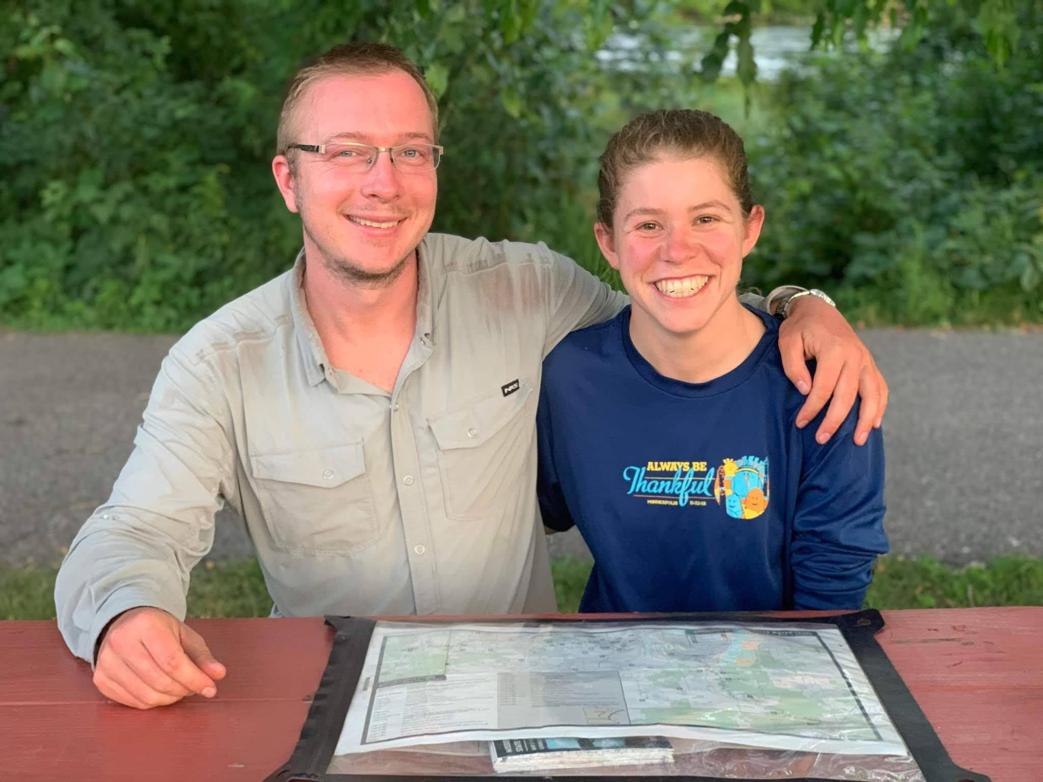
It's my birthday! I turn 30 years old today and can think of no place I'd rather be.
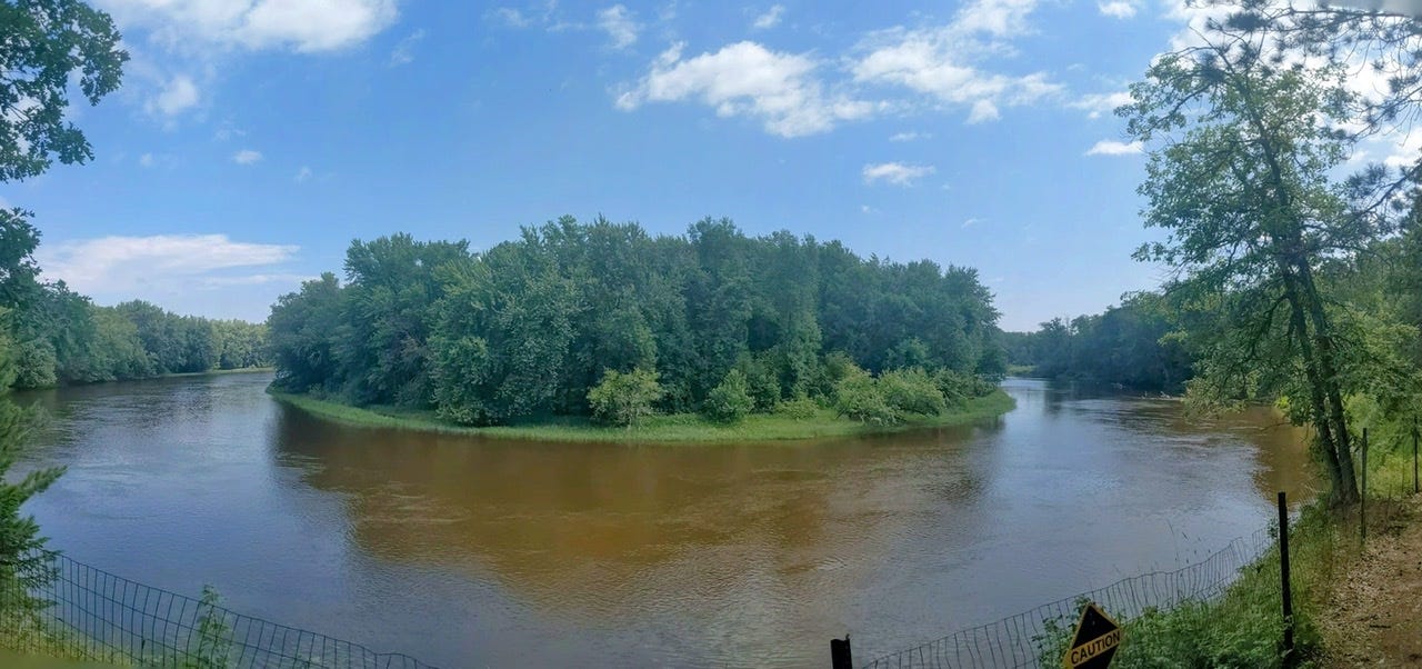
Today we continued our way through the meanders and arrived at Jacobson Site. It is situated on a high bluff with a glorious view of a 180-degree bend in the River. We will call it a day here, even though it’s only 11am! There are thunderstorms rolling in this afternoon, and we will hunker down and wait them out. A good day on the River.
Some More Photos

River Log Day 10
Sucher’s Site: Very sloped. Very cramped. Room enough for 1 flat tent spot. Boardwalk leading to latrine. 1 picnic table.
1168-1150: The first sandbars begin to appear, mainly on the inside of very tight bends. They’re not much yet, baby sandbars. They make great spots to lunch or camp in a pinch.
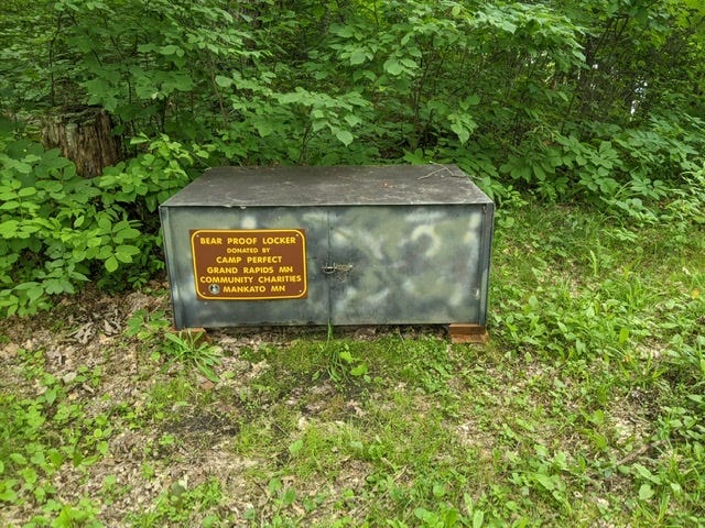
1162 - Blackberry Site: Decent site with stairs to landing. Nestled in the woods, quite buggy. 1 picnic table, 1 latrine, 1 bear locker.
1156: Cut-off forming on this bend, shaving off .5 miles. Will be the main channel in a few years! Really fun, fast, and narrow.
River Log Day 11
1150 - Swimming Bear Site: Decent site upon a tall cutbank. Being eroded heavily. Ma not exist in a few years. Old landing washed away, new landing has been cut a bit upstream from campsite. Buggy.
What an adventure, I'm so excited to follow along! Tell Karen that Mathilde says hi!
Happy Birthday! I enjoyed learning about the dragonflies cold water. Do you think the erosion you’ve seen is natural? Because the Army Corps of Engineers has not stabilized the area?