

Days 14 & 15: Ospreys, Softshells, and Cedar Tea!
Days 14 & 15: Ospreys, Softshells, and Cedar Tea!
Plus my longest day yet!

Day 14: Palisade, MN → Aitkin, MN
Date: July 22nd, 2022
URM 1086 → URM 1056
Distance today: 30 Miles
River Time: 10 hrs
Phew, today really felt like a slog. It was hot, humid and sunny. I was dipping my hat in the water to cool off all day. There are no real good swimming beaches yet, but I did go swimming twice and that made a huge difference, too. Nature’s air conditioning!
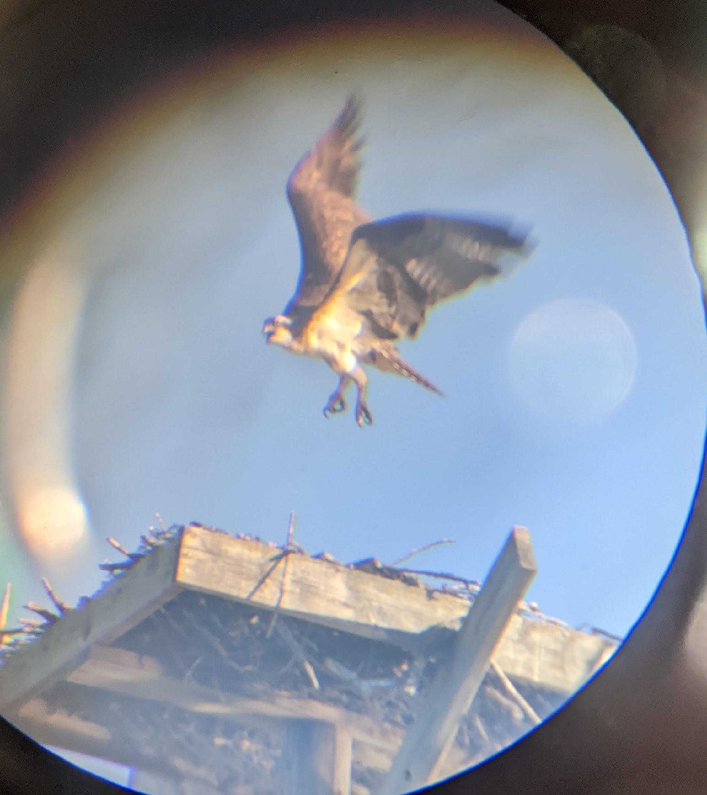
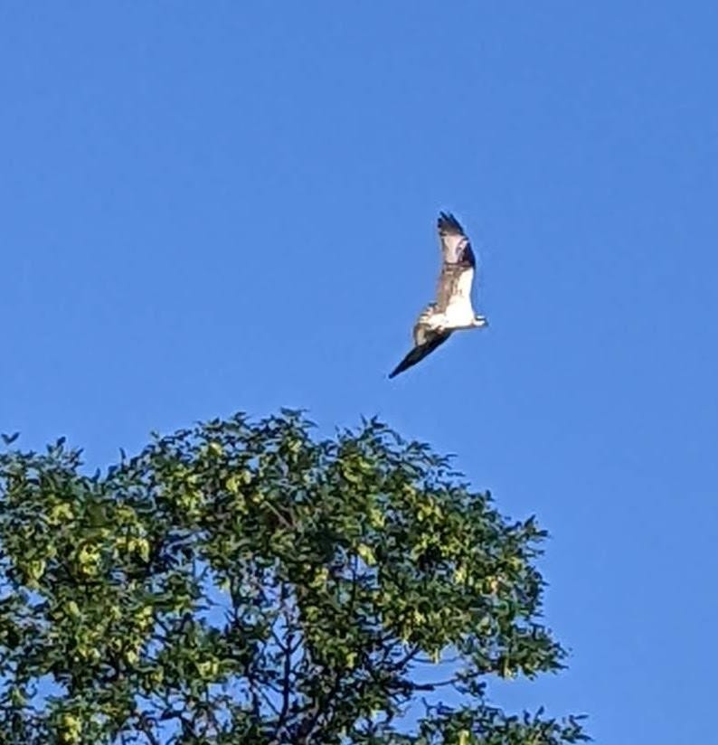
And although the day was long and I am exhausted, I did see some pretty neat things along the way!
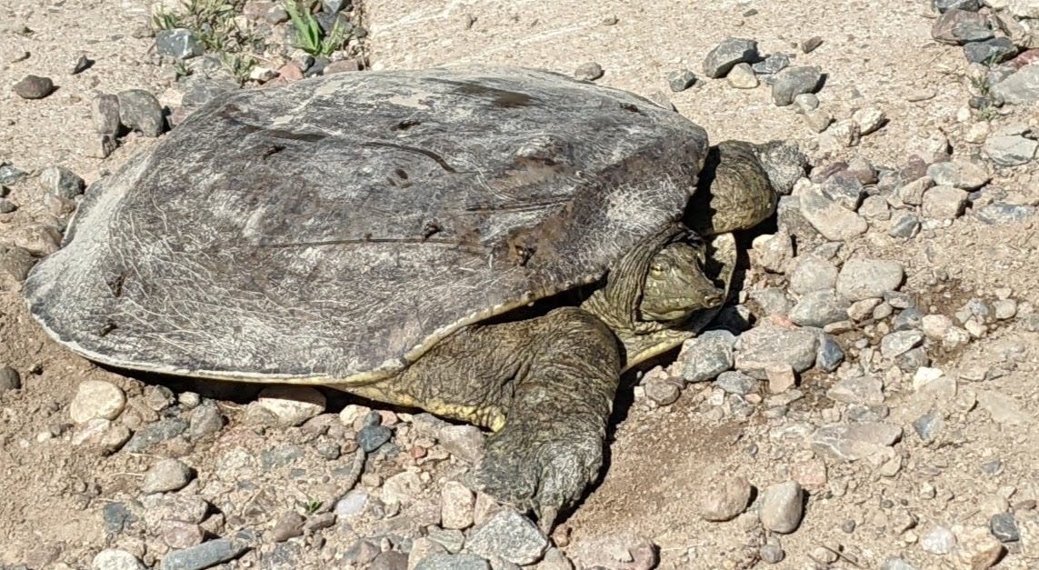

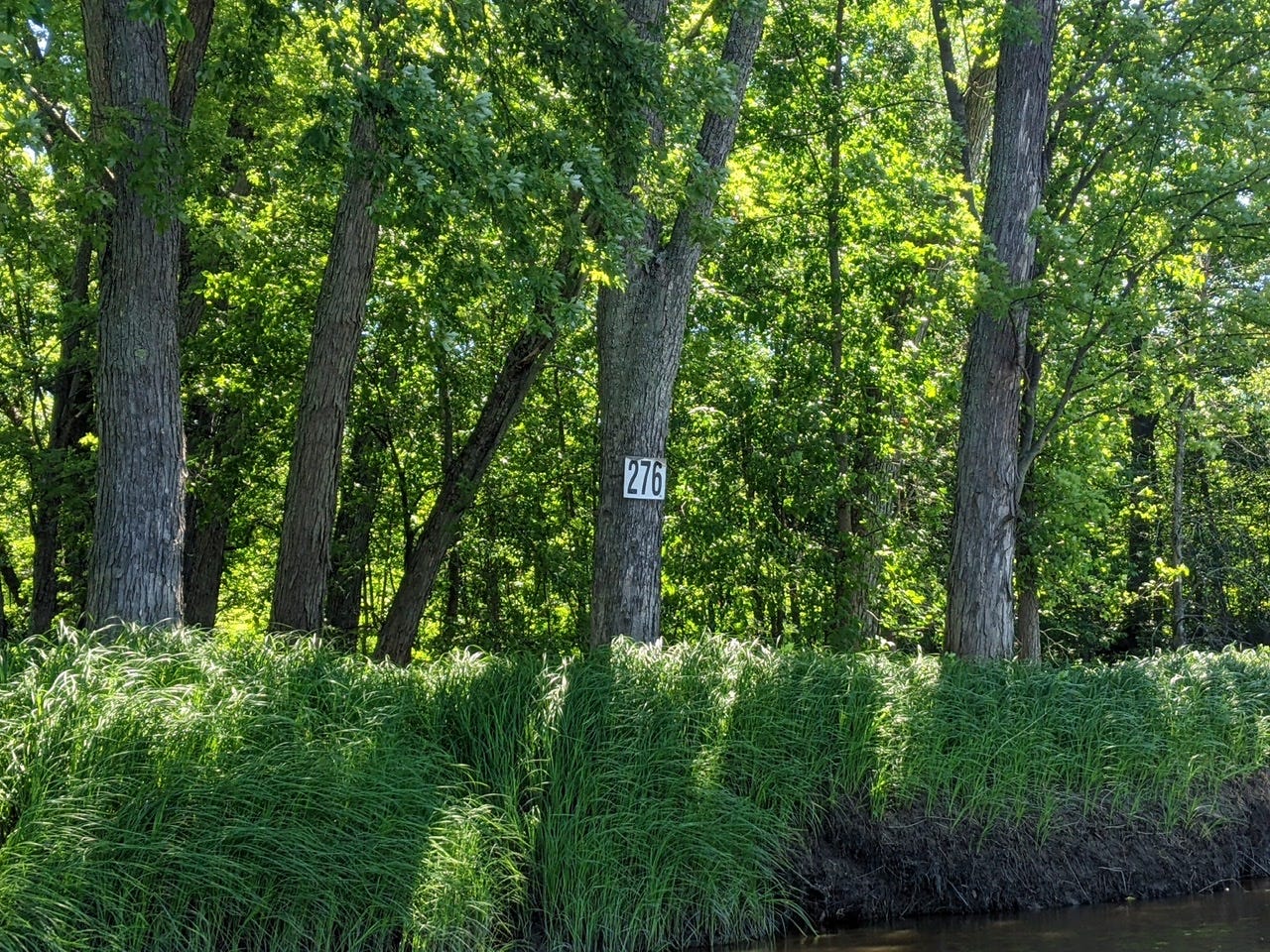
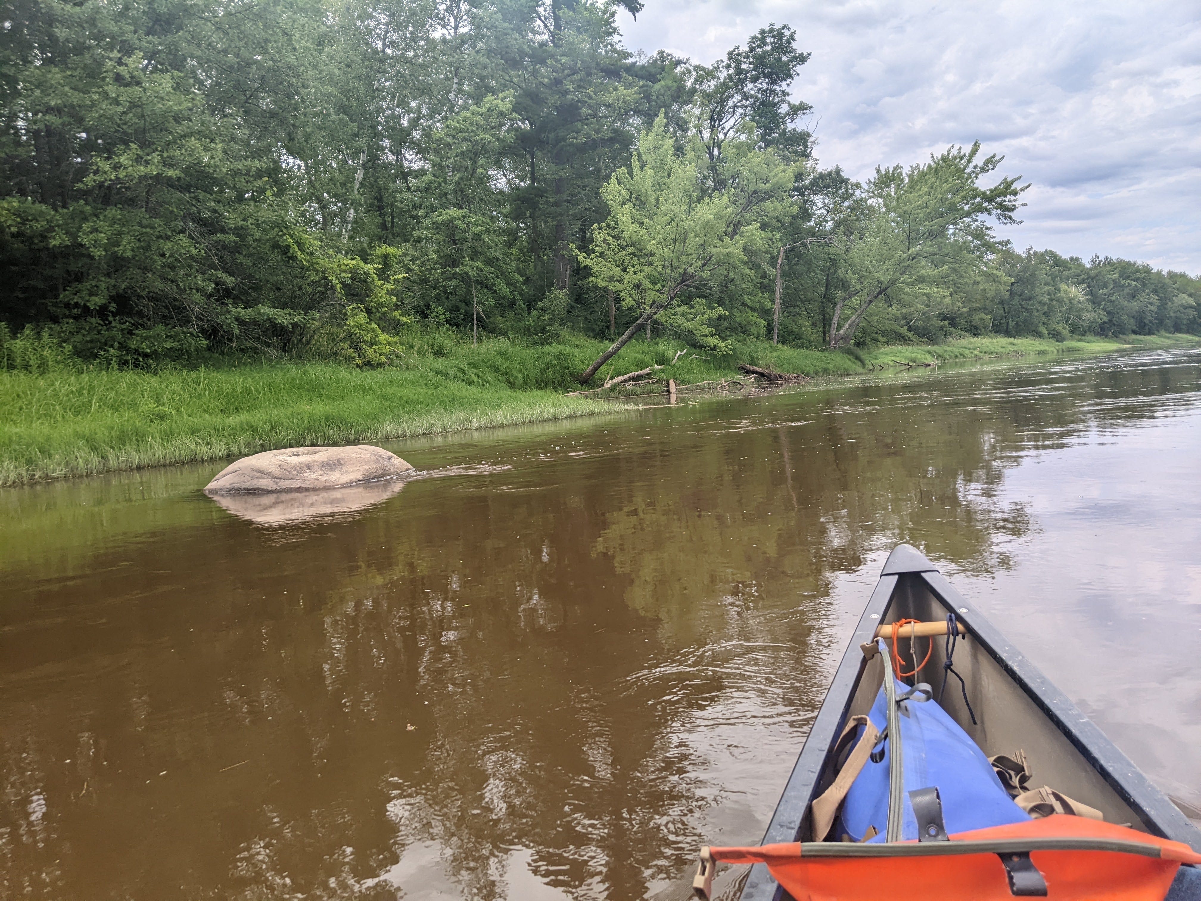
Today, paddling from Palisade in the morning, the sun’s rays started to shine bright early on. I continued in the reddish, coffee-colored water, passing houses and cabins from time to time. I saw a few massive willows dangling over and dipping into the water. American Basswoods are making an appearance as well.
The sandbars have all but disappeared again, as the bends aren’t as tight in this stretch of the Mississippi. But I know that they’ll be back soon, and in force!
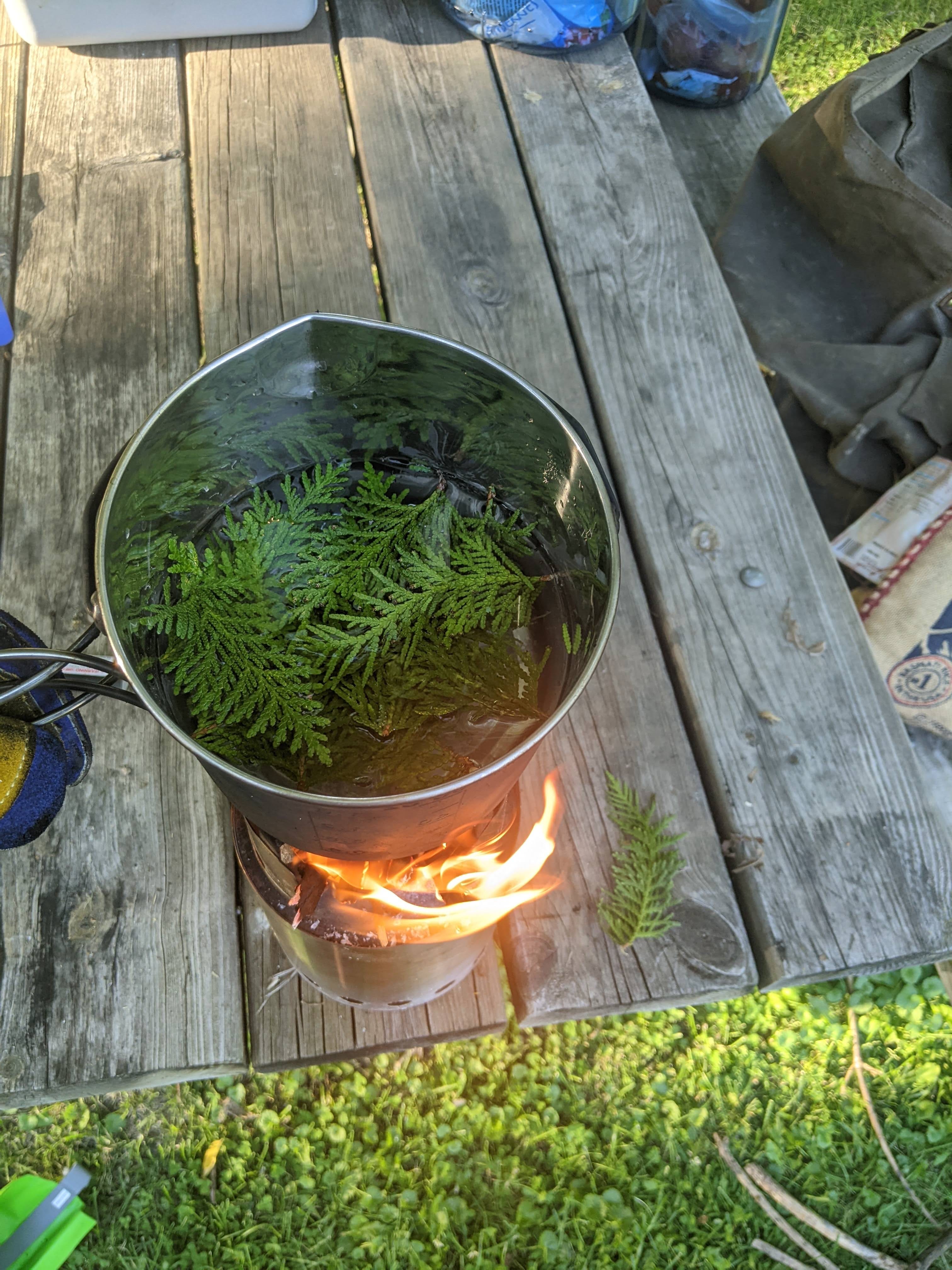
Brewing Cedar Tea
I was able to find one tree that I had been looking out for: cedar! Whenever I’m out adventuring in the Northwoods, I brew myself a cup of cedar tea at any opportunity. Cedar has high amounts of vitamin C and was traditionally used to stave off scurvy through a long winter, or while traveling without fresh supplies. The indigenous peoples, and later the fur traders, used cedar tea in this way before scurvy (a deficiency of vitamin C) was even understood by science. It simply was known that if you drank the tea you would not get sick!
Day 15: Aitkin, MN → Dudecks
Date: July 23rd, 2022
URM 1056 → URM 1013
Distance today: 43 Miles (for the voyageurs reading, this is ~8 miles longer than the grand voyage, which kind of blows my mind)
River Time: 13 hrs
Today I had plans A, B, and C, and in the end I went with plan D. I knew that leaving Aitkin I had 43 miles to go to reach the Dudecks, a River Angel family where I had also left a food resupply. Looking at the map, I figured I’d split it in to two days: 22 miles to “Lone Pine” site, then 21 miles the next day to the Dudecks. The perfect plan.
Well, this morning rolled around and I knew there were storms forecasted for the afternoon, so I got up and got on the water early, a tad before 6 a.m.! The whole day I was checking the radar and trying to beat the storm to my campsite. Storms were supposed to hit worst between 11 a.m. and 2 p.m. Well, at 11:30 a.m. I had completed the 22 miles to Lone Pine campsite, and it was an awful site. Full of trash, overgrown, and a very bad access point. I would have had to leave my canoe in the water tied to a tree; something I try to avoid. This site wouldn’t do, so I set off downstream. My next potential camping spot was a landing 5 miles farther. I got to this spot, had a lunch, but recognized it was really not a good campsite. It was all asphalt, and right next to a busy highway. Plus there were the telltale signs that this was a party spot for locals, and I didn’t want to be there on a Saturday night. Onward and downstream I went!
At this point, I had already alerted the Dudecks of my situation. I was 17 miles out by this point. I would look for camps in-between, but very well might end up on their doorstep. Or dock, rather. There were a few primitive spots that would have worked in a pinch, but nothing that was calling me.
My plan C was either Trommald Landing or Half-Moon site. They are right near each other and 13 miles downstream from where I was. They were both unideal for various reasons, so I just decided to paddle the last 4 miles to the Dudecks! I was so glad for their flexibility in welcoming me one day earlier than planned, and it made for my longest paddle day yet! It felt really nice to not have to set up my tent and cook my own dinner upon arrival though! I am going to sleep well tonight! Thank you Dudecks for your amazing hospitality and flexibility, you’re true River Angels!
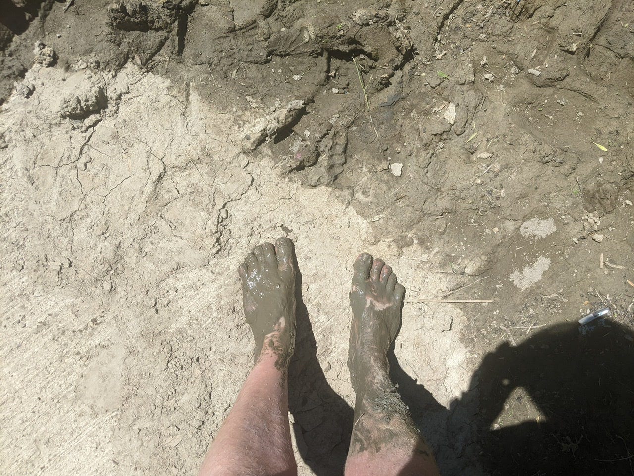
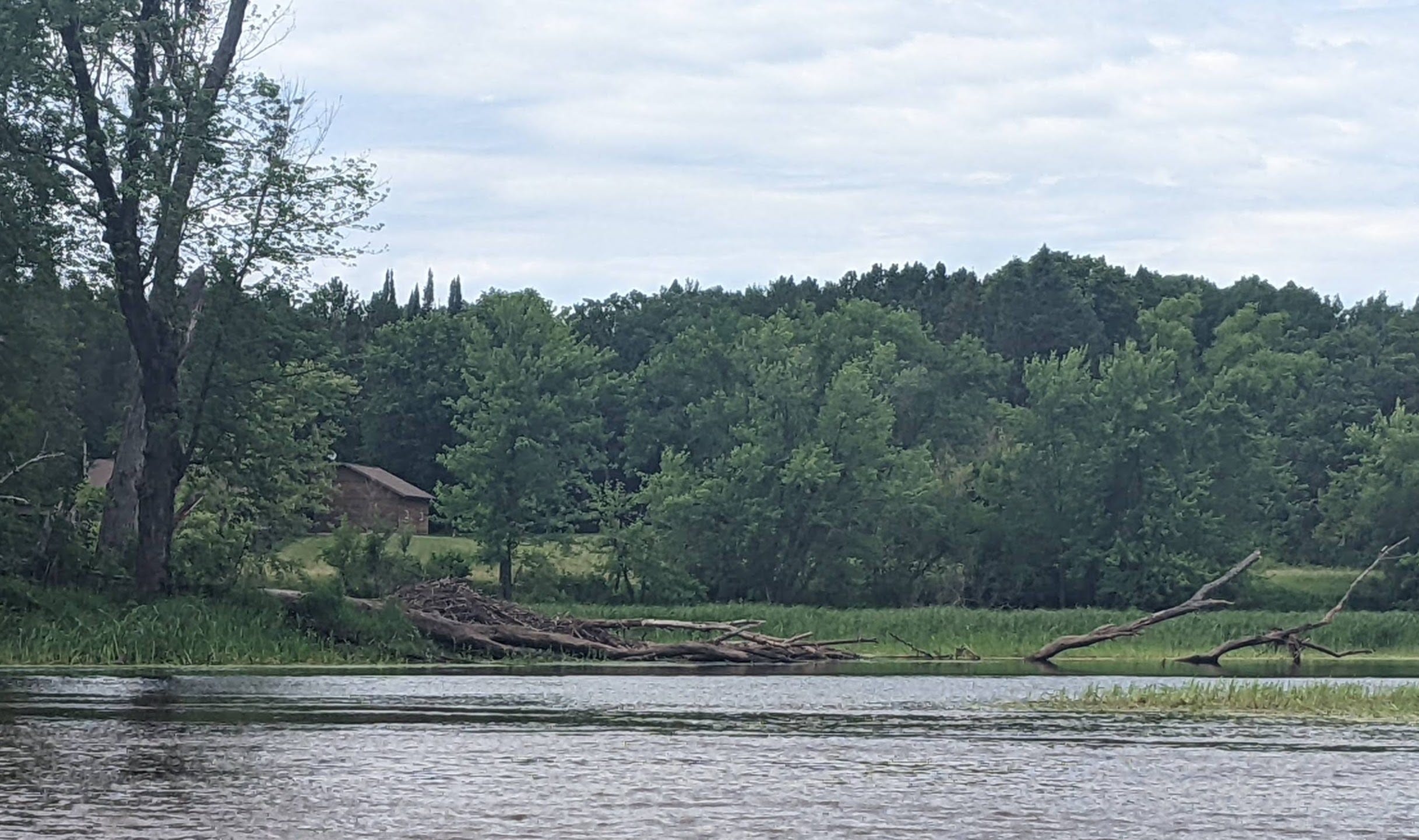
That’s about all I got but here are some more photos I took from the day. I didn’t have time for many because I was so rushed, but here they go:

River Log Day 14
1086.4 - Berglund Co. Park, Palisade, MN: Nice fee campground with amenities. Showers, restrooms, trash cans, picnic tables, fishing dock, playground. Sites are a bit of a walk from water.
1078.5 - Willow River Camp: Look very closely immediately after confluence of Willow River. No sign visible from water. Steep overgrown access.
1074 - Hwy 169 Landing: Nice picnic spot. Camping possible in a pinch but not recommended. Squeezed between a very busy road and private property.
1067.6 - Hassman: This site is in the incorrect location on my maps. True mileage is approx .5 miles downstream at 1067.1 . Steep access but nicely kept site. 1 picnic table, latrine. White sign visible from water.
1062.6 - Kimball Landing: Very muddy and narrow ramp, but paved. Looks to be an official campsite as well, with picnic table and fire rings. No latrine, however.
River Log Day 15
1055.7 - Aitkin Campground: Nice fee campground with sites quite close to water. Drinking water, bathrooms, trash cans.
1034.3 - Lone Pine Camp: Unideal site. Very tough, steep, muddy banks on access. Overgrown site.
1030 - Hwy 6 Landing: Good spot for lunch, but not camping. All asphalt and by a noisy road.
1018 - Trommald Landing: Very nice landing with grassy area. Would make a good camp. Sometimes local party spot on weekends.
1017 - Half Moon Camp: Really nice view on high bluff. No real good tent spot unfortunately. Pitch tent on dirt road. Access is a bit confusing, it’s off the river a bit, in a wild rice bay. (The southernmost wild rice bay in the area.)
Canoe praying for you stay safe. Also you are doing a great job! How did the tea taste? Did it need sugar?
Wow!! 43 miles in one day is incredible. I hope you did sleep well last night!