


Days 43 & 44 - Camping on an Active Dredge Operation
Whoops

Day 43: Geneva Island N. → Geneva Island N.
Date: August 20th, 2022
URM 462 → URM 462
Distance today: 0 miles
River Time: 0 hours
Countdown to St. Louis: 272 miles
We decided to take an additional rest day due to thunderstorms in the forecast. We had planned to sleep in to catch up on some rest, but the U.S. Army Corps of Engineers had other plans for us. We were awakened at 7 a.m. to a gruff voice yelling to us from a Corps boat on the River: “We’re going to start dumping here in about an hour!”
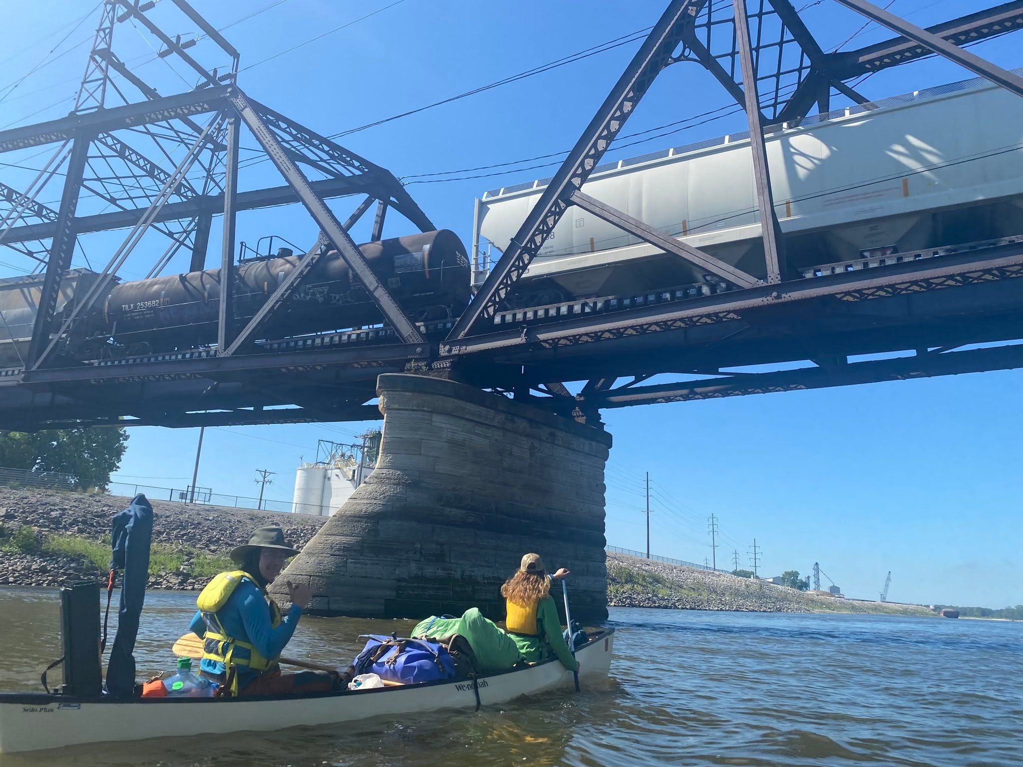
The sand beach we were staying on was not natural, but an active dredge dumping site; new sand was to be moved and added to the pile today. Why they chose a Saturday to do this task is beyond me. Sure enough, soon tows were arriving to unload equipment on our nice little beach paradise.
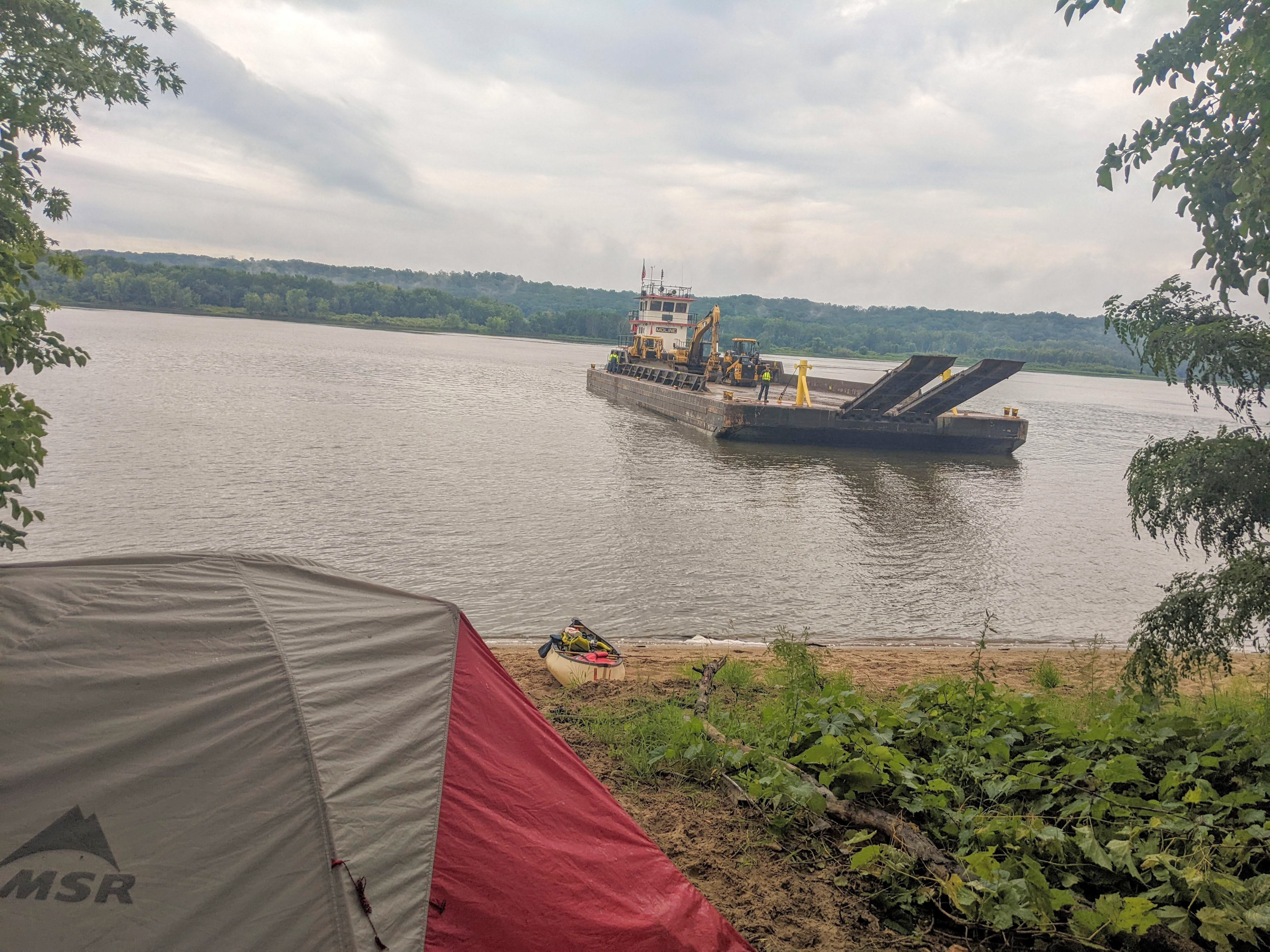
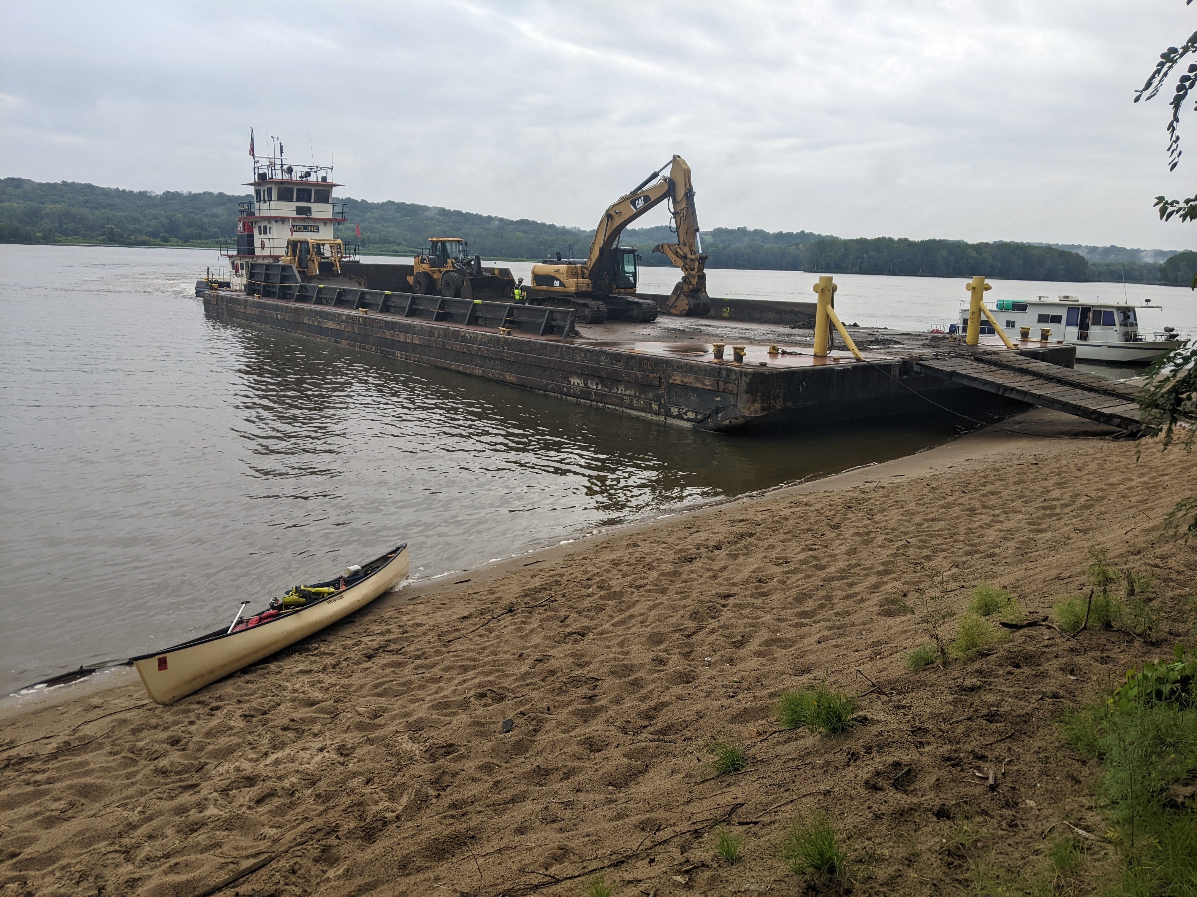
The workers also specifically told us that they were going to be dumping right in front of our tent, where the canoe was. Great. We were gearing up for a long, annoying day of loud clangs and back-up beeps right outside our front door. Despite the iffy forecast, we planned to switch camp spots during a break in the rain.
As we were on the verge of packing up our tent to leave, we had a fortunate stroke of luck: When the barge returned fully loaded with sand, it was unable to reach our campsite. It was weighted down too heavily and kept hitting a shoal about 100 yards out. They were forced to go and dump the sand at a different section of beach, about a quarter mile downstream. This was great news!
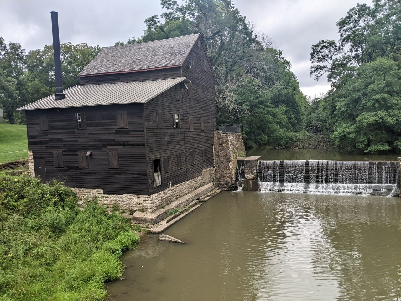
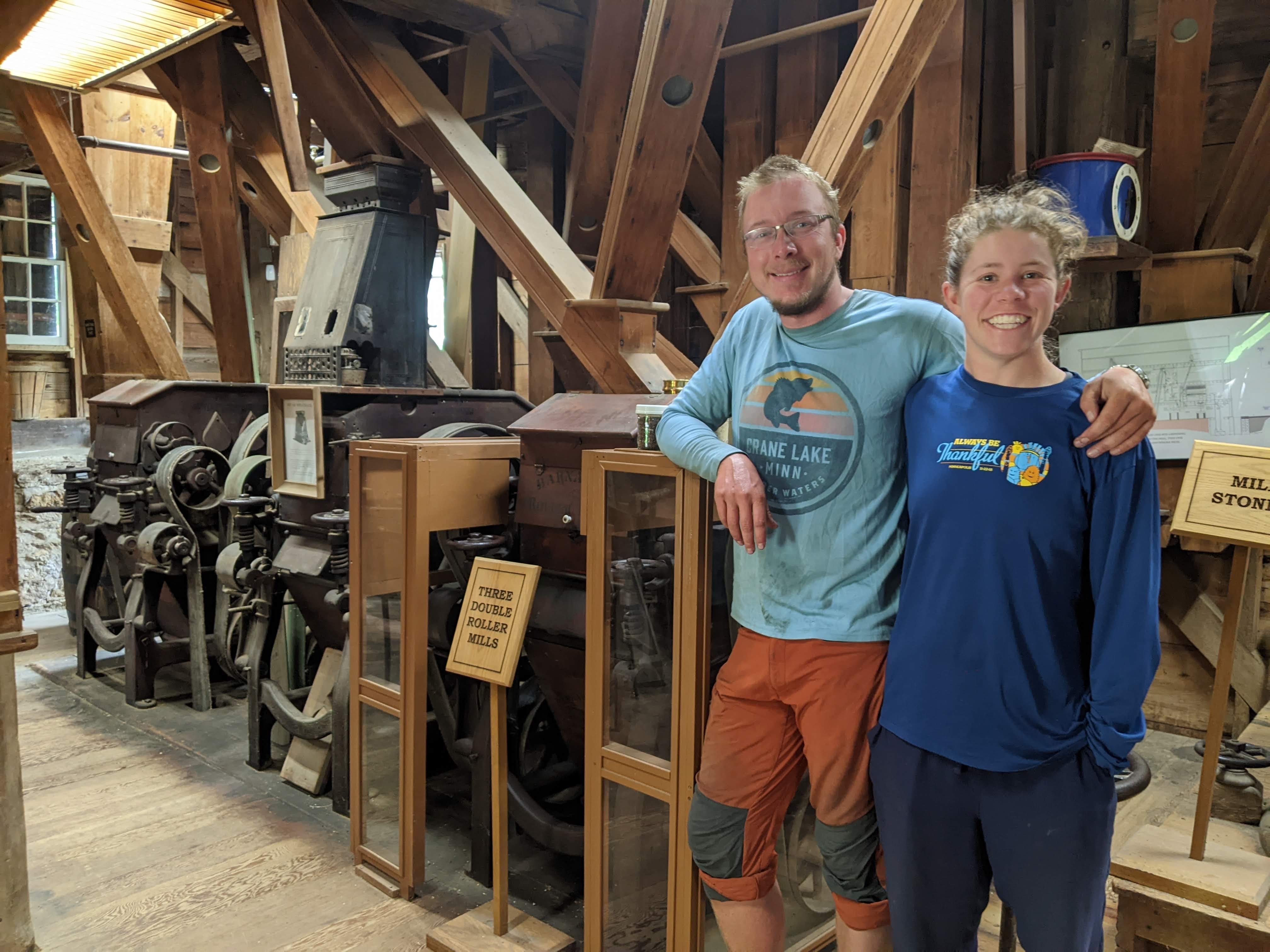
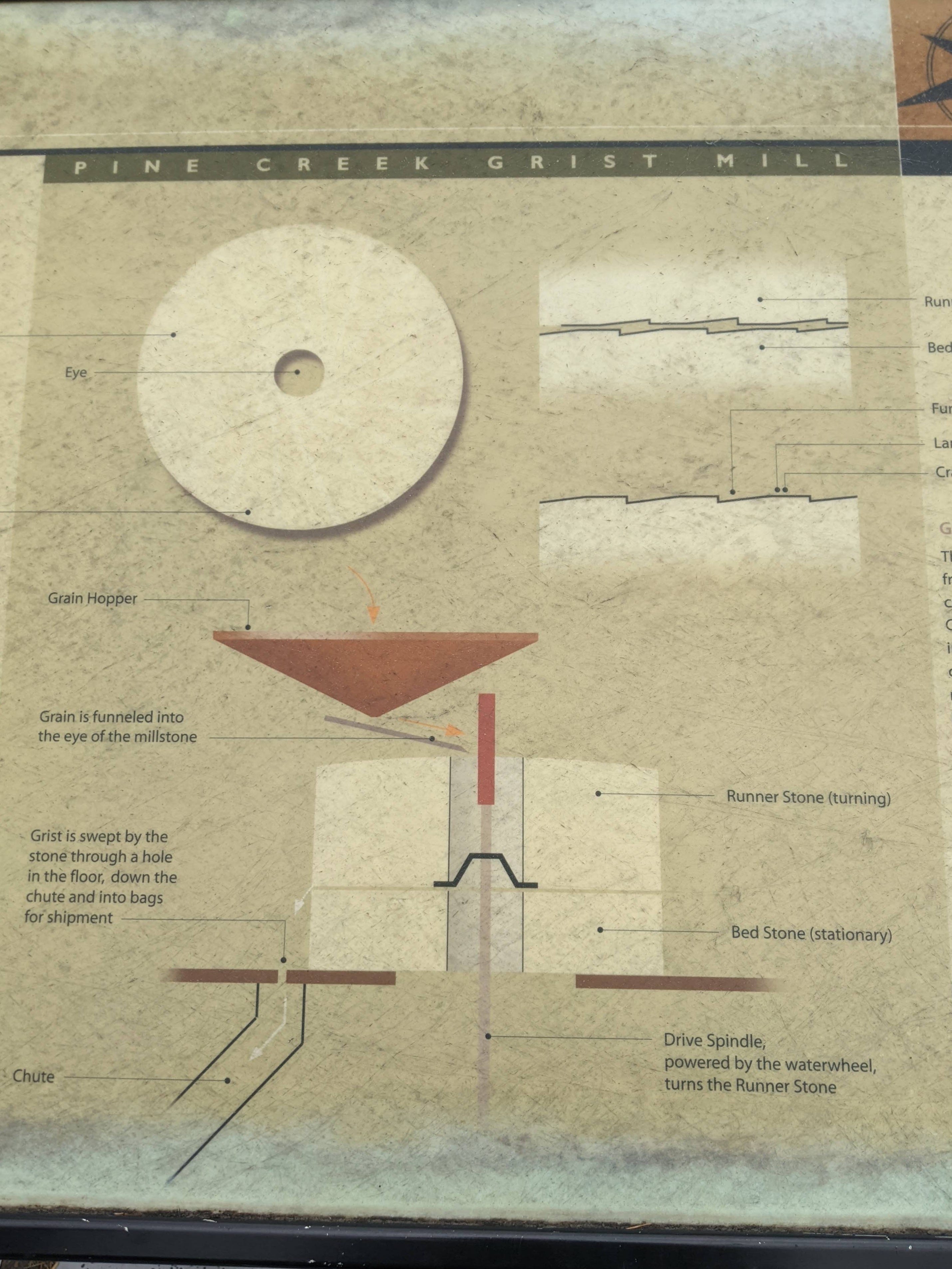
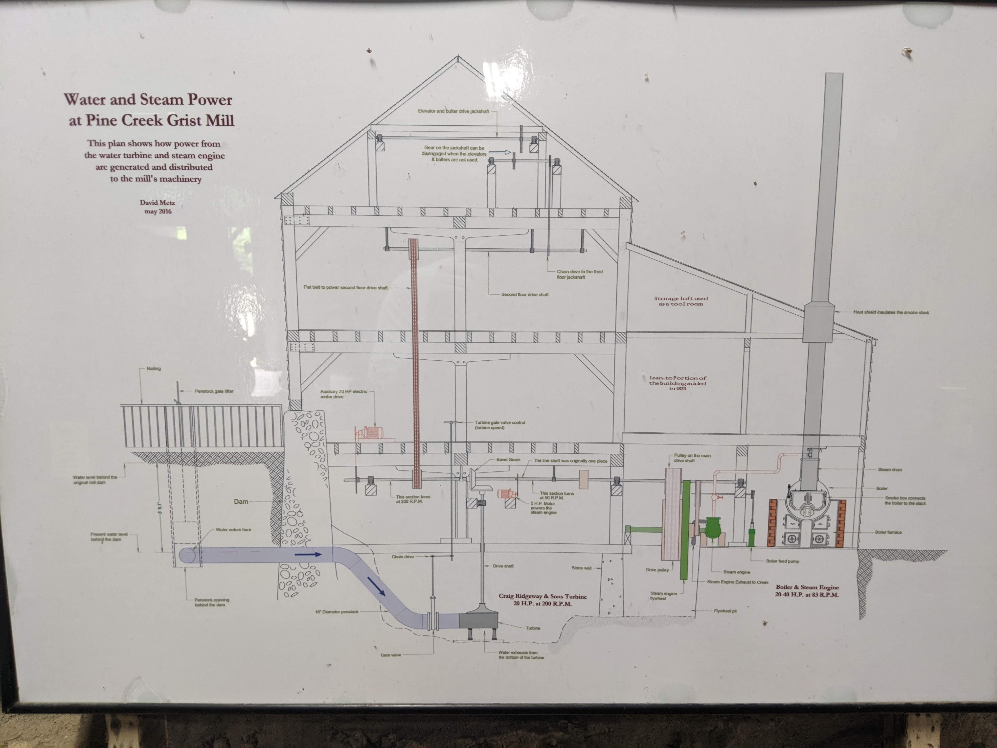
We didn’t have to change spots, but we still wanted to explore, so we paddled back to the mainland and visited a small state park in Iowa. The park was called Wildcat Den State Park. Here we found a restoration gristmill (grain mill) that had originally been built in the 1850s. The mill has been kept in fantastic shape as a historic site, and can even still be operated.
It was fun to explore the numerous implements for sifting, sorting, packaging, and of course milling the grains. It was a cornucopia of different cubbies and tools, chutes and ladders, which were ultimately all powered by a single driveshaft.
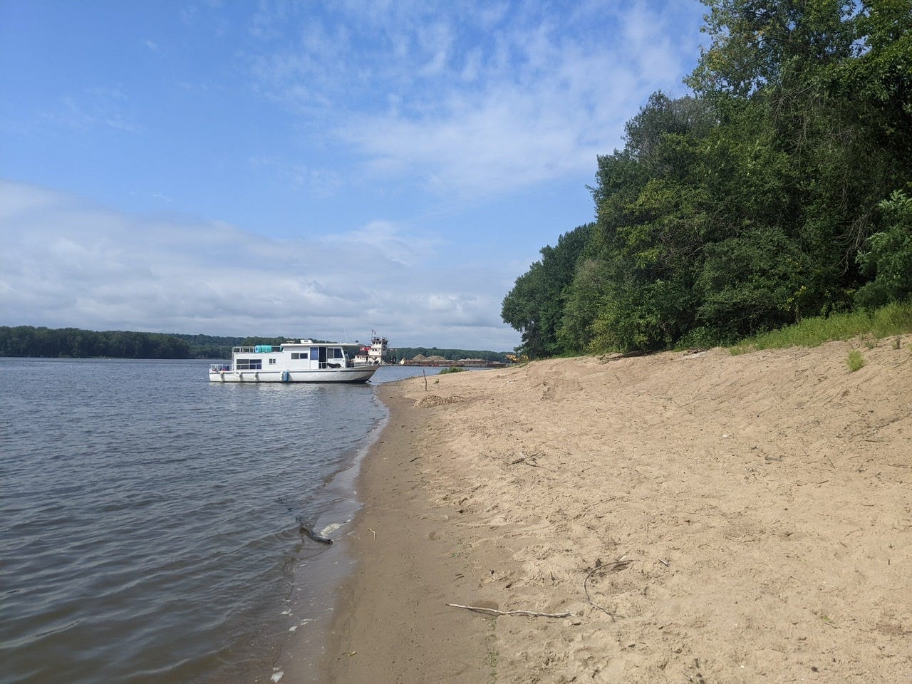
That night, we met a very friendly local camped in his houseboat. He insisted that we join him for dinner as “y’all are travelers; you need to save your supplies for later!” We had a great dinner, and I believe it was my first time on a houseboat. Thank you for your kindness, Jay!
In general, I have been blown away by all the generous people I’ve met along this trip. Many of the people I meet are boaters, and they recognize that it can be tough out here living life out of a 16-foot canoe for weeks on end, so most of them want to offer a helping hand. This may be a “solo” paddle of the Mississippi, but I’ve received so much kindness and help that has truly supported me along the way.
Day 44: Geneva Island N. → Edwards Island
Date: August 21st, 2022
URM 462 → URM 431
Distance today: 31 miles
River Time: 9.5 hours
Countdown to St. Louis: 251 miles
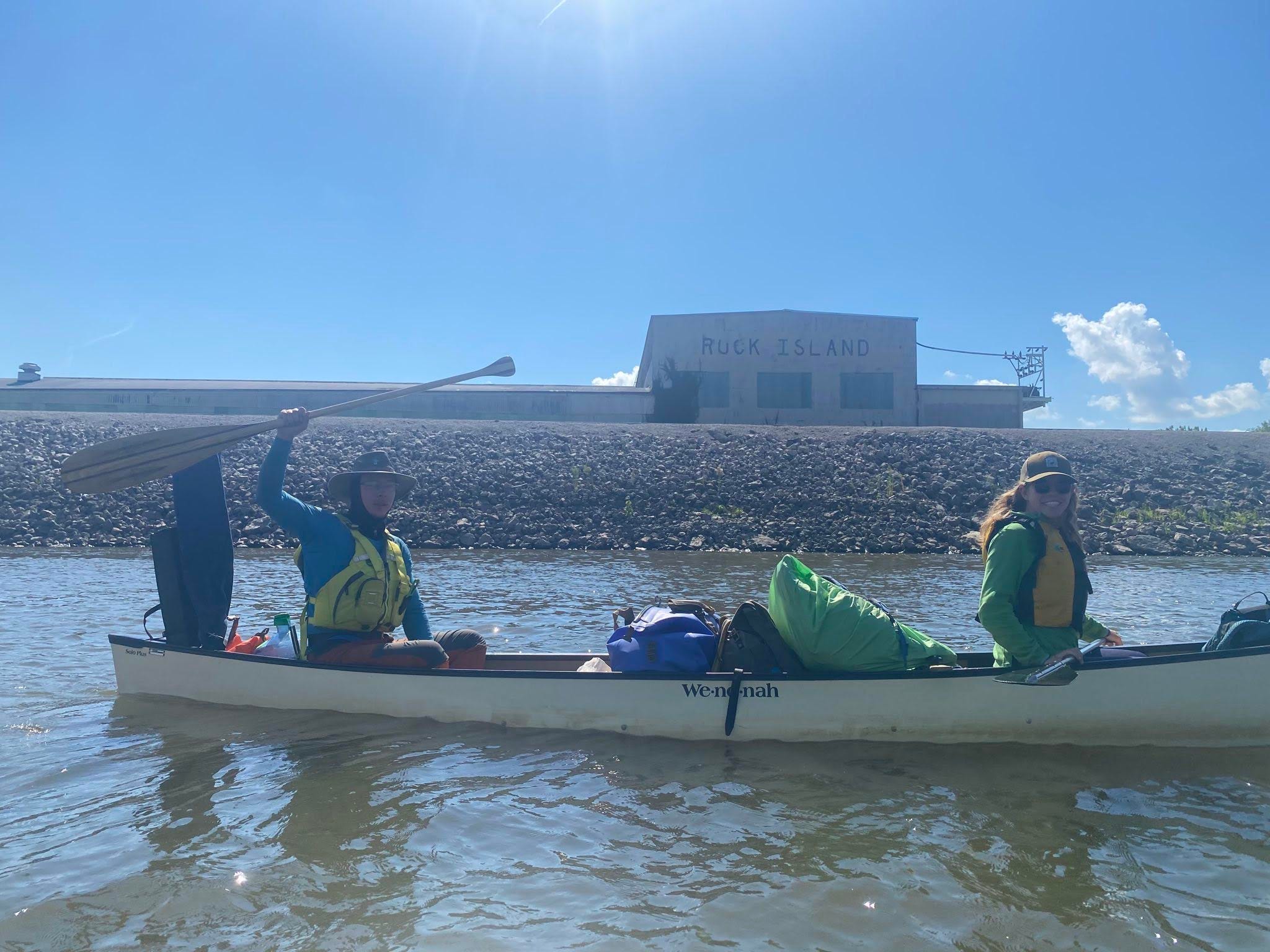
Today arrived with a thick fog, but one that luckily lifted quickly. We did a quick ferry to the boat launch, where I said goodbye to Solange at Fairport, Iowa. I continued on as the fog lifted gradually. To my delight, it remained a cloudy day, perfect for paddling.
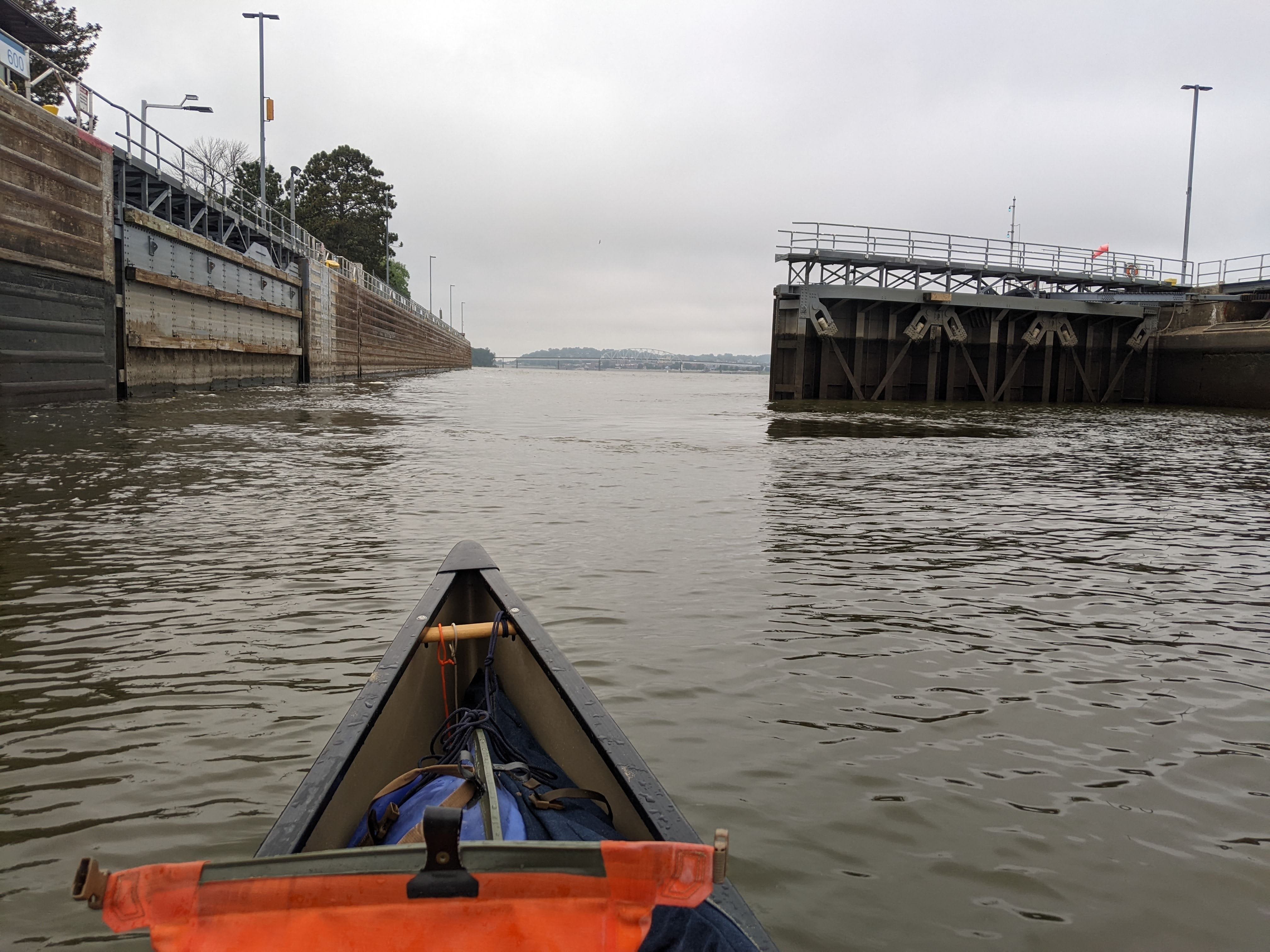
As I approached Lock #16, I saw the other side of the dredging operation. That is to say, I saw where the silt was being taken from, before being deposited on my former home. It was a spot just upstream of Lock #16, and the Corps crews was hard at work by the time I passed around 7:30 a.m.
I passed through Lock #16 with no wait time! Unfortunately for me, they required me to hold a rope as I descended. It’s odd how some locks really insist upon this and others do not at all.
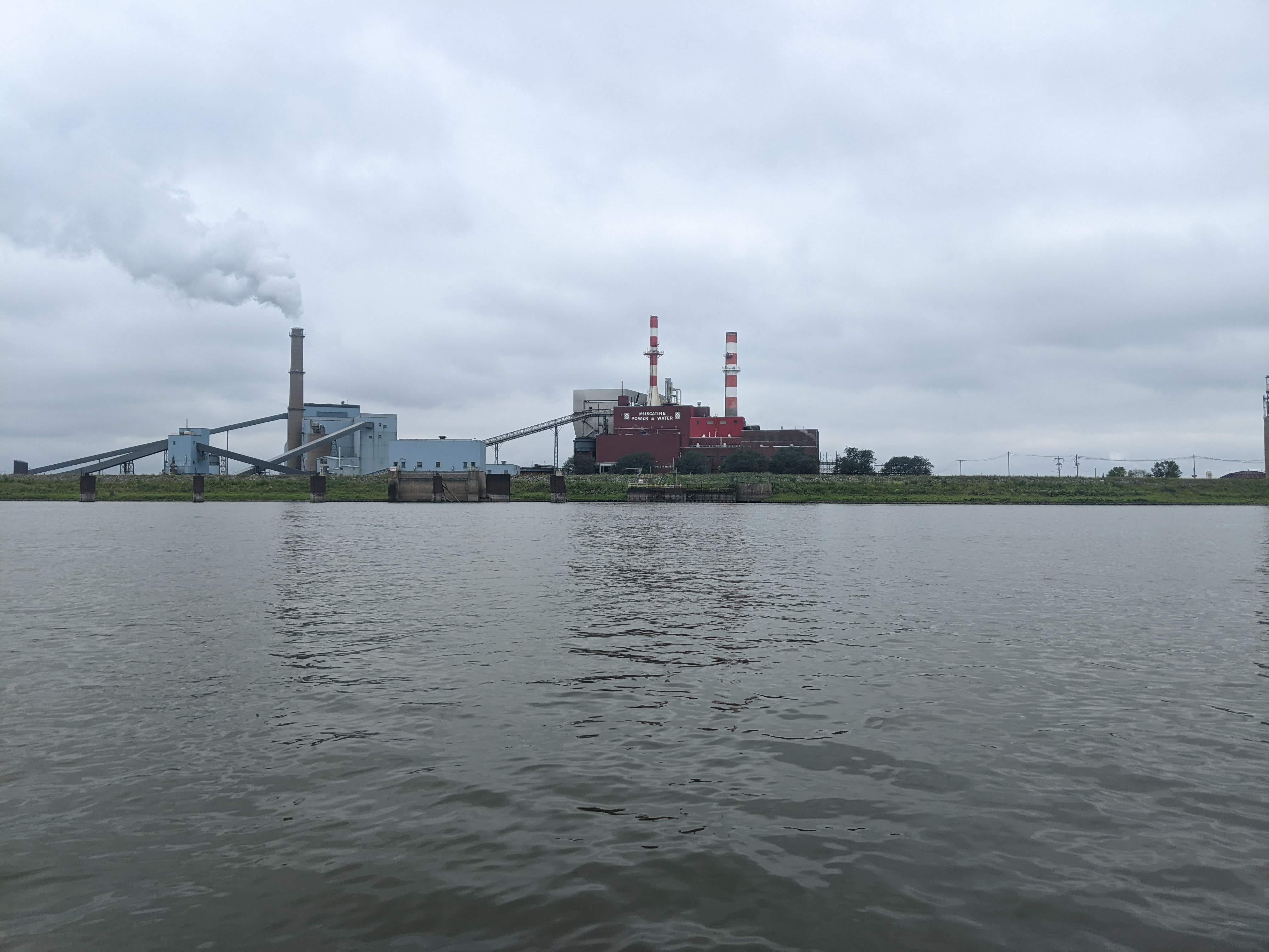
Through Lock #16, I was faced with the industry of Muscatine, Iowa. I checked the maps and made the call to go through the backchannel of the Towhead Islands to try and avoid as much of the industry as possible. I popped out of the channel with much of the industry behind me, but some still to pass through. I always have to keep my head on a swivel when in industrial areas; there are a lot of moving parts. Backchannels are more peaceful for this reason, so I use them when I can. Plus, they often don’t stink as much as the industrial areas!
After Muscatine, my surroundings got surprisingly wild. There were no houses on the shore, or anything, really. My vistas were wooded areas and grassy, sandy beaches. It was a nice change of pace, honestly.
Lock #17
It was bound to be a double lock day. And my experience at Lock #17 could not have been more different. The operators were very chill, didn’t even offer me a rope to hold. (I thanked them for this!) They were super friendly, and just sort of slowly walked down the length of the lock with me, as the water was being let down, chatting about my trip and their jobs at the lock.
At this lock, they also only opened one of two gates for me, which was the first time I’d seen that. There was certainly still more than enough room for me to squeeze through!
After this, I began to hunt for a campsite. I found one that I’m calling Edwards Island, because it’s near the mouth of the Edwards River. This made for a 31 mile day; not too bad!
More Photos from the Last Few Days
Weekly Summary
This week was a shorter one, with two rest days and some shorter paddling days, too. There’s bound to be some weeks like this, but overall I’m still on track in my journey!
I woke up last Monday, August 14th, just north of Lock #12 near Bellevue, Iowa. Now I find myself just south of Lock #17 near New Boston, Illinois. Here’s the weekly progress report:
Start Point: Island 241 aka Bellevue Beach, 5 miles north of Bellevue, IA
End Point: Edwards Island, 2 miles south of New Boston, IL
Starting River Mile: URM 562
Ending River Mile: URM 431
Total Mileage: 131
Highlights/Milestones:
Paddling with some good friends through the Quad Cities.
Locking through Locks #12 to #17.
Two rest days on some stormy days, and visiting an old mill on one of them
Camping on an active dredge operation!
River Log Day 44
454 - Towhead Island North: From the backchannel, RBD. Nice sandbar on 2nd largest Towhead Island.
452.8 LBD: Middle island. Good sand, but across from industry.
448 - Bass Island: LBD Nice expansive dredge pile sandbar. Popular with locals on the weekends, but enough room for all, certainly. Last good spot before Lock #17.
434.5 - “Sliver Island”: Lots of sand, not a lot of shade.
433.7 - Brass Island: Nice spot in the trees. Access can be tough depending on water level.
I’m curious if the Mill actually mills wheat or other grains. Any indication of this during your tour? Maybe they sell in a gift shop?