


Days 85 & 86 - To Baton Rouge!

Day 85: Brunette Point → Point Menoir
Date: October 1st, 2022
LRM 285 → LRM 255
Distance today: 30 miles
River Time: 7 hours
Countdown to Baton Rouge, LA: 26 miles
Local Gauge: 13.1 Natchez Gauge
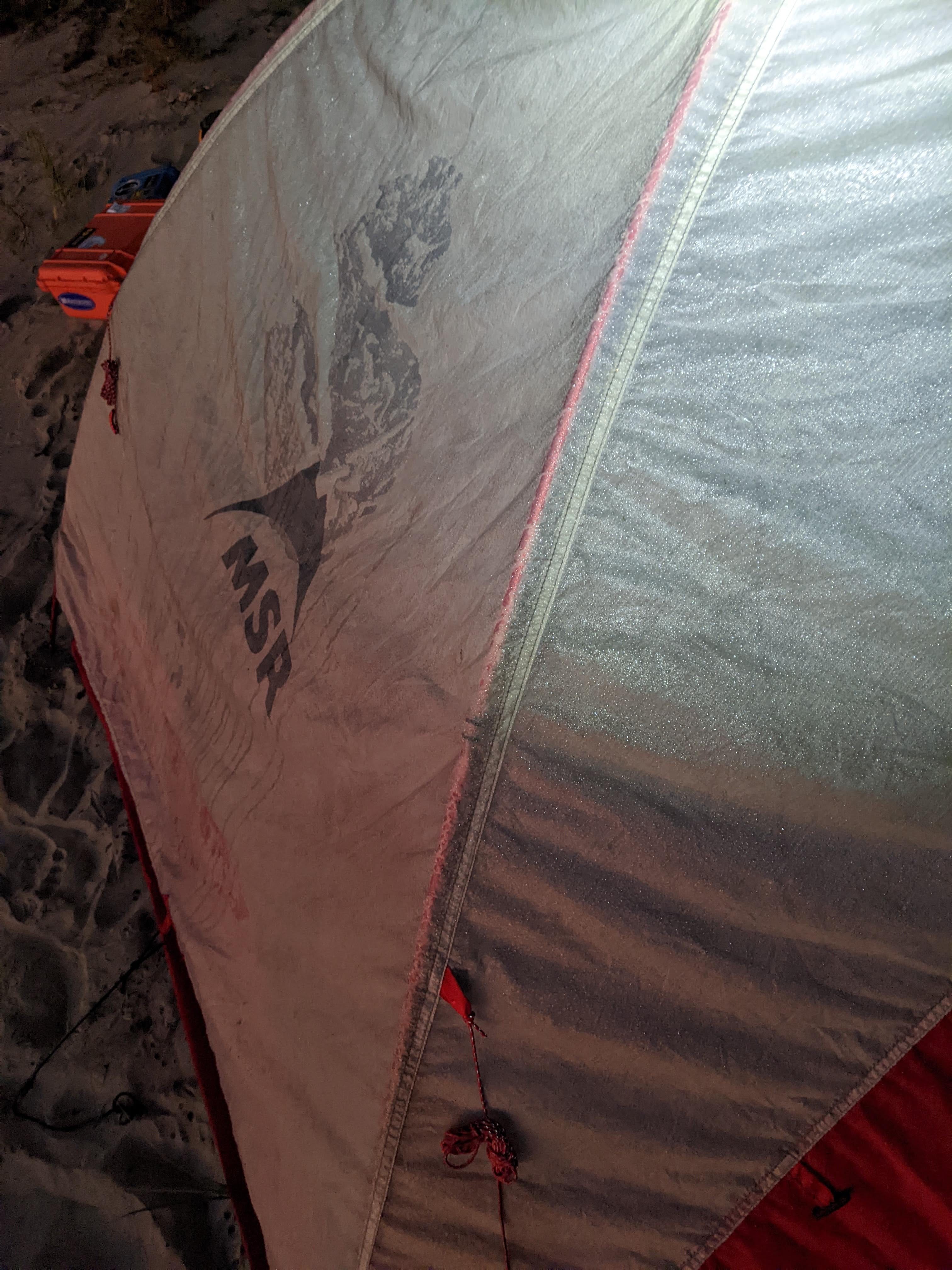
Today I awoke to heavy dew. Now mind you, most days it dews on my tent if I pitch it on a sandbar, but this was next level. The rain fly was soggy. I was a bit surprised by this, as I had some elevation. Usually the farther I am up from water level the less dew I’ll get. Sure enough, down at kitchen level there was even more dew. It was a chilly morning, and this made putting my gear away and breaking camp even more cold.
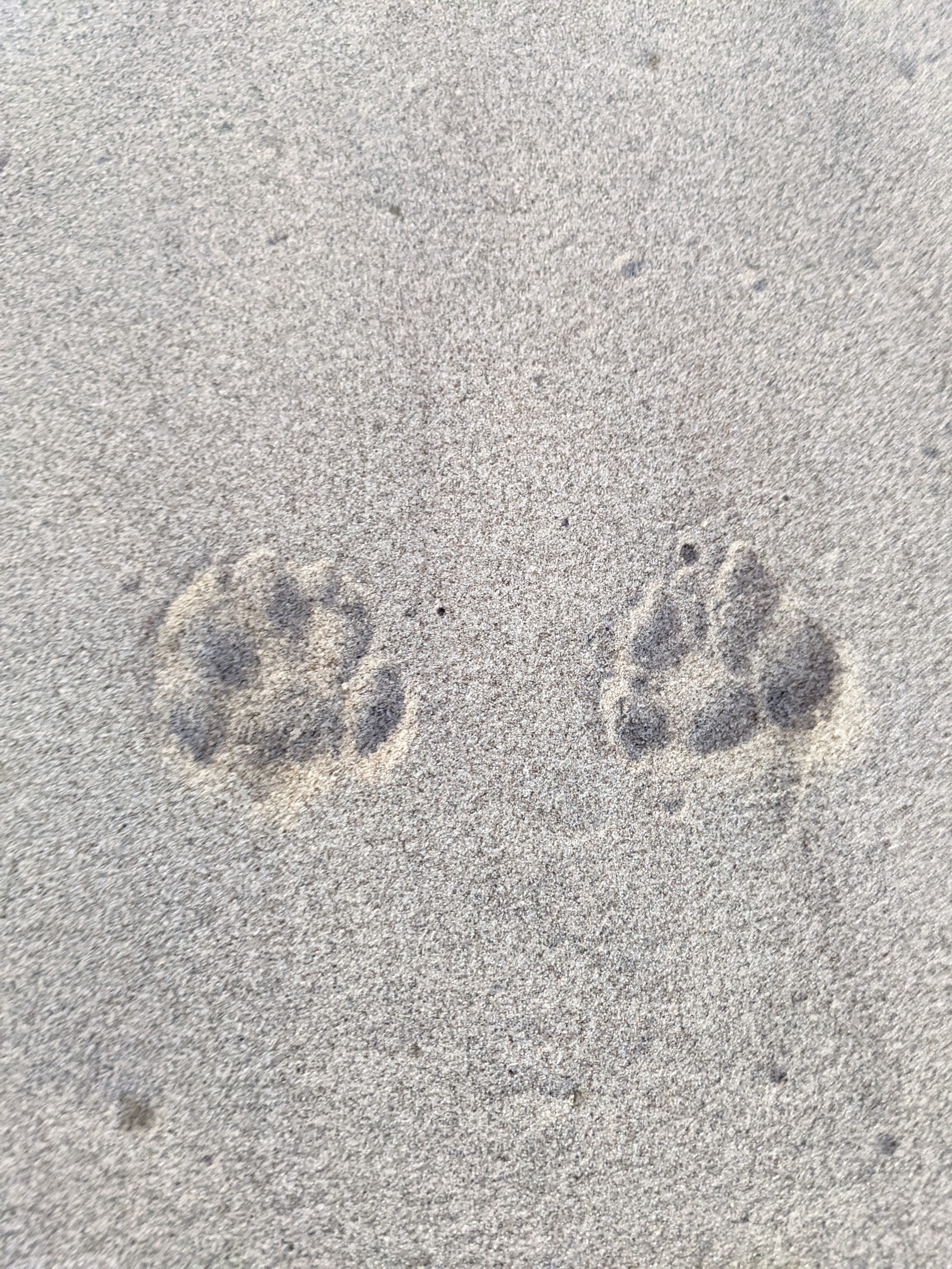
I also found some coyote tracks in my camp, which were not there the night before. Those fellas can be quiet if they want to! Luckily none of my food was tampered with, which I was thankful for.
I began my day, and as usual the sunrise warmed everything up nicely, to the point that one hour after sunrise it was too warm as usual. That’s one comforting thought as I am breaking my camp before dawn: it’ll warm up soon. Very soon.
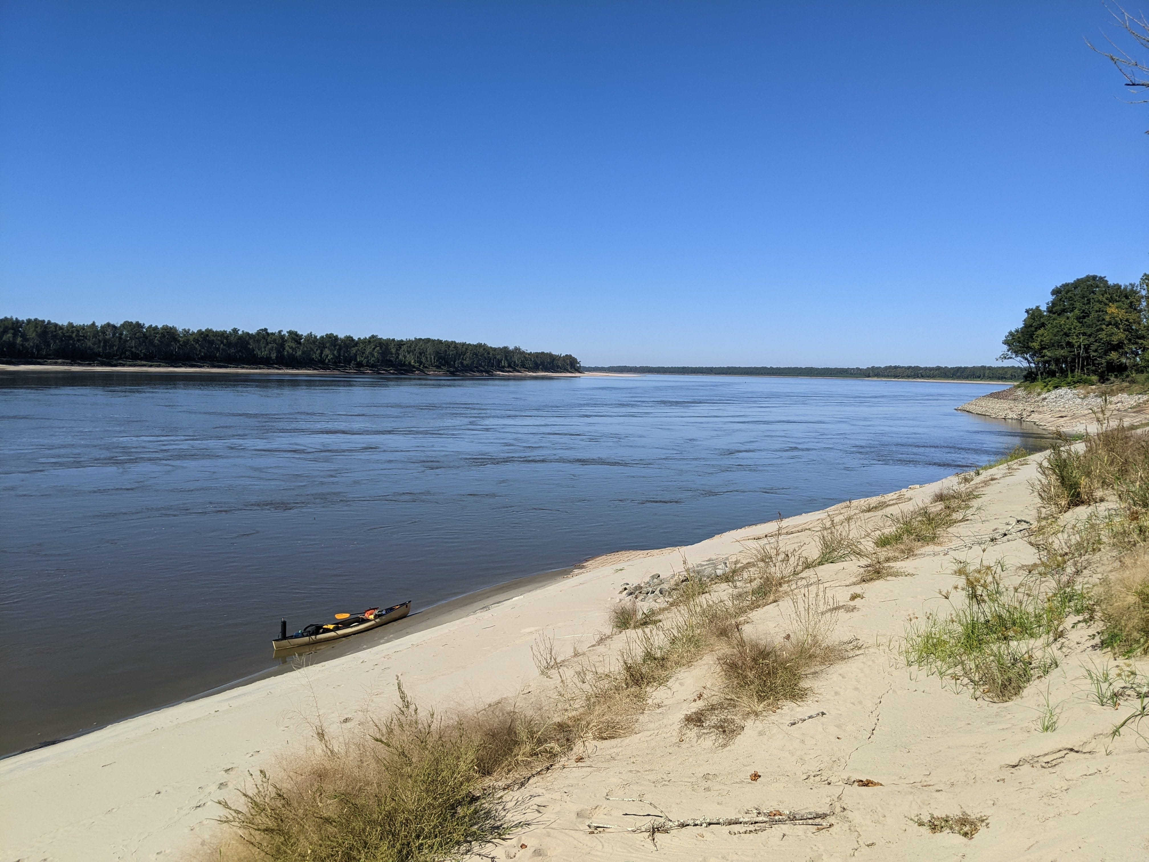
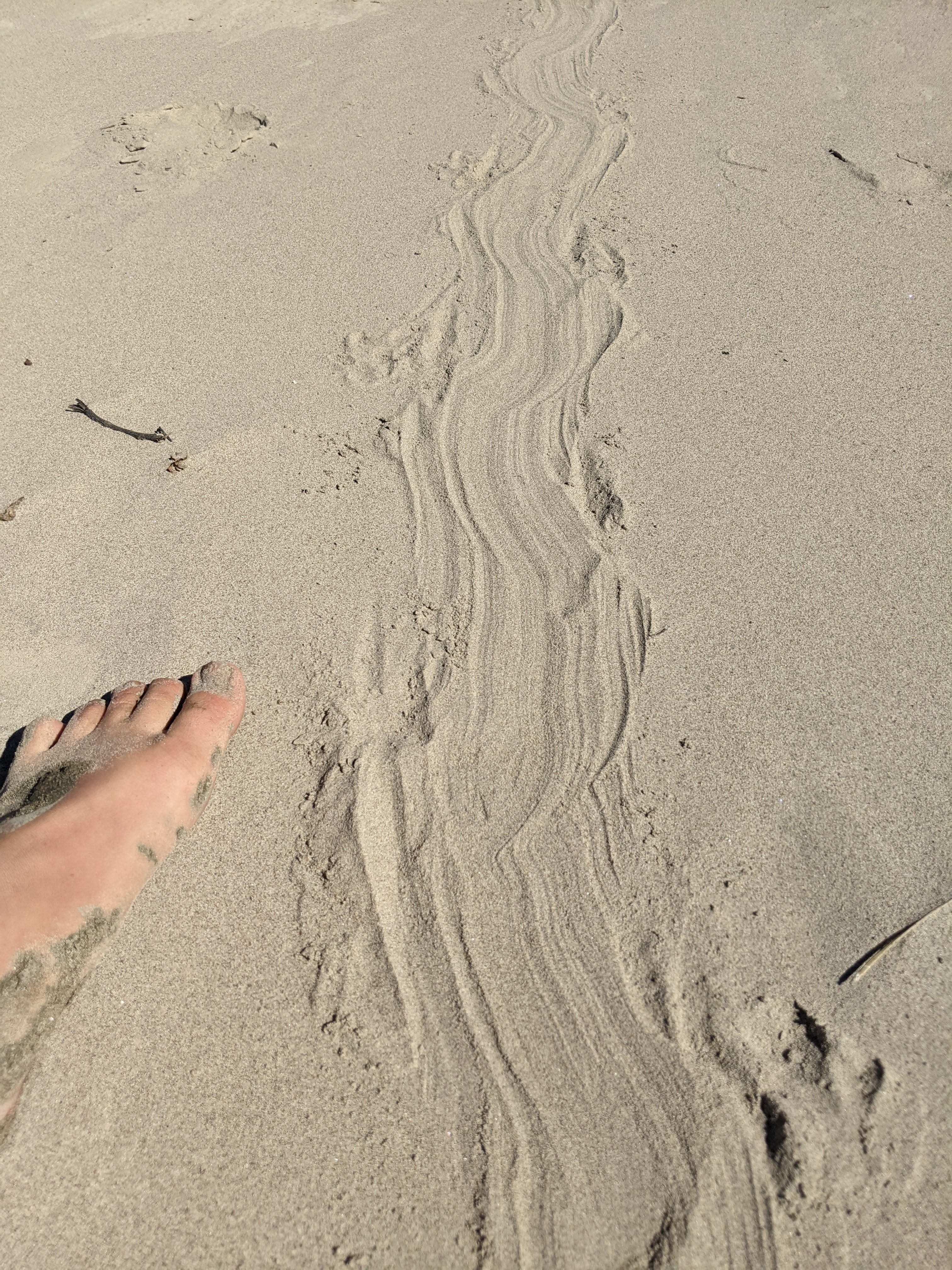
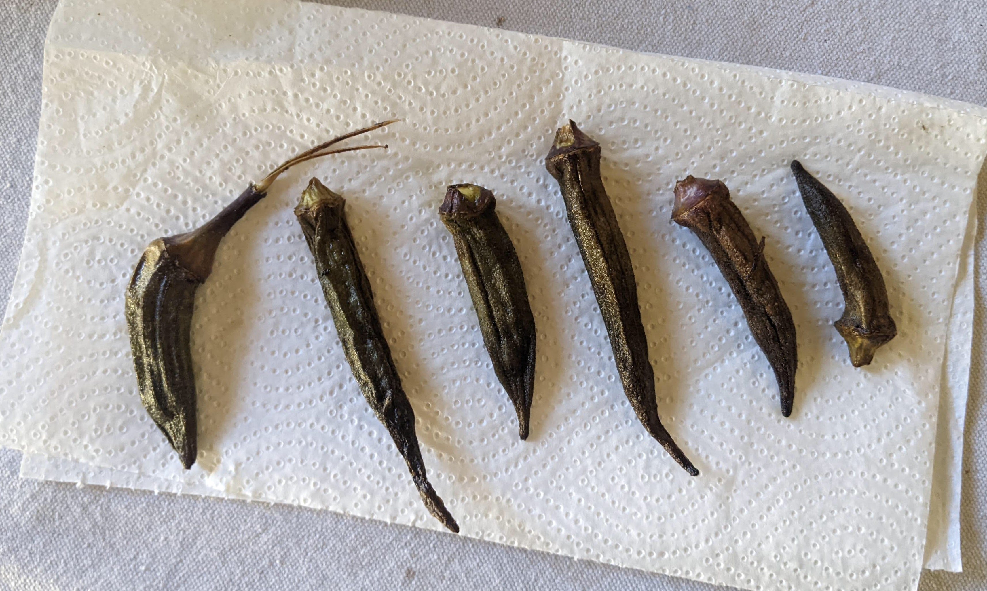
As I paddled along I saw a very nice sandbar ledge which I couldn’t resist. On it, I found tons of turtle tracks. They seemed quite fresh, because the wind hadn’t swept them away yet. This was likely a mother turtle going to lay her autumn clutch of eggs. Laying eggs is a roll of the dice for turtles living on the Mississippi.
Lay them too low (near to the water), and the high waters of spring will submerge them and kill the clutch. Lay them too high, and your babies could have a quarter- or half-mile walk to water once they hatch, and may get picked off by hungry birds.
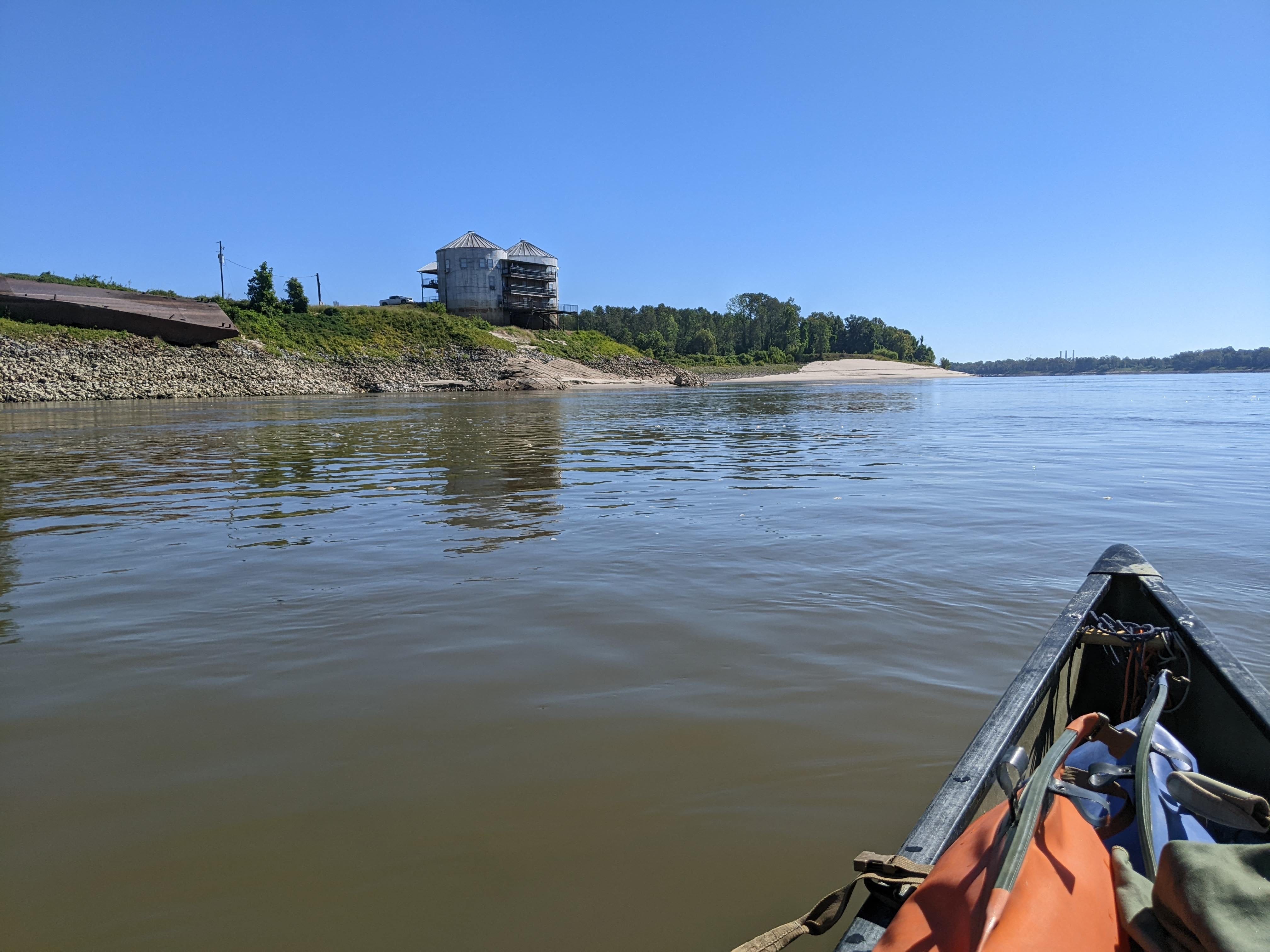
Soon after this, I passed a set of silos that had been converted into a hotel/B ‘n B. It was a cool design and must have been a great view from up there overlooking the water. I am tempted to go visit on my drive back after the trip. One of the people on the balcony snapped a photo of me as well!
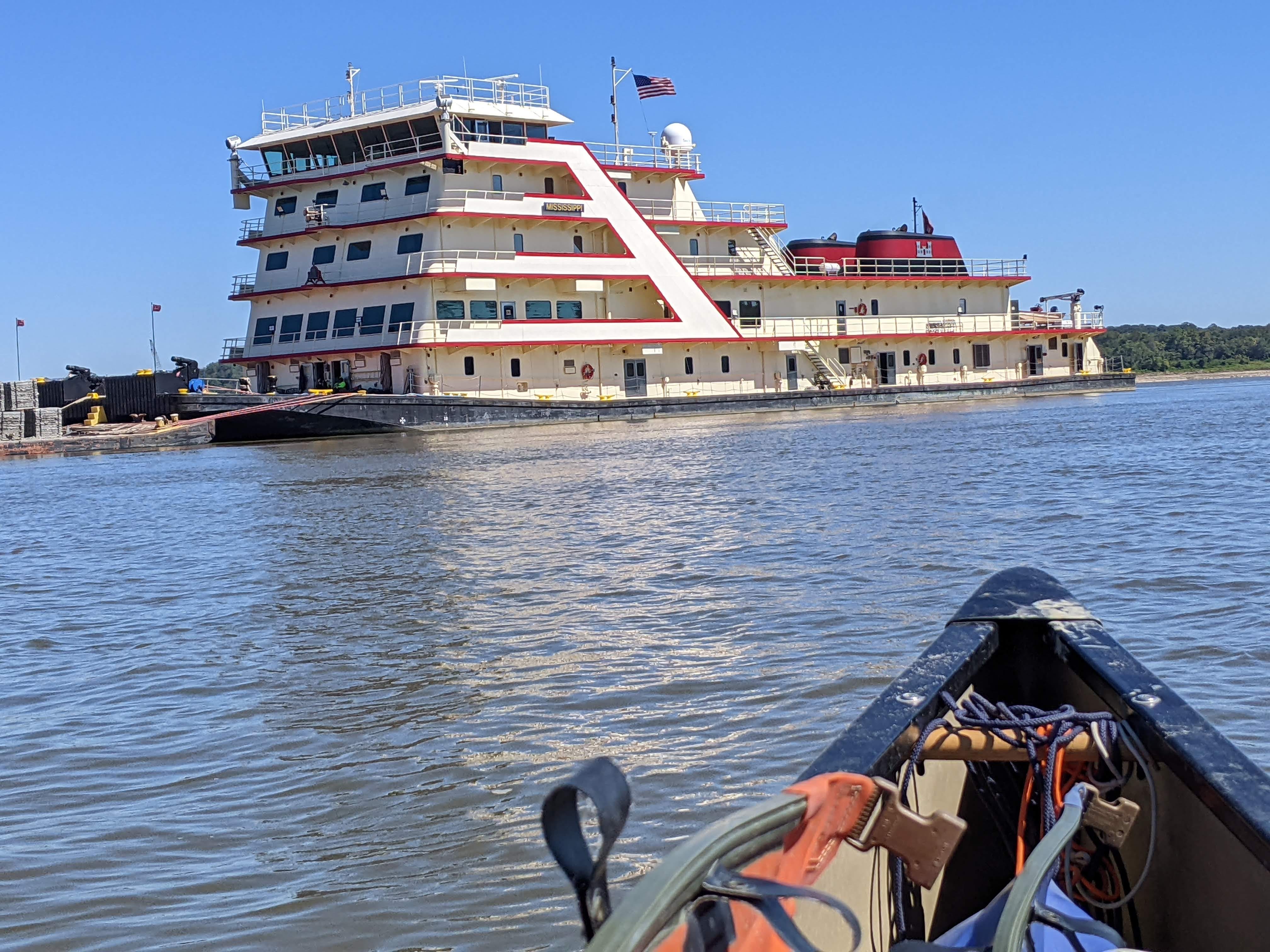
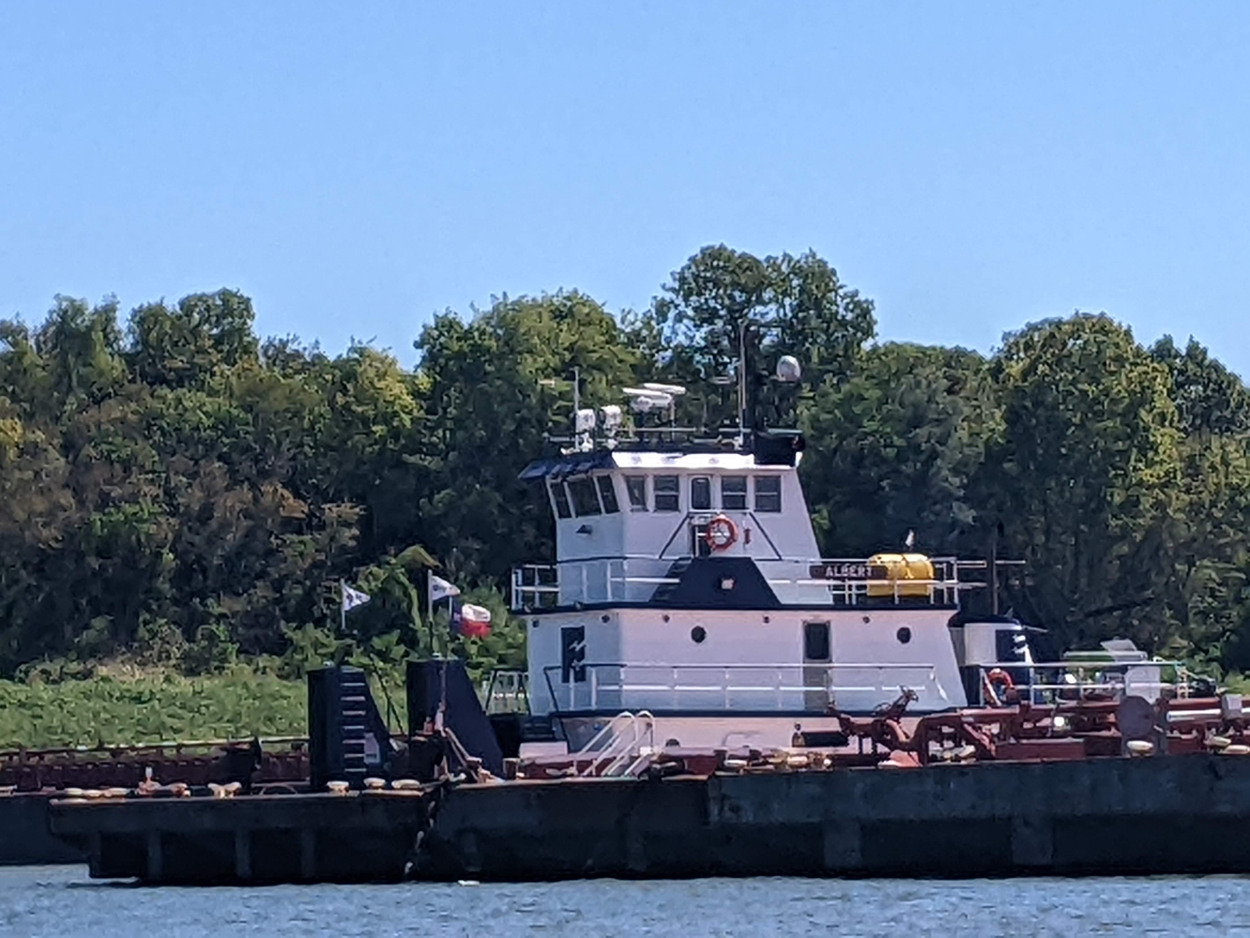
I also saw the largest tow on the Mississippi, it’s called the M/V Mississippi IV. I was wondering when I’d run across it, and I’ve been vaguely keeping my eyes out for it. It’s owned by the USACE, and is used for dredge work and other projects, but is also the boat of choice for hosting lavish parties and meetings concerning the USACE.
It’s the largest, in terms of capacity, floors, etc, but it is certainly not the most powerful. If I remember correctly, the M/V Mississippi IV has two ~3,000 HP motors, for ~6,000 HP total. Tows that actually must push serious cargo can have twin 7,000 HP motors, or 14,000 HP total.
It was fun to see this gigantic boat with a lot of history too. The old, retired M/V Mississippi III is transformed into a museum in Vicksburg, MS.
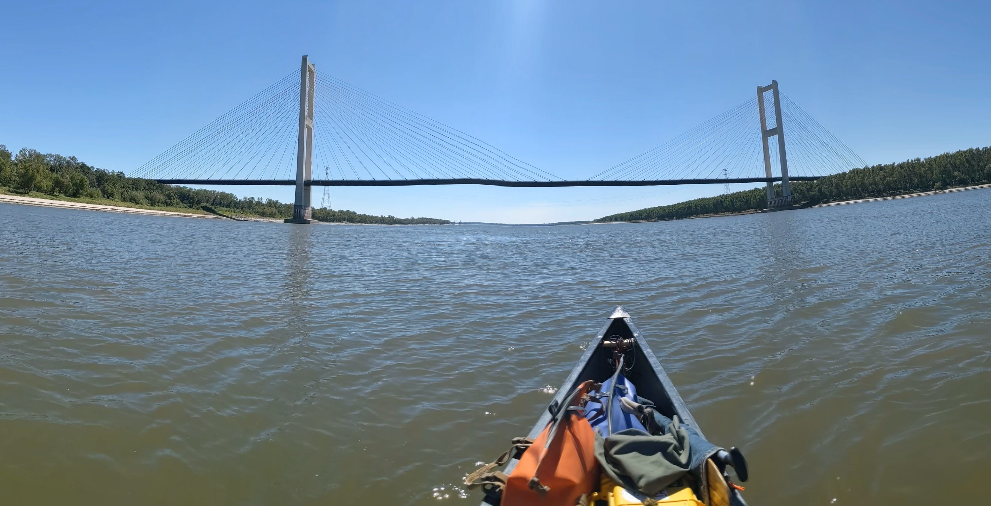
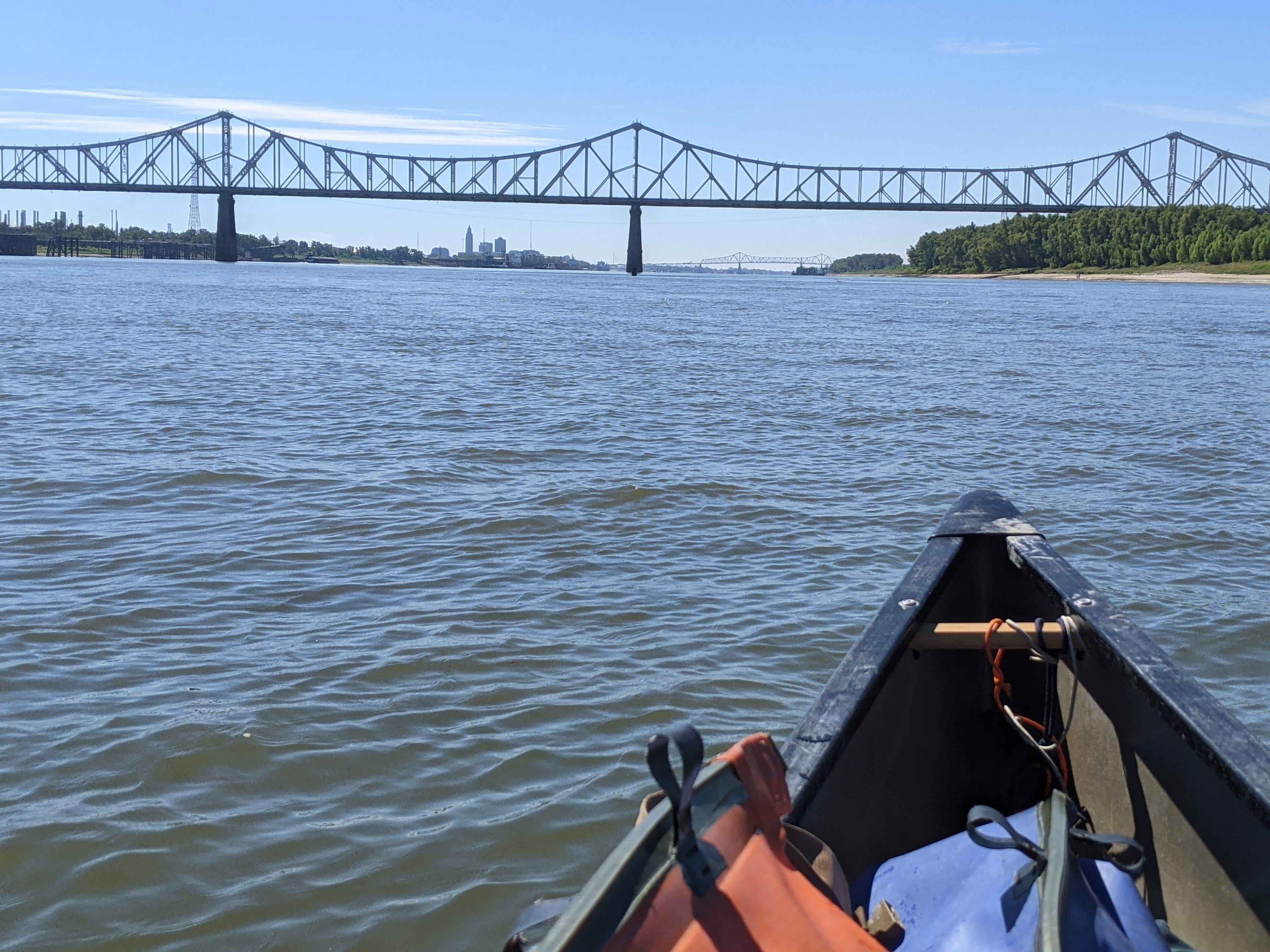
In the afternoon, I came across a bridge that wasn’t on my maps. My maps were printed in 2007, so it must be newer than that! I have noticed a few discrepancies or changes between my maps and reality, but this was by far the largest so far!
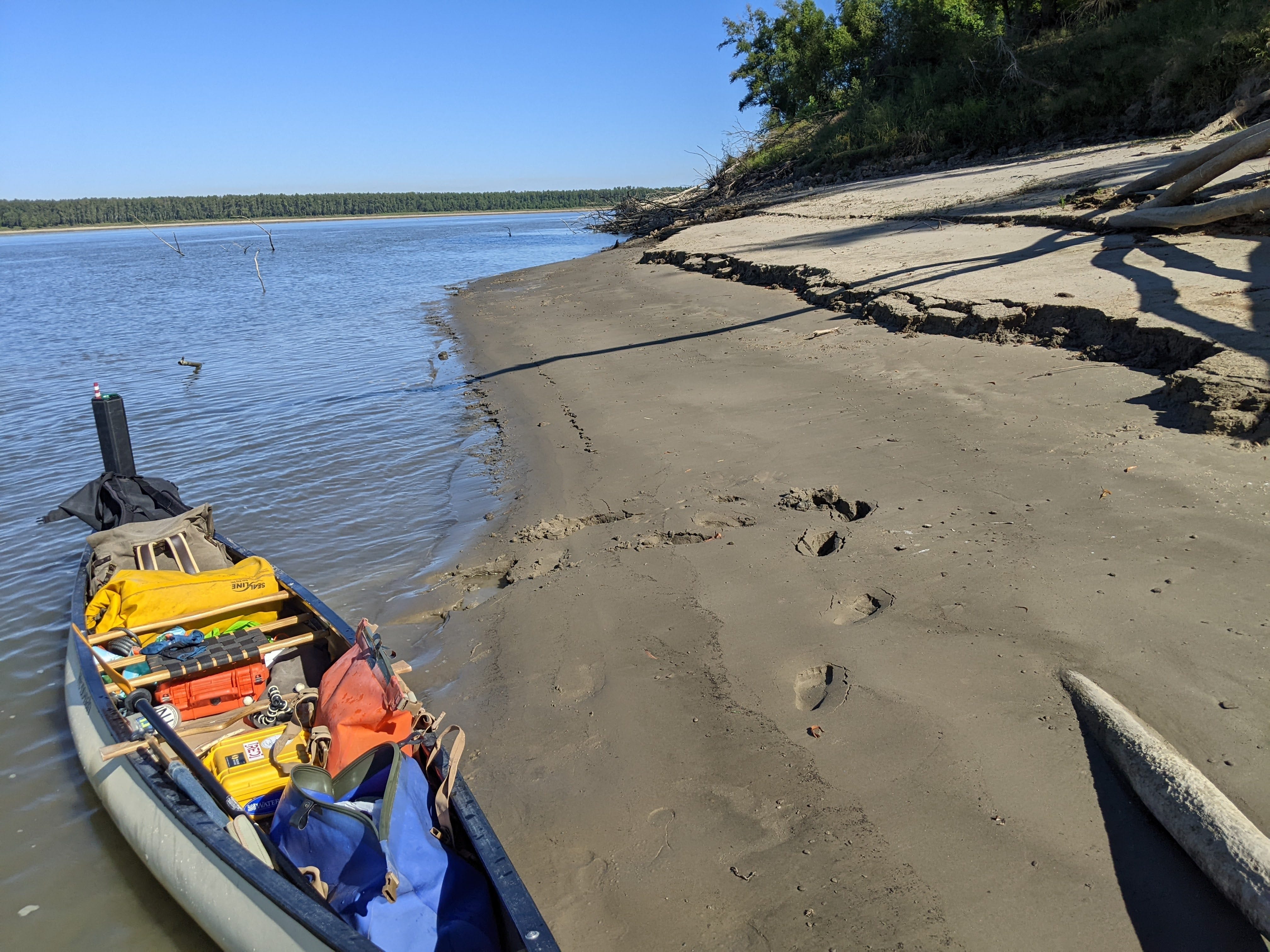
With only 26 miles between me and Baton Rouge, I decided to call it a short day and make camp at Point Menoir. It is a nice hidey-hole site with great afternoon shade. Tomorrow, Baton Rouge!
Day 86: Point Menoir → Baton Rouge
Date: October 2nd, 2022
LRM 255 → LRM 229
Distance today: 26 miles
River Time: 6 hours
Countdown to Baton Rouge, LA: 😎
Local Gauge: 5.4 Baton Rouge Gauge
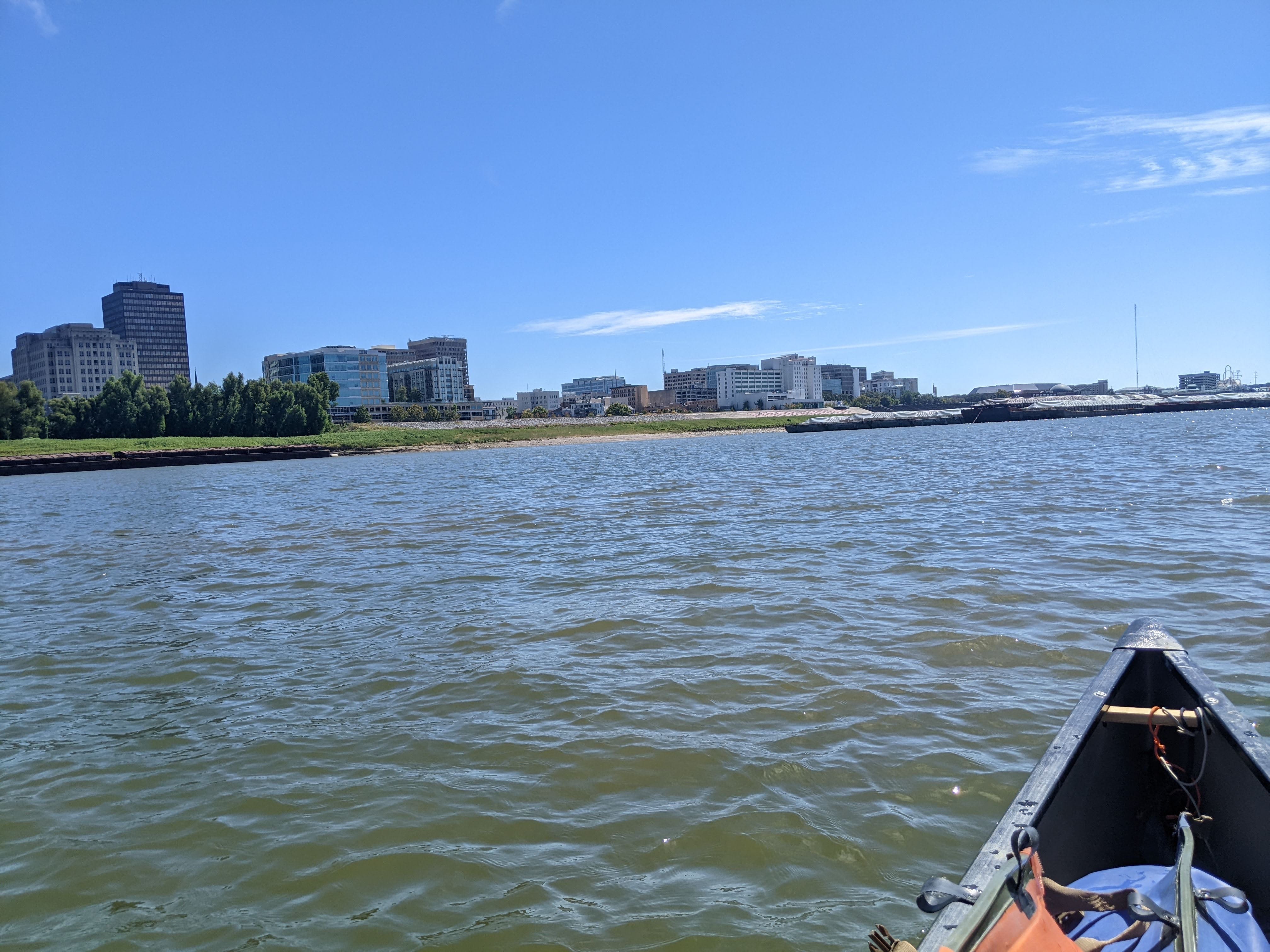
Even though I’ve been camping in Louisiana for the last week or so, I have yet to set foot outside the levee in Louisiana in my entire life. Louisiana is a new state for me on this trip. So needless to say I was excited to be heading toward Baton Rouge.
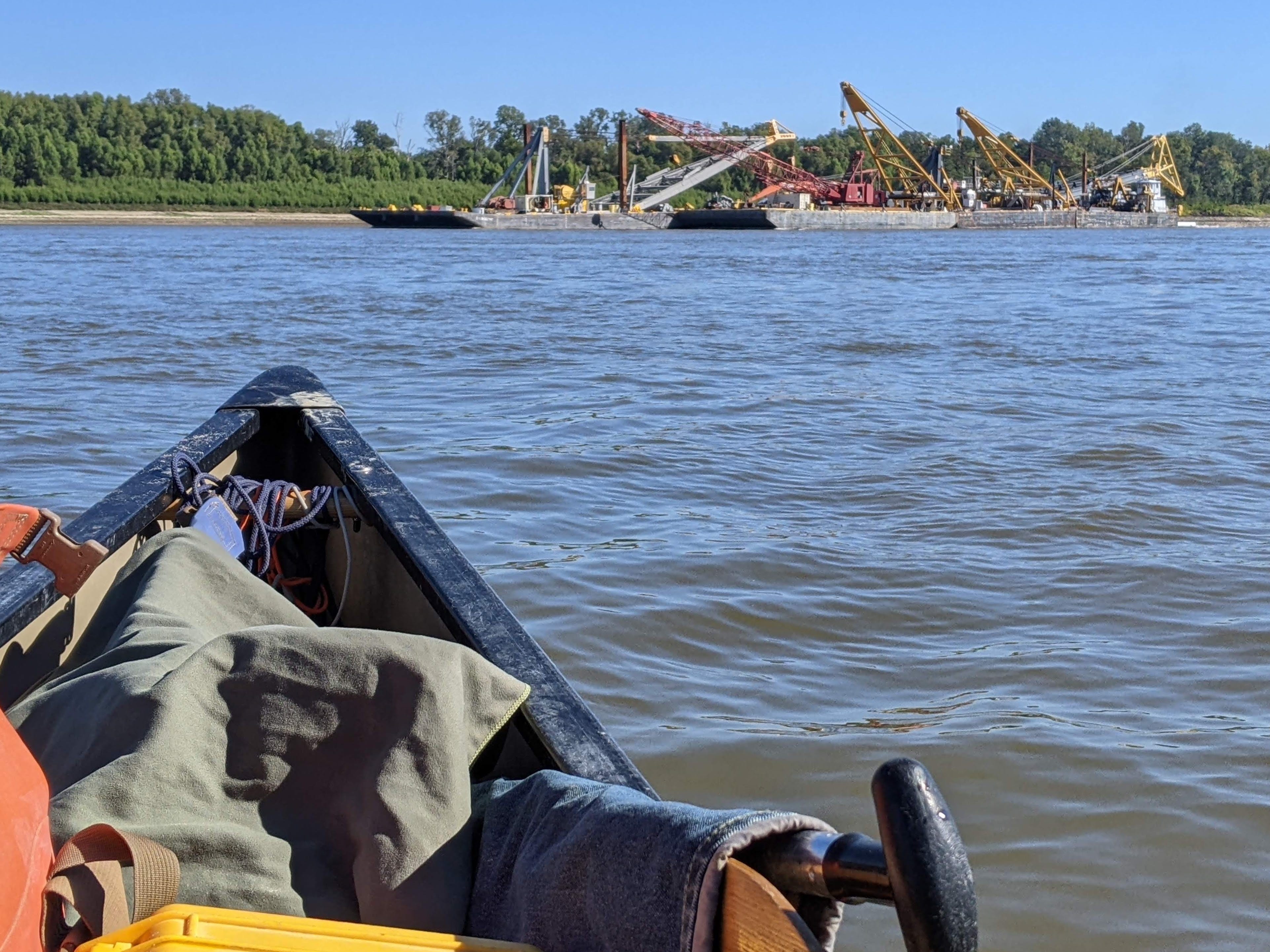
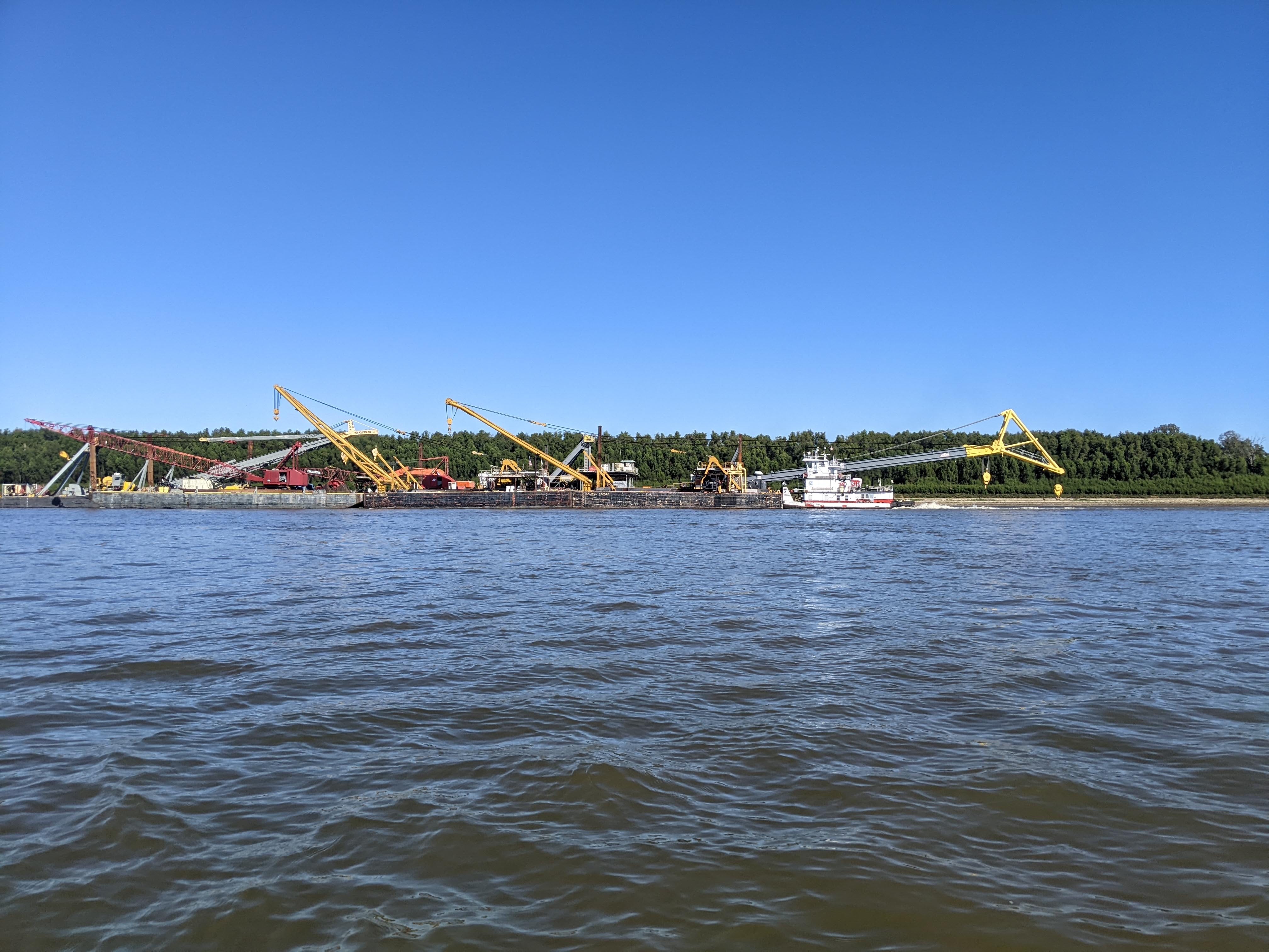
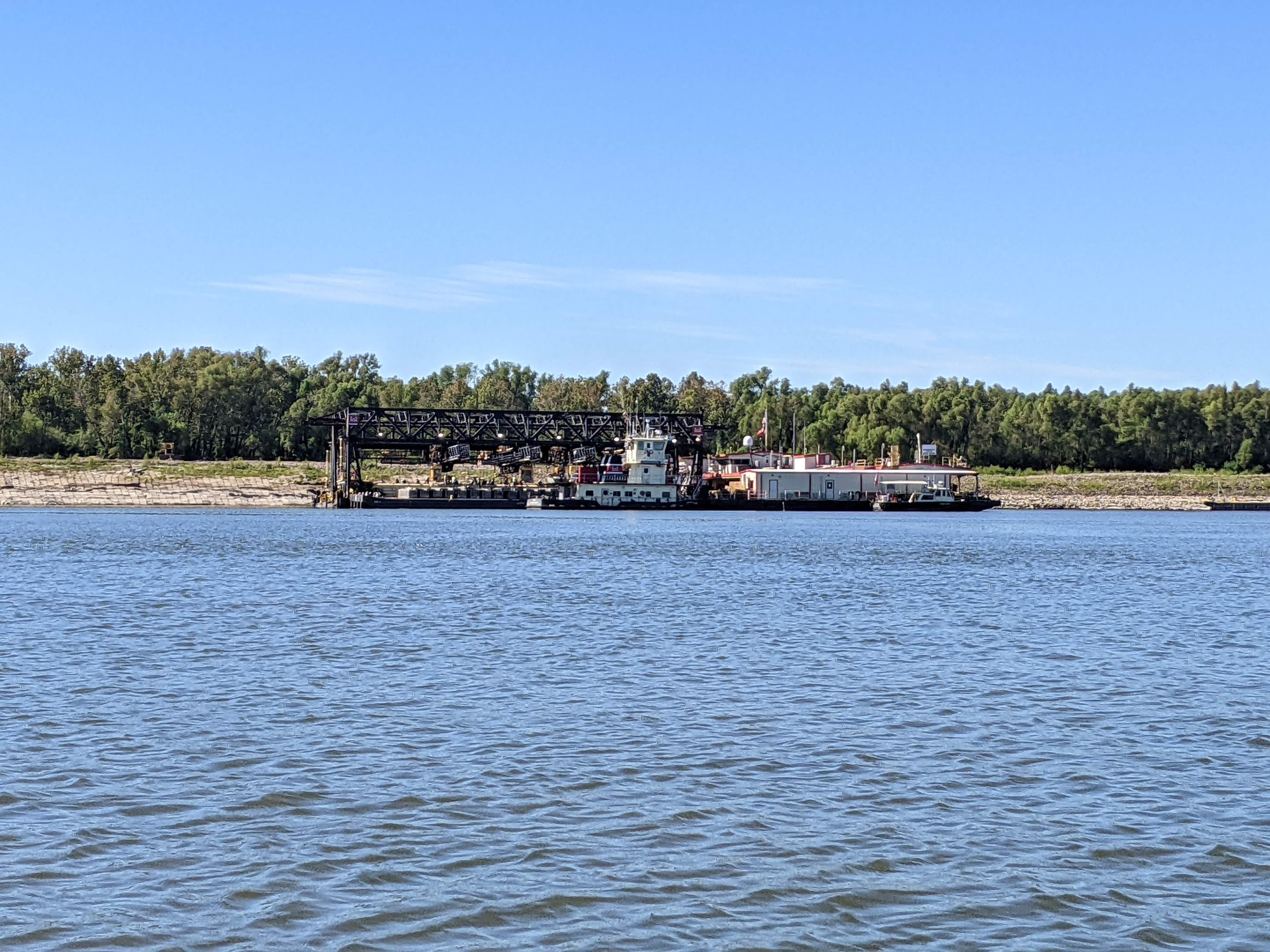
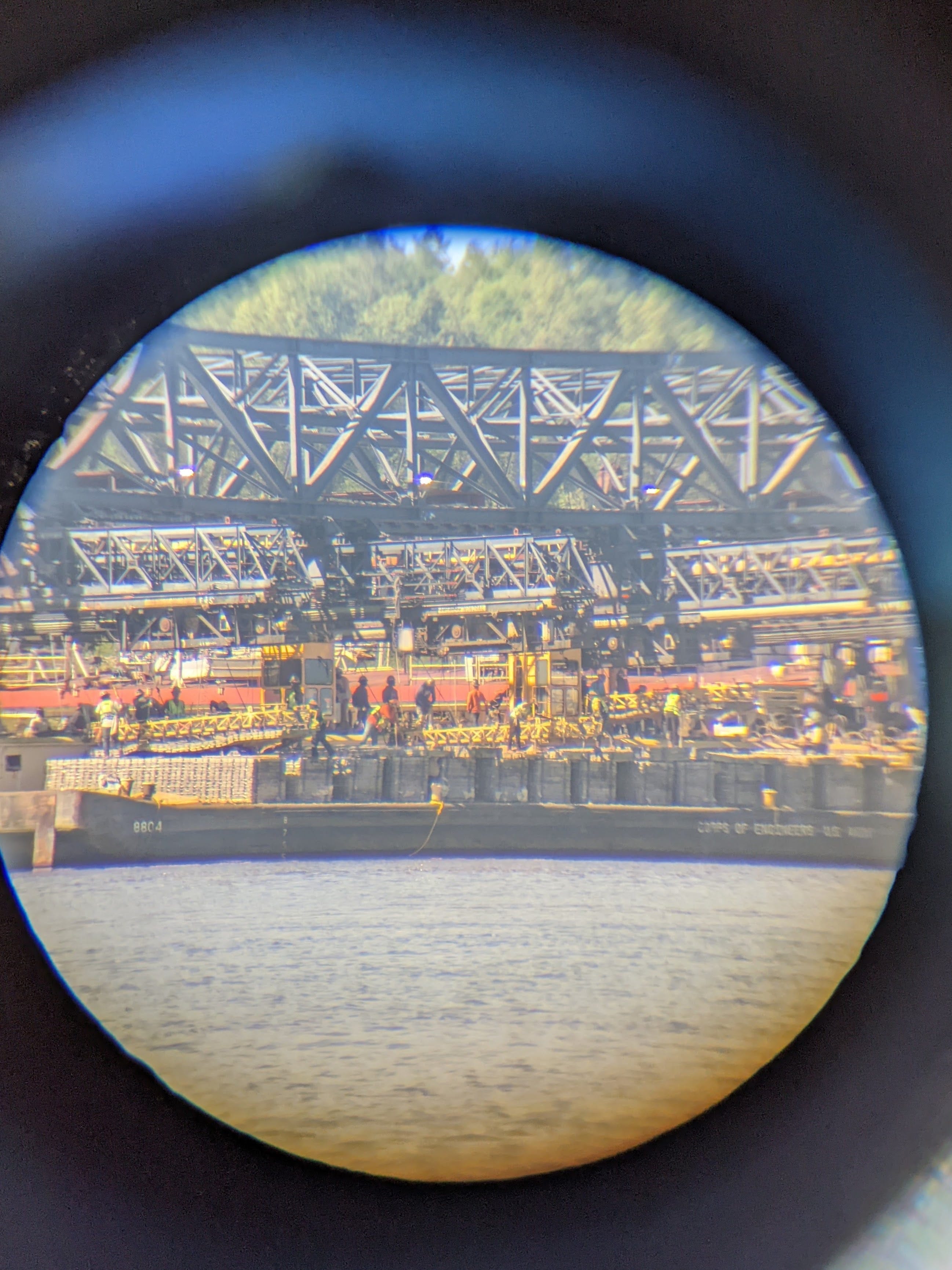
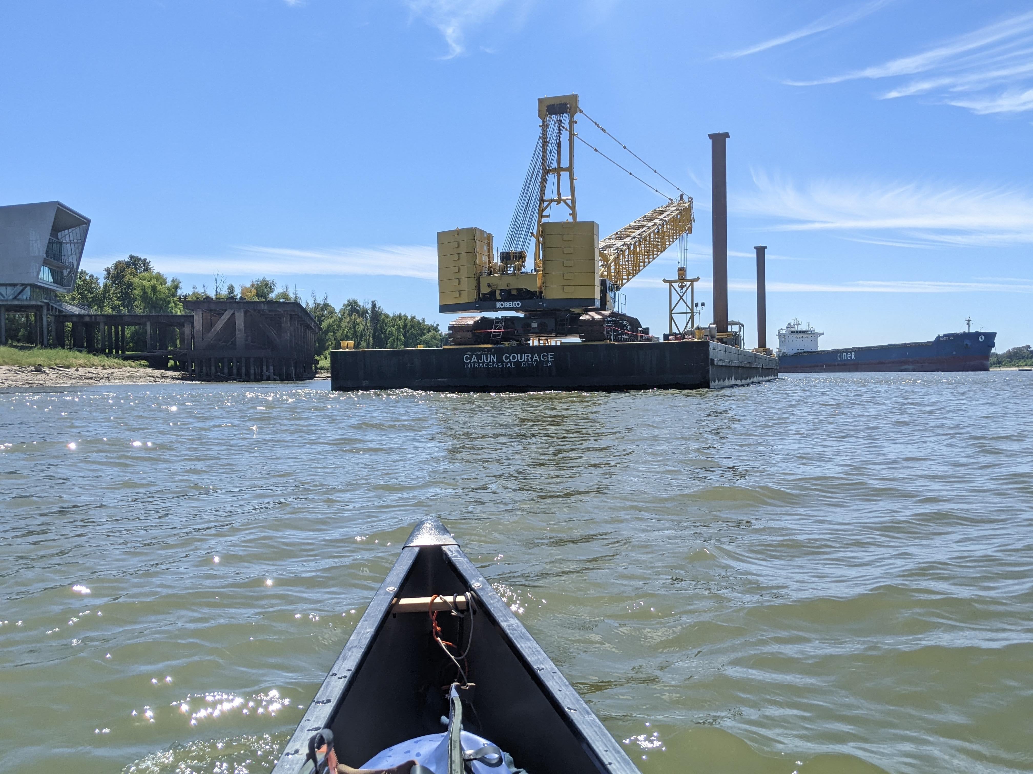
Before I got to the port, I saw a few interesting things. I saw the USACE “Mat Sinking Unit” which installs new revetment “carpet” mats along the river banks. Basically, it’s a bunch of concrete that prevents erosion. The best time to do this work is in low water, as the most river bank is exposed. I was surprised to see them doing this work on Sunday, but that is our tax dollars hard at work right there!
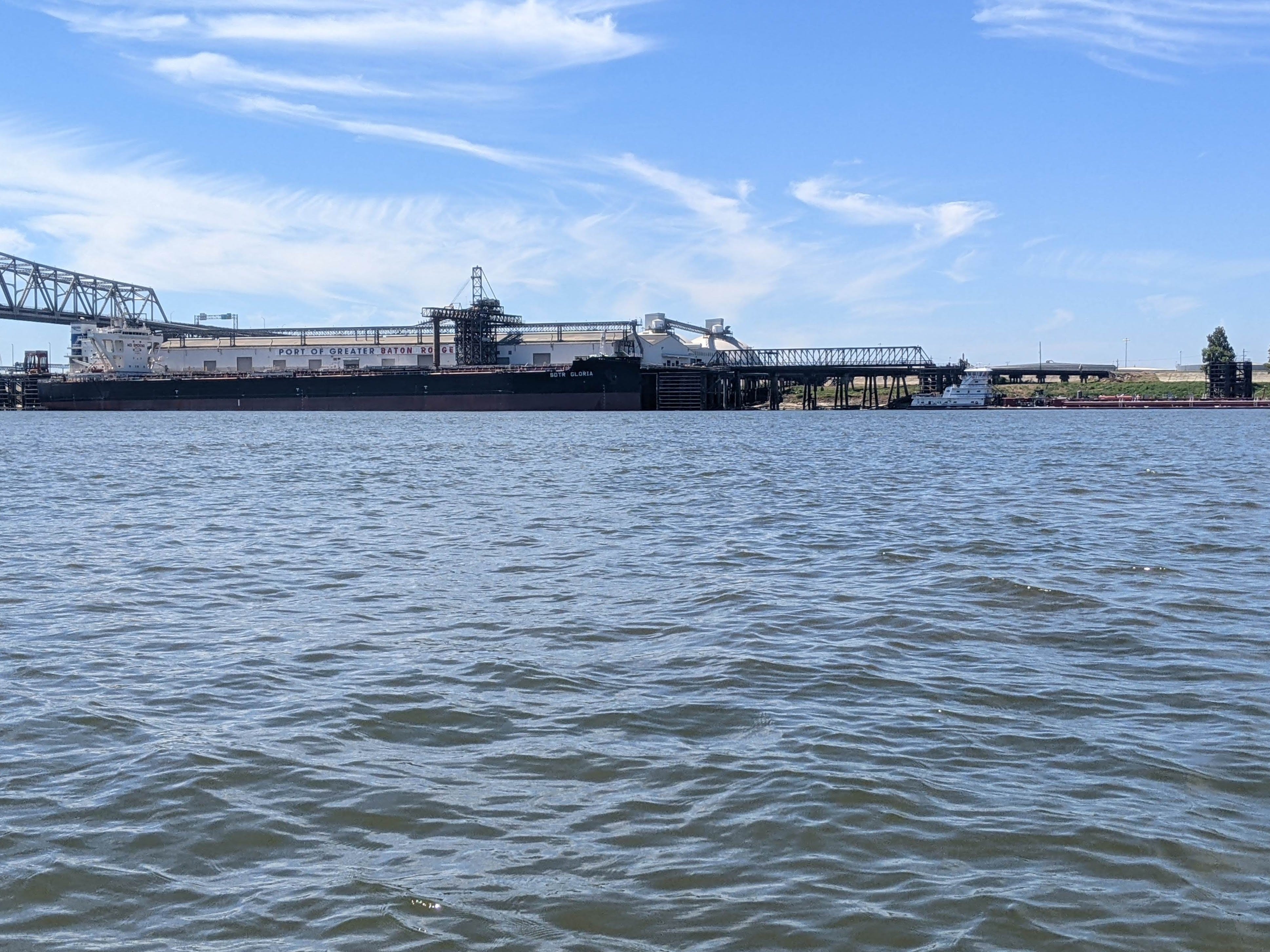
When I officially entered the port of Baton Rouge, things turned chaotic pretty quickly. The amount of barges parked on both sides of the River, and of course tows moving around spiked dramatically. Even on a Sunday. In addition, I saw my first ocean-going vessels, which can only go as far as Baton Rouge.
These are mammoth ships, which dwarf the tows I’ve been seeing. Rumor has it that the Huey Long Bridge in Baton Rouge was intentionally made low, to guarantee a monopoly on all ocean traffic.
Below are a few scenes from the Greater Port of Baton Rouge.
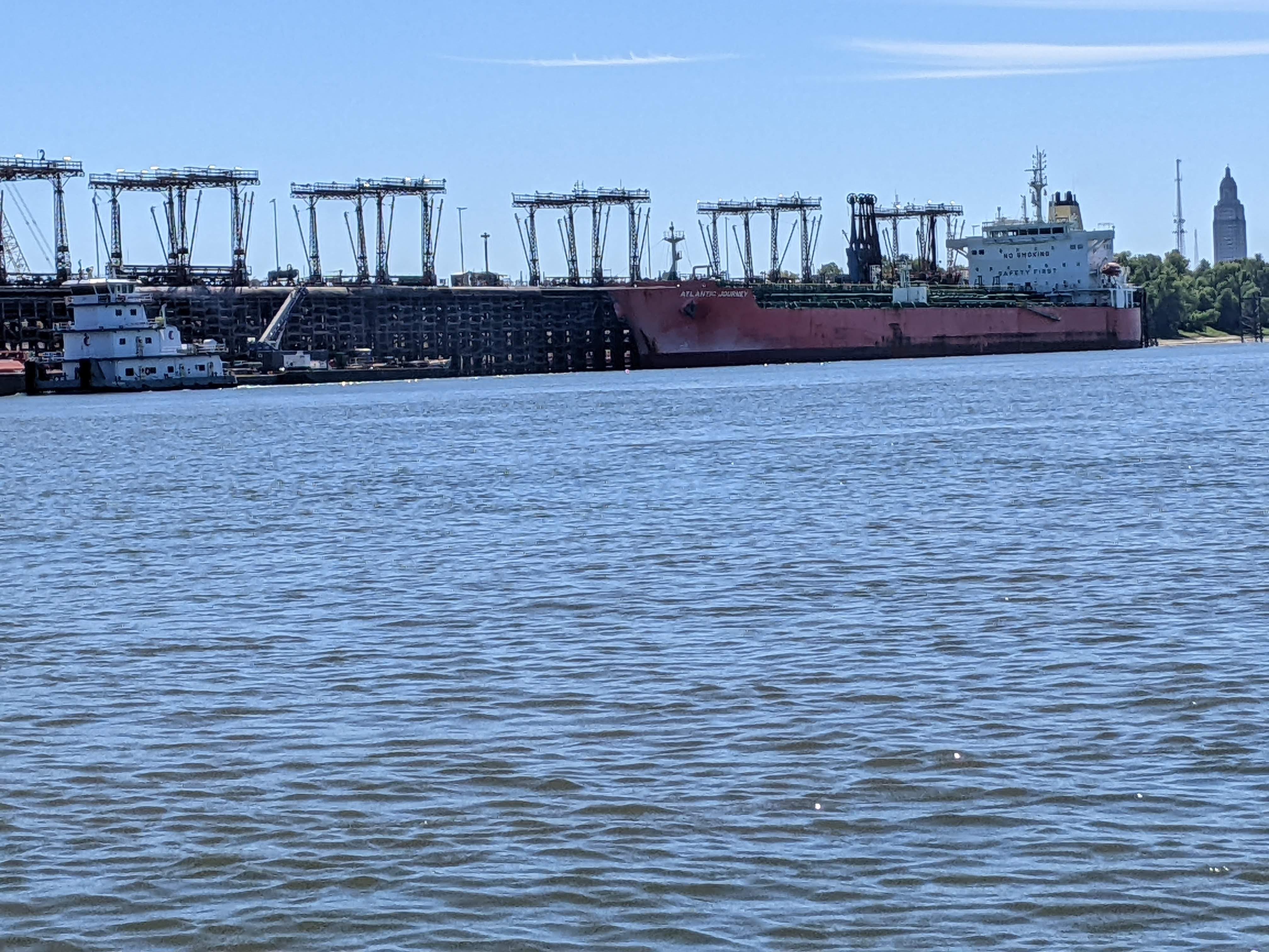
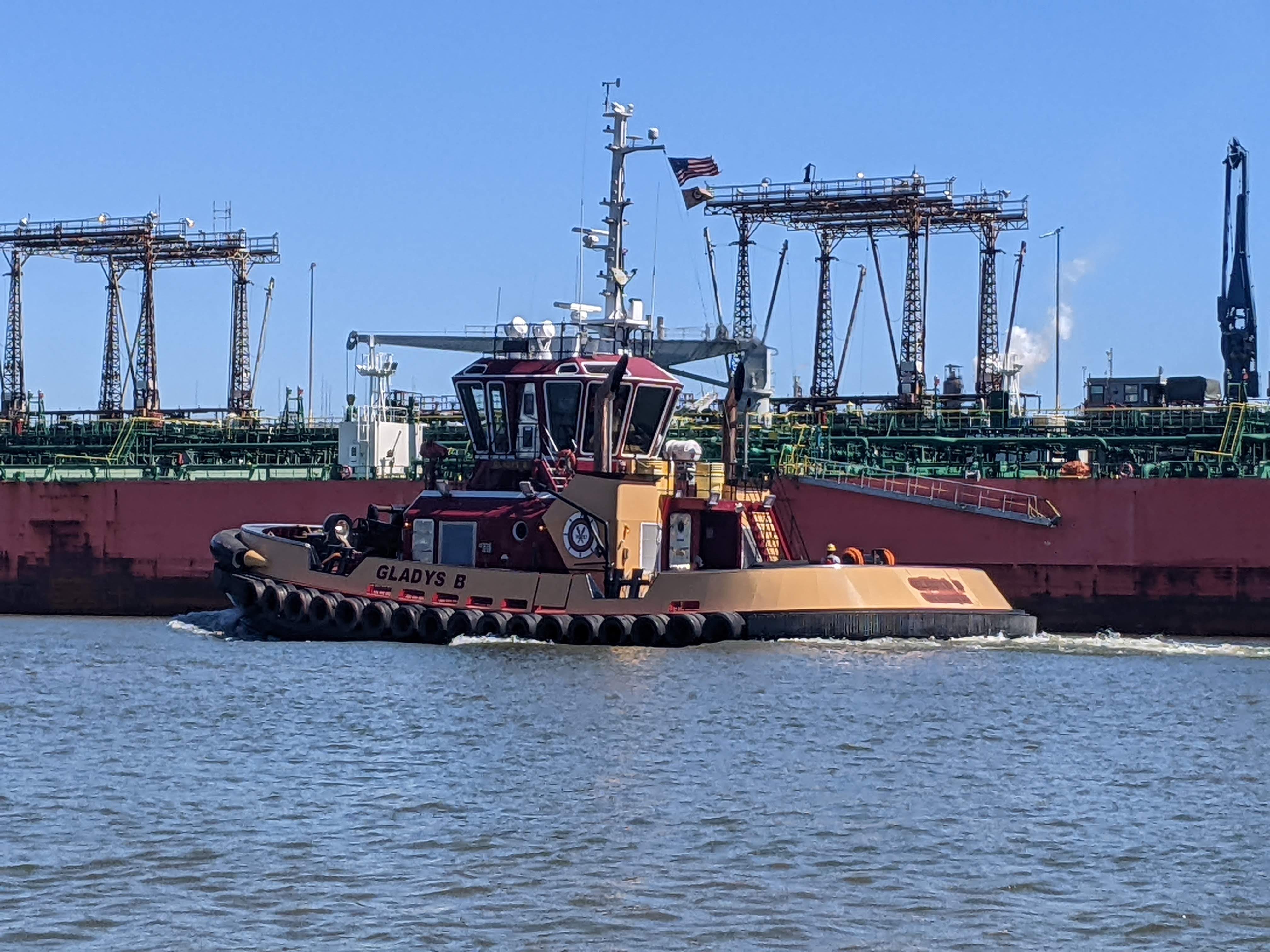
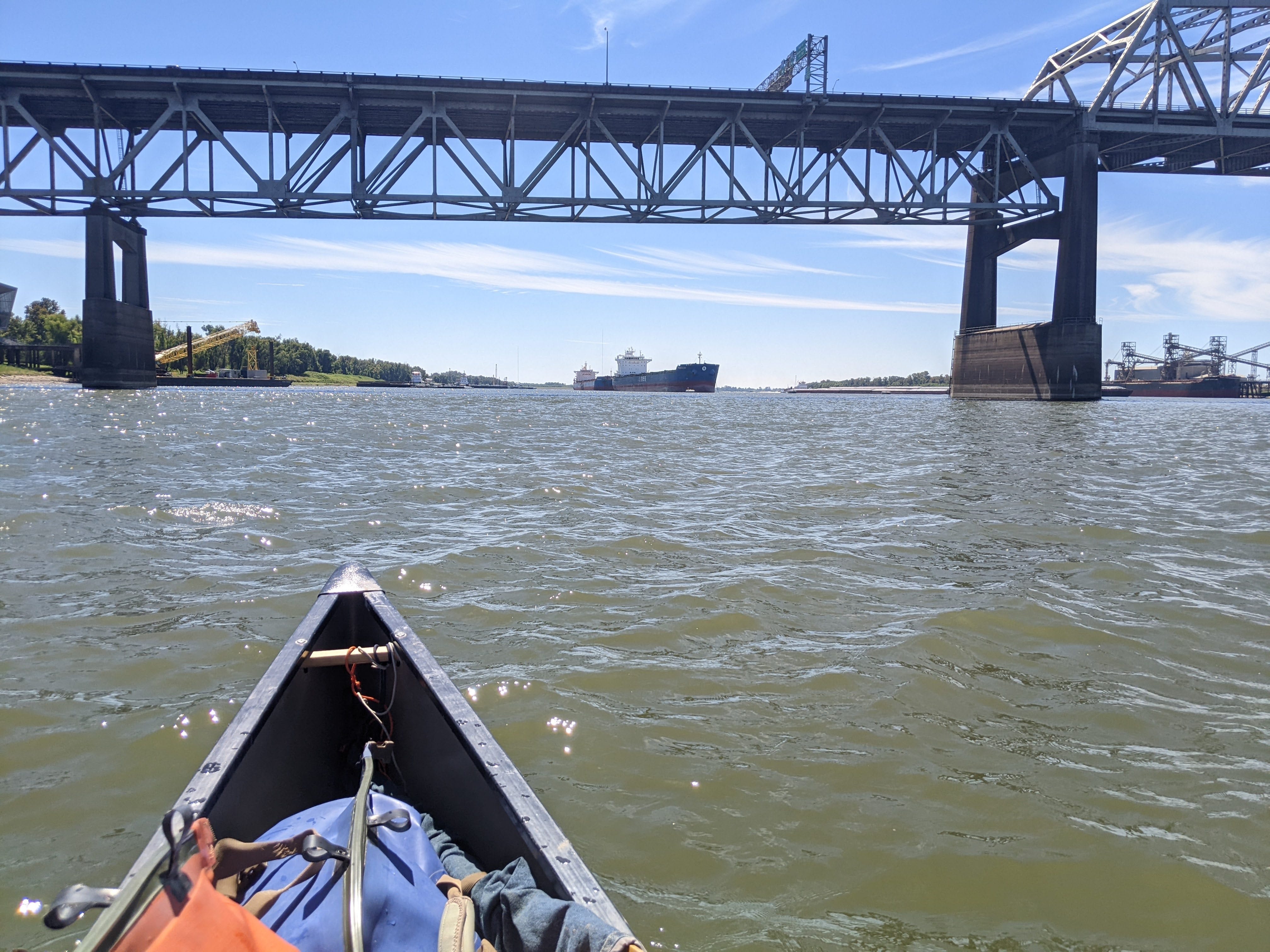
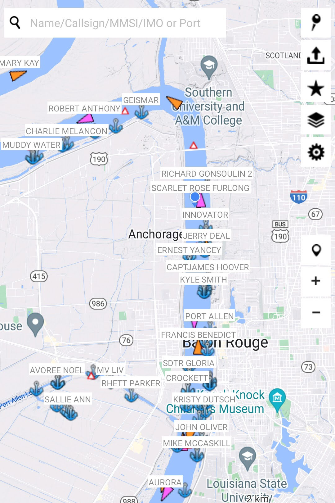
Throughout this whole stretch, the River was crowded. There wasn’t a lot of room to maneuver and things changed quickly. The River is low so the River is narrow, and this is exacerbated by miles and miles of moored barges on each side of the River. I am unable to paddle along the edge of the River (as I try to do during busy stretches), because there are barge containers covering every inch of it.
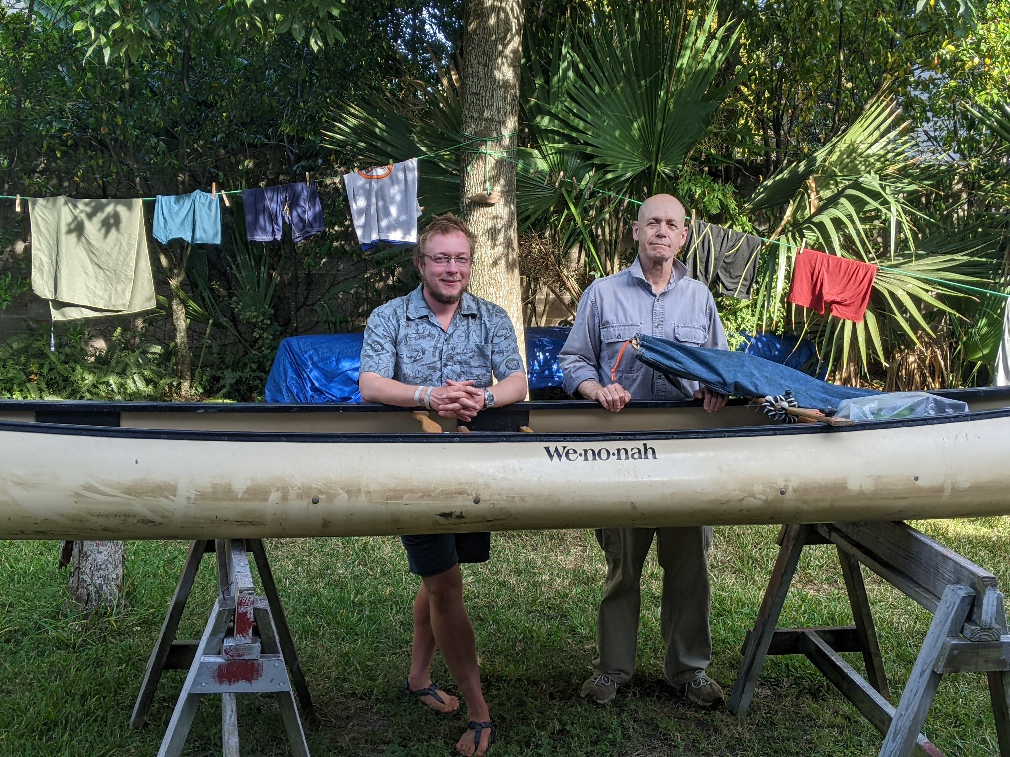
After all this chaos, it was a relief to see the boat ramp. I met my good friend Mike who lives in Baton Rouge, and he helped me unload the canoe. Once over the levee, it was my first time in Louisiana outside of the confines of the Mississippi River levees!
I got cleaned up and did a little packing, reorganizing, and food shopping as usual, and had time to just relax as well. I had some excellent food that hit the spot. It felt nice to be in such a calm place after the din and constant movement of the port.
Thank you to Mike for your great hospitality and help with logistics during this stretch of River! I truly appreciate it.
It’s been a very long day of excitement and changes, so I’m hitting the hay. Tomorrow I hit the water for a shorter day to Plaquemines probably.
More photos from Baton Rouge
Congratulations on reaching this major milestone!
Congratulations on reaching Baton Rouge! Glad you had a rest stop there with your friend. The tow app screen shot is very interesting and certainly shows the large amount of activity. Some of the tow names are very descriptive as well!