Day 95: Bohemia Beach → Venice, LA
Date: October 11th, 2022
LRM 44 → LRM 11
Distance today: 33 miles
River Time: 13.5 hours
Local Gauge: 2.8 New Orleans Gauge
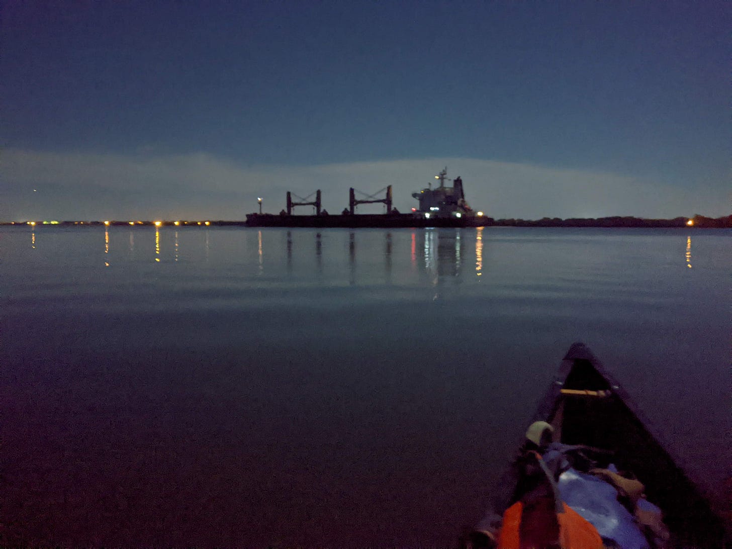
I woke up at 2:30 a.m. to beat the winds today. I don't usually do this, but with the near-full moon I couldn't resist.
I am so glad that I did, too, because it was such a serene and pleasurable morning. As usual, Orion was there to greet me, and the full Hunter’s moon was aglow overhead. The moon illuminated the River quite well; I never felt ill-at-ease.
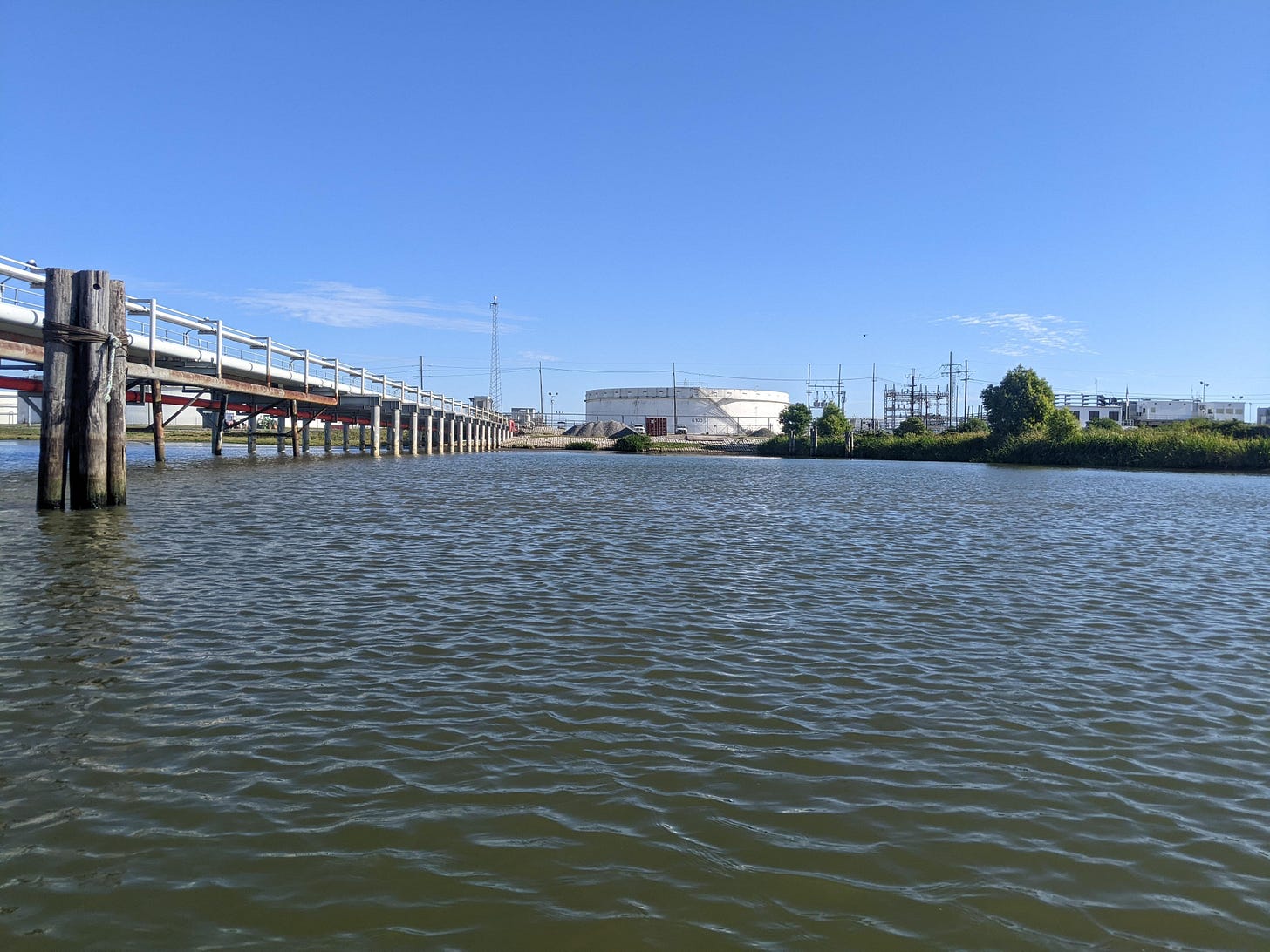
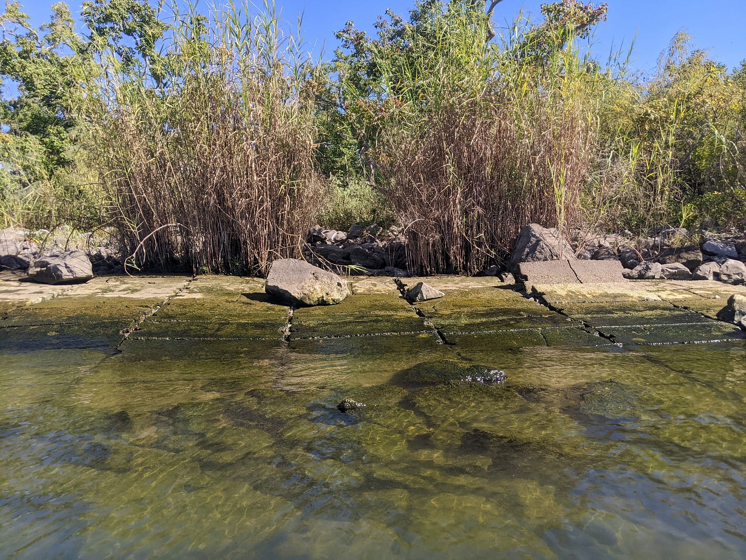
As soon as the sun came up four hours later, the winds came with it. I was able to avoid most of the onslaught by taking cover on the left bank for most of the day, which was nice. During this time, the scenery started to shift into more of a flatlands, much more marshy, with less solid ground to speak of.
I began to see passes — shortcuts to the Gulf of Mexico. They were breathing water in and out with the tides. More and more, I began to catch glimpses of wide open expanses over the levee on the left; the land became more sparse and the ocean took over.
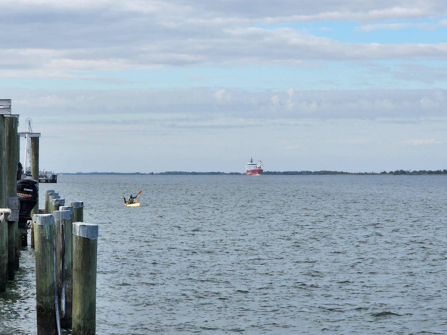
Eventually the River curved, and I had to make my crossing. The crossing was the toughest part of the day — the waves are always biggest in the center of the channel. There were big frothy whitecaps for the 20 minutes it took me to cross.
Once on the right bank, I decided not to cross again, but face the wind instead. I thought it would be better to face the wind head on for the last ~9 miles rather than make another crossing.
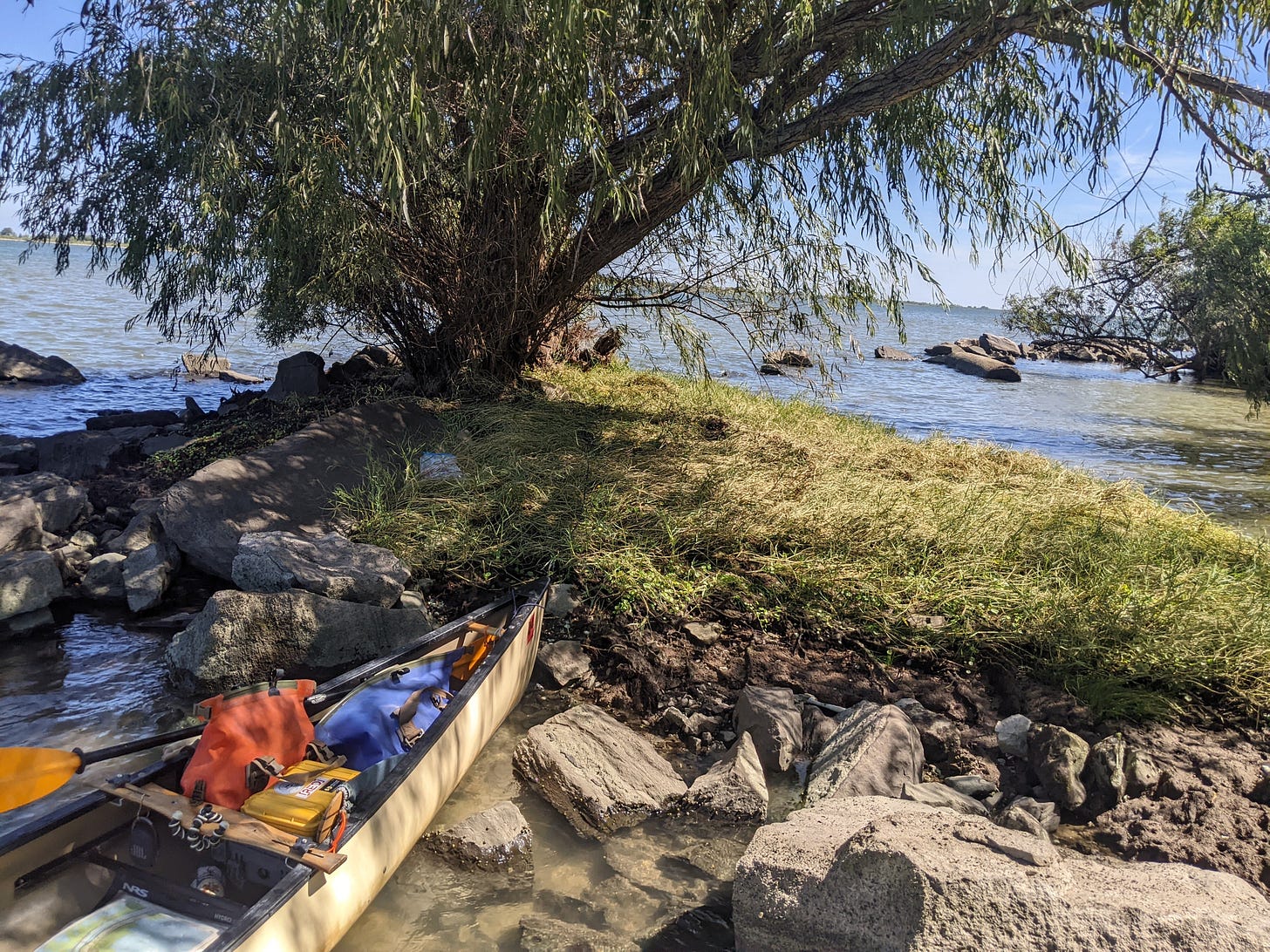
I stopped at a very small island for lunch and a break. It has no name on the map, so I declared it Picnic Island.
The last few miles to Venice were in direct wind, but the waves were manageable as I stayed close to shore. Along the way, I saw about five dead alligators. Some were far gone, some were recent. One had its head cut off, so I’m guessing it was a trophy. The one below was, I believe, hit by some sort of propeller, because its backside was torn up.
In the final stretch to Venice, I was really starting to feel the fatigue. Paddling for more than 12 hours will do that. It was a sight for sore eyes when I saw my buddy Joe Solomon waiting for me at the Venice boat launch.
And so that was it: I had arrived at Venice, the southernmost point in Louisiana.
Venice, LA
If you look at Venice on a map, you’ll see that it’s at the very end of a long spit of levee, 90 miles south of New Orleans. By any rights it should be part of the Gulf of Mexico.
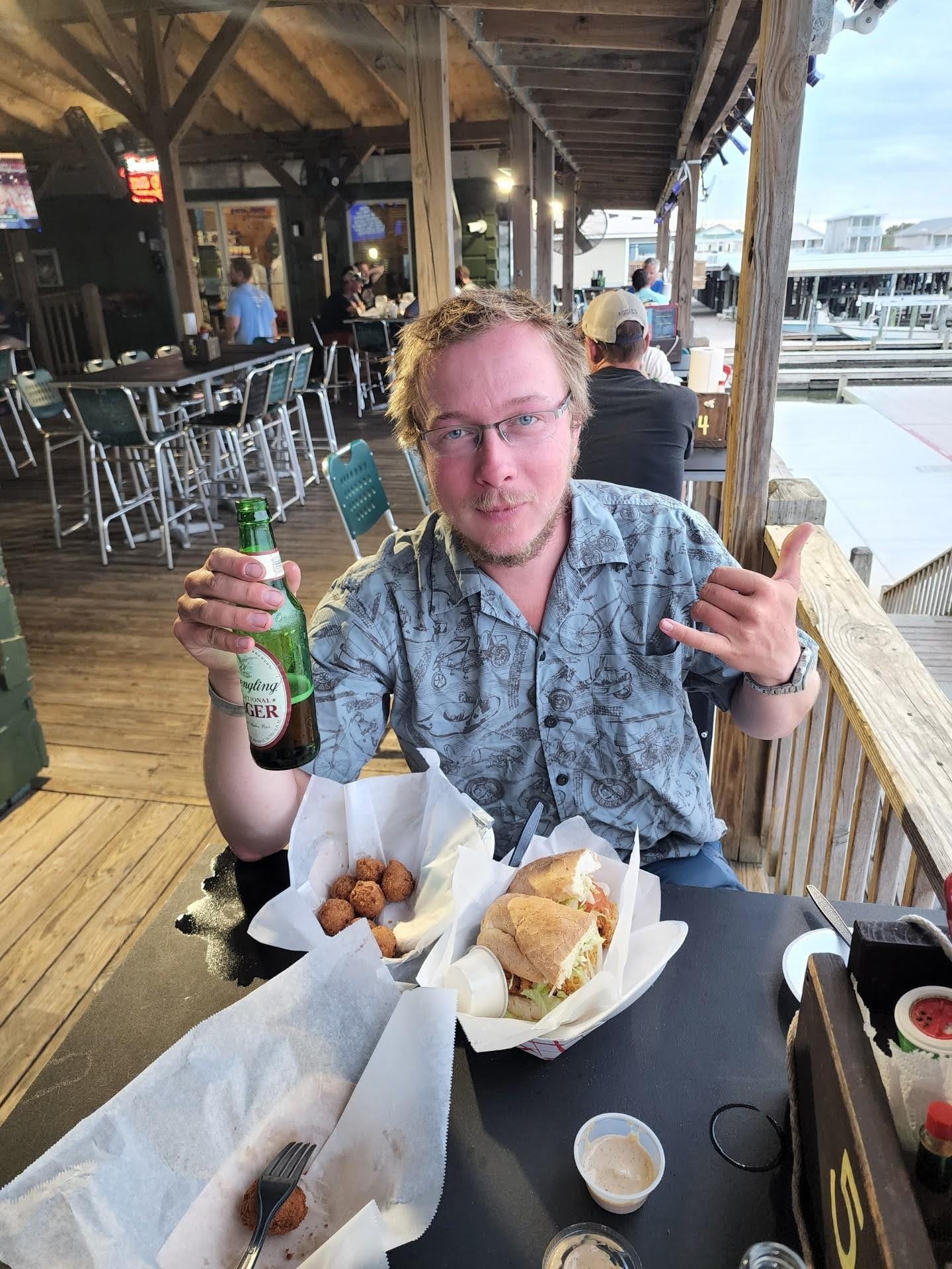
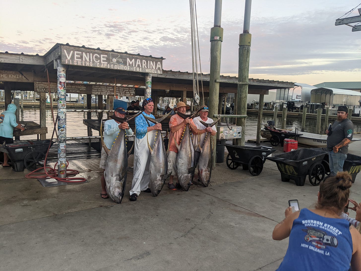
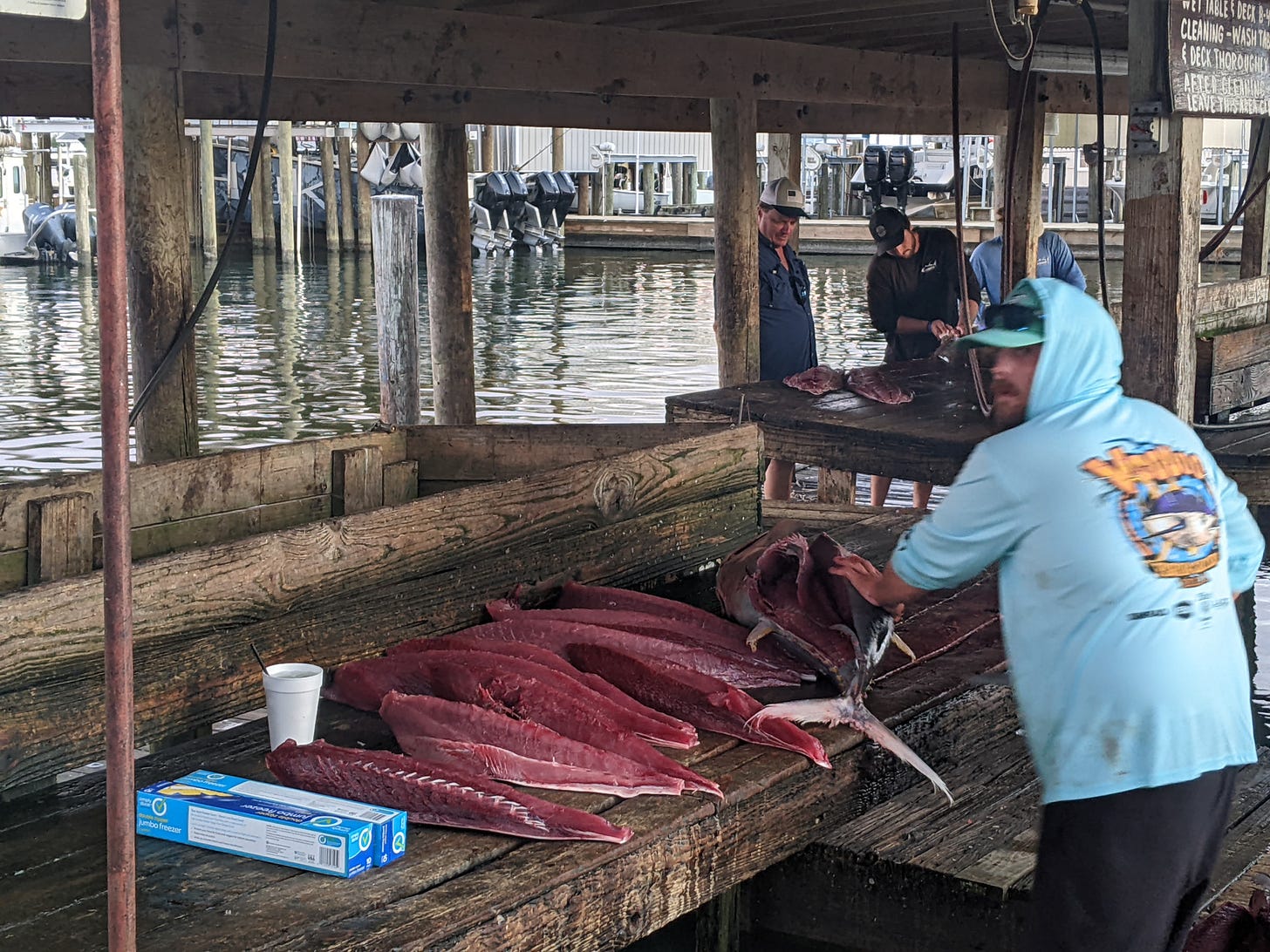
Venice is a huge fishing destination, and after getting cleaned up, Joe and I visited the marina for some grub. There were hundreds of boats and people, either coming in or going out fishing. It was a hub of activity, boasting about the day’s catches and swapping information. I talked with some fishermen who had caught two tunas weighing 180 pounds each.
We had dinner at the marina, and I had the Red Snapper Po Boy, with freshly caught red snapper! It was some delicious recovery food, and tasted so good after a long day’s paddle!
I went to bed early after being up since 2:30 a.m.
Day 96: Venice, LA → Venice, LA
Date: October 12th, 2022
LRM 11 → LRM 11
Distance today: 0 miles
River Time: 0 hours
Local Gauge: 2.9 New Orleans Gauge
Today I am taking a rest day with Joe in Venice. There are a few reasons for this. The first is that there are big thunderstorms in the area, so it just simplifies things to do a rest day.
Second, of course, is recovery. After a few long days paddling in Hurricane Julia’s winds, I’m ready for a break.
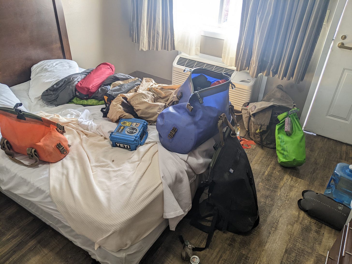
Third, we need to repack the gear for a two-person configuration. I’m not going to bring everything, only the essentials for two days. Fourth, is so we can take our time planning the next couple of days and not be rushed.
Tomorrow and Beyond
Let me take a moment to explain the game plan here for the end of the trip. Venice is located at mile 11, meaning I have 11 miles until the end of the Mississippi. Getting to Mile 0 has always been the primary goal of this trip. Mile 0 is also called The Head of Passes, where the Mississippi splits into 3 prominent passes. There is a Mile Marker 0 buoy there, to which Joe and I will paddle tomorrow.
Once there, we will asses the conditions and likely go onward to my secondary goal, which is the Gulf of Mexico. We will take the South Pass an additional 13 miles to the Gulf of Mexico, where it will finally look like open ocean. I want to camp on South Pass Island, with expansive ocean views, and then head back the next day.
Notable landmarks for tomorrow include: Pilottown (Mile 2), Head of Passes (Mile 0), the South Pass, South Pass Island/French Beach.
There is absolutely zero cell service past Mile 0, so I’m leaving my iPad behind. Expect the last update on the 15th when I return.
Some photos from the day:
River Log Days 90-94
94 - Algiers Point: LBD small sandbar forms after the point, only in low water. Goes under around 5-6 New Orleans Gauge. Above this, camping still available in grassy flat area beyond.
77-78 - Shingle Point: LBD really good low water camping. Muddy-ish landing but short walk to willows.
68 - Wills Point: LBD. New revetment now up to 68.4. Good camping begins soon after that, near upper Anchorage sign.
64.5 LBD - Hidey hole near mouth of canal with good sand.
59 - Poverty Point: After 60 buoy, continue past flat expanse of wetlands. No good camping here. Go around point to find good willow forest close to the water, but with poor landings. In extremely low water sandbar landing can appear, but otherwise would be a mud ledge to climb up. Once on ledge, camping is good in willow forest. Best spot is probably right around 58.9, but hidey-hole type spots exist all the way through 58, where the revetment begins again.
33 LBD: Bayou Lamoque entrance. Good camping.
31-29.5 - Pleasant point: LBD. Long muddy approaches with grassy spots to put a tent. Definitely not the best camping, but would do in a pinch. Sloppy landing in low water, but good flat areas beyond. Beware of cows. Active graze area.
24.5 LBD: One small beach with firm sand near mouth of outlet. Before Neptune Revetment begins.
17.7 RBD: Primitive boat launch would make okay camping. Mowed grass.
13.3 RBD: Primitive boat ramp and flat spot.











All the best for a safe and enjoyable final push of an amazing journey!
Picnic Island.. love it! Nice seeing the tuna and the sliced beautiful tuna meat. Cheers brother... enjoy the trip to the gulf and the completion of the Source to Sea! Whoo whoop!