


Day 6 - Crossing Cass Lake

Hello all!
Quick update today, as I had a shorter day, and I need to rest up before the big day tomorrow!
Day 6: Star Island → Becker Campsite
URM 1262 → URM 1248
Distance today: 14 Miles
River Time: 5 hrs
As I was trying to rest up for the day ahead, an uninvited visitor was ruffling through my things. I awoke at around 3:50 a.m. to the sounds of raccoons digging through my camp! I caught them early, they had only ripped into one ziplock so far, containing my ropes. Luckily my food was about 30 feet above their heads in a pretty good bear hang, so all was good there. I scared them off, but slept lightly from then until dawn.
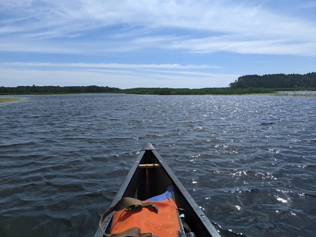
I got up early and packed up camp. I knew today would be windy, so I wanted to get ahead of it. Once on the water, I was in a protected bay, but as soon as I put the point of Star Island behind me, Cass was a different lake. It was a frothy and angry Cass who was just waking up. There were already some whitecaps at 7 a.m. when I was in the middle of my crossing; I can only imagine what it’s looking like as I write this.
Here’s a short video illustrating the conditions of Cass during my crossing:
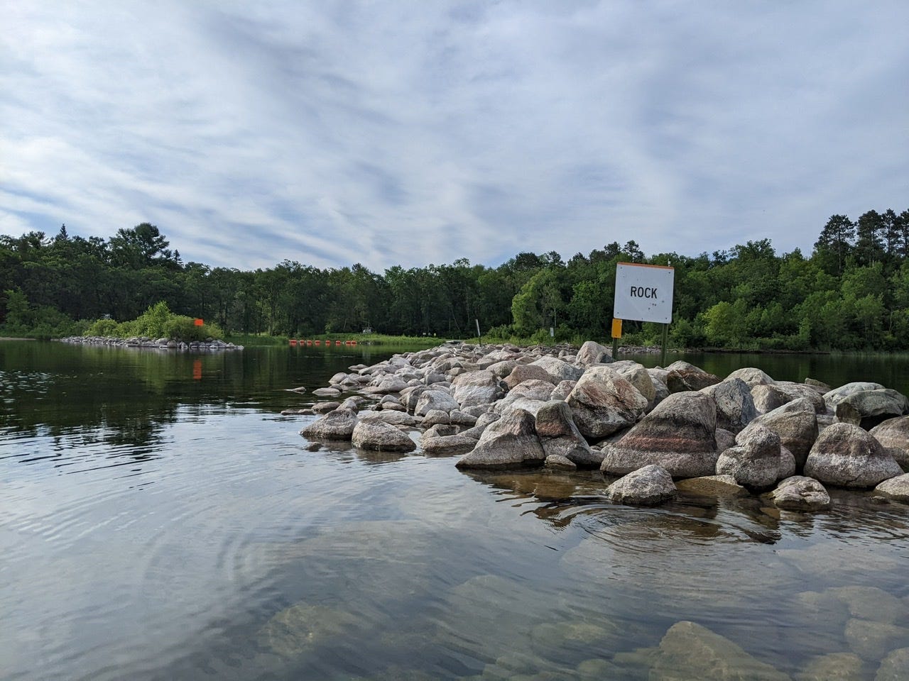
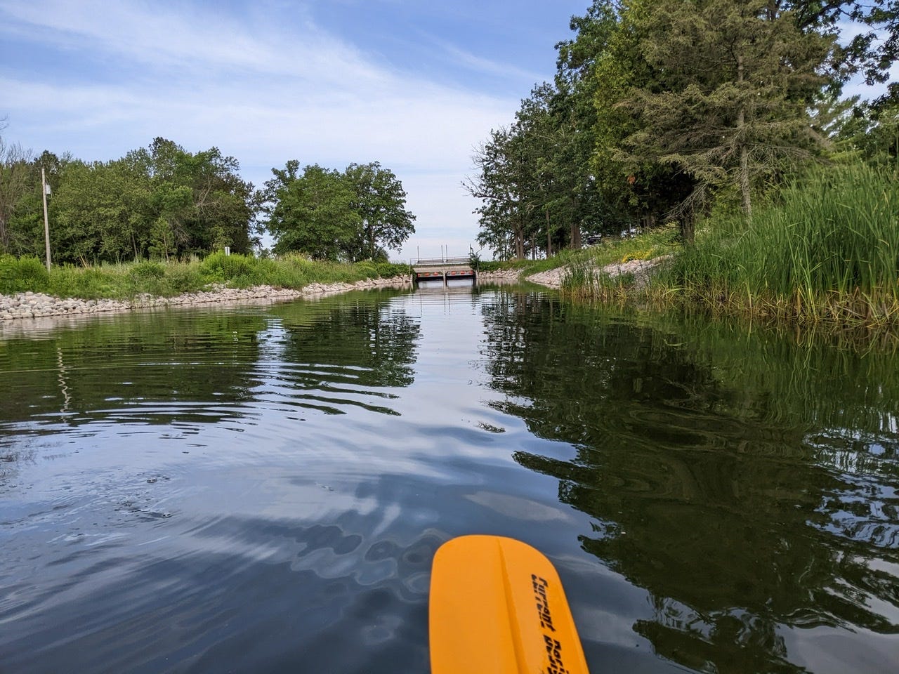
It took me about 1.5 hours to arrive at Knutson’s Dam. Once I did, it was a very straightforward portage down the canal.
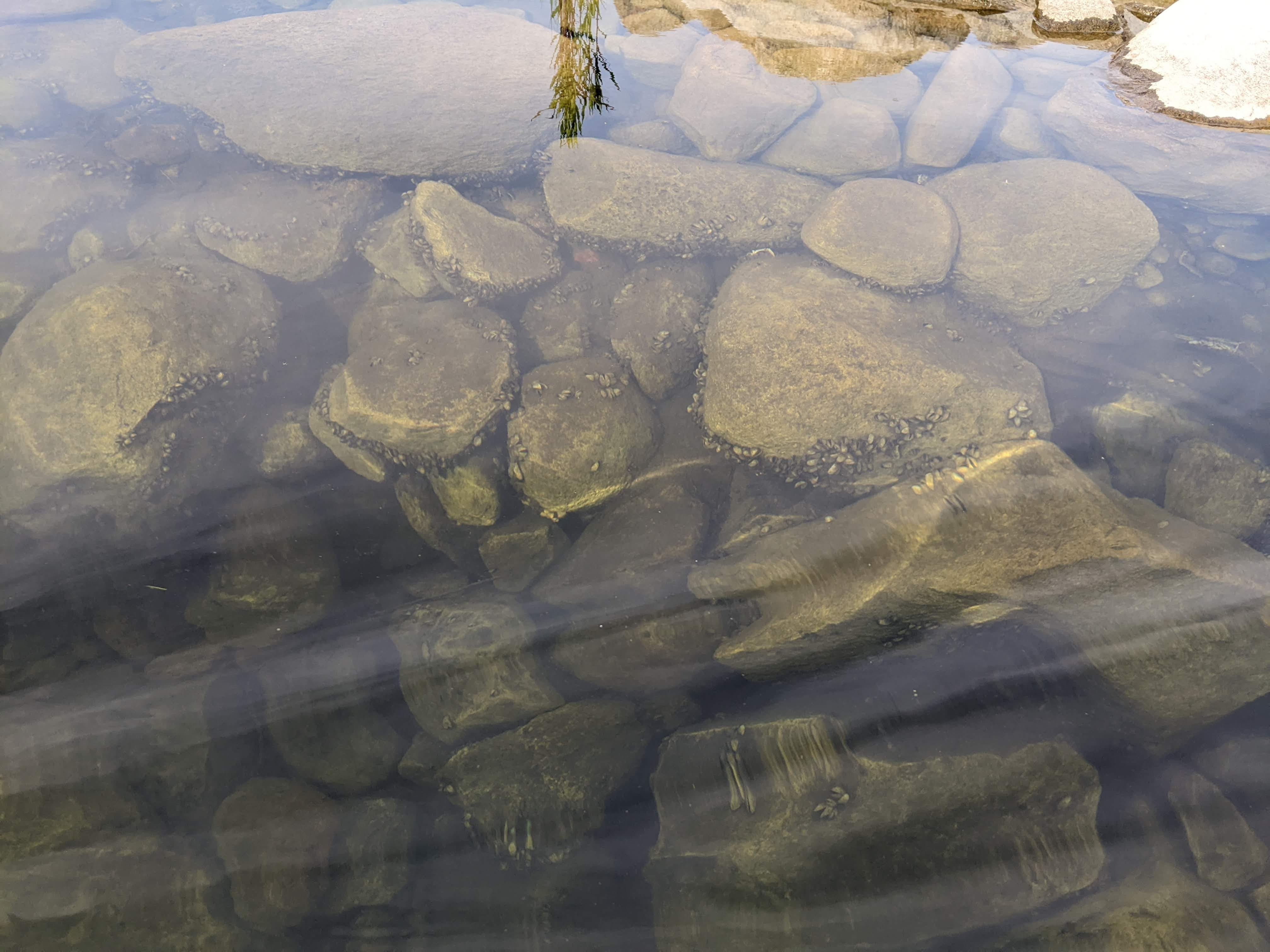
On my way off of Cass, I saw loads of zebra mussels in clumps, on rocks, or just stuck to one another.
The portage was completed with ease, and just like that, Cass Lake was in the rear view mirror. It was a new day, and I was on a new map. You can now follow along with my landmarks here now: https://files.dnr.state.mn.us/maps/canoe_routes/mississippi2.pdf
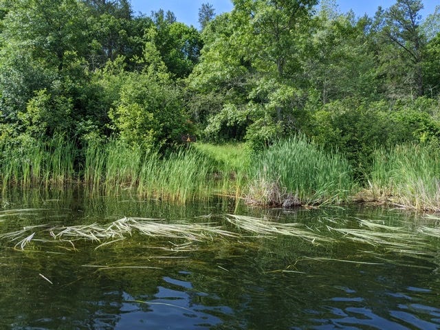
Immediately after the dam, the current was swift, and it was very shallow, and the water ran clear. Gradually the rocky bottoms yielded to the deep, slow-moving waters of the marsh. And I found myself in an expansive wetlands, called the Mississippi Meadows section. There is no longer the risk of the channel disappearing, rather there is too much water to keep track of the channel! This wetlands was somewhere between a lake and a marsh at times.
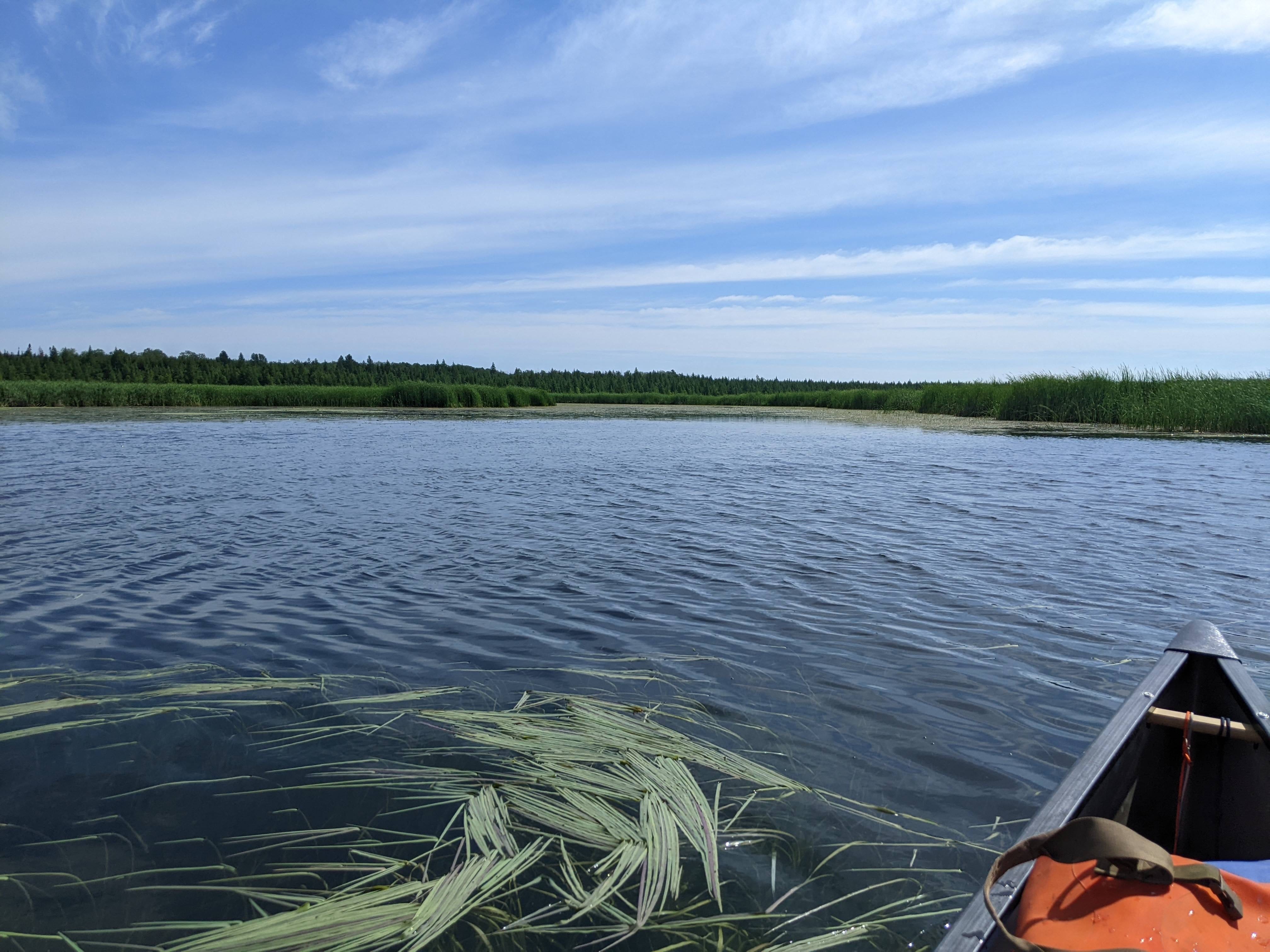
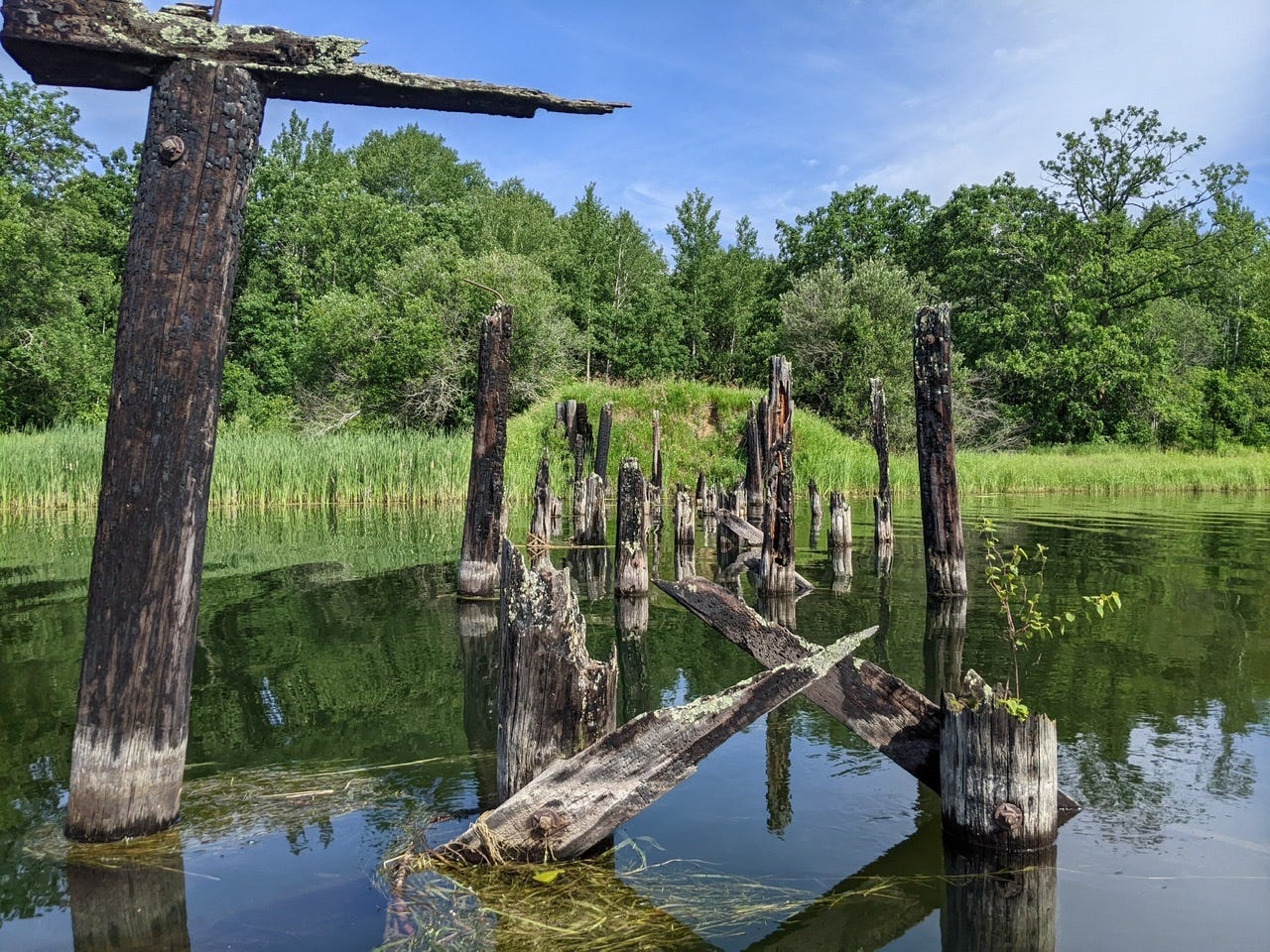
There weren’t very many signs of humans in this section. Just me and the birds. I saw an eagle hunting for its lunch, moving down the channel with me as I scared it farther down. The one interesting thing I saw structure-wise was a burnt down pedestrian bridge, charred beams and all.
Around this time I really started to battle with a strong headwind. The wind was getting funneled from Lake Winnibigoshish into the channel I was on, lined with trees. This created a minor wind tunnel. I stuck to the shores whenever it gave me a brief respite from the wind. That being said, it was a beautiful paddle with the water shimmering in front of me.
I’m now camped about 1 mile away from the mouth of Winnibigoshish, at a place called Becker’s. Tonight I am hitting the hay early for my biggest day yet tomorrow!
Winnibigoshish Tomorrow
Tomorrow is a big day. Cass Lake was a tough crossing, and although it was totally manageable, it did take some strong paddling and vigilance. Between the two days I took to cross Cass Lake, there was approximately 5 miles of open water paddling. Just to put that into perspective, tomorrow’s open water paddling will be around 17 miles. That’s a lot more area for the wind to pick up speed. For this reason, I will be hugging the south shore, out of a healthy amount of respect for Lake Winnibigoshish.
Conditions are usually calmer in the morning. So I plan to make the very most of this and be on the water before dawn. Lucky for me, I’ll have the light of the (almost) full moon lighting my way in the morning. Hopefully I can be a good ways through my crossing before things pick up too much. I am guessing the entire crossing will take around 5 of 6 hours of hard paddling. Wish me luck!
River Log Day 6
1258.2 - Knutson’s Dam: 2 options for portage. Between the rock walls for canal access, longer portage but good ramps. Or just to the right of the dam, there is a shorter but more rocky portage.
1255.6 - Forest Road Bridge Crossing: Bridge not shown on MN DNR map.
1255: Remnants of old bridge that burned down.
1250.7 - Smiling Joe’s Camp: Derelict camp. Could camp in a pinch. On very outside of long left turn. Stay all the way right and don’t take the “shortcut” through the wild rice and you’ll see it. Clearly marked from water. Near solitary stand of red pines visible from water.
1248 - Becker’s Campsite: RBD. Resort with campsite. Has electricity and amenities such as showers.
Noice!
As you well know, Cass Lake can be deceptively difficult.
And ... yikes! ... raccoons!
Zebra mussels, eh? I know a little bit about those buggers:
Muscling Out Mussels (cover story) — Zebra Mussels
https://yourmedicalwriter.net/wp-content/uploads/2018/10/Zebra_Mussels.pdf
Whoo-whoop! from several thousand miles downstream!