


Days 32 & 33: Farewell Minnesota!
And three locks in one day!

Day 32: Island 63 near Fountain City, WI → Minnesota Island near La Crosse, WI
Date: August 9th, 2022
URM 731 → URM 700
Distance today: 31 Miles
River Time: 11 hours
Countdown to St. Louis: 520 miles
Lock #5A
I pass so many things on the River each day that morning starts to feel like a distant memory by sundown. Sometimes it feels like going down a tunnel, which twists and turns with the same flavor of forest, sandbar, and town around each bend. Seeing what’s ahead of me is easy. I’m always looking to the next rest stop, the next lock, the next city, or the next campsite. But recalling what the character of the land was like two bends ago? Not so much. Much less 8 hours and numerous meanders ago. Such was the case today, when I locked through three locks, each at a different time of day.
Scouring the deepest corners of my memory, I recall that today I woke up to a thick fog that had descended overnight. I got on the water at my usual time, thinking the fog would lift shortly, as it usually does. This fog was dense, however, and it persisted. I was relying heavily on the buoys and beacons to navigate, but sometimes when I passed a buoy I couldn’t see the next one, and had to go on faith.
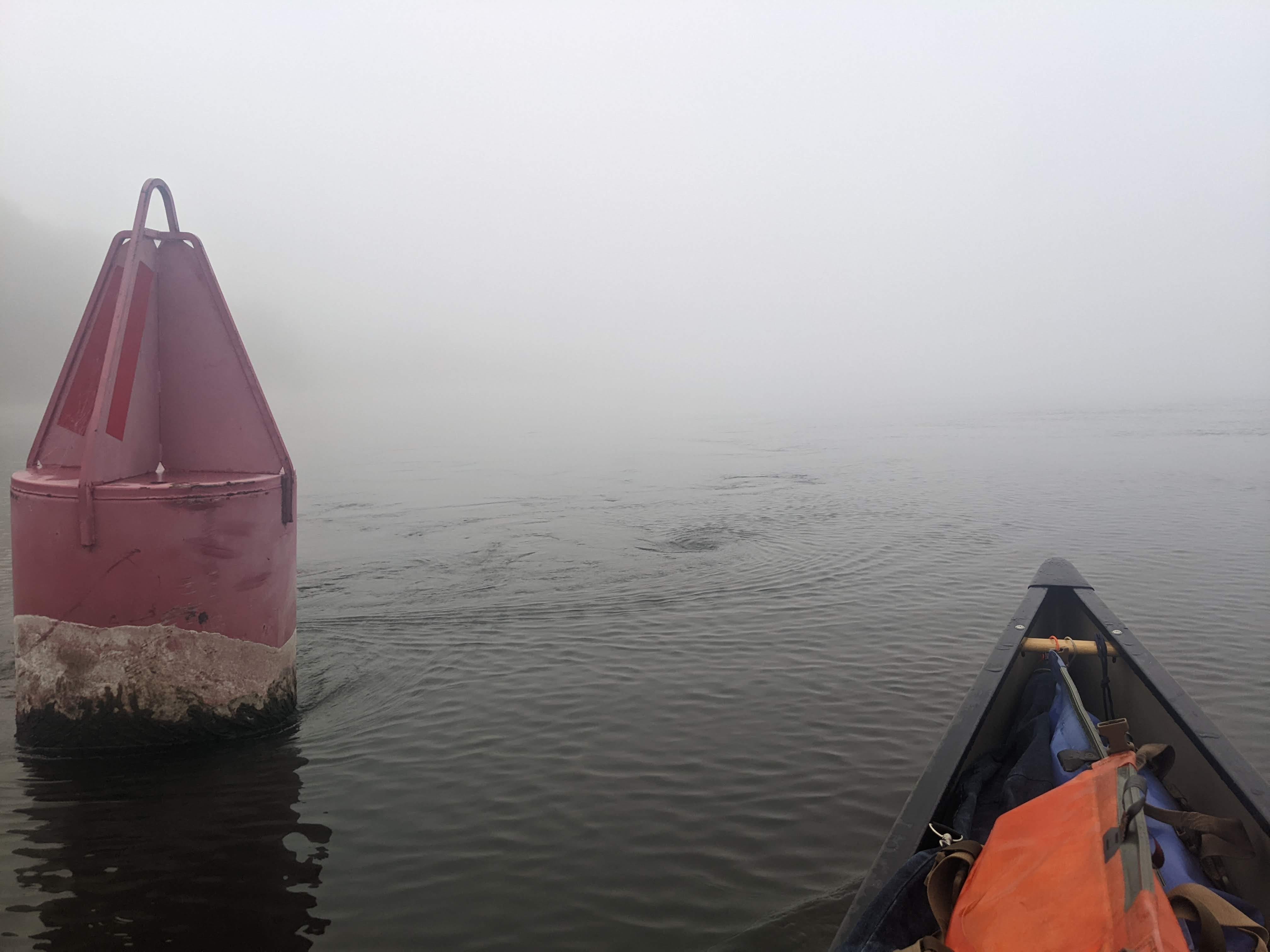
Lock #5A
I made it to my first lock of the day, Lock #5A, while the fog was still hanging over everything. I went through without a hitch in the eerie misty mechanical morning.
Why is there a lock #5A? (Lock #5 Auxiliary) Read on:
The lock was put in operation in 1936.
The original plan for the 9-foot channel system did not include this installation. However, due to pooling problems projected as a result of the construction of Lock and Dam No. 6 in conjunction with the City of Winona, this installation was designed and given a "B" priority.1
Lock #5 was put into operation in 1935, so there was approximately one year of use without Lock #5A. In the interim, they had pooling problems, which meant the Army Corps of Engineers had one of two options:
Increase the depth of Pool #6, ensure tows can navigate safely, and flood the city of Winona.
Decrease the depth of Pool #6 to below 9 feet, thereby protecting Winona from flooding, but making it more likely that tows would run aground.
It’s a massive pain to un-wedge a tow that is stuck on a shoal if it is unable to extract itself with its own horsepower. Indeed, 100+ years ago, tows/barges/steamboats could be stuck in the sand so badly that they were forced to wait until the next high water — which could end up being months. It’s also a pain to flood a city. Thus Lock #5A was built to achieve both. I believe it’s the only auxiliary lock on the Upper Mississippi.
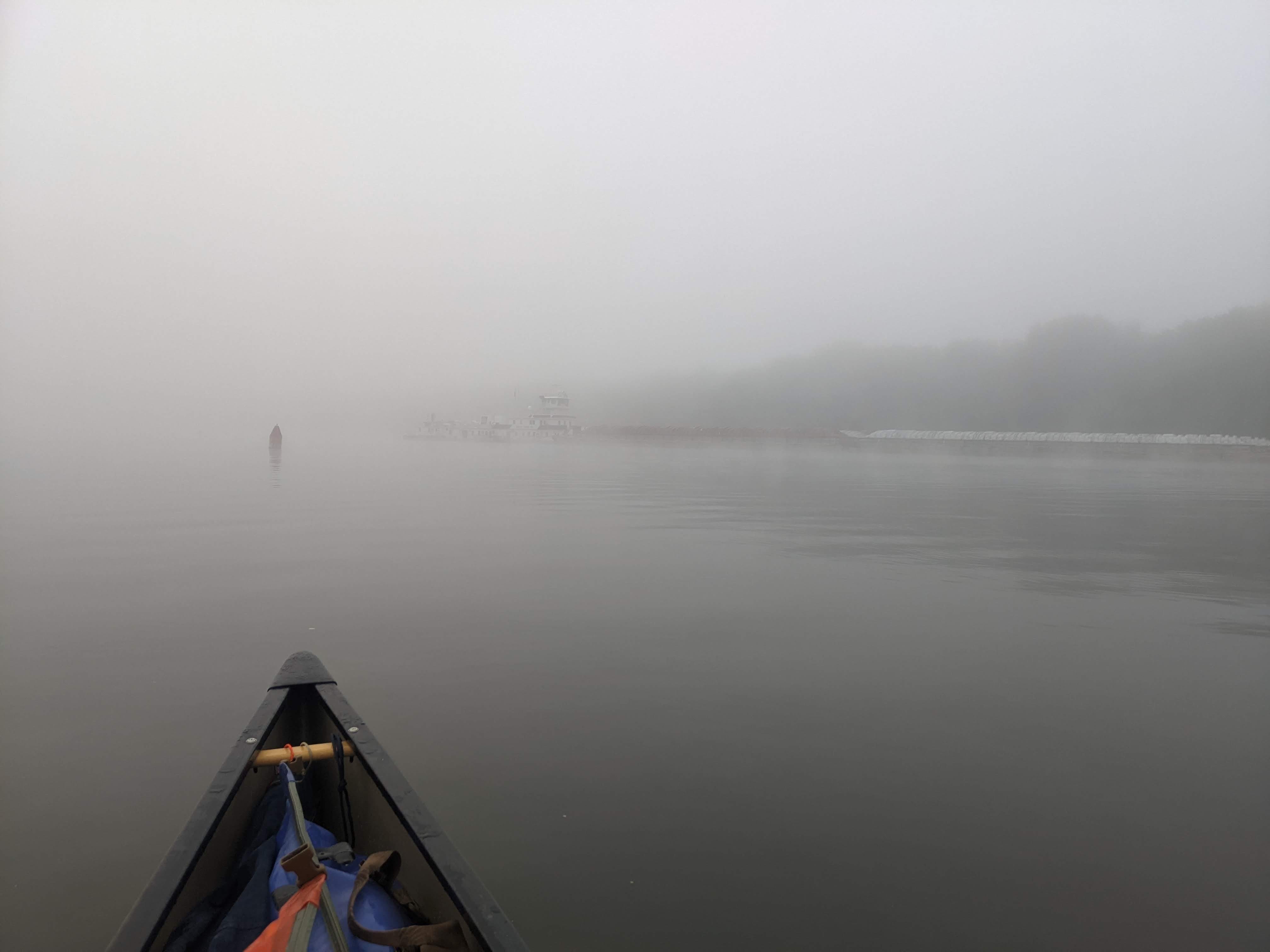
Winona in the Fog
When I arrived in Winona, it was whiteout conditions. I couldn’t see any of the scenery or town besides the industry on the waterfront. No picture of Sugar Loaf on this trip for me!
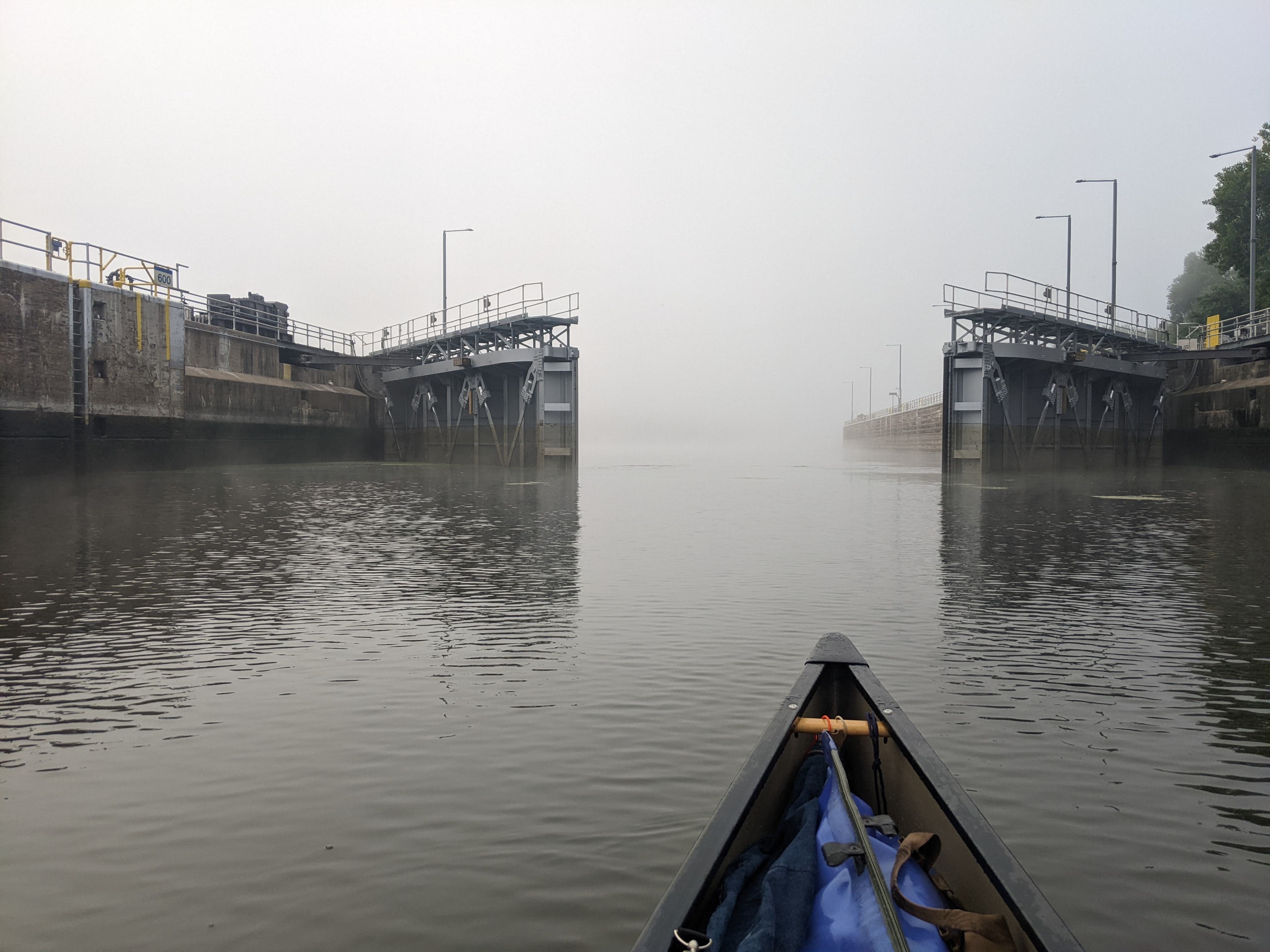
Lock #6
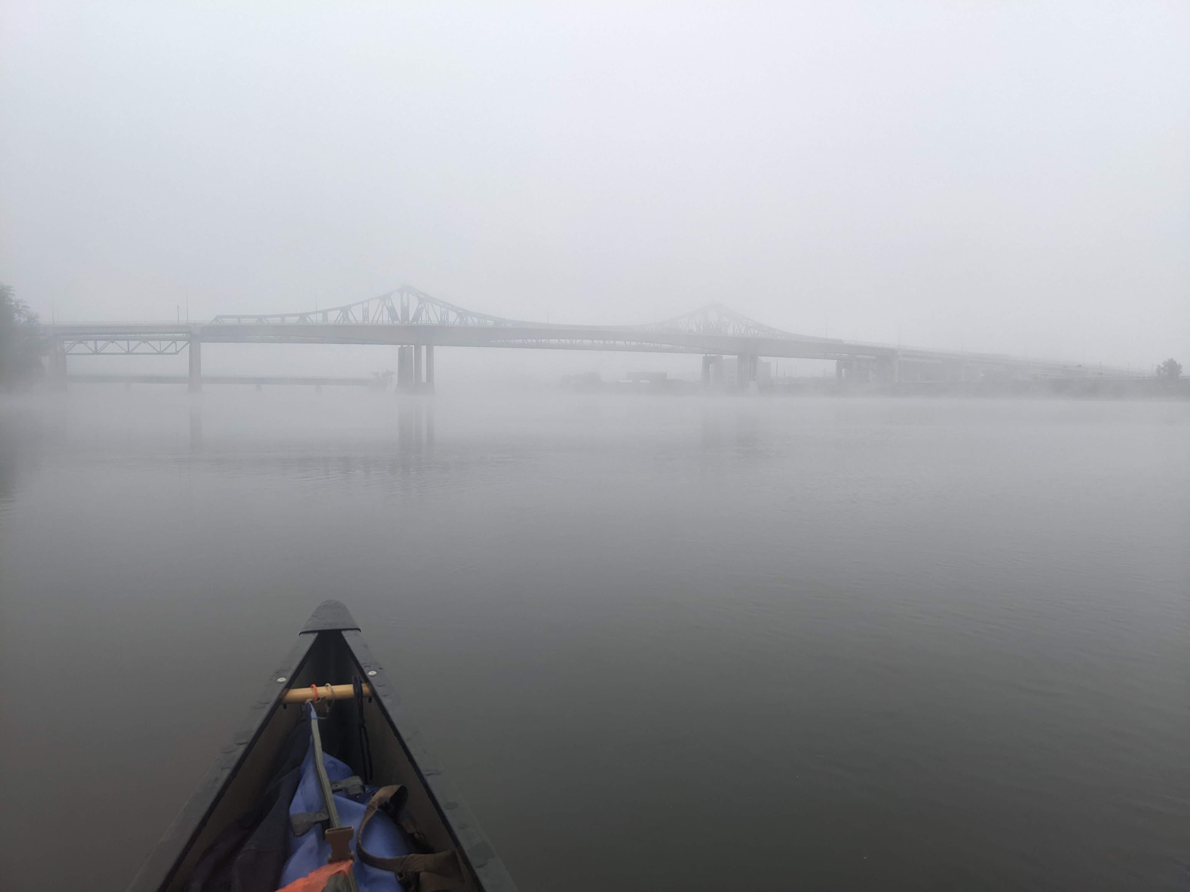
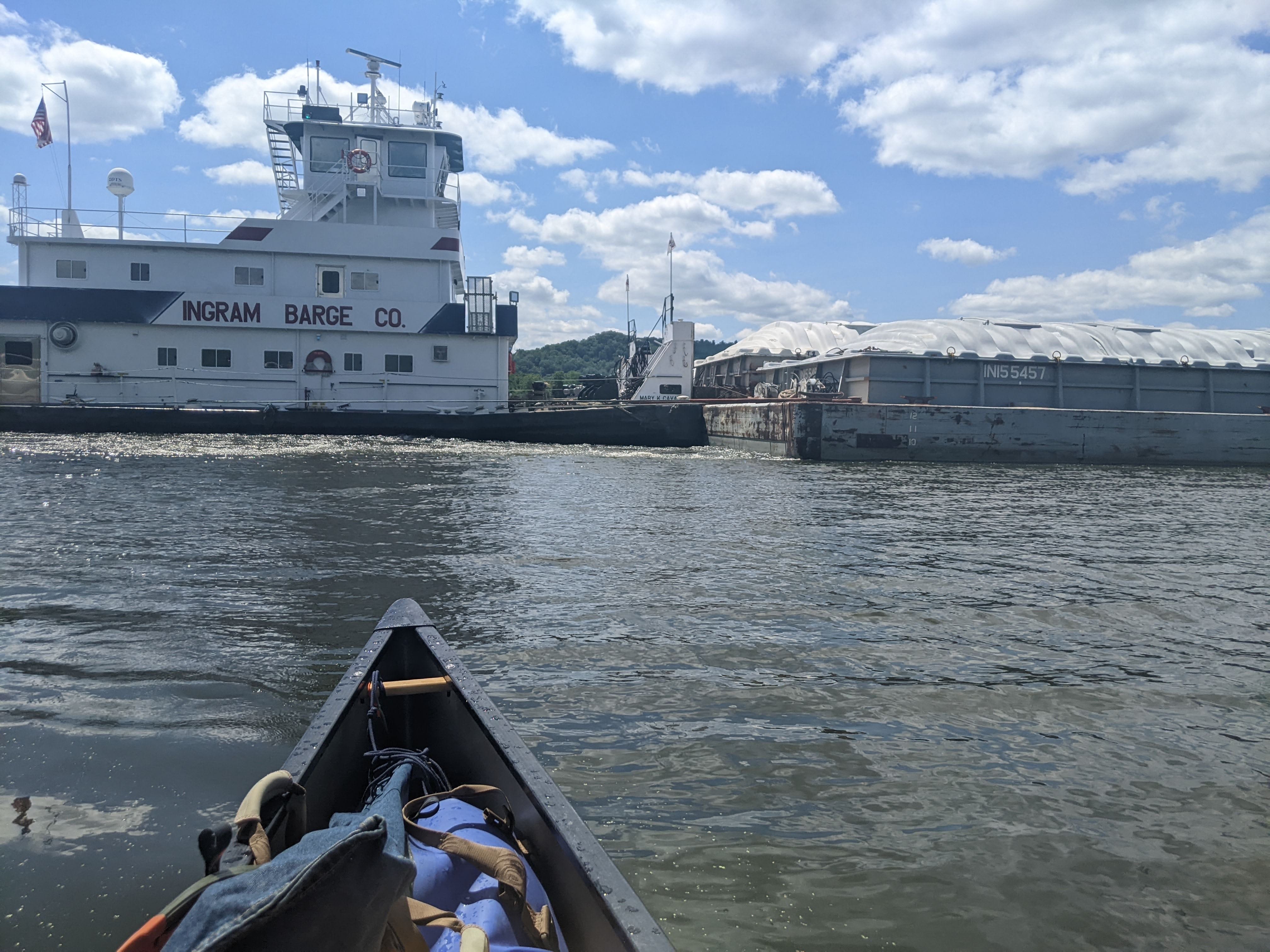
Finally, as I was putting distance between myself and Winona, the fog began to lift, and the page turned to a lovely sunny day. By this time, I was already closing in on Lock #6. Unfortunately for me, I saw a barge approaching the lock, and it was a big one. My fears were confirmed when the lockmaster said there would be a two hour wait time.
This was my first major delay at a lock. The barge required two hours to get through, because it had to go in two passes. The first three rows of barges went through in the first step up, they were promptly whisked away by a helper tow and staged. Then the fourth row and the tow went through in the second step up.
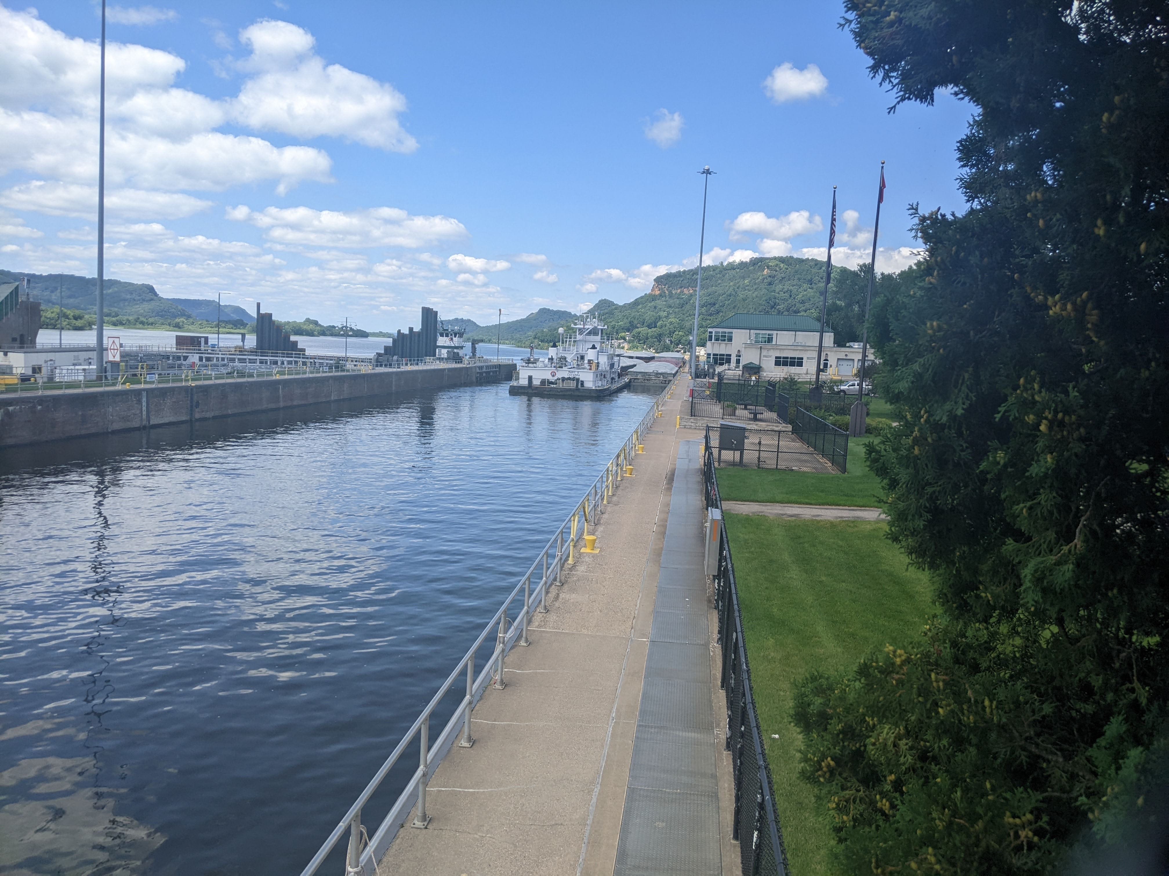
With my government-mandated break, I decided to eat lunch and take a nap in the shade. I also explored the land side of the dam, and met some new friends who were interested in the trip. They agreed to take a photo of me in the lock when I went through! I will share this photo later if I receive it!
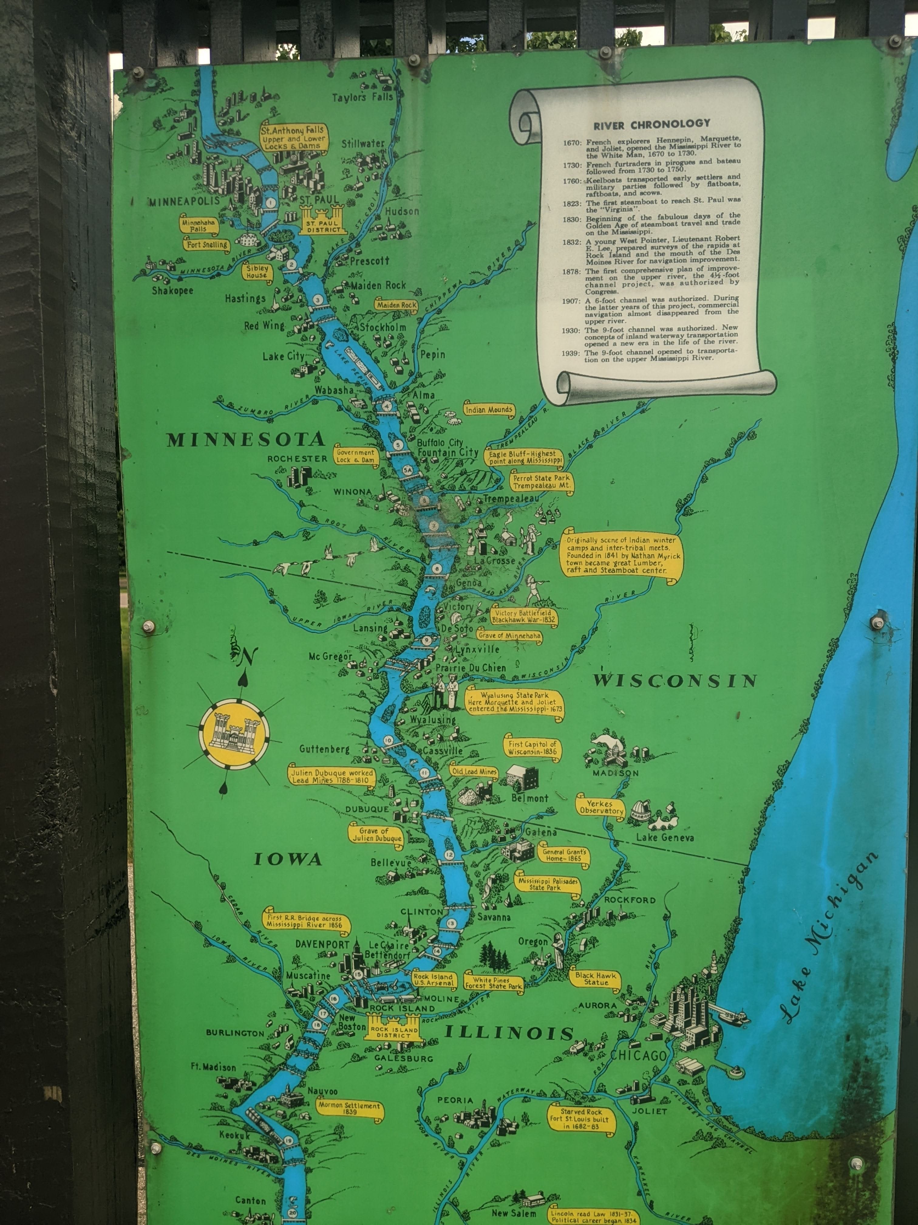
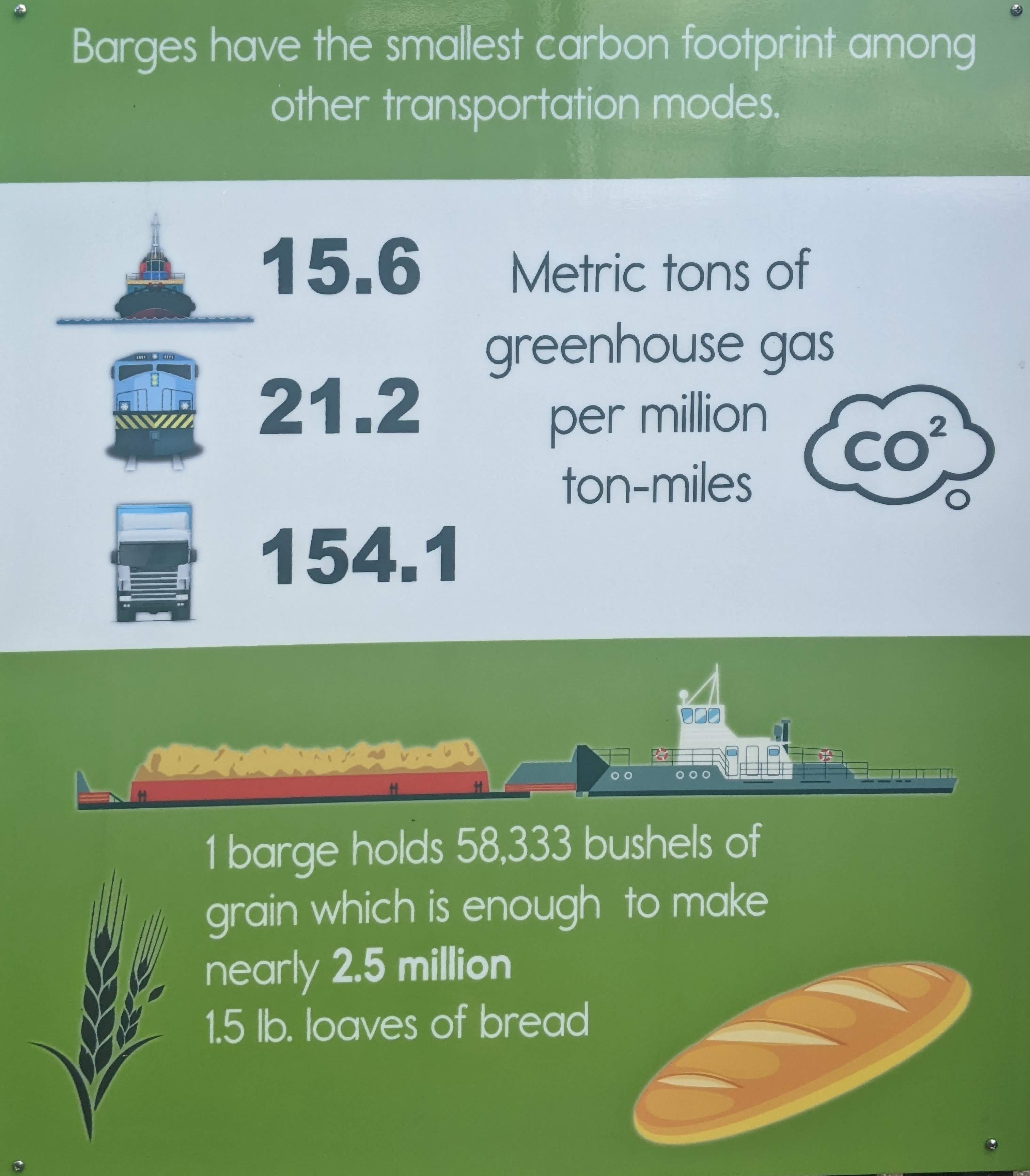
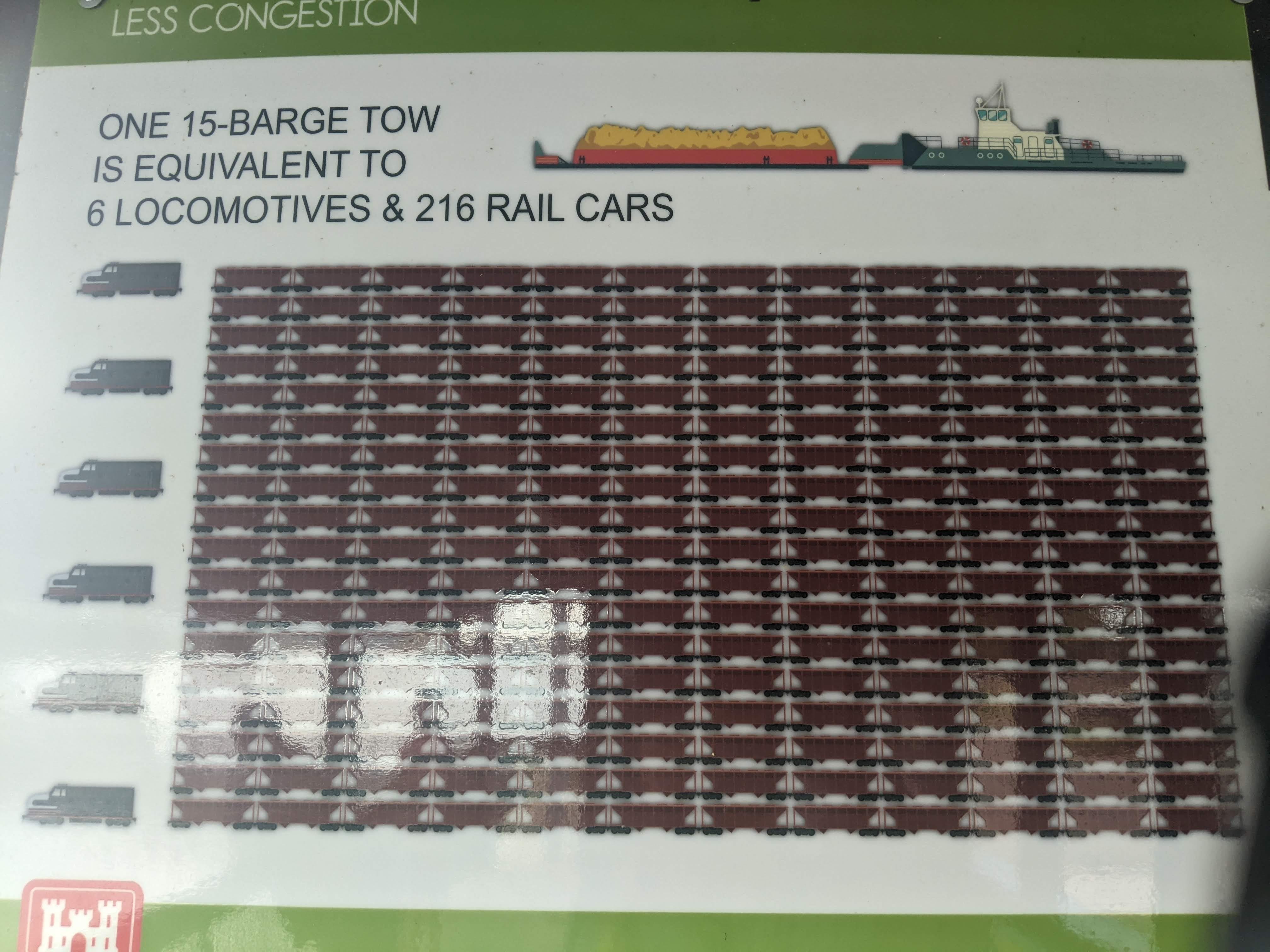
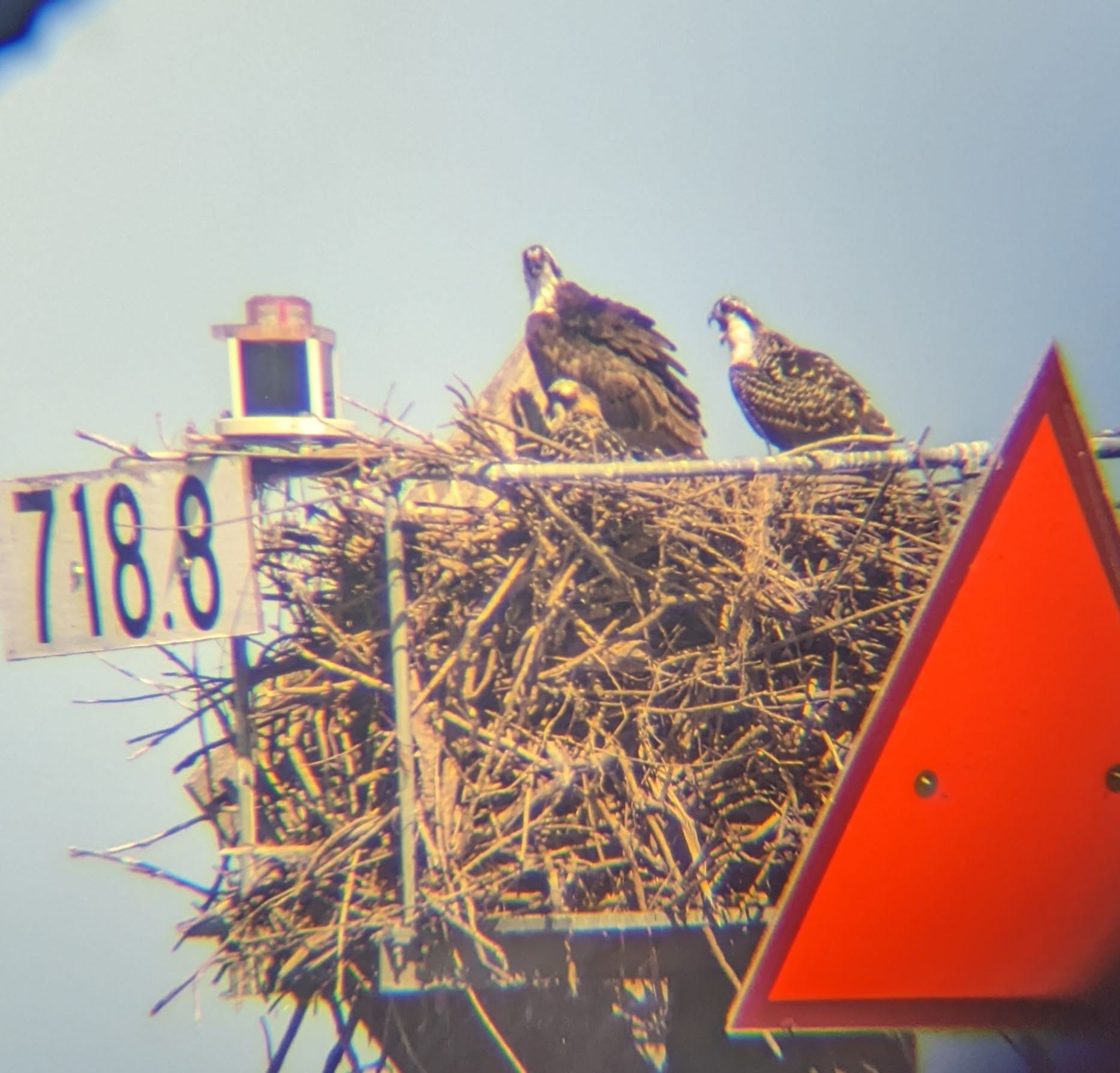
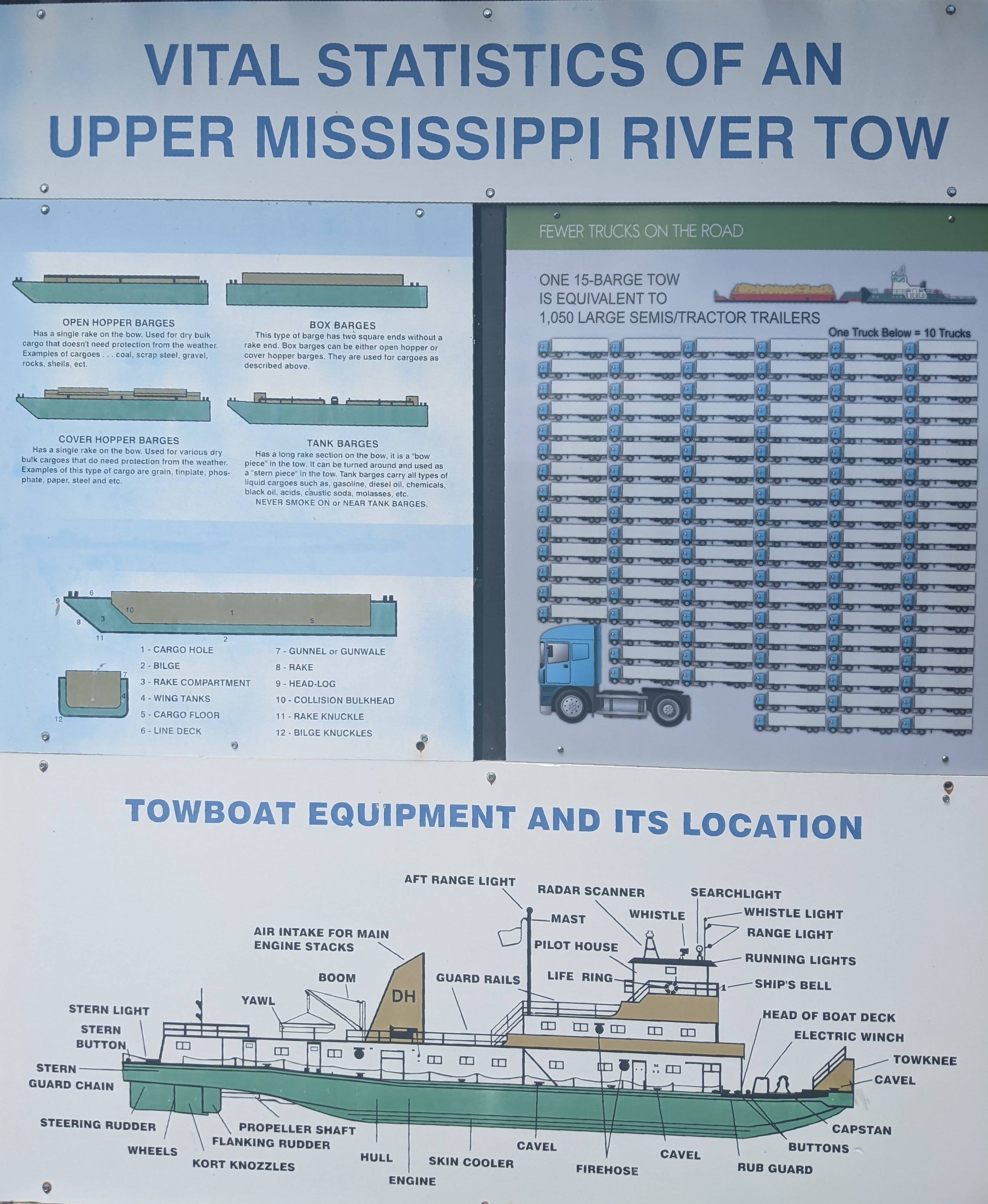
I found some interesting interpretive signs in the area as well:
Lock #7
After lunch, it was a matter of slogging through the afternoon heat, and making up a few more miles. I took a few swim breaks, which definitely make a difference! I began to look for a place to sleep for the night, but they were becoming sparse. This typically happens toward the downstream side of a pool, where the water is deeper, hence less sand showing. I realized I was nearing the end of Pool #7, and the best move would be to just simply lock through once more, and find a good campsite on the upper end of Pool #8, where there would be plenty of sand waiting for me. This is what I did, and I am calling Minnesota Island my home for the night.
It was a long day so that’s about all I have for today! Tomorrow will not be a 3 or 2 lock kind of day, it will be a 0 or 1 lock kind of day. This will put me close to the Iowa border for tomorrow night’s camp.
Day 33: Minnesota Island near La Crosse, WI → Lost Channel Island
Date: August 10th, 2022
URM 700 → URM 672
Distance today: 28 miles
River Time: 10 hours
Countdown to St. Louis: 492 miles
Today I awoke to a prodigious amount of dew on my table and tent and on, well … everything. Such is life when camping on an open sandbar without any tree cover. I put away my sloppy tent, paying attention to get as little sand clinging to it as possible— no small feat.
I got out on the water before 7 a.m., and headed off toward La Crosse. I decided to bypass most of La Crosse, and head down the Minnesota Channel. Back channels are nice.
The Dredge Piles
One thing I see a lot down here are the dredge piles. What’s a dredge pile? I’m glad you asked.
The U.S. Army Corps of Engineers has a mandate to maintain a 9-foot channel, which includes more than just making dams and pools. It also involves frequent dredging. Over time, especially in more stagnant water like in pools, sediment and silt being brought downstream settles at the bottom of the water. Enough of this, and the channel is no longer 9 feet deep. Dredging is the act of removing this silt and sediment (and whatever else is there, really, like dead trees, for example) and putting it somewhere else. And that somewhere else is dredge piles:
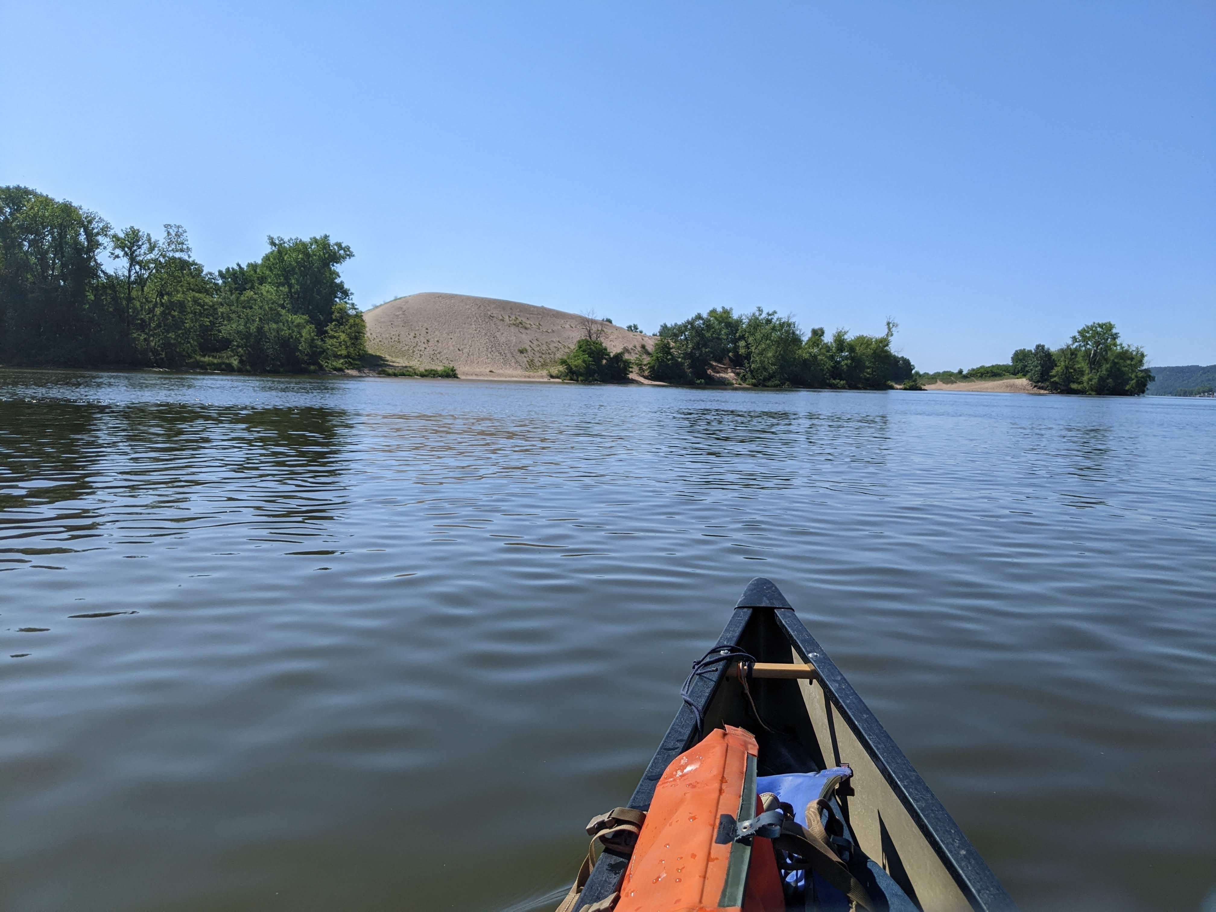
These piles can be 50 to 100 feet tall, probably some are taller. Unfortunately, this sediment cannot be repurposed for anything, as it is considered “contaminated” with fertilizer and other pollutants.
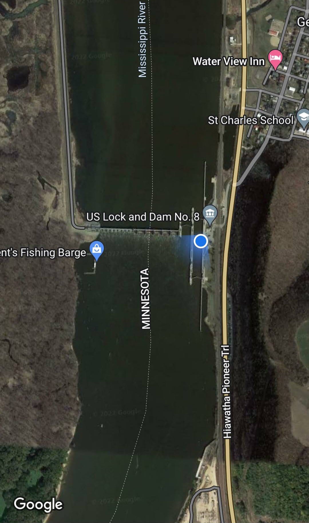
Lock #8
I had a long way to go before Lock #8, and I enjoyed not being “interrupted” by a lock. They are breaks, yes, but they mess with the flow of things — literally, too.
Gradually the channel got wider and wider, and I knew I was entering the pool before the lock. This one was big, the channel starting to widen 10+ miles prior to the lock.
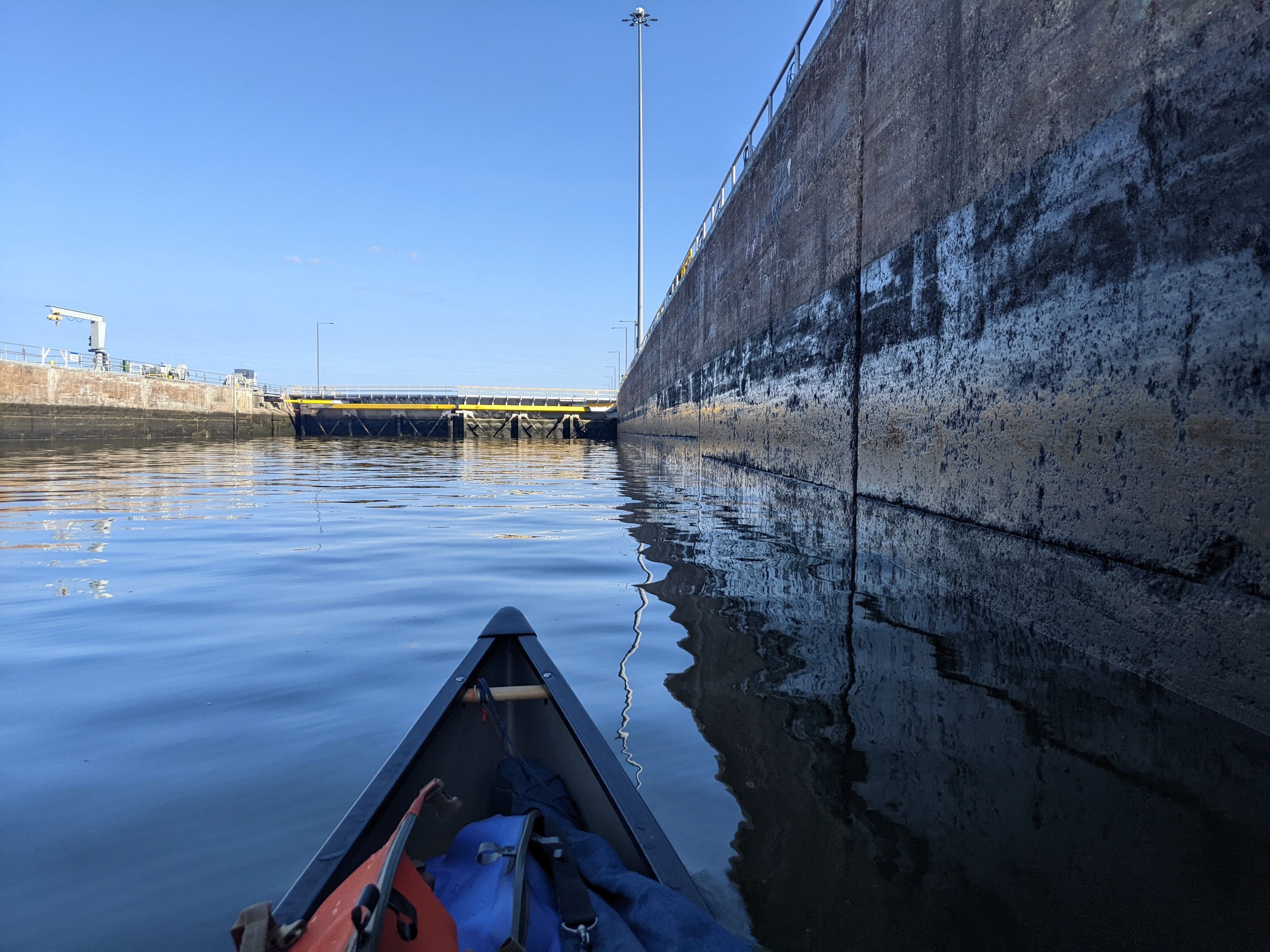
Lock #8 was the cleanest lock-through to date! It went something like this:
Me (over radio): Southbound canoe to Lock Eight.
Lockmaster: Lock Eight back.
Me: I’m about 15 minutes from your location. Are you available for a southbound lock at that time?
Lockmaster: Yep, I see ya! I’m opening the gate for you now, keep her coming!
Score! I waltzed right in to that open gate, and was through in under 10 minutes! That felt good after yesterday’s delays at the lock.
Lock #8 was outputting about 28,000 CFS, a step up from 22,400 yesterday at Lock #7. I could feel a small uptick in the flow, which was encouraging! Still nothing like it was between St. Cloud and the Twin Cities.
As I was locking through, I realized that this is the last lock and dam in Minnesota. Indeed, I was only about 5 miles from the Iowa border. This was motivation to go a little farther in the day to reach a milestone!
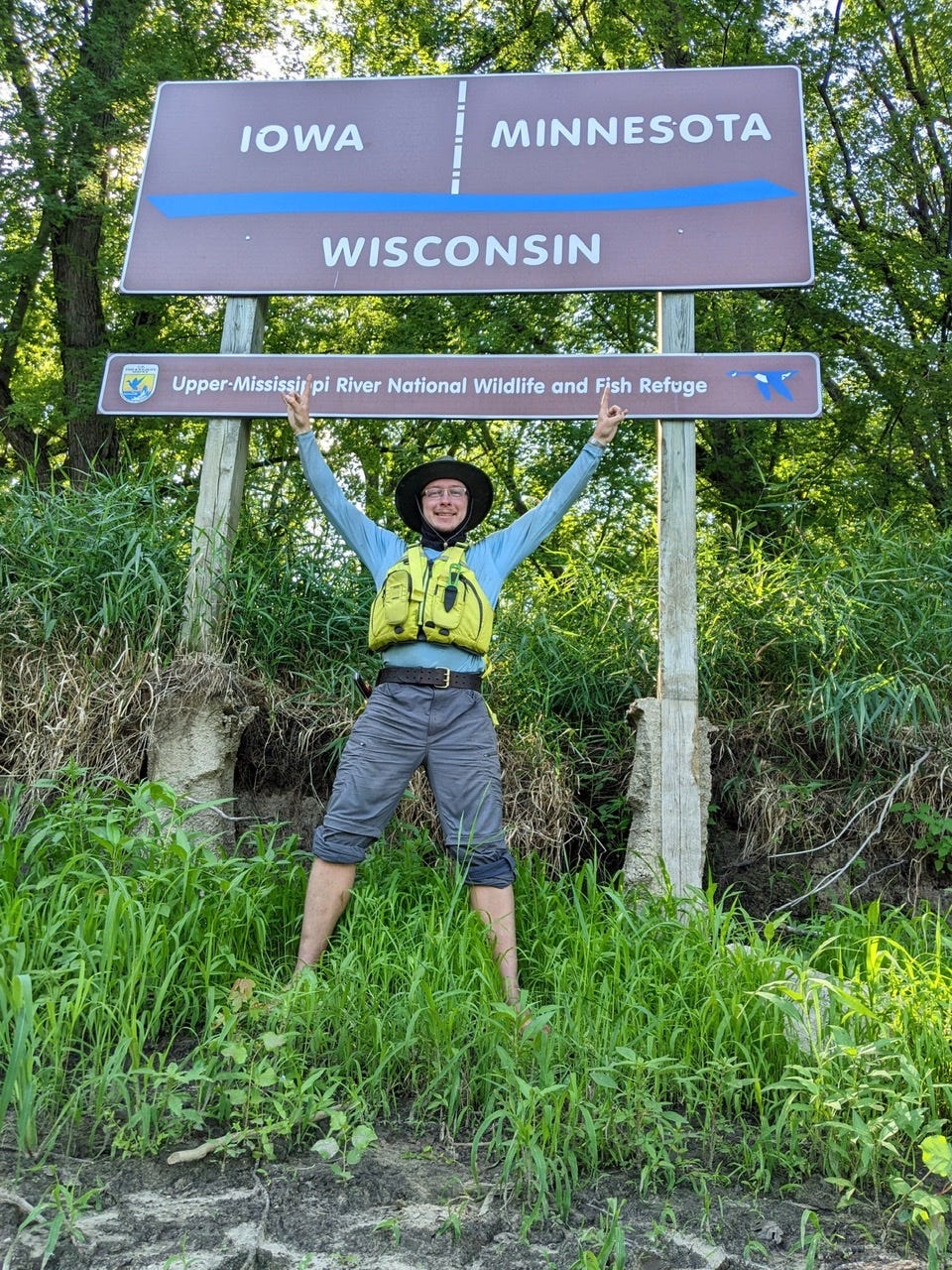
It took me 33 days of paddling to get out of Minnesota. The River is an entirely different animal than it was in the wee little headwater section. It’s bittersweet. I am sad to leave all the memories and beauty Minnesota afforded me for the first 33 days of this trip. I am also looking excitedly and clear-eyed down the Big River that connects us all.
Following my entry into Iowa, I began my search for a place to spend the night. There weren’t many immediately, but a few miles in they began to show up. My campsite doesn’t have a name tonight so I’m calling it Lost Channel Island.
Cheers!
J-C
More photos
River Log Day 32
729 - Island 64: 1 great spot, RBD. National Wildlife Refuge.
713: Across from Richmond Island. RBD. Great sandbar site.
Pool 7: Slim pickings toward bottom of pool.
700: LBD - Good sandbar sites on Minnesota Island.
River Log Day 33
691: RBD. Good National Wildlife Refuge sandbar sites
689: LBD. Good sandbar sites.
Pool 8. Nothing good for last 10 miles of pool 8.
679: RBD. Good sites immediately following Lock #8.
679-675: Many good sites including Twin Island, Bad Axe/Gillette Island, Island 135.
672: Next good sites here, LBD on Henderson Island, Lost Channel Island.
Fact Sheet: Lock & Dam 5A. Updated Aug. 2018. Locks and Dams - Upper Mississippi River; U.S. Army Corps of Engineers, Rock Island District.
Thanks for another interesting and informative journal entry! Your stories and photos make us feel like we’re going down the river with you. We’ll miss you in Minnesota, but look forward to reading about the adventures yet to come.
Your misty, mechanical morning must have been a bit moody and mysterious, too. It’s always interesting and helpful to see your pictures - brings your voyage closer to home, at least for me. I’m sad you’re leaving Minnesota but look forward to your report from Iowa. Enjoy Bluff Country!