


Days 61 & 62 - New Madrid, Caruthersville, and FAQs
And meeting some fellow through-paddlers!

I thought I’d mix it up a bit and do a little FAQ session for some questions I've been getting a lot. These are questions asked to me by text or email, or in person by people in motor boats, etc. If you have another question, feel free to ask by replying to this email, or on the site.
Scroll down below to see the daily reports.
Q: Where are you coming from?
A: I began as far up on the Mississippi as it goes, Lake Itasca, the headwaters.
Q: Will you be taking the Mississippi or the Atchafalaya?
A: The Mississippi
Q: Are you going to New Orleans or the Gulf of Mexico?
A: At this time the plan is to go a bit past mile 0, to saltwater.
Q: Are you scared of the tows?
A: No. Generally there is enough water to go around. Even if I am in the navigation channel, most tows around here are small. I’ve never had a problem with the wakes, either.
Q: What do you do for your food/meals?
A: My breakfast routine has become very spartan. No brewing coffee anymore. Just a couple of energy bars once I’m already floating.
A: Lunch is a “Peeber” (PB & J plus Trail mix, yum!) and whatever else I have on hand. Apples, beef jerky, carrots, chips, peaches, bars, etc.
A: For dinners I do a 50/50 split between “instant” meals and fire-cooked meals. Usually cooked meals right after a resupply when I still have fresh stuff, then instant meals after. A common cooked meal I have is gnocchi plus Brussels sprouts. “Instant” meals can be MREs, freeze-dried food, or just-add-water meals like mac and cheese.
Q: Do you lose weight on this trip?
A: Yes I have, not sure how much. I think I lost more in the beginning, but now I’ve plateaued, which is good!
Q: What do you do for water?
A: Well, I used to purify the river water and drink that, but those days are far behind me. Now I carry a 5-gallon water jug, like the kinds on water coolers. I refill in towns or at campsites.
Q: What do you do about animals? Do they get in your food?
A: In Minnesota, I held all my food in bear canisters, and overflow food in a bear bag. However, now that I am in the land of sandbars, and without guaranteed trees, I no longer have a bear hang. I have never had a problem with predators coming for my food or myself. Only one time have I had an altercation with a raccoon on a sandbar (not on this trip).
Q: How do you protect yourself from the sun?
A: Generally, I wear long pants and long-sleeve sun shirts, a hat, and a neck gator. This means I’m covered basically head to toe and only need to apply sunscreen to my nose and the backs of my hands.
Q: How long does it take to go through the locks?
A: The whole process of them opening the gates, paddling in, closing the gates, lowering, opening the lower gate, and paddling out — takes maybe 20-30 minutes for each lock. Once the gates are closed, just the lowering portion takes maybe 5-10 minutes.
The lockmaster can actually control how fast the water outflow is. Sometimes I can tell when a lockmaster has the valves fully open, as I drop faster in these locks, and the water is more turbulent.
Q: Why are you doing this trip?
A: The big question. It has many answers. I want to do something real, something tangible. There is no gimmick or trick from going source to sea, you have to put in the work, and I enjoy that challenge. I want to test myself to see if I can see this through, and to find out what I’m made of. I think challenges like these make me stronger, mentally and physically, and I always emerge with a sense of accomplishment. In general, doing tough things is good, I think.
A: This is something that can never be taken away from me forever after.
A: I want to bear witness to the Mississippi River in 2022 — it’s always changing. I’m doing this by writing at least one sentence for every day on the River, and taking pictures along the way.
A: This is a unique and extremely interesting way to explore America. I have met and talked with so many people I would have never had the chance to otherwise. That part has been extremely meaningful and impactful; the kindness I’ve seen from strangers all down this River has been incredible.
Day 61: Donaldson Point Island → Ruddles Point Bar
Date: September 7th, 2022
LRM 908 → LRM 875
Distance today: 33 miles
River Time: 8 hours
Countdown to Memphis: 138 miles

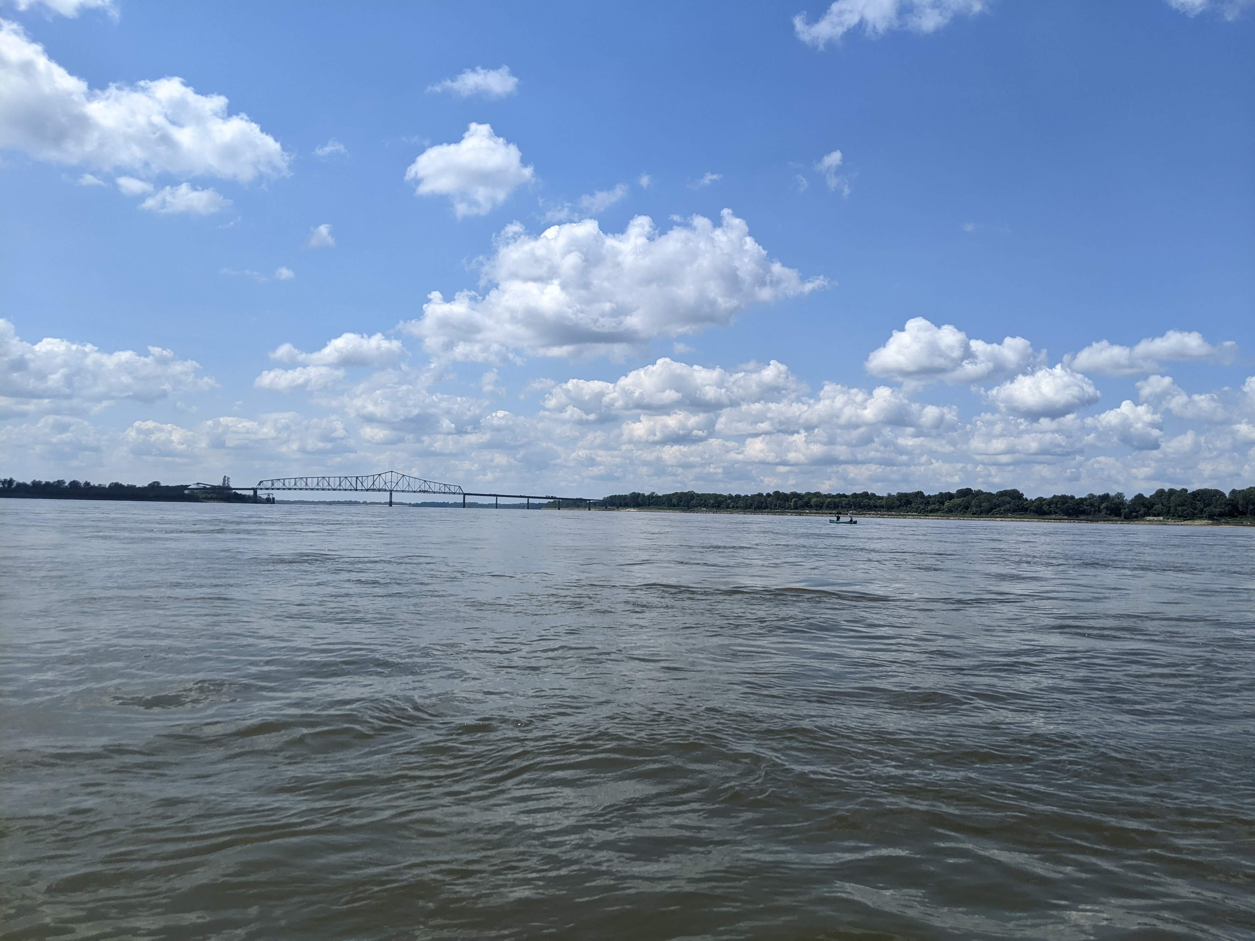
Today was an odd day. The Mississippi is very meandering here, but each bend in the River is 5-10 miles long. As a result, I spent the majority of the day going only a single mile as the crow flies, through the New Madrid bend. Take a look:
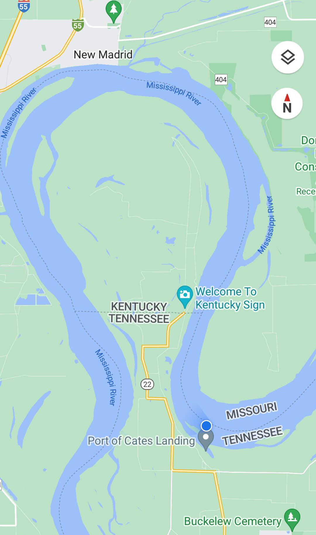
In the process, the state on my left side changed 3 times! After all was said and done, I’ve now left Kentucky for good, and will have Tennessee on my left-hand side until just past Memphis. RiverGator describes it best:
"Like the popular dancer at a ball, the Mississippi sashays into Tennessee for 8 miles around Donaldson Point, and then recrosses the dance floor to share one last dance with Kentucky, throwing Tennessee to the side momentarily. There are 175 miles of Mississippi River total flowing along the western border of Tennessee, if you add in this piece at Donaldson Point. After revolving completely around Bessie’s Bend, the Mississippi will take Tennessee again as a partner at mile 882."1
As a result of the odd bends, the wind was shifting a lot — well, I was shifting my direction, the wind was staying the same. I had about 10 miles of really tough headwinds but the rest of the day it was either neutral or a tailwind. I’ll take it!
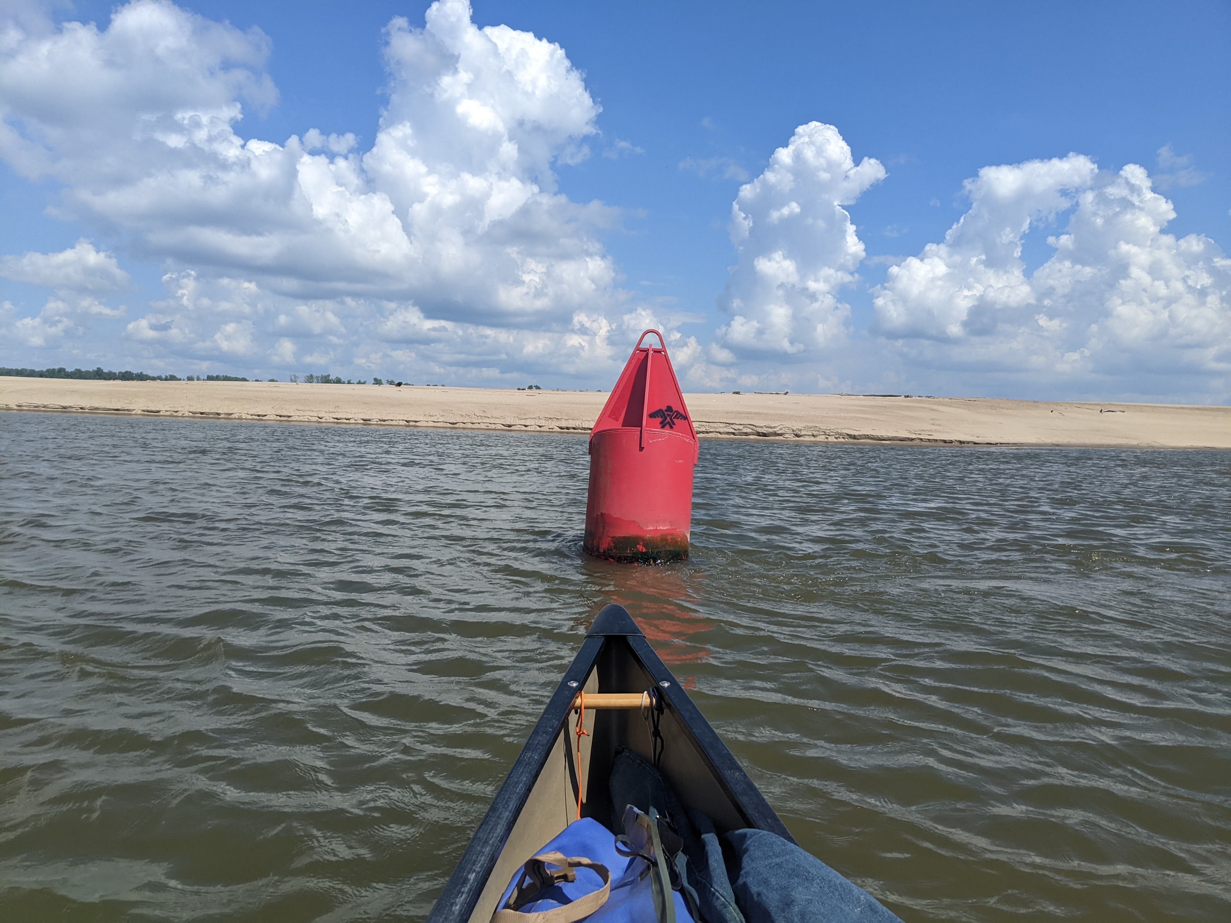
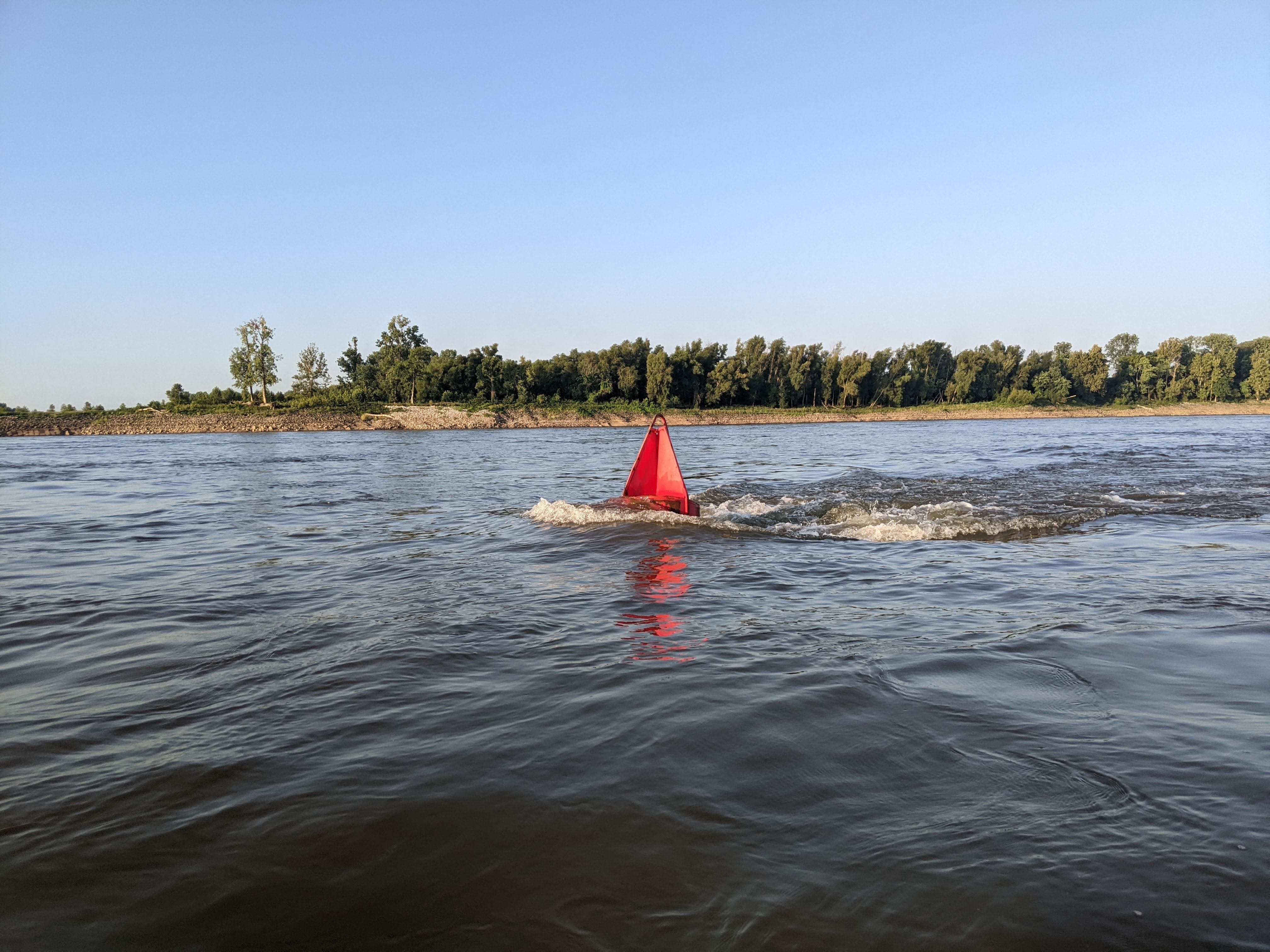
Along the way, I passed multiple hubs of industry, which is normal. I also noticed a peculiar stencil of an eagle on the buoys in this area. What could it mean?

There appeared to be a large gap in good campsites with afternoon shade, so I took a bit of a shorter day and ended just past the New Madrid bend. I am camped on the Missouri side, looking across the River at Bixby Towhead, which I have to assume is a reference to Horace Bixby, Samuel Clemens’ (Mark Twain’s) tow boat pilot mentor. There are numerous chapters of Mark Twain’s autobiography describing the shrewdness and raw capability of his mentor, Captain Bixby.
Anyway, I am here at a gorgeous and spacious sandbar with many willows and cottonwoods for shade. Life is good. Tomorrow, I will aim to make it past Caruthersville, MO.
Day 62: Ruddles Point Bar → Island No. 20
Date: September 8th, 2022
LRM 875 → LRM 829
Distance today: 46 miles
River Time: 8 hours
Countdown to Memphis: 92 miles
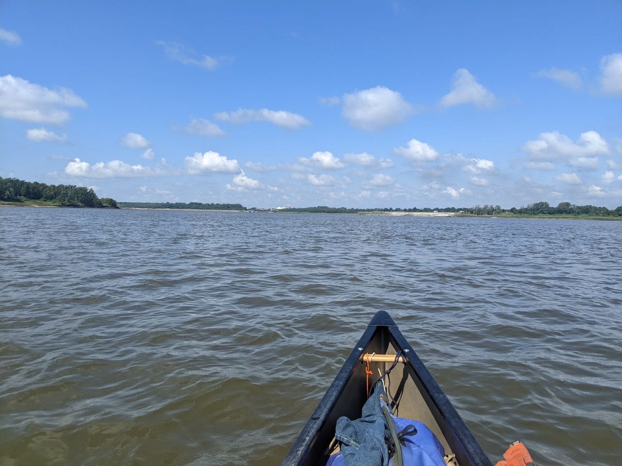
Today was a glorious day for paddling. The wind was right and the current was swift. There was heavy barge traffic this morning, and I rounded some 10-mile bends with oceans of sand.
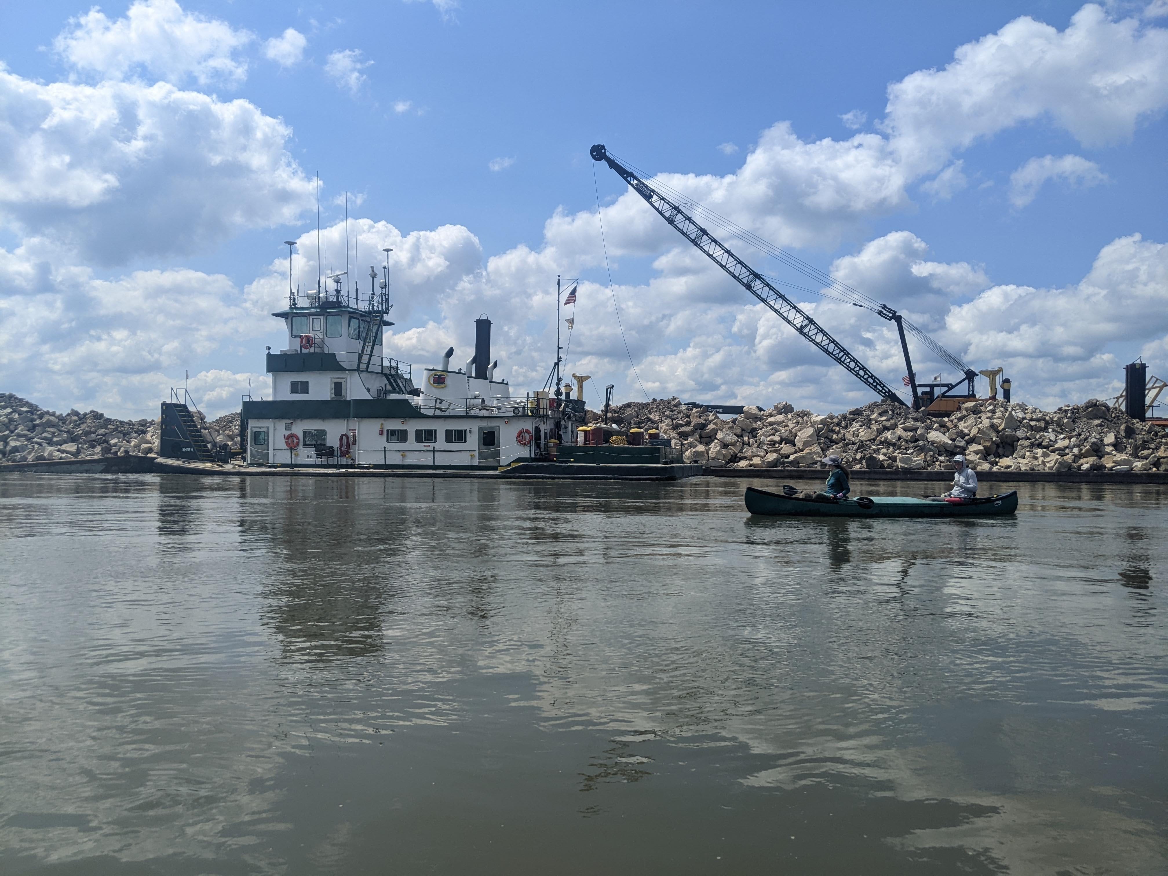
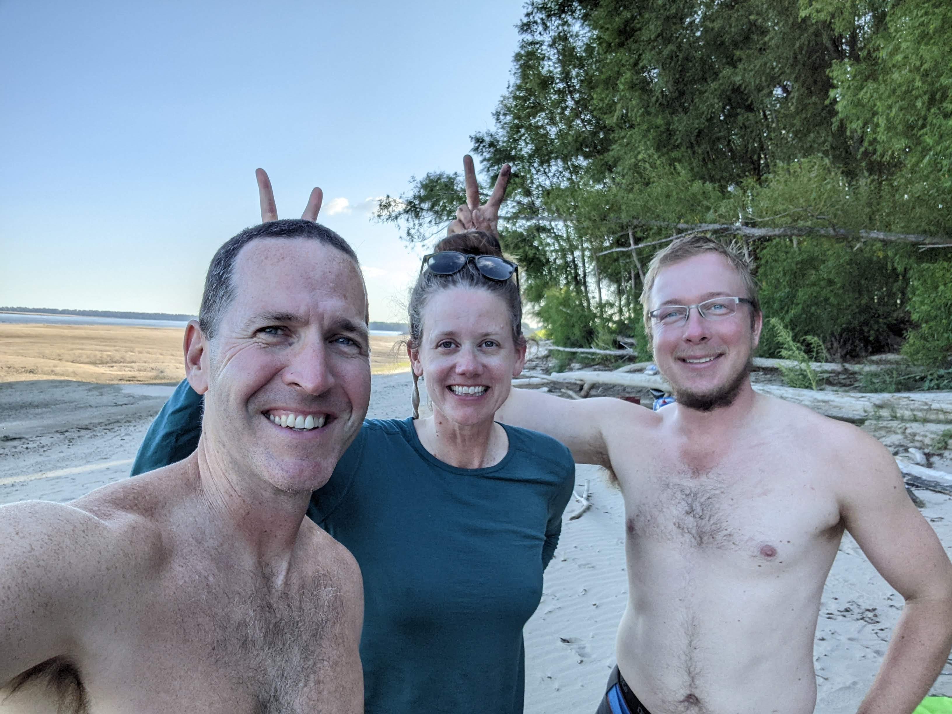
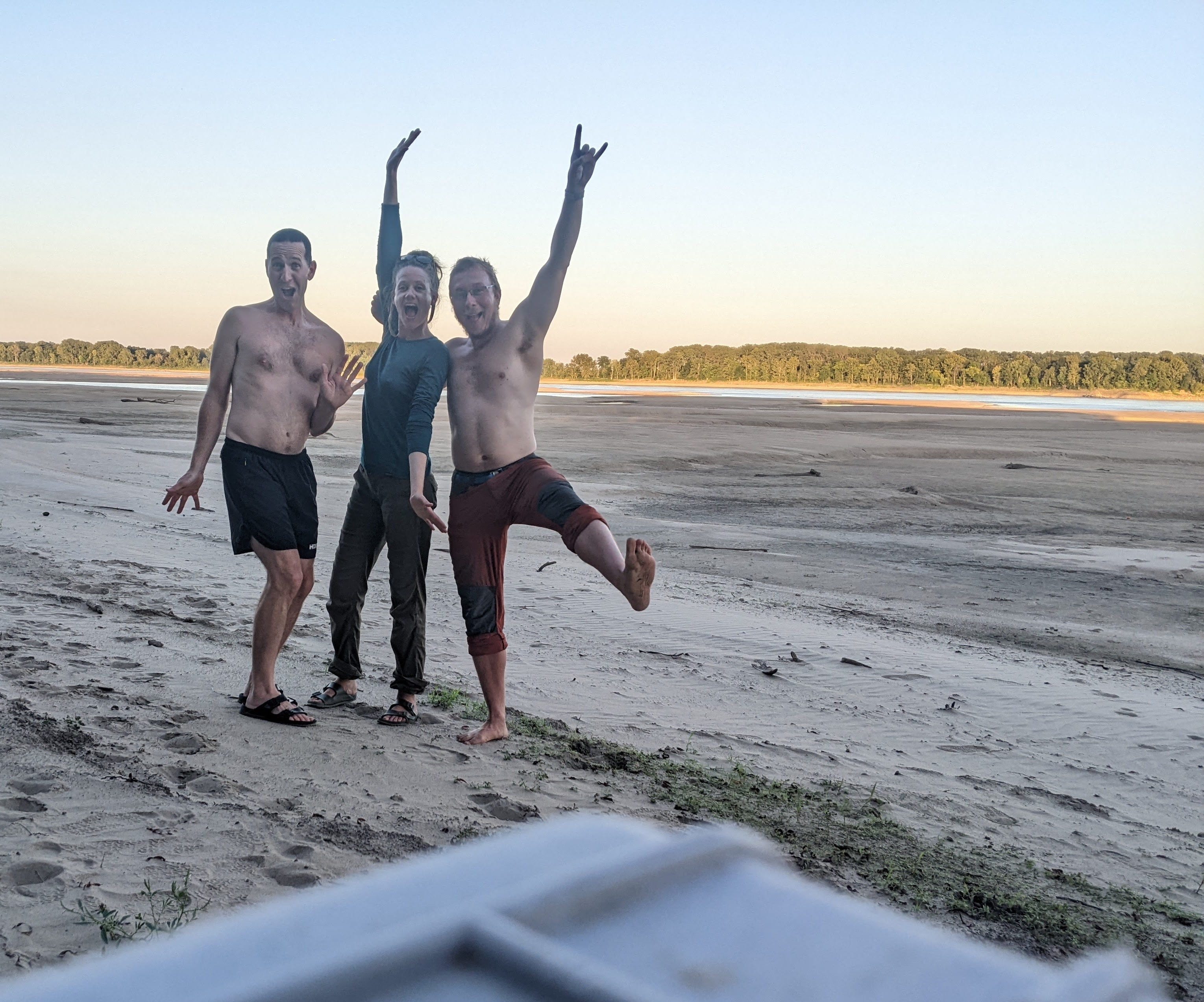
The highlight of the day was meeting fellow through-paddlers Amelia and Adam. (Also known as the A-Team in some circles!) They are through-paddling the entire Mississippi in a tandem canoe. We met up and paddled together, swapped stories, and shared advice for a solid 3 hours out on the water.
It was wonderful to meet fellow paddlers! Unlike through hiking, it is much tougher to meet other paddlers, for a few reasons:
We’re all going the same direction, southbound, so you’re not going to run into someone paddling the opposite direction. Plus, most people go at generally the same speed.
There are only 30-50 people who do the entire Mississippi River each year, as opposed to thousands for major trails like the PCT or AT.
In the Lower River, canoes and kayaks look like specks. You could pass one on shore and have no idea.
There are far fewer day-trippers/short term paddlers. I think I’ve only crossed paths with one group doing a 3-day trip. (In the very early goings, day ~11.)
Needless to say, it was special to meet some people who had gone through all the same landmarks and milestones as I had. Most locals we meet know a very limited stretch of the River. So it was very fun to talk about The Headwaters, Lake Winnie, Lake Pepin, the Chain of Rocks, and more together. There was much solidarity of experience.
We split ways temporarily, and I met Mike, the local River Angel, for a water resupply, and a few other essentials. Thanks Mike for your service to the River and to paddlers!
I met back up with Amelia and Adam at Island No. 20. In order to enjoy the company of those around me, I will keep it brief and end it here.
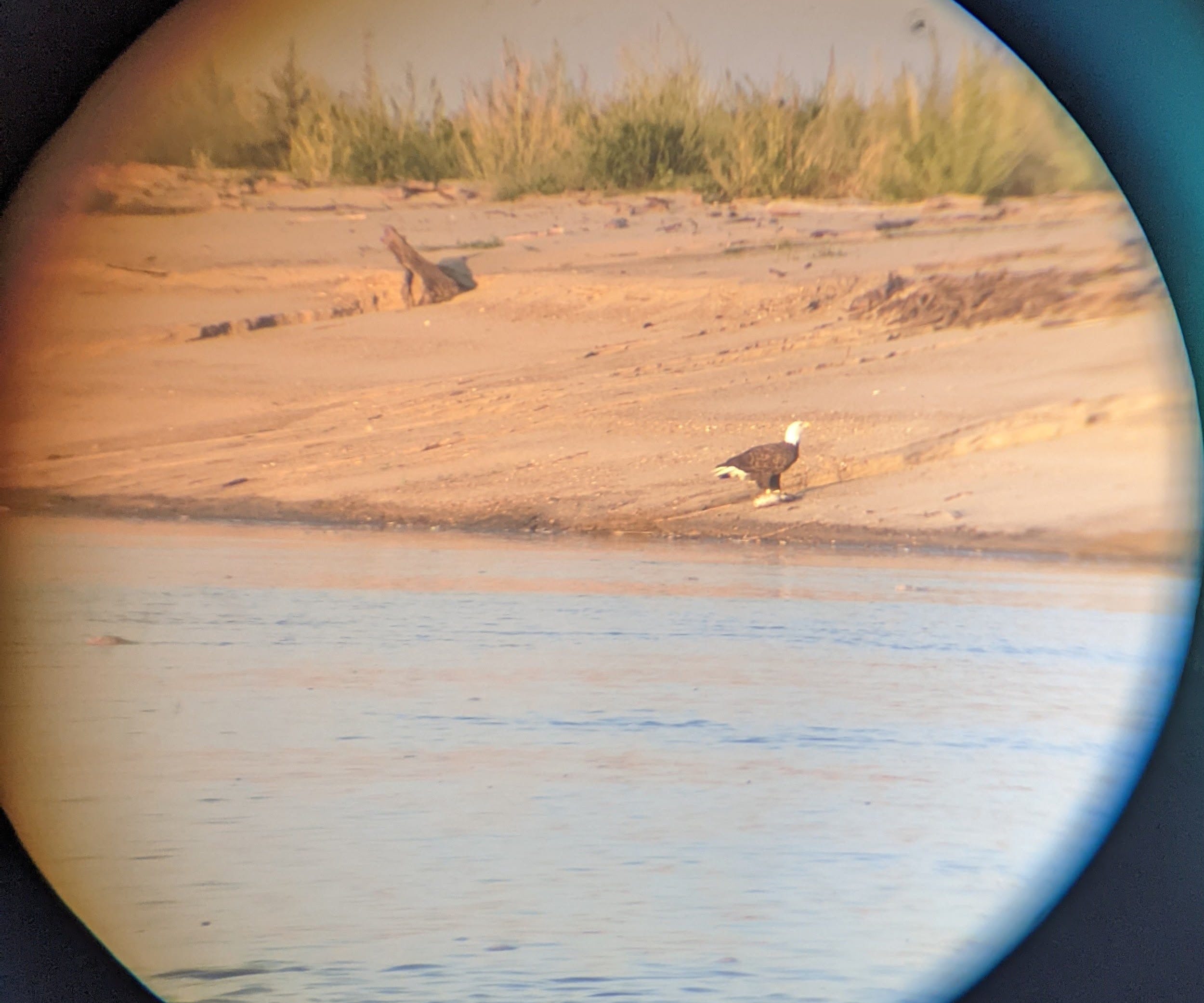
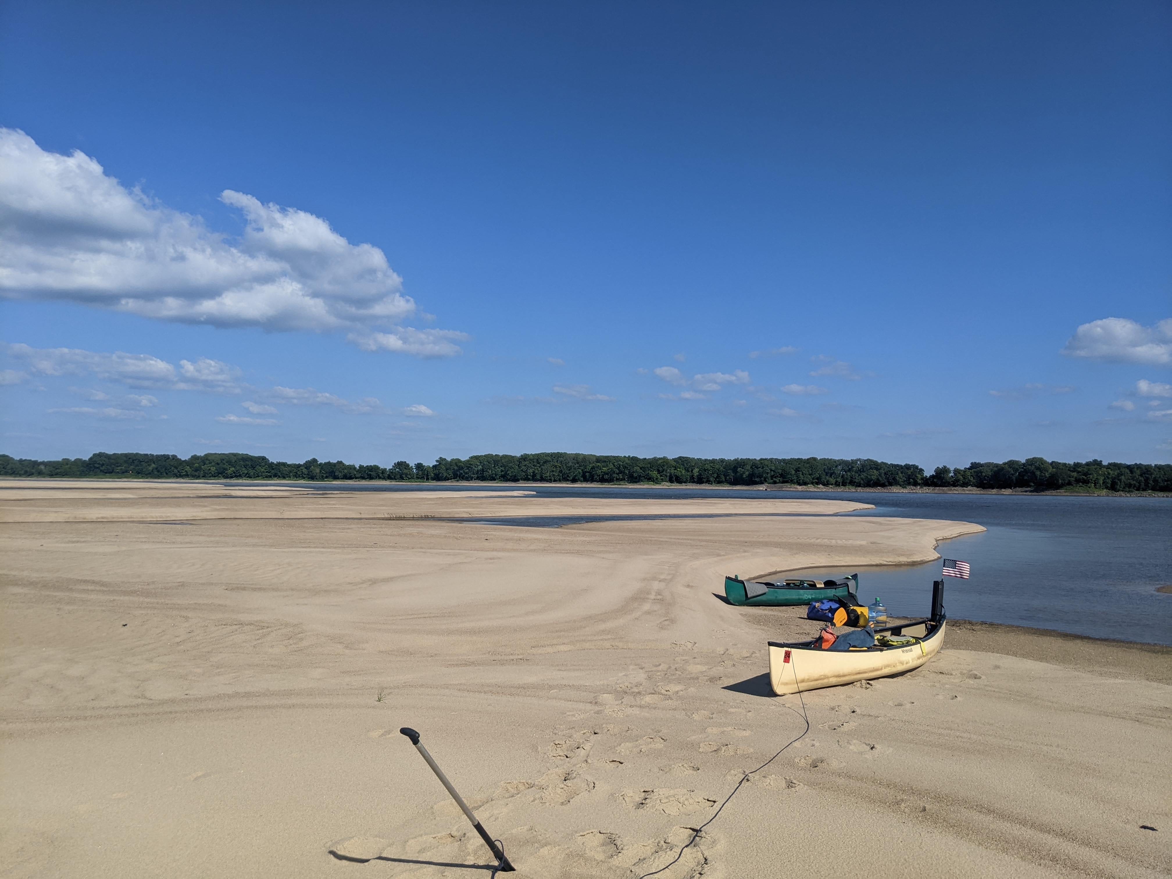
Below are some photos from the day:
River Log Days 60 & 61:
New Madrid Gauge @ ~4
913 - Island No. 8: Good low-water camping at very foot of island
908 - Donaldson Islands: two good low-water camping options on some built-up willow bars. Afternoon shade.
899 - New Madrid: Public ramp/campground has outlet for charging gear. In addition, the local police station are official River Angels. Call the non-emergency number/dispatch to ask to camp overnight, and for any resupply needed.
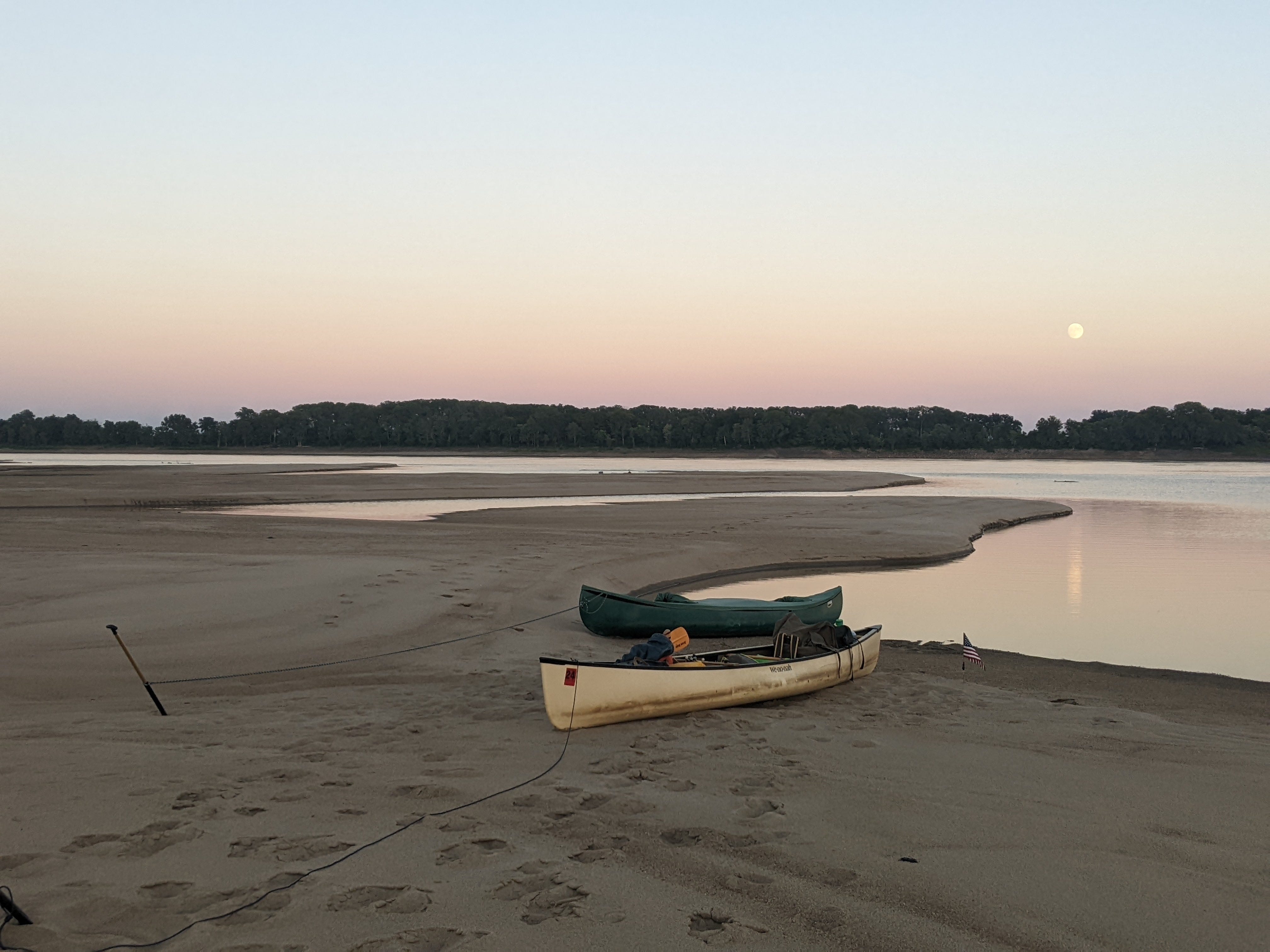
875 - Ruddles Point Bar: Good low-water camping right before power line. RBD. Great afternoon shade.
From RiverGator